The best mountain hikes around Le Bouchet-Mont-Charvin
4.8
(52)
433
hikers
28
hikes
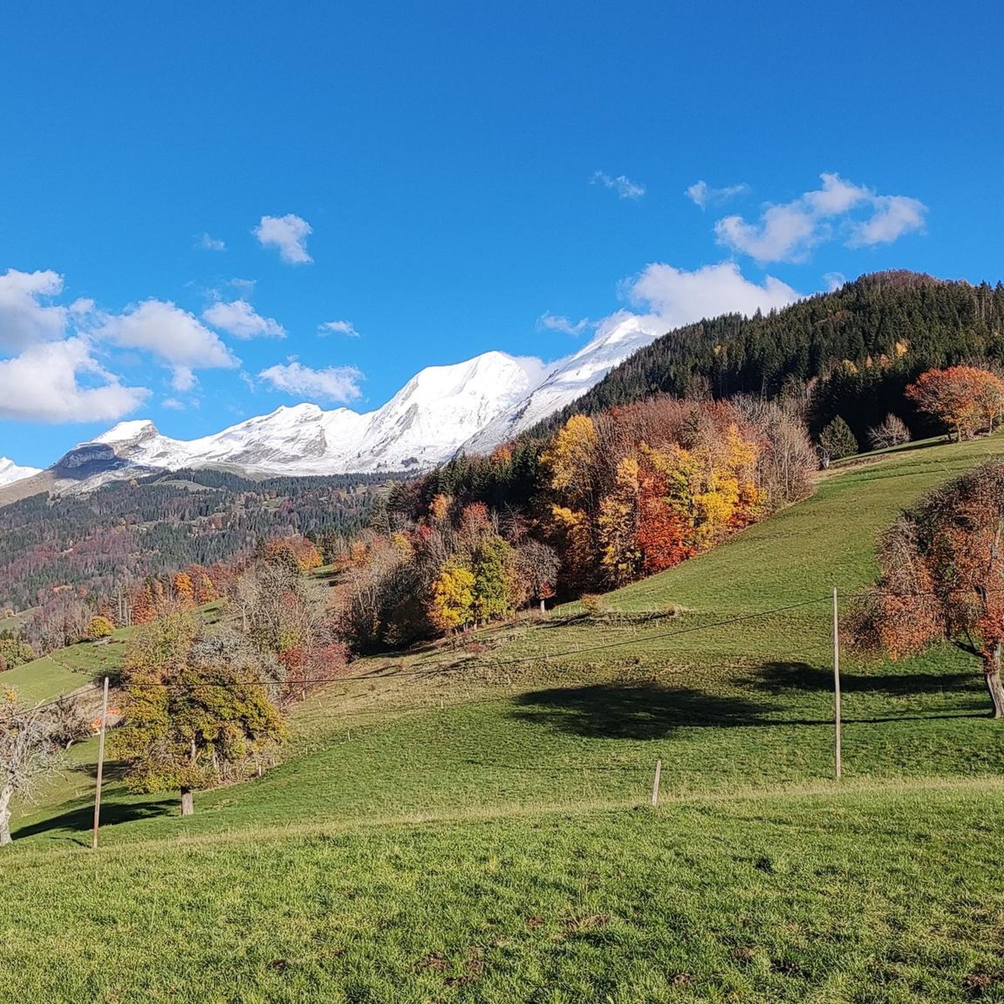
Mountaineering routes around Le Bouchet-Mont-Charvin are situated within the Aravis massif, characterized by the prominent Mont Charvin, which stands at 2,409 meters. The region features a landscape of high alpine terrain, including steep slopes, mountain passes, and alpine lakes such as Lac du Charvin. Extensive mountain pastures and diverse rock formations define the area, offering varied conditions for mountaineering.
Best mountaineering routes around Le Bouchet-Mont-Charvin
- The most popular mountaineering route is La Praz Shortcut – Mont Charvin loop from Le Bouchet-Mont-Charvin, a 6.6 miles (10.6 km) difficult trail that takes 5 hours 9 minutes to complete. This route involves significant elevation gain towards Mont Charvin.
- Another top favourite among local mountaineers is Plan Bois Pass loop from Manigod, a moderate 6.5 miles (10.5 km) path. This route traverses mountain passes, offering views of the surrounding Aravis peaks.
- Local mountaineers also love the Mont Charvin – Green and black ! loop from Mont Charvin, a 6.6 miles (10.6 km) trail leading through the challenging terrain around Mont Charvin, often completed in about 6 hours 22 minutes.
- Mountaineering around Le Bouchet-Mont-Charvin is defined by high alpine peaks, serene alpine lakes, and expansive mountain pastures. The network offers options for various ability levels, from moderate ascents to challenging high-altitude routes.
- The routes in Le Bouchet-Mont-Charvin are highly rated by the komoot community with an average score of 4.8 stars from over 60 reviews. More than 490 mountaineers have used komoot to explore Le Bouchet-Mont-Charvin's varied terrain.
Last updated: July 11, 2026
5.0
(2)
26
hikers
9.35km
04:04
580m
580m
Moderate mountaineering route. Good fitness required. Mostly accessible paths. Sure-footedness required.
4.5
(2)
18
hikers
10.6km
05:09
980m
980m
Hard mountaineering route. Very good fitness required. Mostly accessible paths. Sure-footedness required.

Sign up for free
5.0
(2)
18
hikers
10.5km
04:17
600m
600m
Moderate mountaineering route. Good fitness required. Mostly accessible paths. Sure-footedness required.
5.0
(3)
16
hikers
10.6km
06:22
960m
960m
Hard mountaineering route. Very good fitness required. Sure-footedness, sturdy shoes and alpine experience required.
11
hikers
10.6km
05:19
980m
980m
Hard mountaineering route. Very good fitness required. Sure-footedness, sturdy shoes and alpine experience required.
Get access to more routes and recommendations from other explorers.
Sign up for free
Already have an account?
Our route recommendations are based on thousands of hikes, rides, and runs completed by other people on komoot.
Start today with a free account
Your next adventure awaits.
Login or Signup
Popular around Le Bouchet-Mont-Charvin

Other adventures around Le Bouchet-Mont-Charvin

Tips from the Community

Nice small pass, decent but steady climb. Great views and a nice restaurant at the pass, Refuge Auberge du Col de l'Arpettaz
3
0

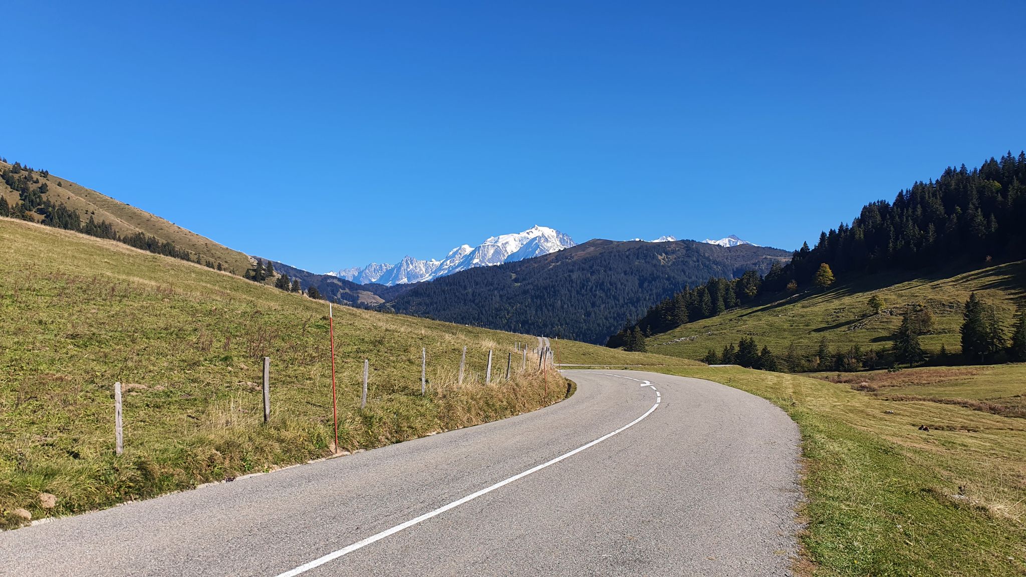
very rewarding trail, mostly on the open space and with lots of long distance views, including M.Blanc
0
0

Little-known and little-frequented pass, the climb is done alone and without a sound in the forest. The view is magnificent and on arrival, the refuge allows you to have a small drink (⚠️payment by species only). The road is in poor condition and it can be disturbing on the way down. If you have a Gravel and courage, the thirst route (Gravel/mountain bike path) allows you to reach the Col des Aravis and is magnificent. Enjoy your climb and for more advice, follow us on Komoot and Instagram @chouchou_team
1
0

This mountain pass is located at 1,581 meters in the Aravis massif. Located between Mont Charvin and Mont Blanc, it offers magnificent views. Several variations of ascent allow you to reach it by crossing spectacular landscapes.
1
1

Sublime place for a stopover or better, to sleep ⛺️
1
0

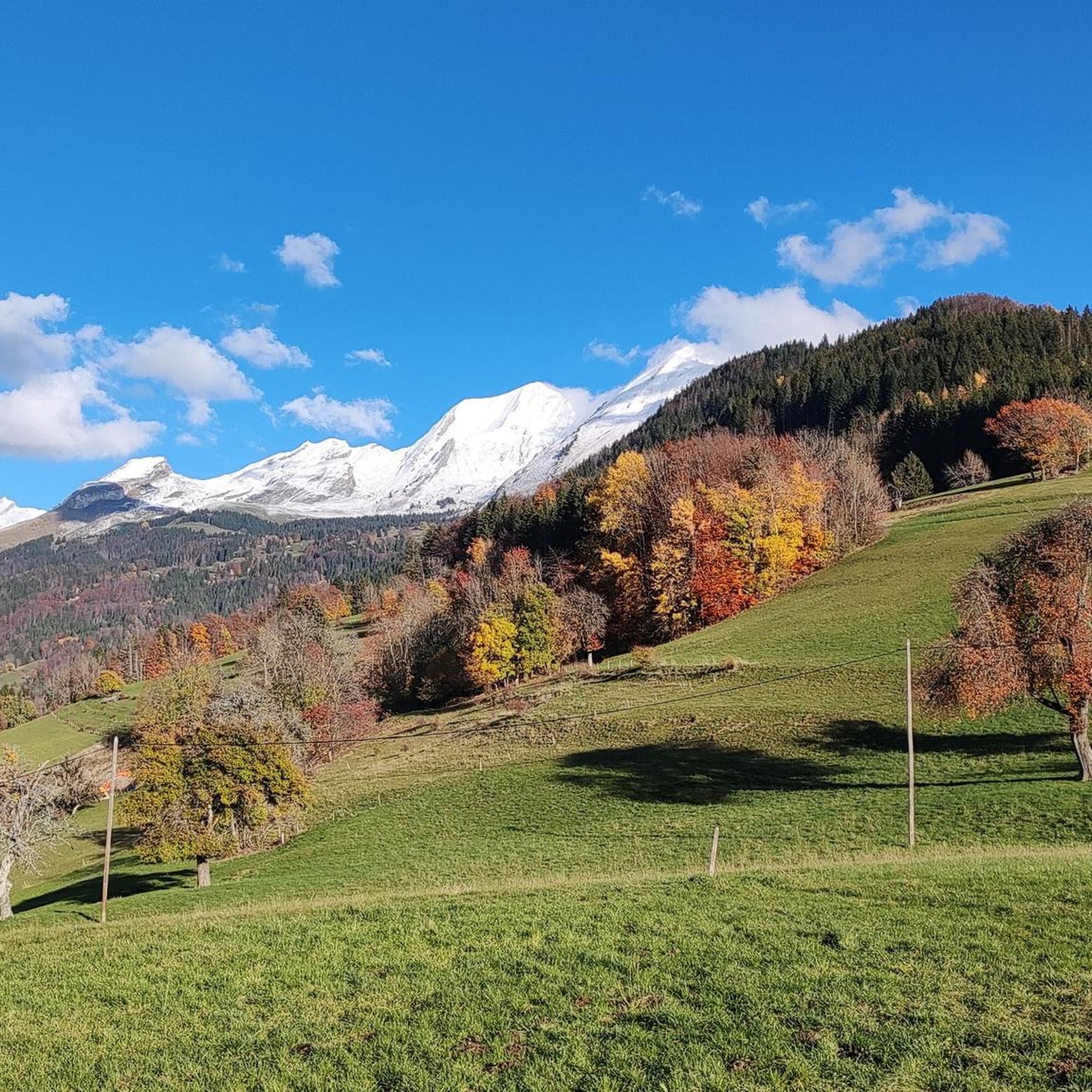
At the foot of Mont-Charvin, in the Aravis massif, is this refuge that has an exceptional view of the Mont-Blanc mountain range.
0
0
The Arpettaz Refuge at the foot of Mont-Charvin, is a mountain hut/restaurant on the outskirts of Savoie, Haute-Savoie, in the middle of mountain pastures at 1581 m. on the Col d'Arpettaz. From the refuge and the col there are exceptional views of the Mont-Blanc mountain range.
2
0

At the Plan Bois pass, the views are as unreally beautiful as the climb was difficult. We can say that this pass is worth it!
0
1
Frequently Asked Questions
How many mountaineering routes are available around Le Bouchet-Mont-Charvin?
There are over 35 mountaineering routes around Le Bouchet-Mont-Charvin, catering to various skill levels. You'll find options ranging from moderate ascents to challenging high-altitude routes.
What kind of natural features can I expect to see on mountaineering routes in this region?
The region is renowned for its exceptional natural environment. You can expect to encounter high alpine terrain, including steep slopes, mountain passes, and serene alpine lakes like Lac du Charvin. Extensive flowery mountain pastures, diverse rock formations, and panoramic views of the entire northern Alps, including the Mont-Blanc massif, are also characteristic of the area.
Are there any beginner-friendly mountaineering routes around Le Bouchet-Mont-Charvin?
While many routes are challenging, there is at least one easy mountaineering route available. The region also offers moderate walks through mountain pastures, which can be a good starting point before tackling more demanding ascents.
What are some challenging mountaineering routes in the area?
For experienced mountaineers, routes like the La Praz Shortcut – Mont Charvin loop from Le Bouchet-Mont-Charvin offer significant elevation gain towards Mont Charvin. Another demanding option is the Bear's Pass – Mont Charvin loop from Le Bouchet-Mont-Charvin, which also involves substantial ascent.
When is the best time of year to go mountaineering in Le Bouchet-Mont-Charvin?
Mountaineering itineraries are typically available from June to October, depending on snow conditions. During these months, the trails are generally clear, and the weather is more favorable for high-altitude activities. Winter offers opportunities for ski touring and snowshoeing, but requires careful attention to snow conditions and proper equipment.
What wildlife might I encounter on the trails?
The preserved natural environment of Le Bouchet-Mont-Charvin is home to diverse fauna. Along the trails, you might be lucky enough to spot marmots and chamois, adding to the wild appeal of your mountaineering experience.
Are there any circular mountaineering routes available?
Yes, many routes in the area are circular. For example, the Plan Bois Pass loop from Manigod is a moderate circular path traversing mountain passes. Another option is the Mont Charvin – Green and black ! loop from Mont Charvin, which leads through challenging terrain.
What do other mountaineers say about the routes in Le Bouchet-Mont-Charvin?
The routes in Le Bouchet-Mont-Charvin are highly rated by the komoot community, with an average score of 4.8 stars from over 60 reviews. Mountaineers often praise the challenging terrain, the stunning panoramic views, and the diverse natural environment.
Are there any notable viewpoints or landmarks to look out for?
Absolutely. Mont Charvin itself offers an exceptional 360° panorama. Other viewpoints include the Col de la Forclaz, which provides superb plunging views of Lake Annecy, and the Col des Aravis. You can also find peaks like Pointe de la Rochette and La Belle-Étoile offering great vistas.
Are there family-friendly hiking options in Le Bouchet-Mont-Charvin?
While many mountaineering routes are demanding, the region does offer a multitude of hiking trails catering to various fitness levels. You can find moderate walks through the picturesque mountain pastures that are suitable for families looking for a less strenuous experience.
Are there places to eat or stay near the trails?
The village of Le Bouchet-Mont-Charvin retains an authentic charm and offers accommodations in a village hotel, refuges, or bivouacs. You can also interact with mountain farmers and sample local products at places like GAEC Vent des Cimes on the Aulp de Marlens mountain pasture and the Fontanettes Inn.
Can I bring my dog on the mountaineering routes?
While the region is very natural, specific regulations regarding dogs on mountaineering trails can vary. It's always best to check local signage at trailheads or consult with the local tourist office for the most current rules on bringing dogs, especially in protected areas or near grazing livestock.
Is public transport available to reach the trailheads?
Information on specific public transport links directly to all trailheads is not readily available. Access to many mountaineering starting points in the Aravis massif often requires a car. It's advisable to check local bus schedules or consider carpooling options if you plan to rely on public transport.
Most popular routes around Le Bouchet-Mont-Charvin
Most popular attractions around Le Bouchet-Mont-Charvin

Get inspired with the komoot mobile app


Explore more
Browse the best Mountain Hikes & Routes in other regions.
