The best walks and hikes around Les Ollières
4.5
(2677)
36,109
hikers
409
hikes
Hiking around Les Ollières provides access to varied landscapes within the French Alps. The area features forested slopes, river valleys, and significant peaks, including the Tête du Parmelan. Numerous waterfalls are present, contributing to the region's natural appeal. The terrain offers a range of elevations suitable for different hiking abilities.
Best hiking trails around Les Ollières
- The most popular hiking route is Nantisses Waterfall – Dard Waterfall loop from Villaz, a 2.4 miles (3.8 km) trail that takes about…
Last updated: July 1, 2026
4.8
(20)
378
hikers
4.33km
01:26
210m
210m
Moderate hike. Great for any fitness level. Mostly accessible paths. Sure-footedness required.
5.0
(1)
44
hikers
6.63km
02:00
220m
220m
Moderate hike. Good fitness required. Easily-accessible paths. Suitable for all skill levels.

Sign up for free
4.6
(5)
30
hikers
5.79km
02:17
340m
340m
Moderate hike. Good fitness required. Mostly accessible paths. Sure-footedness required.
4.0
(2)
16
hikers
5.09km
01:29
120m
120m
Easy hike. Great for any fitness level. Easily-accessible paths. Suitable for all skill levels.
3.0
(1)
20
hikers
8.11km
02:58
450m
450m
Moderate hike. Good fitness required. Mostly accessible paths. Sure-footedness required.
Get access to more routes and recommendations from other explorers.
Sign up for free
Already have an account?
Our route recommendations are based on thousands of hikes, rides, and runs completed by other people on komoot.
Start today with a free account
Your next adventure awaits.
Login or Signup

Tips from the Community

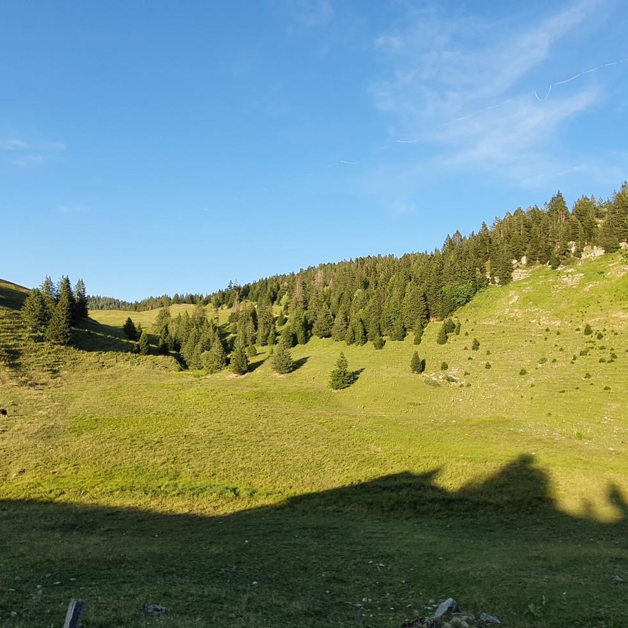
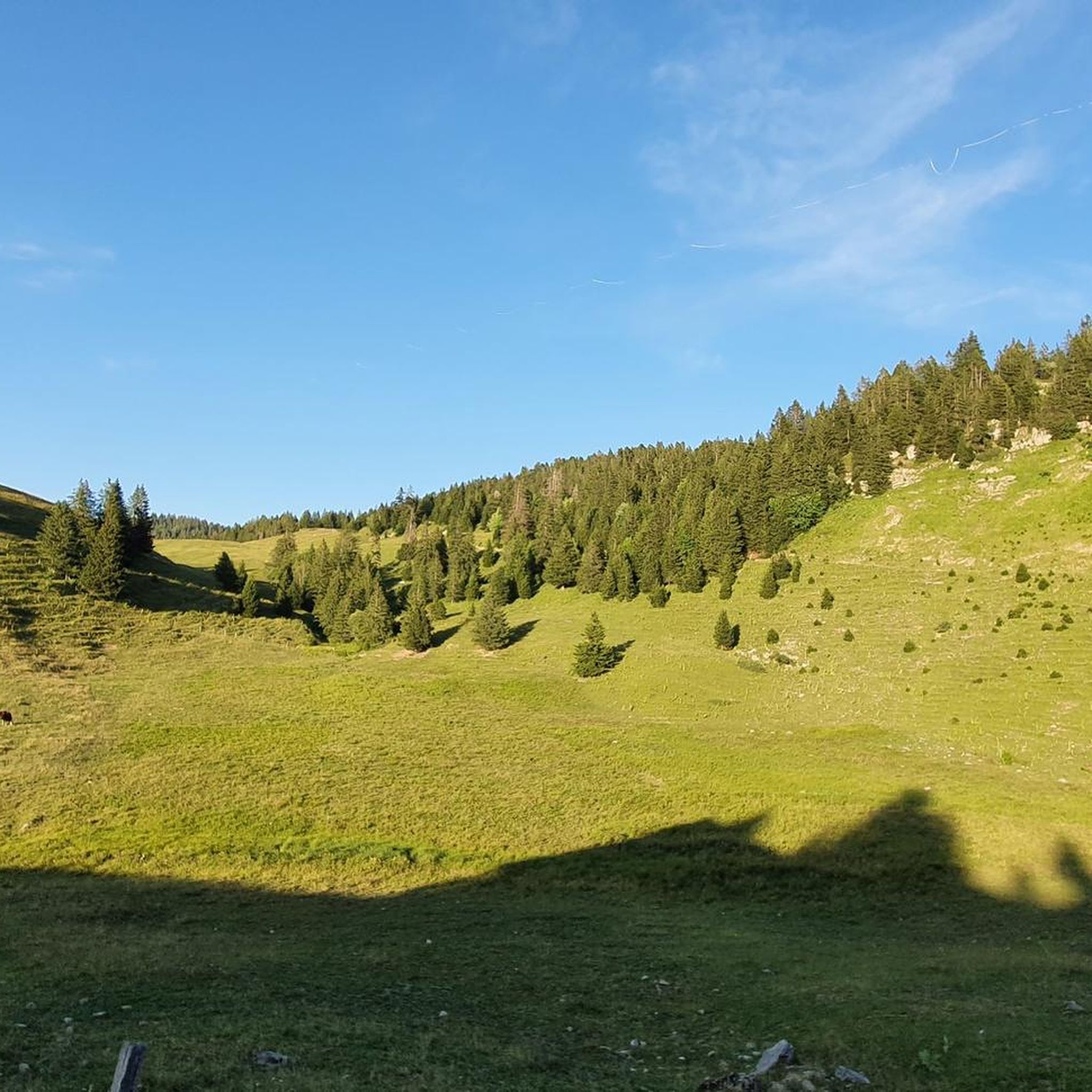
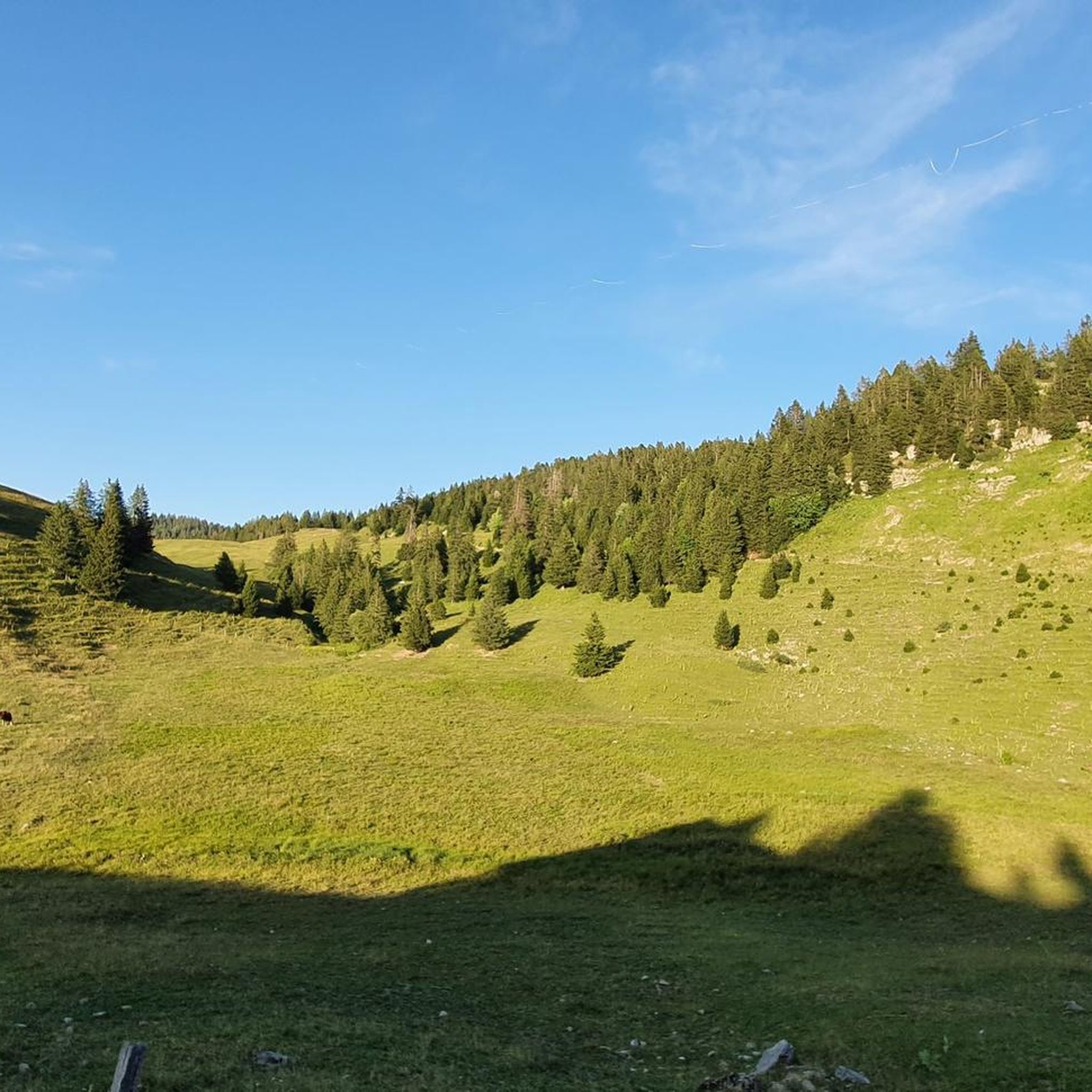
This parking lot is perfect for starting a hike to the Tête du Parmelan, located 700 meters higher at 1,804 meters above sea level.
0
0

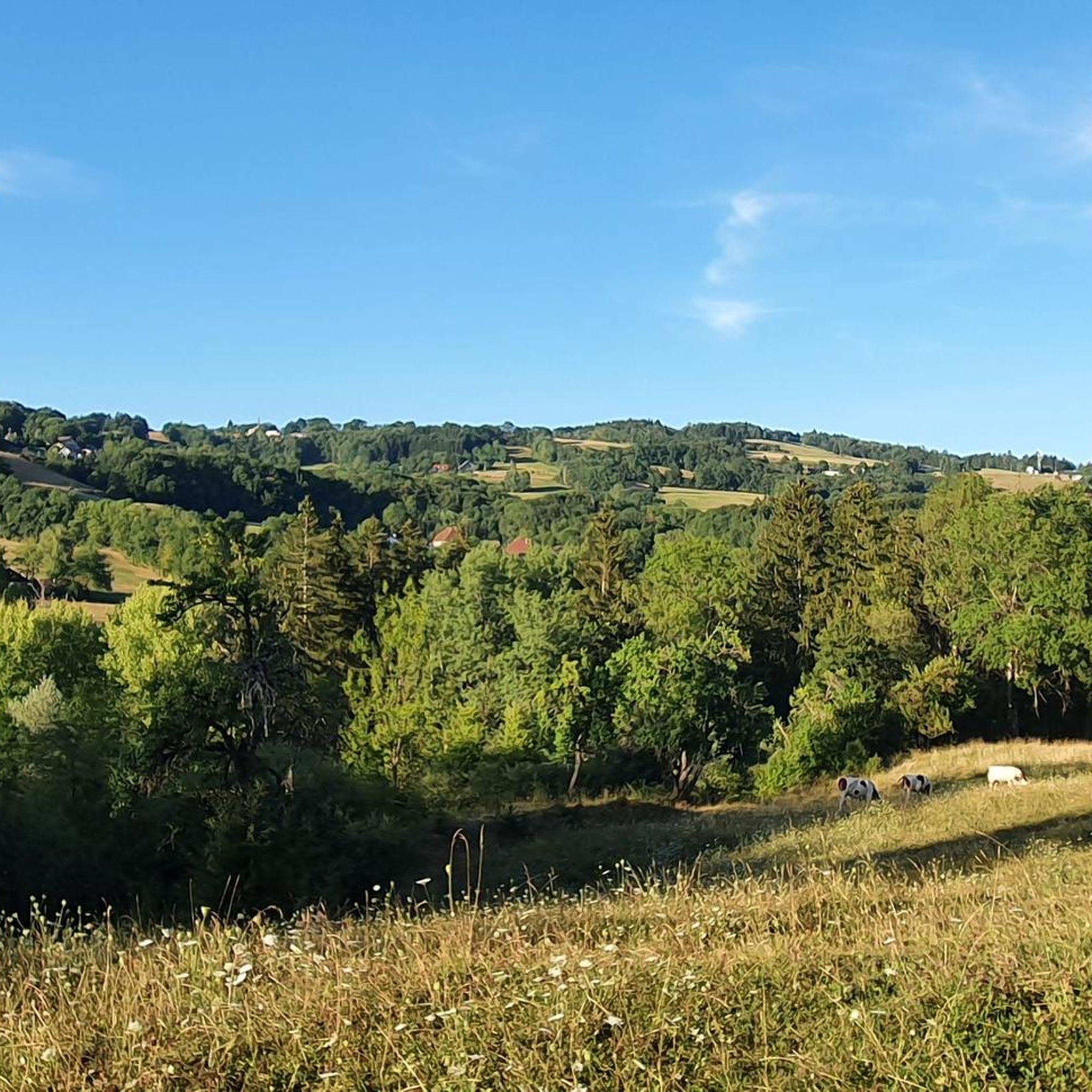
This superb section overlooks the valley while offering beautiful views of the Parmelan plateau. This less traveled route allows you to enjoy superb views of the surrounding landscapes.
1
0

The Col de la Frétallaz from Argonay is 4.2 km long with a total drop of 213 m. The average gradient is 6% with maximum gradients of 9.5%.
2
0

A beautiful waterfall, easy walk and very popular with children.
0
0

One of the smallest passes in Haute-Savoie for which you have to cope with a height difference of only up to 180m.
0
1

Frequently Asked Questions
What types of hiking trails can I find around Les Ollières?
The region around Les Ollières offers a diverse range of hiking trails, from forested slopes and river valleys to significant mountain peaks like the Tête du Parmelan. You'll find options suitable for various abilities, including easy walks and more challenging ascents, often featuring numerous waterfalls and panoramic views.
Are there easy hiking trails suitable for beginners or families in Les Ollières?
Yes, Les Ollières has a good selection of easy trails. Out of over 350 routes, 113 are classified as easy. A great option for families or beginners is the Nantisses Waterfall – Dard Waterfall loop from Villaz, which is 2.4 miles (3.8 km) long and features two distinct waterfalls.
How long do hikes typically take around Les Ollières?
Hiking durations vary significantly depending on the trail's length and difficulty. Easy routes, like the Nantisses Waterfall – Dard Waterfall loop, can be completed in about 1 hour 15 minutes. More challenging mountain hikes, such as the Parmelan Mountain Hut – Tête du Parmelan loop, can take around 4 hours 30 minutes or more.
Are there any circular hiking routes in the Les Ollières area?
Yes, the network of trails around Les Ollières includes many excellent loop hikes. The View of the Farm – Chalet Chappuis loop from Crêt Châtillon is a popular, albeit difficult, 3.7-mile (5.9 km) circular path offering panoramic views and passing traditional chalets.
What are the best times of year to go hiking in Les Ollières?
The best time for hiking in Les Ollières is generally from late spring through early autumn (May to October), when the weather is mild and trails are clear of snow. Summer offers lush landscapes, while autumn brings beautiful foliage. Some lower elevation trails may be accessible in winter, but higher mountain routes can be challenging due to snow and ice.
Are there any waterfalls to see on hikes near Les Ollières?
Yes, the region is known for its numerous waterfalls. The Nantisses Waterfall – Dard Waterfall loop from Villaz is a prime example, specifically designed to showcase two distinct waterfalls along an easy route.
What can I see along the hiking trails around Les Ollières?
Beyond the natural beauty of forests and mountains, you can discover various points of interest. Hikers often enjoy viewpoints like the Pas du Roc viewpoint or the Belvédère de la Grande Jeanne. The area also features natural monuments such as the Sillingy Fault Mirror.
Are there any challenging hikes for experienced hikers in Les Ollières?
Absolutely. For experienced hikers, there are 59 difficult routes available. The Tête du Parmelan – Parmelan Mountain Hut loop from Crêt Châtillon is a demanding 8-mile (12.8 km) trail that ascends to the prominent Tête du Parmelan, offering significant elevation gain and rewarding views.
What do other hikers say about the trails in Les Ollières?
The trails in Les Ollières are highly regarded by the komoot community, with an average rating of 4.5 stars from over 2,500 reviews. Hikers frequently praise the varied terrain, from peaceful forested paths to challenging mountain ascents, and the abundance of natural features like waterfalls and panoramic viewpoints.
Are dogs allowed on the hiking trails in Les Ollières?
Generally, dogs are welcome on most hiking trails in the French Alps, including around Les Ollières. However, it's always recommended to keep them on a leash, especially in nature reserves, near livestock, or in areas with wildlife. Always carry water for your dog and clean up after them.
Are there any lakes or swimming spots near the hiking routes?
While Les Ollières itself is inland, the famous Lake Annecy is relatively close and offers opportunities for swimming and other water activities. Highlights around the lake include Albigny Beach and various cycle paths with stunning views of the lake.
How many hiking trails are available in total around Les Ollières?
There are over 350 hiking routes recorded around Les Ollières on komoot, offering a wide variety of distances, difficulties, and scenic experiences for every type of hiker.
Most popular routes around Les Ollières
Most popular attractions around Les Ollières

Get inspired with the komoot mobile app


Explore more
Browse the best Hikes in other regions.
