The best road cycling routes around Saint-Martin-Bellevue
4.6
(1656)
62,541
riders
360
rides
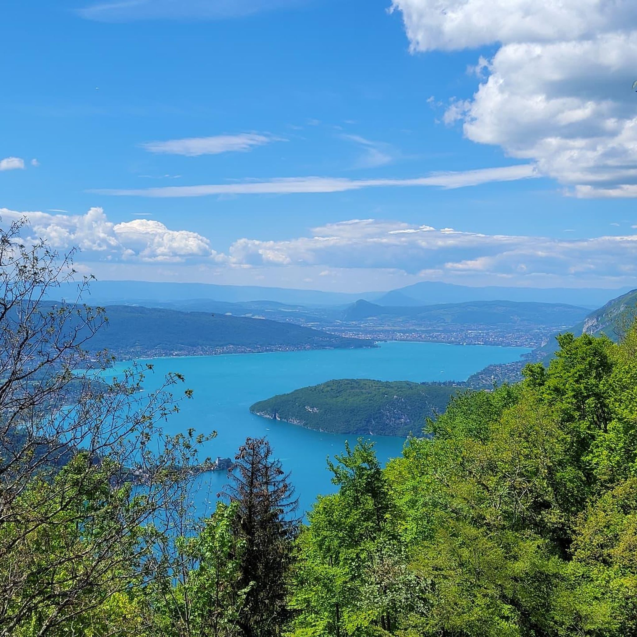
Road cycling around Saint-Martin-Bellevue features a varied terrain characterized by rolling hills, scenic valleys, and views of distant mountain peaks. The region's topography includes moderate ascents and descents, providing diverse challenges for road cyclists. Routes often traverse agricultural lands and connect small villages, offering a mix of open roads and more sheltered sections. The area is situated near larger geographical features like Lake Annecy, influencing some route profiles.
Best road cycling routes around Saint-Martin-Bellevue
- The most popular road cycling route…
Last updated: July 5, 2026
4.3
(3)
93
riders
Hard road ride. Very good fitness required. Mostly well-paved surfaces and easy to ride.
4.5
(2)
62
riders
56.6km
02:51
940m
940m
Hard road ride. Very good fitness required. Mostly well-paved surfaces and easy to ride.

Sign up for free
4.5
(2)
51
riders
35.0km
01:42
500m
510m
Moderate road ride. Good fitness required. Mostly well-paved surfaces and easy to ride.
4.3
(3)
60
riders
23.0km
01:13
420m
420m
Moderate road ride. Good fitness required. Mostly well-paved surfaces and easy to ride.
4.8
(4)
28
riders
31.8km
01:31
430m
430m
Moderate road ride. Good fitness required. Mostly well-paved surfaces and easy to ride.
Get access to more routes and recommendations from other explorers.
Sign up for free
Already have an account?
Our route recommendations are based on thousands of hikes, rides, and runs completed by other people on komoot.
Start today with a free account
Your next adventure awaits.
Login or Signup
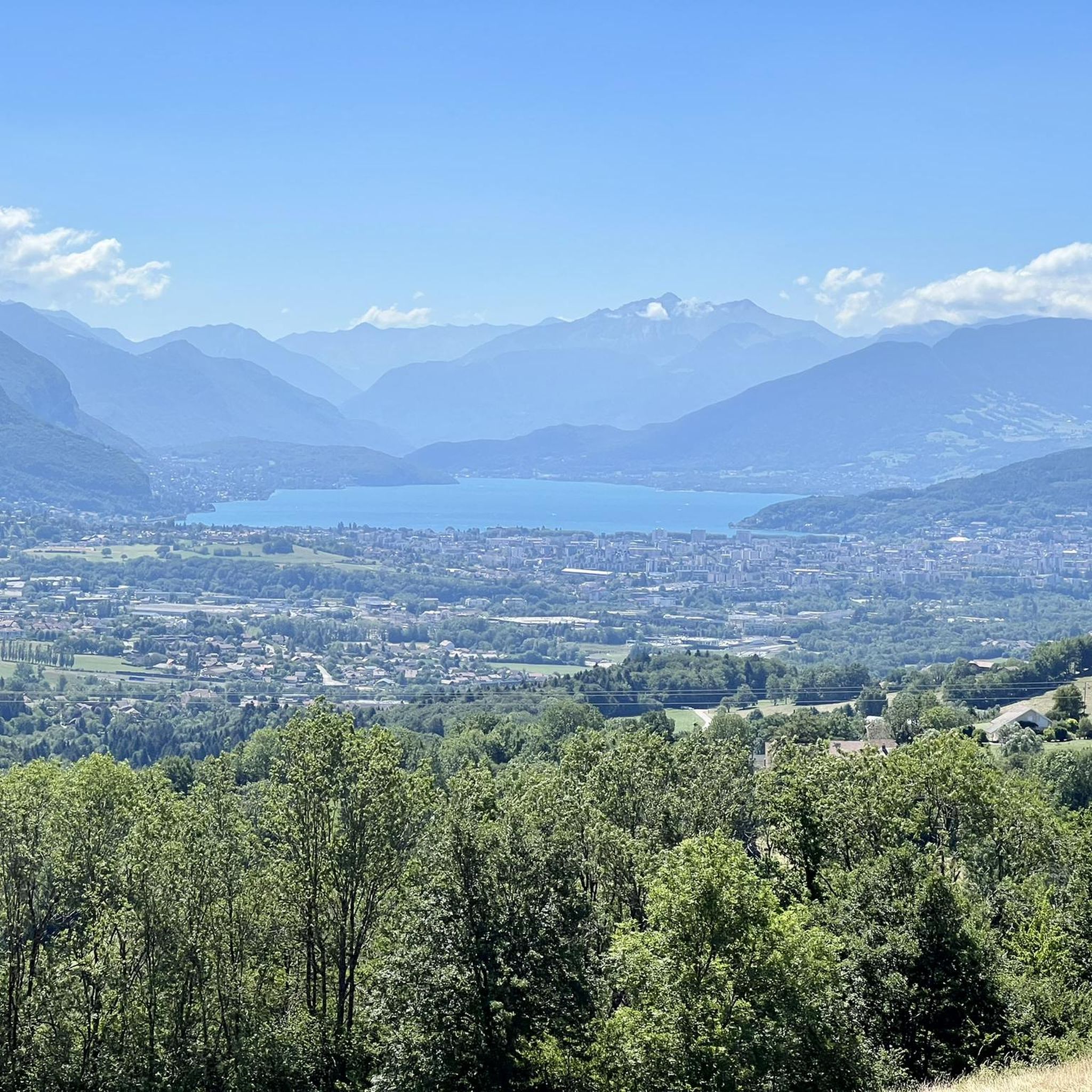
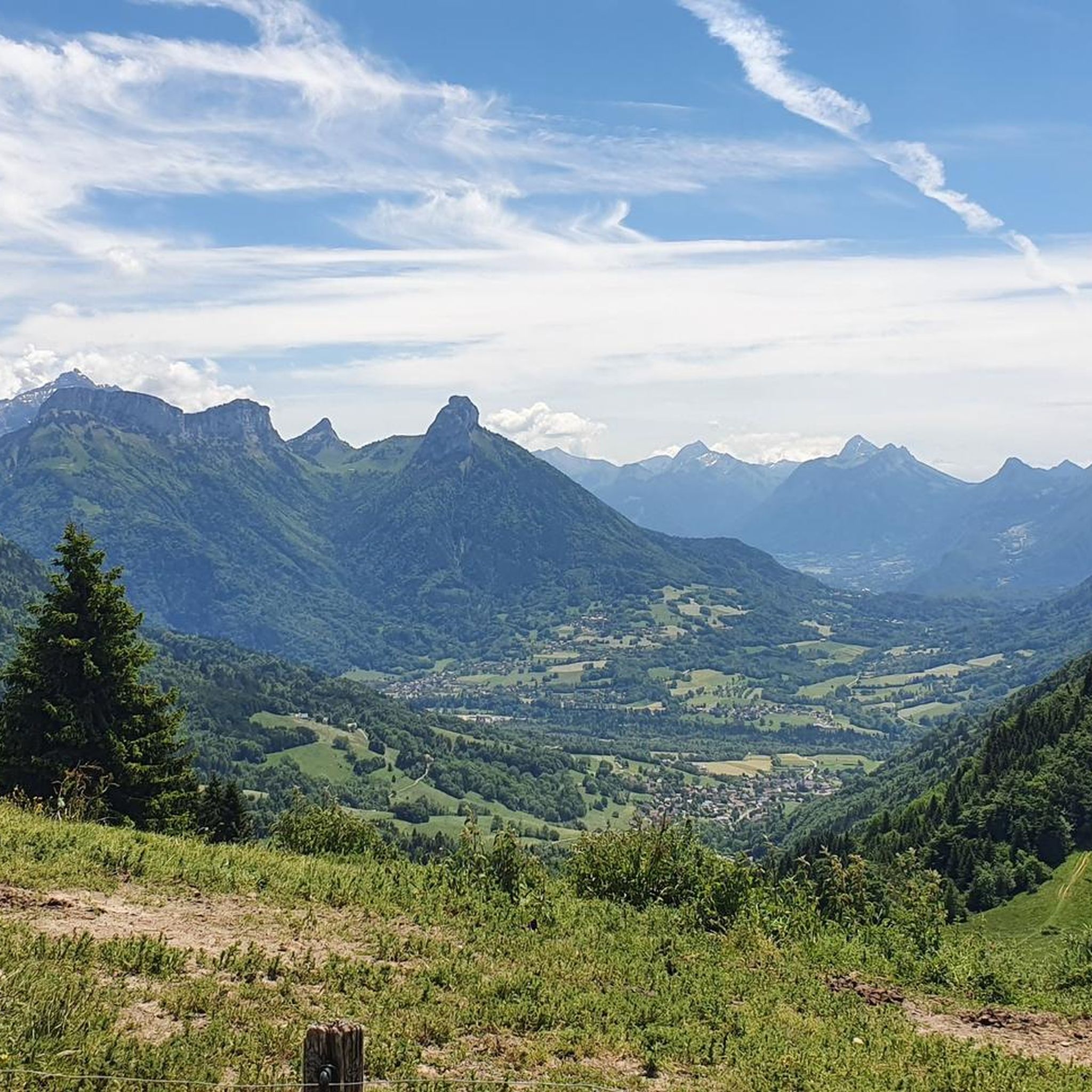

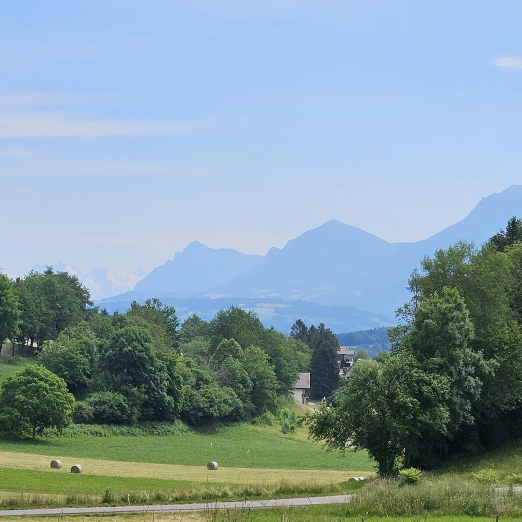
Tips from the Community

On the way to the Col and Plateau des Glières ... Grocery store, pharmacy, tobacco shop, butcher, cheese shop, restaurants, etc. Water in front of the town hall Bike repair point behind the town hall
0
0

A beautiful route between Yvoire and Annecy mostly via cycle paths and country roads.
0
0

Caution: 2 dogs on the trail near the houses
0
0

Magnificent fresco in homage to the resistance fighters of the Glières plateau.
0
0

This lake is divided into a large lake and a small canal. Trout fishing is practiced here, as well as carp fishing. Special permits are available in several shops and bars in town. Main fish: rainbow trout, carp, roach, bream, catfish, pike, perch, etc. Depth: generally 1.5m to 2m, but near the dike, it can be between 4 and 5m.
1
0
Intersection point les Dronières (Parking) Altitude 790m
1
0
Intersection point Les Dronières Altitude 790m
1
0

Magnificent castle for lovers of stone heritage
0
0
Frequently Asked Questions
What kind of terrain can I expect when road cycling near Saint-Martin-Bellevue?
The region offers a varied terrain with rolling hills, scenic valleys, and views of distant mountain peaks. You'll encounter moderate ascents and descents, traversing agricultural lands and connecting small villages. The proximity to Lake Annecy also influences some route profiles, adding picturesque lakeside sections.
How many road cycling routes are available around Saint-Martin-Bellevue?
There are over 360 road cycling routes available around Saint-Martin-Bellevue, catering to various skill levels from easy to difficult. This includes 44 easy routes, 153 moderate routes, and 167 difficult routes.
Are there challenging road cycling routes with significant climbs in the area?
Yes, Saint-Martin-Bellevue offers several challenging routes with significant elevation gain. For instance, the View of the Mountain Peaks – Col des Fleuries loop from Allonzier-la-Caille is a difficult 33.0-mile route with over 950 meters of elevation gain, offering panoramic mountain views. Another option is the View of the Mountain Peaks – Col des Fleuries loop from Charvonnex, a similar difficult path with challenging climbs and expansive vistas.
Are there any family-friendly or easier road cycling routes around Saint-Martin-Bellevue?
Yes, the area provides 44 easy road cycling routes suitable for families or those looking for a more relaxed ride. While specific family-friendly routes aren't detailed, these easier options typically feature less elevation and shorter distances, allowing for a pleasant experience for all skill levels.
What do other road cyclists enjoy most about road cycling in Saint-Martin-Bellevue?
The area is highly rated by the komoot community, with an average score of 4.6 stars from over 1500 reviews. Cyclists often praise the diverse terrain, the blend of open roads and sheltered sections, and the picturesque views of distant mountain peaks and nearby Lake Annecy.
Can I find circular road cycling routes in Saint-Martin-Bellevue?
Many of the routes around Saint-Martin-Bellevue are designed as loops, allowing you to start and finish in the same location. An example is the Lake Dronières – Caille Bridge loop from Saint-Martin-Bellevue, a moderate 21.7-mile trail that takes you through varied terrain including lakeside sections.
Are there scenic viewpoints or natural attractions along the road cycling routes?
Absolutely. Many routes offer stunning views, particularly of Lake Annecy and the surrounding peaks. You might encounter highlights such as the View of Lake Annecy from Mont Veyrier or the View of Lake Annecy from Mont Baron. The region also features the Tête du Parmelan and the Ascent of Semnoz from Annecy for those seeking mountain vistas.
Are there routes that offer views of Lake Annecy?
Yes, several routes provide beautiful views of Lake Annecy. The View of Annecy and the Lake – Maison Forte de Rossy loop from Pringy is a moderate 14.3-mile route that offers scenic perspectives of the lake. You can also find dedicated cycle paths like the Greenway along the shore of Lake Annecy or the Cycle path with the best views of Lake Annecy.
What is the best season for road biking around Saint-Martin-Bellevue?
While not explicitly stated in the guide, the varied terrain and proximity to mountains suggest that late spring, summer, and early autumn generally offer the most favorable conditions for road cycling in the region, with milder temperatures and less chance of snow on higher passes. Always check local weather forecasts before heading out.
Are there any moderate-difficulty routes for road cyclists looking for a balanced challenge?
Yes, Saint-Martin-Bellevue has 153 moderate-difficulty routes. The Frétallaz Pass – Groisy Church loop from Saint-Martin-Bellevue is a good example, covering 19.4 miles with over 430 meters of elevation gain, offering a balanced ride without extreme challenges.
Are there any historical or cultural landmarks to see along the routes?
While the guide focuses on natural beauty, routes often connect small villages, which may feature local churches or historical buildings. For example, the View of Annecy and the Lake – Maison Forte de Rossy loop from Pringy passes by the Maison Forte de Rossy, offering a glimpse into local heritage.
Most popular routes around Saint-Martin-Bellevue
Most popular attractions around Saint-Martin-Bellevue

Get inspired with the komoot mobile app


Explore more
Browse the best Road cycling routes in other regions.
