The best mountain hikes around Arrentès-De-Corcieux
4.7
(13)
29
hikers
9
hikes
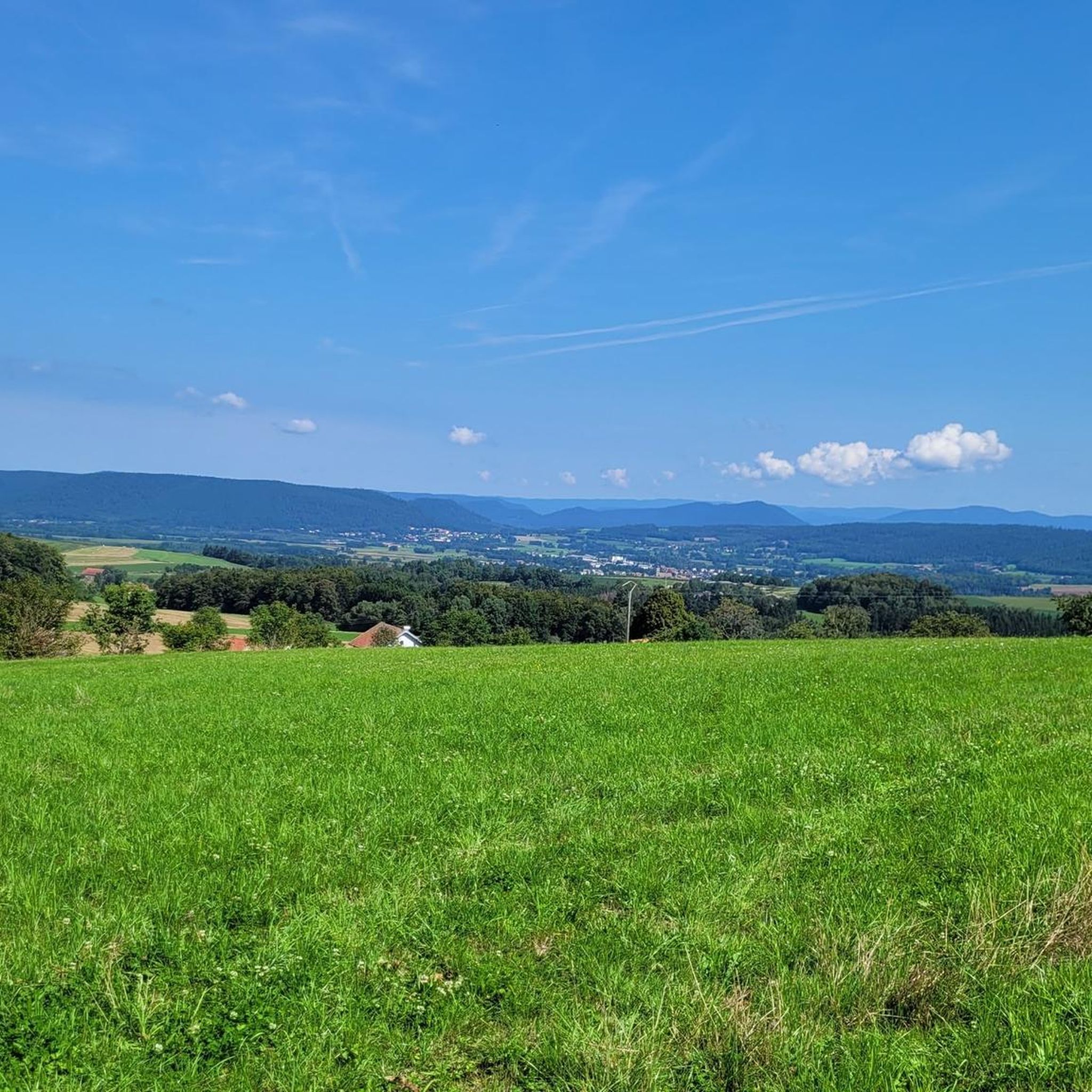
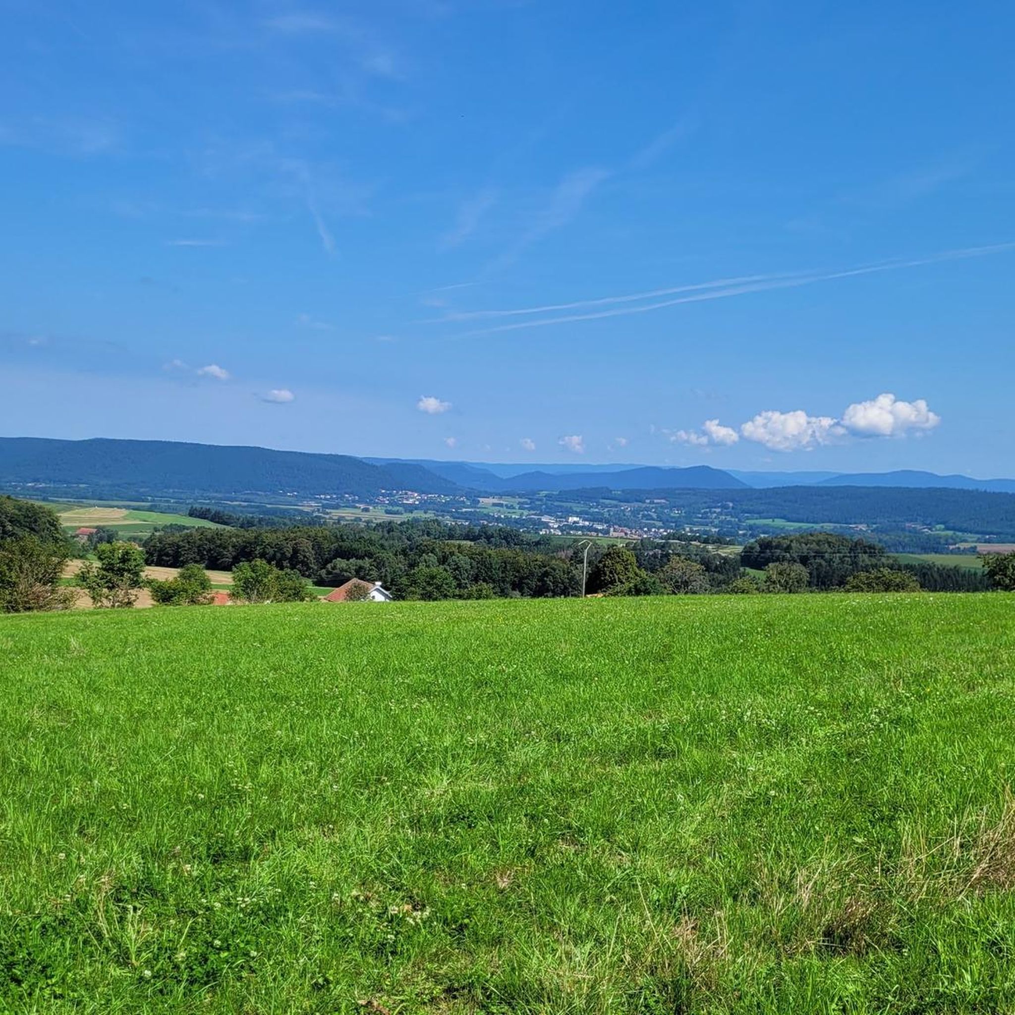
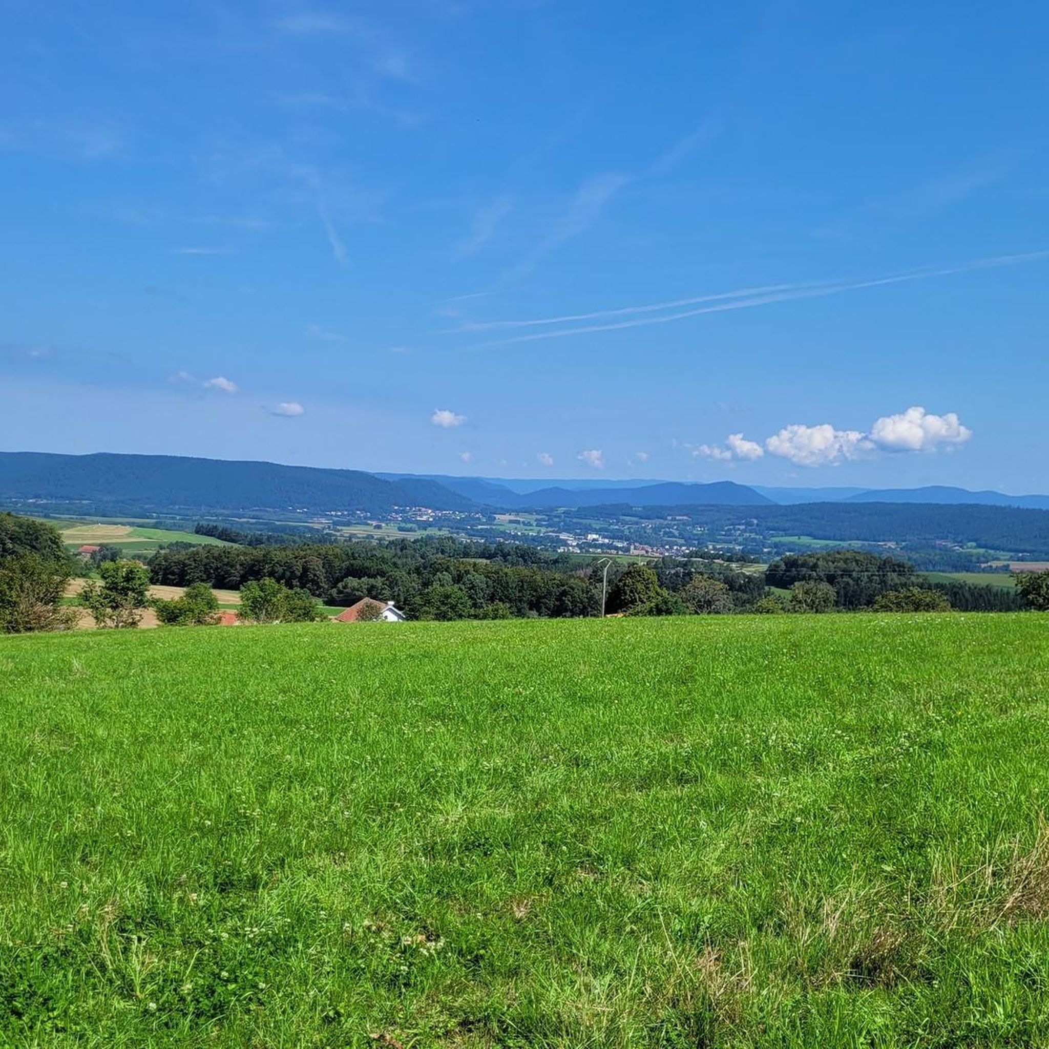
Mountaineering routes around Arrentès-De-Corcieux traverse the varied terrain of the Vosges mountains in France's Grand-Est region. The landscape features dense forests, picturesque valleys, and several notable lakes, including Lac de Gérardmer and Lac de Longemer. Geological formations like the Champ de Roches, with its immense granite blocks, add to the region's unique character. Elevation changes are common, with routes often leading to panoramic viewpoints over the surrounding natural features.
Best mountaineering routes around Arrentès-De-Corcieux
- The most popular mountaineering route is…
Last updated: July 4, 2026
5.0
(3)
10
hikers
4.83km
01:48
230m
230m
Hard mountaineering route. Great for any fitness level. Sure-footedness, sturdy shoes and alpine experience required.
4.0
(2)
7
hikers
13.6km
04:06
300m
300m
Hard mountaineering route. Good fitness required. Sure-footedness, sturdy shoes and alpine experience required.

Sign up for free
5.0
(3)
3
hikers
4.65km
01:48
230m
230m
Hard mountaineering route. Great for any fitness level. Sure-footedness, sturdy shoes and alpine experience required.
5.0
(2)
2
hikers
4.12km
01:41
230m
240m
Hard mountaineering route. Great for any fitness level. Sure-footedness, sturdy shoes and alpine experience required.
2
hikers
5.02km
01:19
40m
40m
Easy mountaineering route. Great for any fitness level. Easily-accessible paths. Suitable for all skill levels.
Get access to more routes and recommendations from other explorers.
Sign up for free
Already have an account?
Our route recommendations are based on thousands of hikes, rides, and runs completed by other people on komoot.
Start today with a free account
Your next adventure awaits.
Login or Signup

Tips from the Community


This is and has been one of the most beautiful hikes in decades – a mystical (fairy) forest with a picturesque gorge through which a clear stream meanders, burbling and gurgling! Truly, simply beautiful – nature that captivates, fascinates, and casts its spell...!!! Again and again...
1
0

⚠️ There is only one major road (currently closed for construction for part of the length in June 2025), with no sidewalks or protected pedestrian areas. Currently not a problem due to the closure, but would not recommend this route to runners if the road were to reopen.
0
0

There are countless stone figures at this spot. Perhaps you'd like to expand your collection 😉
1
0

If you are looking for refreshment, you have come to the right place.
3
0

A wonderful rocky path right on the lakeshore. Simply beautiful.
4
0
An idyllic nature reserve with moorland and a small pond.
5
0
A beautiful wooden tower with a narrow spiral staircase, it can accommodate a maximum of four people at a time. During the week and in bad weather, you won't have to wait long.
6
0
Frequently Asked Questions
How many mountaineering routes are available around Arrentès-De-Corcieux?
There are over 10 distinct mountaineering routes around Arrentès-De-Corcieux, offering a variety of experiences through the Vosges mountains. These include paths ranging from moderate to difficult.
What types of terrain can I expect on mountaineering routes in this region?
The terrain around Arrentès-De-Corcieux is characterized by dense forests, picturesque valleys, and unique geological formations. You'll encounter paths leading through woodlands, alongside scenic lakes like Lac de Gérardmer and Lac de Longemer, and past impressive granite blocks at sites like the Champ de Roches. Elevation changes are common, often leading to panoramic viewpoints.
Are there any waterfalls to discover along the mountaineering routes?
Yes, the region is home to several beautiful waterfalls. You can explore routes that pass by the Mérelle Waterfall or the Donkey's Leap. The Iron spring – Mérelle Waterfall loop from Gérardmer is a great option to see the Mérelle Waterfall.
Are there any easy or family-friendly mountaineering routes?
While many routes are rated difficult, there are a couple of moderate options available. For example, the Towards Lake Gérardmer – Waterfall Near Gérardmer loop from Gérardmer is a moderate 8.6 km path that could be suitable for families looking for a less strenuous experience.
What do other mountaineers say about the routes in Arrentès-De-Corcieux?
The mountaineering routes in Arrentès-De-Corcieux are highly rated by the komoot community, with an average score of 4.8 stars from over 15 reviews. Users often praise the varied terrain, scenic lake views, and the opportunity to explore unique natural landmarks.
Can I find circular mountaineering routes in the area?
Yes, many of the routes are designed as loops, allowing you to start and end at the same point. Examples include the Donkey's Leap – Merelle Observatory loop from Gérardmer and the Towards Lake Gérardmer loop from Gérardmer.
Are there any specific viewpoints or natural landmarks to look out for?
Absolutely. Beyond the lakes and waterfalls, you can seek out the unique geological formation of the Champ de Roches, with its immense granite blocks. For panoramic views, consider routes that lead to the Roche des Vieux Chevaux or the Tête de Mérelle, offering splendid vistas over Lac de Longemer and Lac de Gérardmer, respectively.
Is it possible to combine mountaineering with swimming in the region?
Yes, the proximity to several stunning lakes, often called the 'pearls of the Vosges,' makes this possible. Lac de Gérardmer and Lac de Longemer both offer swimming spots ideal for cooling off after a hike, especially during warmer months.
What is the best time of year for mountaineering in Arrentès-De-Corcieux?
The spring, summer, and autumn months generally offer the best conditions for mountaineering, with pleasant temperatures and vibrant natural scenery. In winter, the area transforms, offering opportunities for snowshoeing, but routes may require specific winter gear and conditions knowledge.
Are there challenging routes for experienced mountaineers?
Yes, the region offers several difficult routes for those seeking a challenge. For instance, the Donkey's Leap – Merelle Observatory loop from Gérardmer is a difficult 13.7 km path with significant elevation changes, providing expansive views from the Merelle Observatory.
Are the mountaineering routes dog-friendly?
Many trails in the Vosges mountains are generally dog-friendly, but it's always advisable to check specific route regulations or local signage regarding dogs, especially in protected natural areas. Keep your dog on a leash and ensure they are comfortable with varied terrain and distances.
What are the parking options for trailheads?
Parking is generally available near popular trailheads, especially around the larger lakes like Gérardmer. Specific parking information can often be found on individual route descriptions or local tourism websites. It's recommended to arrive early during peak season to secure a spot.
Most popular routes around Arrentès-De-Corcieux
Most popular attractions around Arrentès-De-Corcieux

Get inspired with the komoot mobile app


Explore more
Browse the best Mountain Hikes & Routes in other regions.
