The best mountain hikes around Poisat
5.0
(8)
68
hikers
7
hikes
Mountaineering routes around Poisat are situated amidst the dramatic landscapes of the Dauphiné Alps, Chartreuse Massif, and Vercors Massif. This region features diverse terrain, including high peaks, limestone cliffs, and extensive forests. The area offers a variety of challenging ascents and scenic ridge traverses, characteristic of the French Prealps.
Best mountaineering routes around Poisat
- The most popular mountaineering route is Le Néron loop from Saint-Martin-le-Vinoux, a 7.8 miles (12.5 km) trail that takes about 7 hours 2 minutes to…
Last updated: July 1, 2026
5.0
(1)
15
hikers
12.5km
07:01
1,020m
1,020m
Hard mountaineering route. Very good fitness required. Sure-footedness, sturdy shoes and alpine experience required.
5.0
(2)
9
hikers
17.8km
08:00
1,120m
1,120m
Hard mountaineering route. Very good fitness required. Mostly accessible paths. Sure-footedness required.

Sign up for free
5.0
(2)
8
hikers
12.1km
05:21
800m
800m
Hard mountaineering route. Very good fitness required. Sure-footedness, sturdy shoes and alpine experience required.
7
hikers
8.05km
05:47
840m
840m
Hard mountaineering route. Very good fitness required. Sure-footedness, sturdy shoes and alpine experience required.
8
hikers
15.9km
06:06
870m
870m
Hard mountaineering route. Very good fitness required. Sure-footedness, sturdy shoes and alpine experience required.
Get access to more routes and recommendations from other explorers.
Sign up for free
Already have an account?
Our route recommendations are based on thousands of hikes, rides, and runs completed by other people on komoot.
Start today with a free account
Your next adventure awaits.
Login or Signup
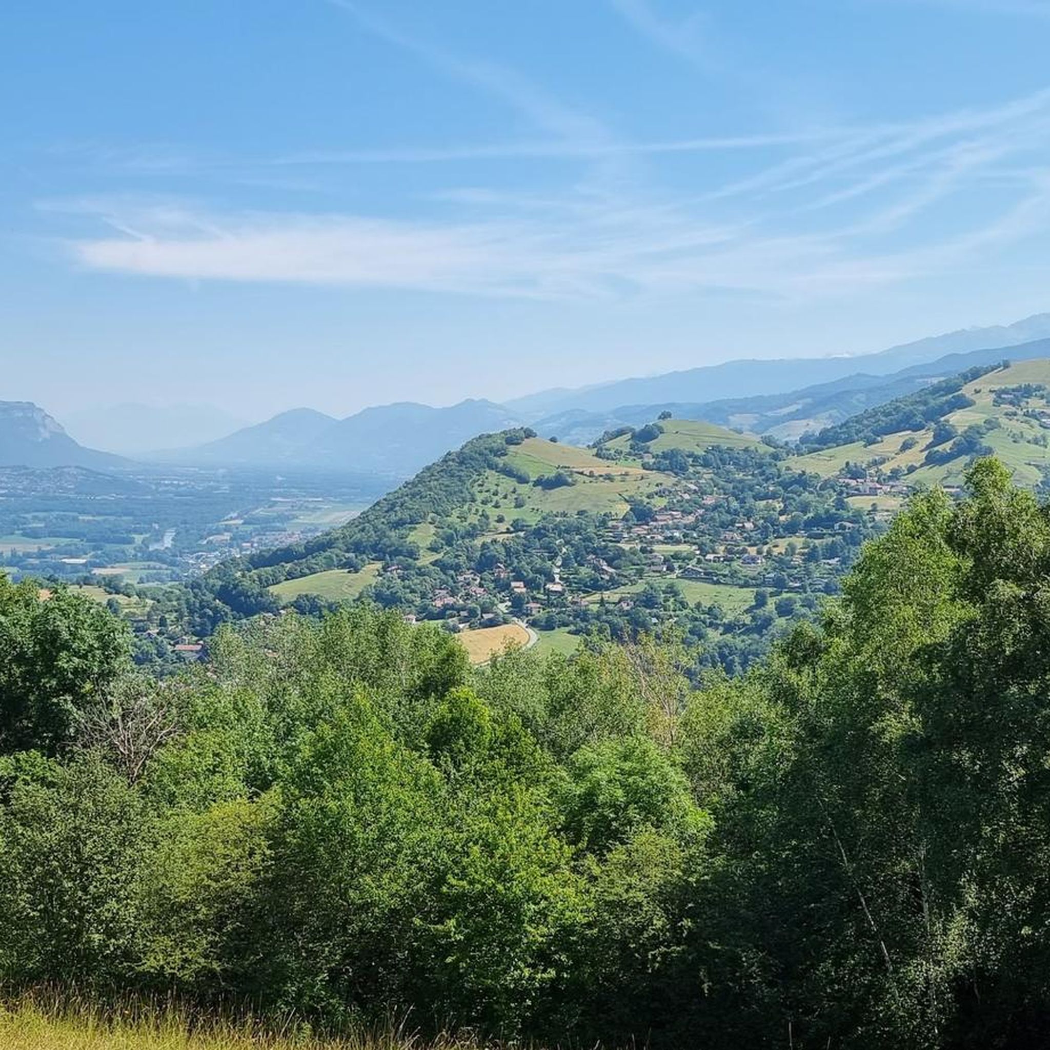
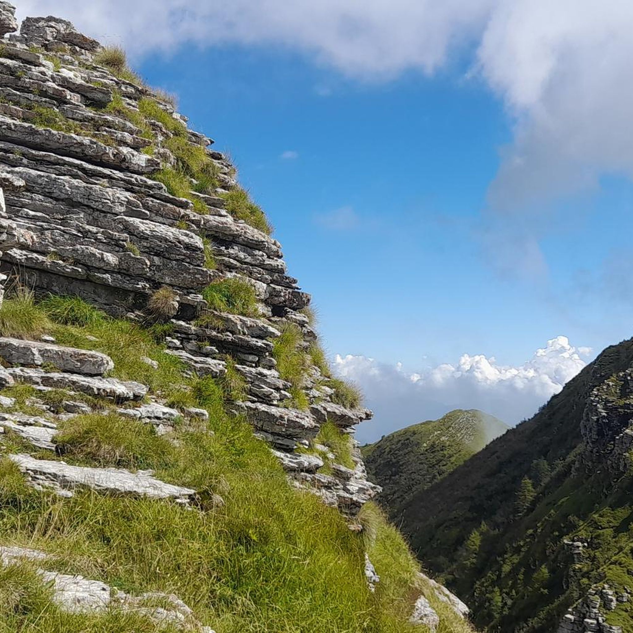
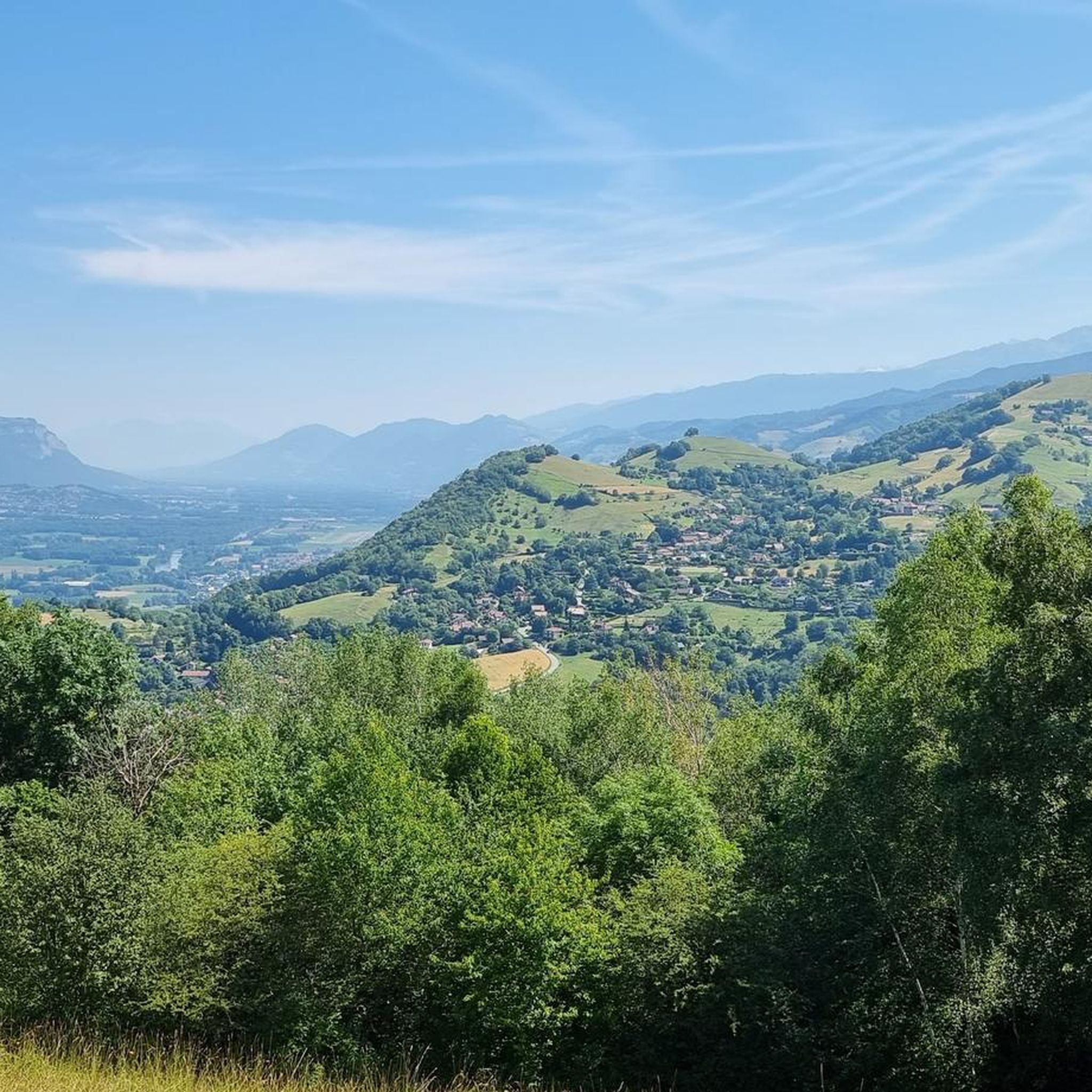
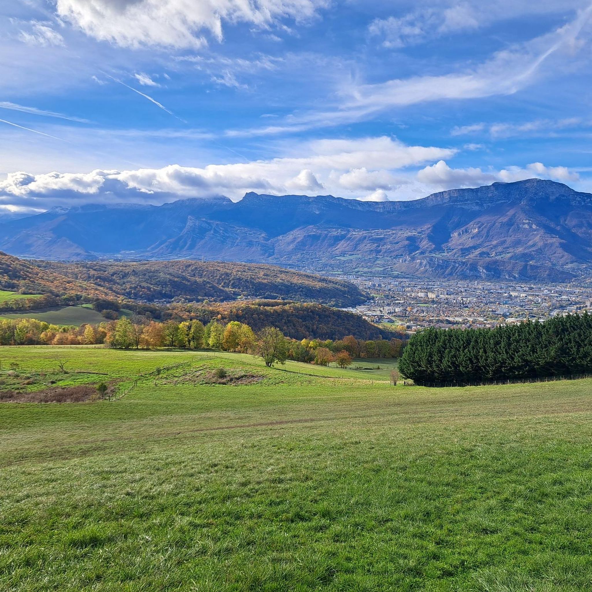
Tips from the Community

A bit of gas and a beautiful view of the city
0
0

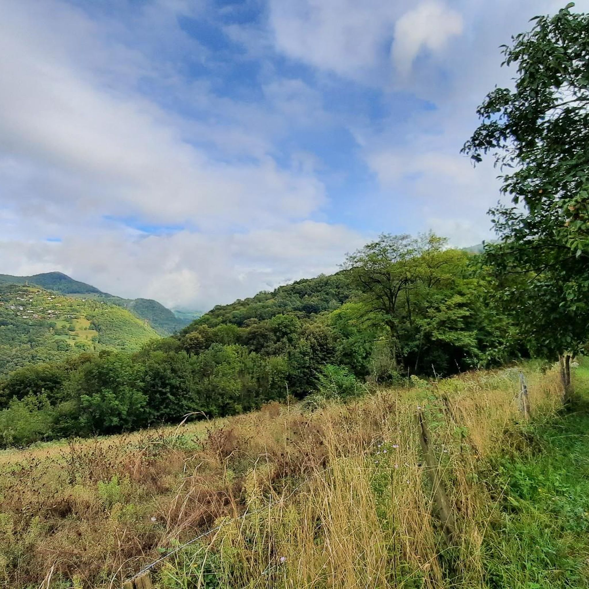
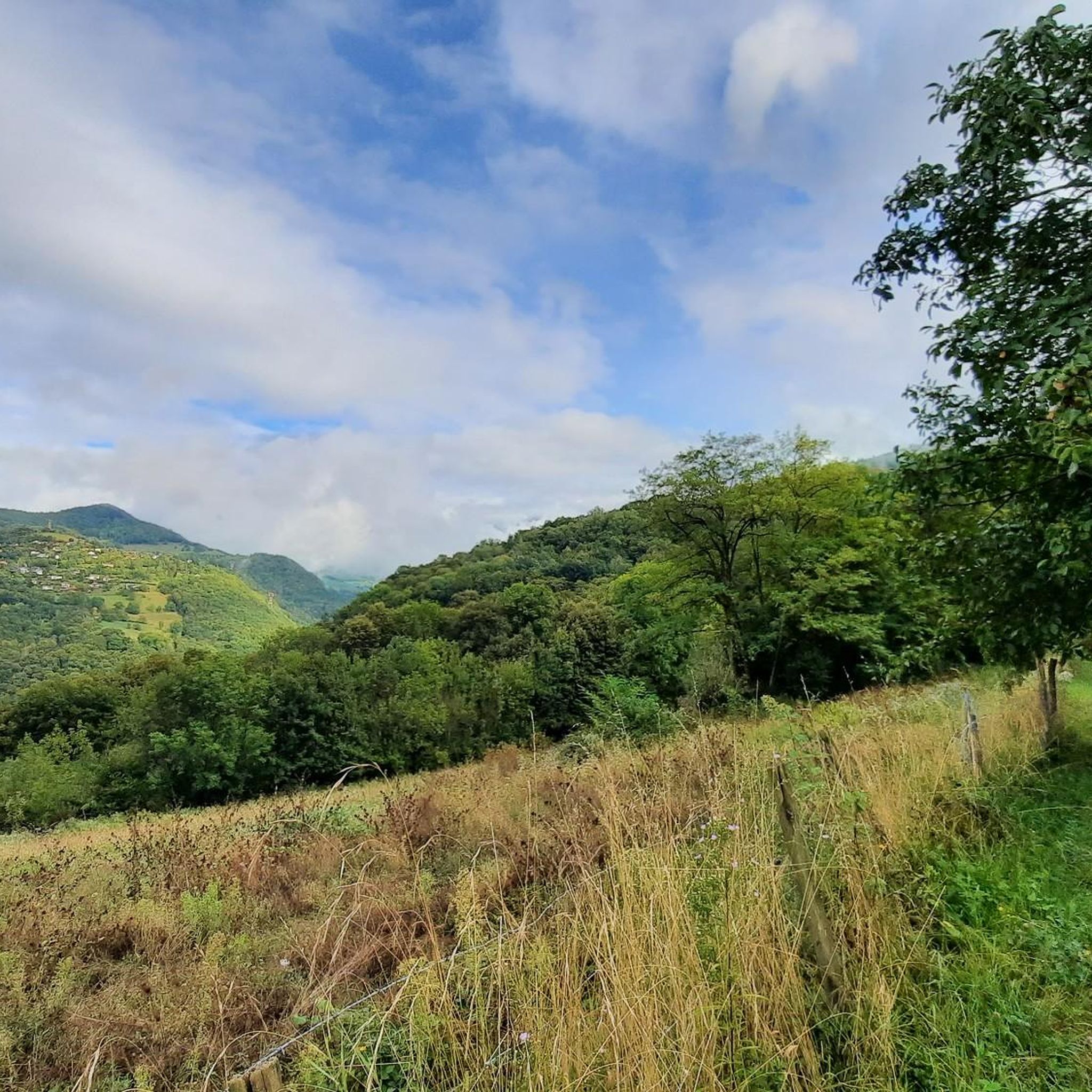
This spot offers a wider view of the Chartreuse mountains. Although still accessible, the trails begin to resemble those found in the Chartreuse mountains once you pass the Bastille.
0
0
The appeal of climbing Rachais lies in these ridges. They offer views of the Chartreuse mountains and invite you to venture further into the massif.
0
0

Beautiful view of the city, both day and night. Drinking water available.
1
0


Very beautiful refuge for bivouacking!
0
0
Frequently Asked Questions
What is the overall difficulty level of mountaineering routes around Poisat?
Mountaineering routes around Poisat are generally challenging. All 7 routes listed in this guide are rated as difficult, featuring significant elevation gains and varied terrain. For example, the Le Néron loop from Saint-Martin-le-Vinoux involves over 1,000 meters of ascent.
How many mountaineering routes are available around Poisat?
There are 7 mountaineering routes detailed in this guide for the Poisat area. These routes offer diverse experiences across the Dauphiné Alps, Chartreuse Massif, and Vercors Massif.
What do other mountaineers enjoy most about the routes near Poisat?
The mountaineering routes around Poisat are highly rated by the komoot community, with an average score of 5.0 stars from 9 reviews. Mountaineers often praise the challenging ascents, the dramatic landscapes, and the rewarding views of the Chartreuse Massif and other surrounding ranges.
Are there any circular mountaineering routes in the Poisat area?
Yes, several routes around Poisat are circular. For instance, the Le Néron loop from Saint-Martin-le-Vinoux and the Lake Bernard – La Pra Refuge loop from La Gafe are both circular, allowing you to return to your starting point without retracing your steps.
Which mountaineering routes offer significant elevation gain?
Many routes in the Poisat area feature substantial elevation gain. The Lake Bernard – La Pra Refuge loop from La Gafe, for example, involves over 1,100 meters of ascent, traversing alpine terrain to a high-altitude lake. Another challenging option is the Lake Pourettes loop from Les Seiglières, with over 1,000 meters of climbing.
What natural landmarks or viewpoints can I expect to see on mountaineering routes near Poisat?
The region around Poisat offers stunning natural landmarks and viewpoints. You can reach The Moucherotte Summit for panoramic views, or explore areas near Four Lords Pass. Other notable peaks include Mount Rachais and Izon Cross, offering diverse perspectives of the surrounding massifs.
Are there any historical sites or castles near the mountaineering trails?
Yes, beyond the natural beauty, you can find historical sites nearby. Château de Vizille and the Fort of Saint-Eynard are notable attractions that offer a glimpse into the region's past, often accessible from various points around the mountaineering areas.
What is the best time of year for mountaineering around Poisat?
The best time for mountaineering around Poisat is typically from late spring to early autumn (May to October), when trails are generally free of snow and weather conditions are more stable. However, the region's diverse landscapes, including the Chartreuse and Vercors Massifs, also offer opportunities for ski touring and snowshoeing in winter for experienced individuals.
Are there specific permit requirements for mountaineering in the Chartreuse or Vercors Massifs?
While general hiking on marked trails in the Chartreuse and Vercors Massifs typically does not require permits, certain activities or access to specific protected areas might. It's always advisable to check with local park authorities or the relevant tourist information centers for the most up-to-date regulations, especially for technical climbs or overnight stays in designated zones.
Are dogs allowed on the mountaineering trails near Poisat?
Many trails in the Chartreuse and Vercors Massifs are dog-friendly, but regulations can vary, especially within nature reserves or protected areas. It's best to check specific trail rules or local signage. Always keep dogs on a leash, especially in areas with livestock or wildlife, and ensure you clean up after them.
Are there family-friendly mountaineering options around Poisat?
Given that all routes in this guide are rated as difficult, they are generally not suitable for young children or beginners. However, the broader region offers extensive networks of trails, and you might find easier, family-friendly hikes in the lower elevations of the Chartreuse or Vercors Massifs that are more appropriate for a family outing.
Are the mountaineering routes around Poisat accessible by public transport?
Access to trailheads by public transport can be limited for some of the more remote mountaineering routes. However, Poisat is close to Grenoble, which has a well-developed public transport network. Some starting points, like those near Saint-Martin-le-Vinoux or Grenoble itself for the Mon Jalla loop from Grenoble, might be reachable via local buses or trams, followed by a walk to the trailhead. Checking local bus schedules is recommended.
Where can I find parking for mountaineering routes near Poisat?
Parking availability varies by trailhead. For routes starting from villages or towns like Saint-Martin-le-Vinoux or La Gafe, you can often find designated parking areas. For example, routes like the Mon Jalla loop from Grenoble may have parking options closer to urban areas. It's advisable to check specific route descriptions or local maps for parking information before you set out.
Most popular attractions around Poisat

Get inspired with the komoot mobile app


Explore more
Browse the best Mountain Hikes & Routes in other regions.
