The best cycling routes around Montchaboud
4.3
(572)
10,533
riders
216
rides
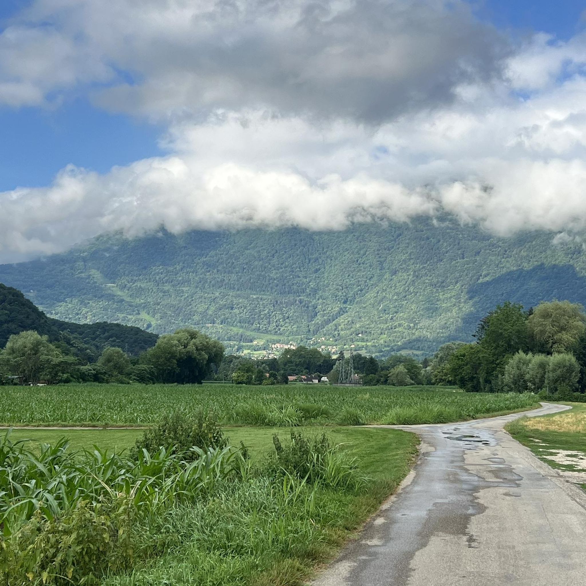
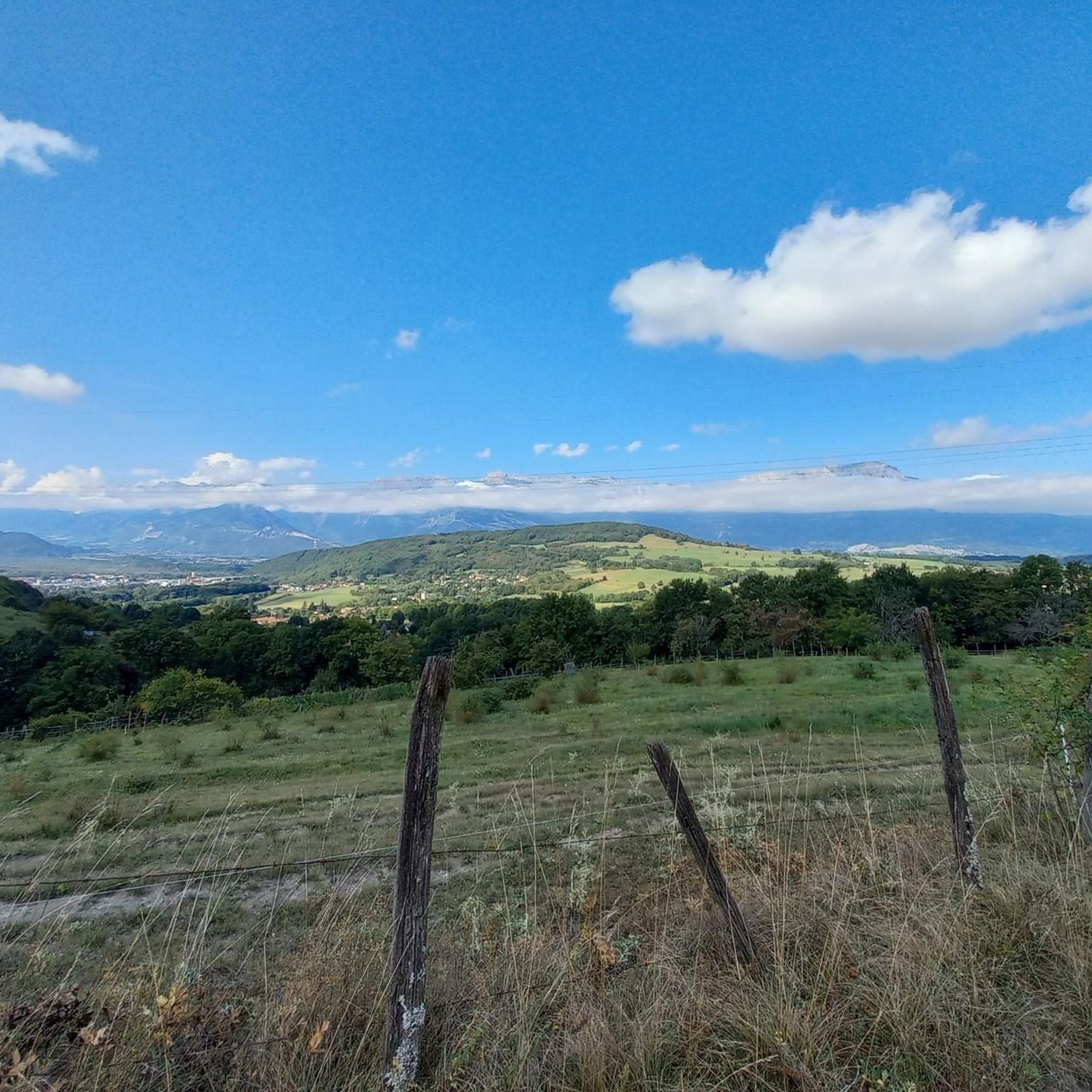
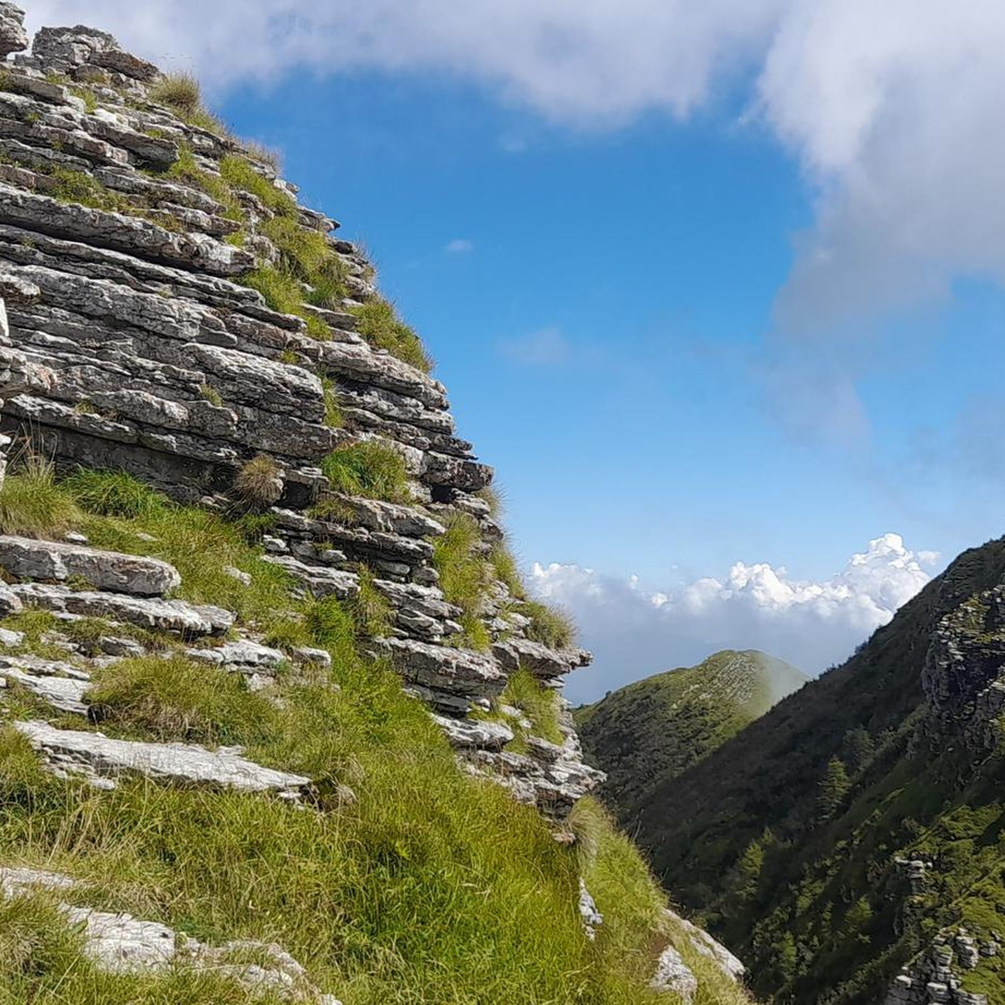
Touring cycling around Montchaboud offers a diverse range of landscapes, from paved surfaces and quiet back roads to forest trails and countryside paths. The region is characterized by hills and significant elevation changes, providing challenging climbs and descents. Cyclists can experience panoramic views of the Grenoble conurbation, the Chartreuse and Vercors mountain ranges, and the Vizille and Romanche valleys. Routes often wind through lush vegetation and chestnut forests, offering scenic passages.
Best touring cycling routes around Montchaboud
- The most popular…
Last updated: October 4, 2026
5.0
(13)
212
riders
90.3km
06:34
1,800m
1,800m
Hard bike ride. Very good fitness required. You may need to push your bike for some segments of this route.
4.3
(8)
179
riders
60.1km
03:25
140m
140m
Moderate bike ride. Good fitness required. Mostly paved surfaces. Suitable for all skill levels.

4.4
(9)
99
riders
Easy bike ride. Great for any fitness level. Mostly paved surfaces. Suitable for all skill levels.
97
riders
130km
09:25
2,670m
2,670m
Hard bike ride. Very good fitness required. Mostly paved surfaces. Suitable for all skill levels.
5.0
(1)
50
riders
64.6km
04:32
1,150m
1,150m
Hard bike ride. Very good fitness required. Mostly paved surfaces. Suitable for all skill levels.
Get access to more routes and recommendations from other explorers.
Already have an account?
Our route recommendations are based on thousands of hikes, rides, and runs completed by other people on komoot.
Start today with a free account
Your next adventure awaits.

Tips from the Community


The most direct passage to leave Grenoble by the South following the Drac Decathlon Comboire is just to the south
0
0

Beautiful cycle path along the Isere with views of the mountains.
1
0
Beautiful view of the Isere and the mountains.
1
0
Here was a resting place of Napoleon and his troops during the return from Elba.
0
0

with a beautiful view of the Isère and the citadel
0
0

Cool photo spot along the quiet route towards Grenoble.
1
0
Frequently Asked Questions
How many touring cycling routes are available around Montchaboud?
There are over 200 touring cycling routes in the Montchaboud area, catering to various skill levels. This includes 66 easy routes, 48 moderate routes, and 114 difficult routes, offering a wide range of options for cyclists.
What kind of terrain can I expect on touring cycling routes in Montchaboud?
Montchaboud offers a diverse cycling landscape, featuring a mix of paved surfaces, quiet back roads, forest trails, and countryside paths. You'll encounter hills and significant elevation changes, providing both challenging climbs and rewarding descents. Routes often wind through lush vegetation and chestnut forests, with many offering panoramic views.
Are there any family-friendly touring cycling routes in the Montchaboud area?
Yes, Montchaboud offers several family-friendly options. While specific touring routes are not detailed for families, the region has more accessible routes, such as a 20km loop from Uriage, which combines cycling pleasure with local scenery. These routes often alternate between quiet roads, forest tracks, and hillside paths, suitable for easy to moderate levels.
What are some notable landmarks or attractions I can see while cycling around Montchaboud?
Many touring cycling routes in Montchaboud pass by or offer views of interesting landmarks and natural features. You can explore historical sites like the Château de Vizille, or traverse mountain passes such as Col de la Morte and Four Lords Pass. Some routes also feature impressive structures like the Rochefort footbridge, and offer stunning views of Montchaboud from the heights.
Are there any routes that feature lakes or water bodies?
Yes, some routes will bring you close to beautiful lakes. For instance, the Lake Monteynard – The Drac Corniche loop from Jarrie-Vizille is a difficult 73.5 km route that offers views of Lake Monteynard. Additionally, you can find highlights like Étang de Haute-Jarrie, Lake Laffrey, and Col du Luitel Pond in the broader region.
What is the best time of year for touring cycling in Montchaboud?
The Montchaboud region is generally enjoyable for cycling from spring through autumn. The diverse terrain and natural features are particularly scenic during these seasons. While specific seasonal conditions vary, the area's lush vegetation and chestnut forests are beautiful in warmer months. Always check local weather forecasts before heading out.
What do other touring cyclists say about the routes in Montchaboud?
The touring cycling routes around Montchaboud are highly rated by the komoot community, with an average score of 4.3 stars from over 500 reviews. Reviewers often praise the diverse terrain, panoramic vistas of the Grenoble conurbation and surrounding mountain ranges, and the challenging yet rewarding elevation changes.
Are there any particularly challenging touring cycling routes for experienced riders?
Absolutely. Montchaboud is known for its challenging routes with significant elevation gains. For example, the Alpe d'Huez climb – Ornon Pass loop from Jarrie-Vizille is a difficult 128.4 km route with over 2,600 meters of ascent. Other demanding options include the Voie Verte de l'Oisans – Le Bourg-d'Oisans loop from Jarrie-Vizille, which covers 101.7 km with over 1,900 meters of elevation.
Can I find circular touring cycling routes in Montchaboud?
Yes, many of the touring cycling routes around Montchaboud are designed as loops, allowing you to start and finish at the same point. Examples include the challenging Col de La Morte (1370 m) – Vizille Castle loop from Jarrie-Vizille and the Col de l'Arzelier – Rochefort footbridge loop from Jarrie-Vizille, both offering varied terrain and scenic views.
Are there options for parking near the touring cycling routes in Montchaboud?
While specific designated bike parking areas are not detailed, many routes start from towns or villages like Jarrie-Vizille, where public parking is generally available. It's advisable to check local parking options in your chosen starting point before your ride.
Is it possible to reach Montchaboud's cycling routes using public transport?
Montchaboud is located in the Isère region, which has public transport networks. While direct access to every trailhead might vary, major towns in the vicinity, such as Grenoble, are well-connected. From there, local buses or regional trains might provide access to areas closer to the cycling routes. It's recommended to check local public transport schedules for specific connections to your desired starting point.
What kind of views can I expect on the touring cycling routes?
Cyclists in Montchaboud are treated to panoramic vistas of the Grenoble conurbation, the majestic Chartreuse and Vercors mountain ranges, and the Vizille and Romanche valleys. Many routes wind through hillsides and offer elevated viewpoints, providing stunning natural backdrops throughout your ride.
Most popular routes around Montchaboud
Most popular attractions around Montchaboud

Get inspired with the komoot mobile app


Explore more
Browse the best Cycling routes in other regions.
