The best mountain hikes around Le Pont-De-Claix
4.2
(15)
114
hikers
11
hikes
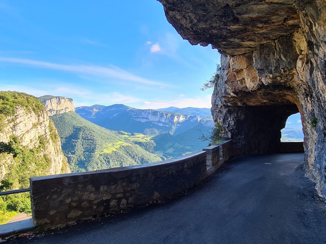
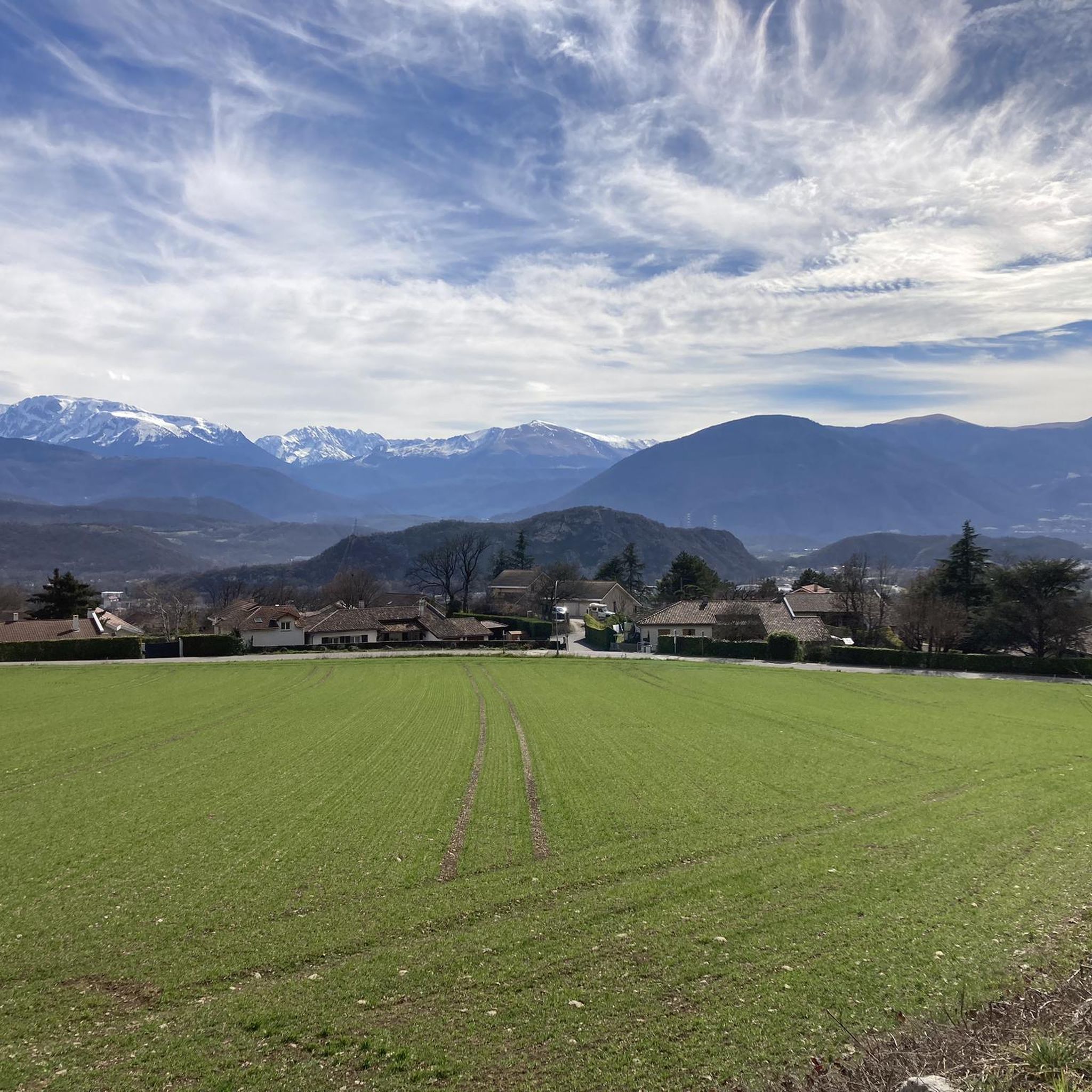
Mountaineering routes around Le Pont-De-Claix are situated at the convergence of the Vercors, Chartreuse, and Belledonne massifs, offering diverse terrain. The region features prominent limestone cliffs and significant peaks such as Moucherotte and Saint-Michel. These geological formations create dramatic valleys and provide extensive opportunities for high-altitude exploration. The landscape is characterized by varied elevations, ranging from accessible crags to challenging multi-pitch routes.
Best mountaineering routes around Le Pont-De-Claix
- The most popular mountaineering route is Pic Saint-Michel (1966 m) – Arc Pass loop from Parking des Barnets, a 5.6 miles (9.0 km) trail that takes about 3 hours 30 minutes to complete, offering panoramic views from the summit.
- Another top favourite among local mountaineers is Saint-Nizier-du-Moucherotte – Saint-Nizier-du-Moucherotte loop from Saint-Nizier-du-Moucherotte, a difficult 5.5 miles (8.9 km) path ascending through varied mountain terrain.
- Local mountaineers also love the Le Néron loop from Saint-Martin-le-Vinoux, a 7.8 miles (12.5 km) trail leading through the challenging slopes of Le Néron, often completed in about 7 hours.
- Mountaineering around Le Pont-De-Claix is defined by limestone massifs, prominent peaks, and dramatic valleys. The network offers options for both moderate and difficult ability levels.
- The routes in Le Pont-De-Claix are highly rated by the komoot community with an average score of 4.7 stars from more than 10 reviews. More than 100 mountaineers have used komoot to explore Le Pont-De-Claix's varied terrain.
Last updated: October 18, 2026
5.0
(5)
26
hikers
8.90km
04:06
700m
700m
Hard mountaineering route. Good fitness required. Sure-footedness, sturdy shoes and alpine experience required.
4.0
(2)
18
hikers
12.5km
07:01
1,020m
1,020m
Hard mountaineering route. Very good fitness required. Sure-footedness, sturdy shoes and alpine experience required.

14
hikers
8.38km
03:36
610m
610m
Moderate mountaineering route. Good fitness required. Mostly accessible paths. Sure-footedness required.
4.7
(3)
9
hikers
12.1km
05:21
800m
800m
Hard mountaineering route. Very good fitness required. Sure-footedness, sturdy shoes and alpine experience required.
3.0
(1)
9
hikers
7.78km
05:39
830m
830m
Hard mountaineering route. Very good fitness required. Sure-footedness, sturdy shoes and alpine experience required.
Get access to more routes and recommendations from other explorers.
Already have an account?
Our route recommendations are based on thousands of hikes, rides, and runs completed by other people on komoot.
Start today with a free account
Your next adventure awaits.
Popular around Le Pont-De-Claix
Other adventures around Le Pont-De-Claix

Tips from the Community


A bit of gas and a beautiful view of the city
0
0

Beautiful view of the city, both day and night. Drinking water available.
1
0


Frequently Asked Questions
How many mountaineering routes are available around Le Pont-De-Claix?
There are 14 mountaineering routes documented around Le Pont-De-Claix on komoot. These routes are split evenly between moderate and difficult grades, with 7 routes in each category, offering diverse challenges for mountaineers.
What kind of terrain can I expect on mountaineering routes near Le Pont-De-Claix?
The region around Le Pont-De-Claix is characterized by the convergence of the Vercors, Chartreuse, and Belledonne massifs, primarily featuring limestone cliffs and significant peaks like Moucherotte and Saint-Michel. You'll encounter varied elevations, dramatic valleys, and terrain suitable for both traditional climbing and alpine multi-pitch options.
Are there any easy mountaineering routes for beginners in Le Pont-De-Claix?
Currently, all mountaineering routes listed around Le Pont-De-Claix are either moderate or difficult. There are no routes specifically graded as easy. Beginners should consider routes like the Pic Saint-Michel (1966 m) – Arc Pass loop from Parking des Barnets, which is moderate, but ensure they have appropriate experience and gear.
What are some challenging mountaineering routes in the area?
For experienced mountaineers seeking a challenge, routes like the Le Néron loop from Saint-Martin-le-Vinoux offer demanding slopes and can take around 7 hours to complete. Another difficult option is the Saint-Nizier-du-Moucherotte loop, ascending through varied mountain terrain.
What natural landmarks or viewpoints can I discover along these routes?
The routes offer access to several notable natural features and viewpoints. You can reach the Saint-Michel Peak, enjoy panoramic views from The Moucherotte Summit, or traverse mountain passes such as Arc Pass and Col Vert. The region's geology also features interesting formations like the Grottes de Mandrin.
Are there any circular mountaineering routes around Le Pont-De-Claix?
Yes, many of the mountaineering routes in the area are circular. For example, the Pic Saint-Michel (1966 m) – Arc Pass loop from Parking des Barnets is a popular circular option. Another is the Auberge des Allières – Pic Saint-Michel (1966 m) loop, also starting from Parking des Barnets.
What do other mountaineers say about the routes in Le Pont-De-Claix?
The mountaineering routes around Le Pont-De-Claix are highly regarded by the komoot community, with an average rating of 4.7 stars from 19 reviews. Users often praise the diverse terrain, the stunning panoramic views from summits like Pic Saint-Michel, and the challenging yet rewarding ascents.
What is the best time of year for mountaineering in this region?
The limestone massifs around Le Pont-De-Claix offer opportunities for mountaineering during non-snow seasons, typically from late spring through early autumn. Higher altitude routes and peaks like Moucherotte and Saint-Michel are best enjoyed when snow has receded, usually from June to September. Winter conditions can introduce significant challenges, including snow and ice.
Are there any specific climbing sites or via ferratas near Le Pont-De-Claix?
Yes, the limestone mountains provide numerous climbing opportunities. The Roche de la Chaux offers over 100 climbing routes. Closer to Grenoble, the Pont de Vence cliff provides shaded routes, and the Narbonne cliff offers a wide range of climbing styles with exceptional views. For those interested in via ferratas, challenging options like the 'Eye Route' and the 'Elephant's Head Route' can be found at Rocher de la Chaux.
Can I reach mountaineering trailheads using public transport from Le Pont-De-Claix?
While specific public transport connections to every trailhead can vary, Le Pont-De-Claix's proximity to Grenoble means that some trailheads may be accessible via local bus networks. However, many mountaineering routes, especially those leading to higher peaks or more remote areas, often require personal vehicle access to reach the starting points or parking areas like Parking des Barnets.
Are there any mountaineering routes that are suitable for families?
Given that all listed mountaineering routes are graded as moderate or difficult, they may not be suitable for all families, especially those with young children or limited mountaineering experience. Families should assess their fitness and experience carefully. There are no specific 'family-friendly' mountaineering routes identified in the data; however, the region offers many easier hiking trails for family outings.
Are dogs allowed on the mountaineering routes around Le Pont-De-Claix?
While specific regulations can vary by massif or protected area, generally, dogs are often permitted on trails in the Vercors, Chartreuse, and Belledonne massifs, usually on a leash. It's always advisable to check local signage or park regulations for the specific route you plan to undertake, especially if it enters a nature reserve, to ensure dog-friendly access.
Most popular routes around Le Pont-De-Claix
Most popular attractions around Le Pont-De-Claix

Get inspired with the komoot mobile app


Explore more
Browse the best Mountain Hikes & Routes in other regions.
