The best walks and hikes around Ballaison
4.5
(988)
7,238
hikers
246
hikes
Hiking around Ballaison offers diverse landscapes in the Haute-Savoie region of France, characterized by a mix of mountain, forest, and valley footpaths. The area provides panoramic views of Lake Geneva and the Jura Mountains, with prominent features like the Massif du Crêt du Midi and Signal des Voirons. Hikers can explore wooded areas, vineyards, and plateaus, encountering natural landmarks such as the Cascade de Pisse-Vache waterfall and the geological curiosity of Pierre à Martin. The varied terrain and elevation provide…
Last updated: October 14, 2026
4.6
(15)
85
hikers
15.5km
05:35
940m
940m
Hard hike. Very good fitness required. Mostly accessible paths. Sure-footedness required.
4.7
(6)
45
hikers
Hard hike. Very good fitness required. Mostly accessible paths. Sure-footedness required.

4.3
(6)
43
hikers
8.82km
02:23
120m
120m
Moderate hike. Good fitness required. Easily-accessible paths. Suitable for all skill levels.
4.3
(7)
43
hikers
Moderate hike. Good fitness required. Easily-accessible paths. Suitable for all skill levels.
5.0
(3)
26
hikers
9.94km
02:34
50m
50m
Moderate hike. Good fitness required. Easily-accessible paths. Suitable for all skill levels.
Get access to more routes and recommendations from other explorers.
Already have an account?
Our route recommendations are based on thousands of hikes, rides, and runs completed by other people on komoot.
Start today with a free account
Your next adventure awaits.

Tips from the Community

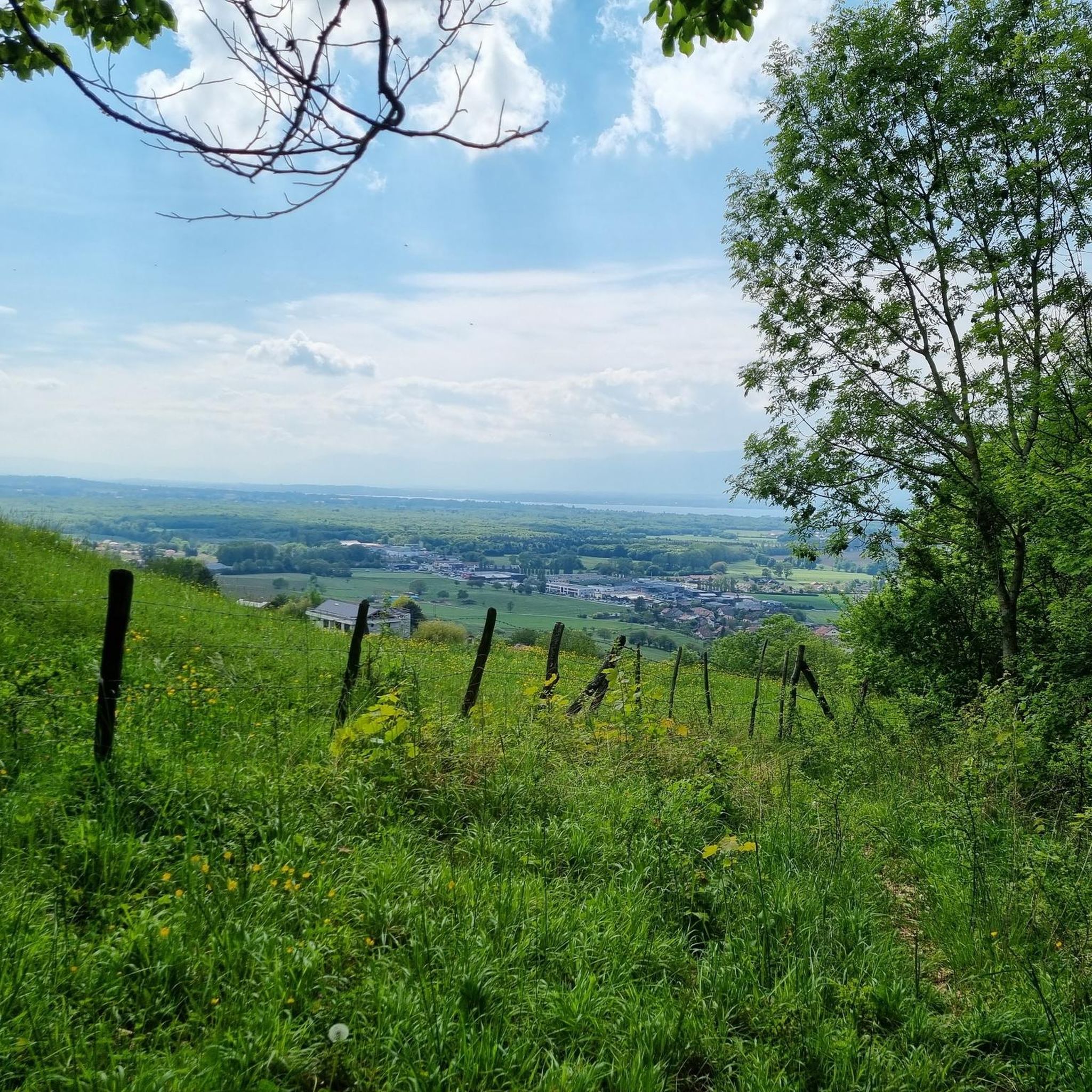
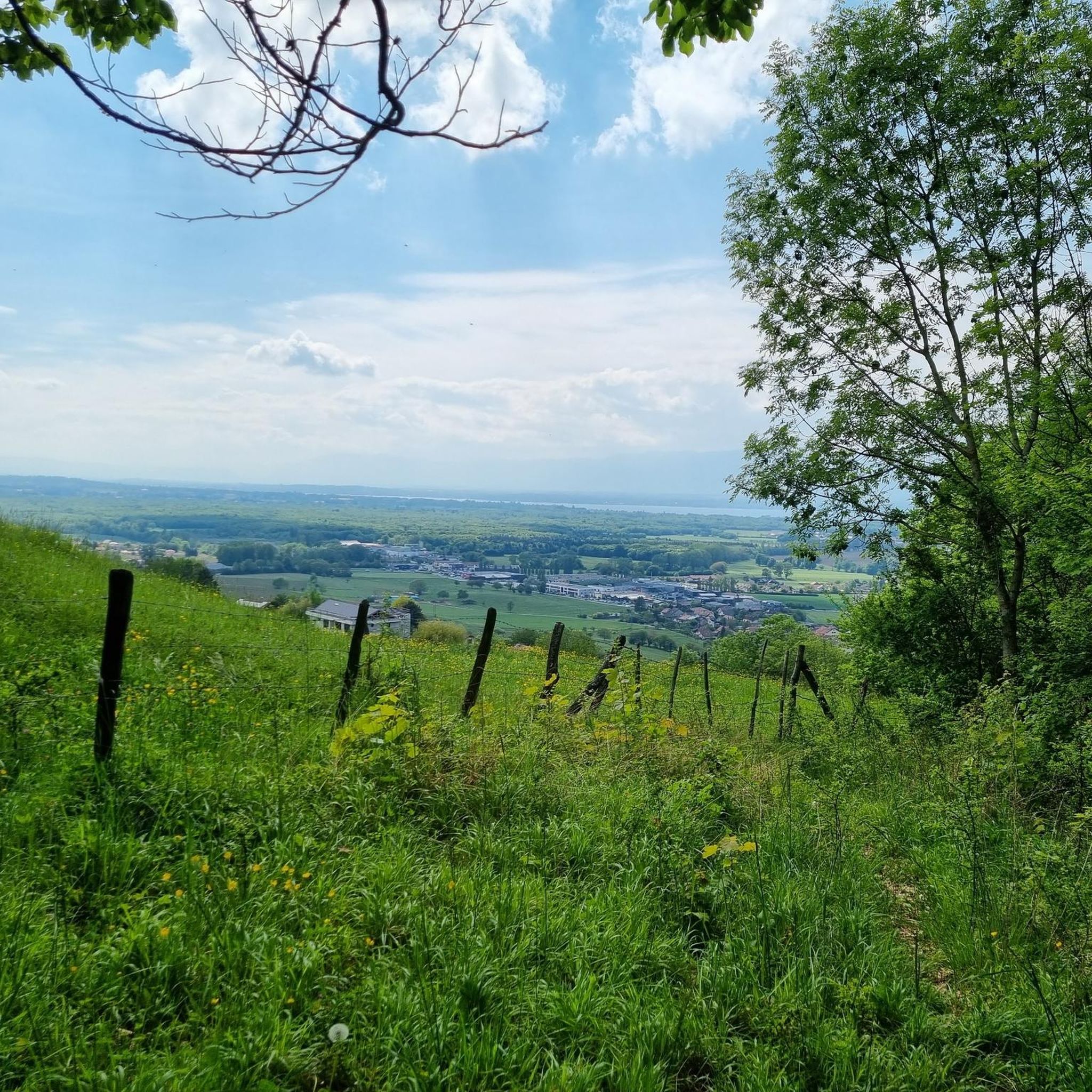
The forest in front of it is dense and very shady. There the clearing with the single tree on it is a small apparition.
0
0
There are countless better views on the Signal des Voiron. But coming from the forest, all the time in the shade and wandering between trees, this view was an apparition and worth a photo.
0
0
I hiked through the forest from Massongy and at a turn, hidden by a high hedge, there it was all of a sudden. But you can also reach the boulder from Ballsaison. Then, however, by car and a bit of walking.
0
0

No bicycle access to the summit. Highest point of the road
0
0

Impressive views and good trails.
1
0


Beautiful path through the woods Very easy to access and shaded Really very pleasant
0
0

Beautiful view of the Mont Blanc massif
0
0
Frequently Asked Questions
How many hiking trails are available around Ballaison?
There are over 240 hiking trails around Ballaison, offering a wide range of options from easy walks to challenging mountain treks. The area is known for its diverse landscapes, including mountain, forest, and valley footpaths.
What kind of terrain can I expect on hikes in Ballaison?
Hikes in Ballaison feature a mix of mountain, forest, and valley footpaths. You'll traverse wooded areas, vineyards, and plateaus, characteristic of the Alpine region. The terrain varies from gentle slopes to significant elevation gains, especially on routes leading to prominent massifs like the Signal des Voirons.
Are there any family-friendly hiking options in Ballaison?
Yes, Ballaison offers several easy walks suitable for families. For instance, the Tour du massif du crdpis loop from Ballaison is a 3.8-mile (6.1 km) trail through wooded areas and gentle slopes, often completed in under two hours, making it ideal for a leisurely family outing.
Can I bring my dog on the hiking trails in Ballaison?
Many trails in the Ballaison area are dog-friendly, allowing you to enjoy the outdoors with your canine companion. It's always recommended to keep dogs on a leash, especially in nature reserves or areas with livestock, and to check local regulations for specific routes.
What are the best viewpoints or natural features to see while hiking in Ballaison?
Hikers in Ballaison can enjoy stunning panoramic views of Lake Geneva and the Jura Mountains. Notable natural features include the beautiful Cascade de Pisse-Vache waterfall near Brenthonne and the geological curiosity of Pierre à Martin. Many routes also pass through scenic vineyards.
Are there any circular hiking routes available in Ballaison?
Yes, Ballaison features numerous well-defined loop trails. Popular options include the Tour du massif du crdpis loop from Douvaine, a moderate 6.2-mile (10.0 km) path, and the Signal of the Voirons – Notre-Dame des Voirons loop from Machilly, which is a more challenging 9.5-mile (15.2 km) route offering expansive views.
What is the best time of year to go hiking in Ballaison?
The best time for hiking in Ballaison is generally from spring through autumn, when the weather is mild and trails are clear. Spring brings blooming wildflowers, while autumn offers vibrant foliage. Summer is also popular, but some higher-elevation trails might be very warm. Winter hiking is possible on lower, well-maintained paths, but requires appropriate gear and caution.
What do other hikers enjoy most about the trails in Ballaison?
The hiking trails around Ballaison are highly rated by the komoot community, with an average score of 4.6 stars from over 700 reviews. Hikers frequently praise the diverse landscapes, the stunning views of Lake Geneva and the Jura Mountains, and the variety of routes catering to different fitness levels.
Are there any interesting historical sites or villages near the hiking trails?
Absolutely. While hiking, you can explore charming nearby villages and historical sites. The medieval village of Yvoire, with its Saint Pancras Church, is a notable attraction. Many trails also offer views of the region's traditional architecture and vineyards.
What are the most challenging hikes in the Ballaison area?
For those seeking a challenge, routes to the Massif du Crêt du Midi and Signal des Voirons offer significant elevation gain. The Signal of the Voirons – Notre-Dame des Voirons loop from Machilly is a difficult 9.5-mile (15.2 km) trail requiring good fitness and sure-footedness, rewarding hikers with expansive mountain views.
Is public transport available to reach trailheads around Ballaison?
While Ballaison is well-connected by road, public transport options to specific trailheads can vary. It's advisable to check local bus schedules or regional transport services for routes that connect to your desired starting points. Many hikers opt for personal vehicles due to the flexibility it offers for accessing more remote trails.
Where can I find parking for hiking trails in Ballaison?
Parking is generally available at or near popular trailheads and in the villages surrounding Ballaison. Designated parking areas are often signposted. For specific routes, it's recommended to check the route details on komoot, as they often include information about starting points and parking facilities.
Most popular routes around Ballaison
Most popular attractions around Ballaison

Get inspired with the komoot mobile app


Explore more
Browse the best Hikes in other regions.
