The best walks and hikes around Blender
4.2
(26)
118
hikers
23
hikes
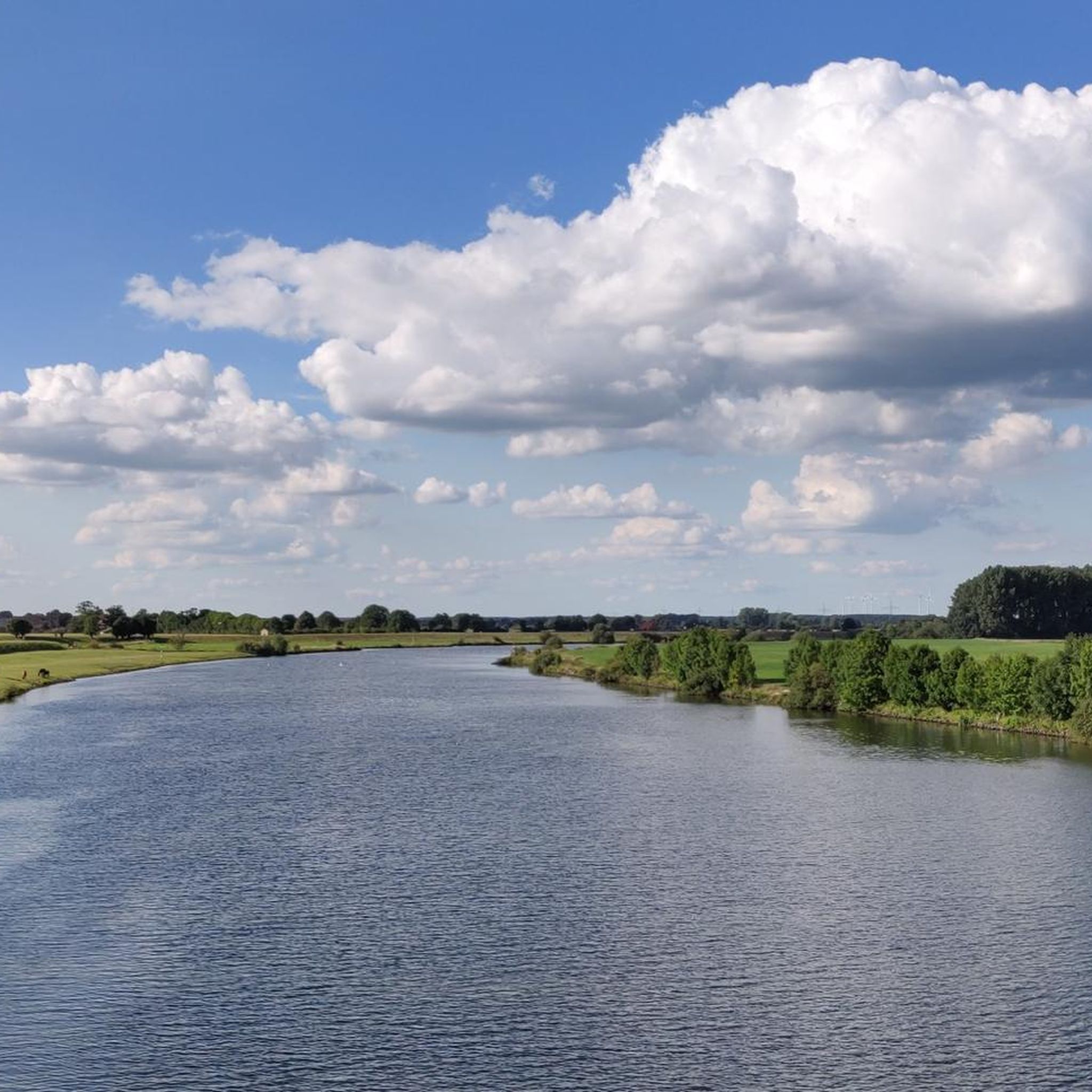
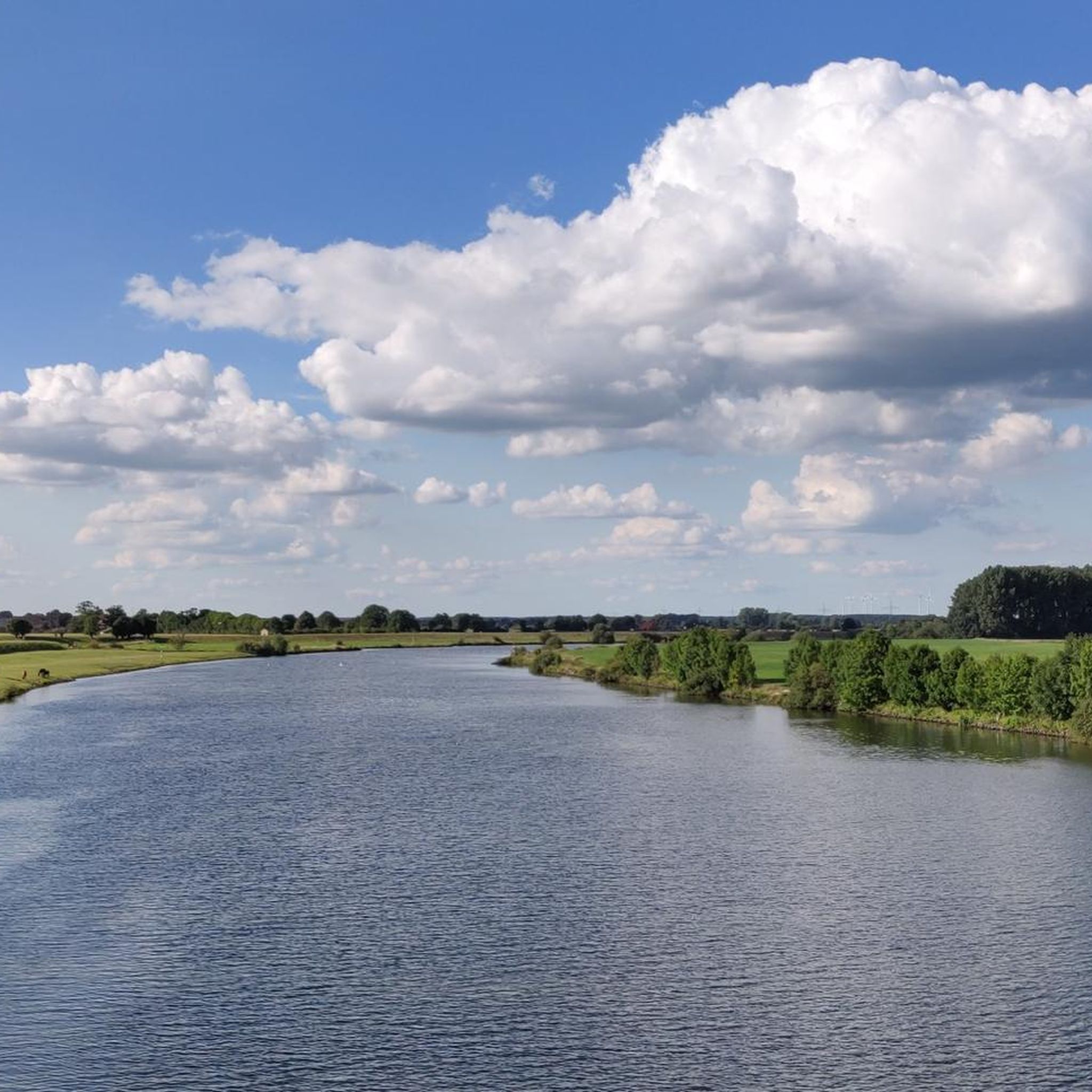
Hiking around Blender offers a network of trails primarily characterized by flat terrain and gentle elevation changes. The landscape features local landmarks like the Blender Lake Swimming Area and the Blender Windmill, alongside agricultural areas and small forests. Many routes are circular walks, providing accessible options for exploring the local environment. The region's trails are generally easy to moderate, making them suitable for a wide range of hikers.
Best hiking trails around Blender
- The most popular hiking route is Blender…
Last updated: August 25, 2026
14
hikers
Easy hike. Great for any fitness level. Easily-accessible paths. Suitable for all skill levels.
4.8
(4)
9
hikers
8.58km
02:10
10m
10m
Moderate hike. Good fitness required. Easily-accessible paths. Suitable for all skill levels.

Sign up for free
9
hikers
6.51km
01:38
10m
10m
Easy hike. Great for any fitness level. Easily-accessible paths. Suitable for all skill levels.
4.0
(1)
9
hikers
8.61km
02:10
10m
10m
Moderate hike. Good fitness required. Easily-accessible paths. Suitable for all skill levels.
3.0
(1)
1
hikers
8.79km
02:13
10m
10m
Moderate hike. Good fitness required. Easily-accessible paths. Suitable for all skill levels.
Get access to more routes and recommendations from other explorers.
Sign up for free
Already have an account?
Our route recommendations are based on thousands of hikes, rides, and runs completed by other people on komoot.
Start today with a free account
Your next adventure awaits.
Login or Signup
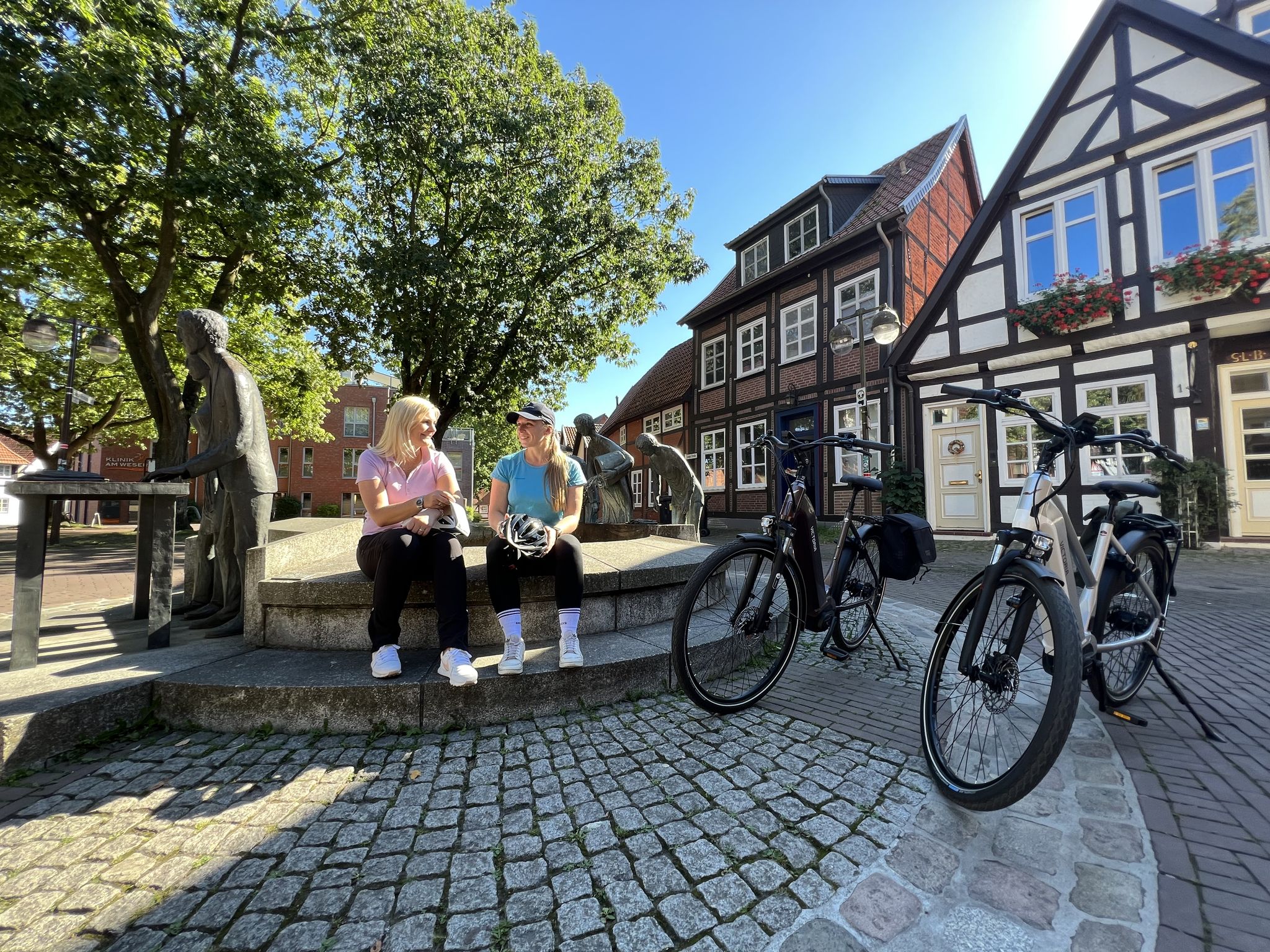
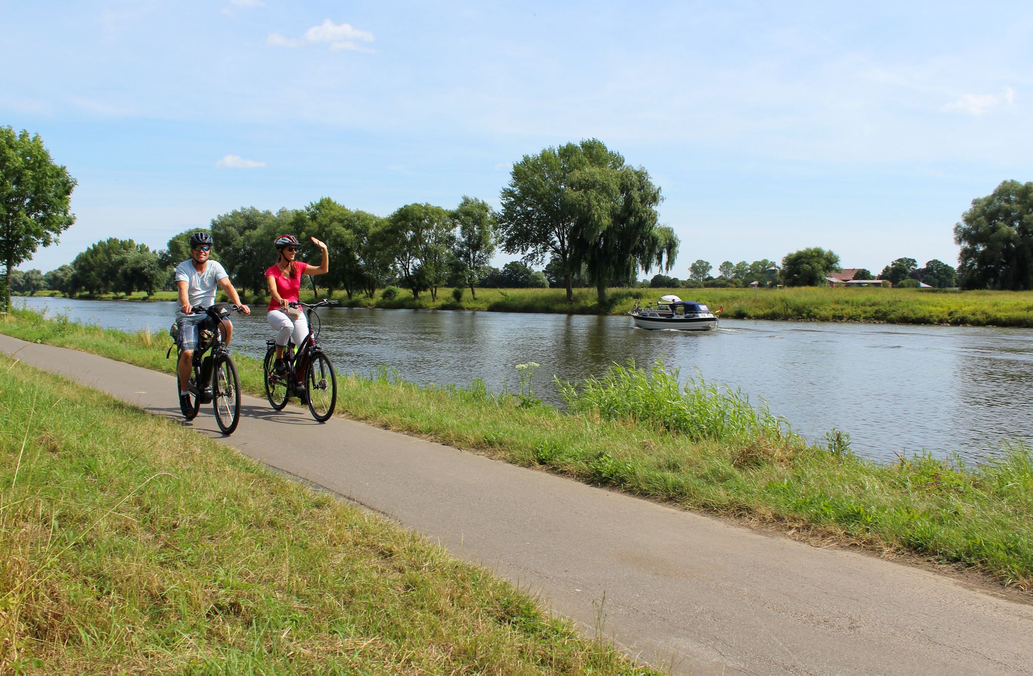
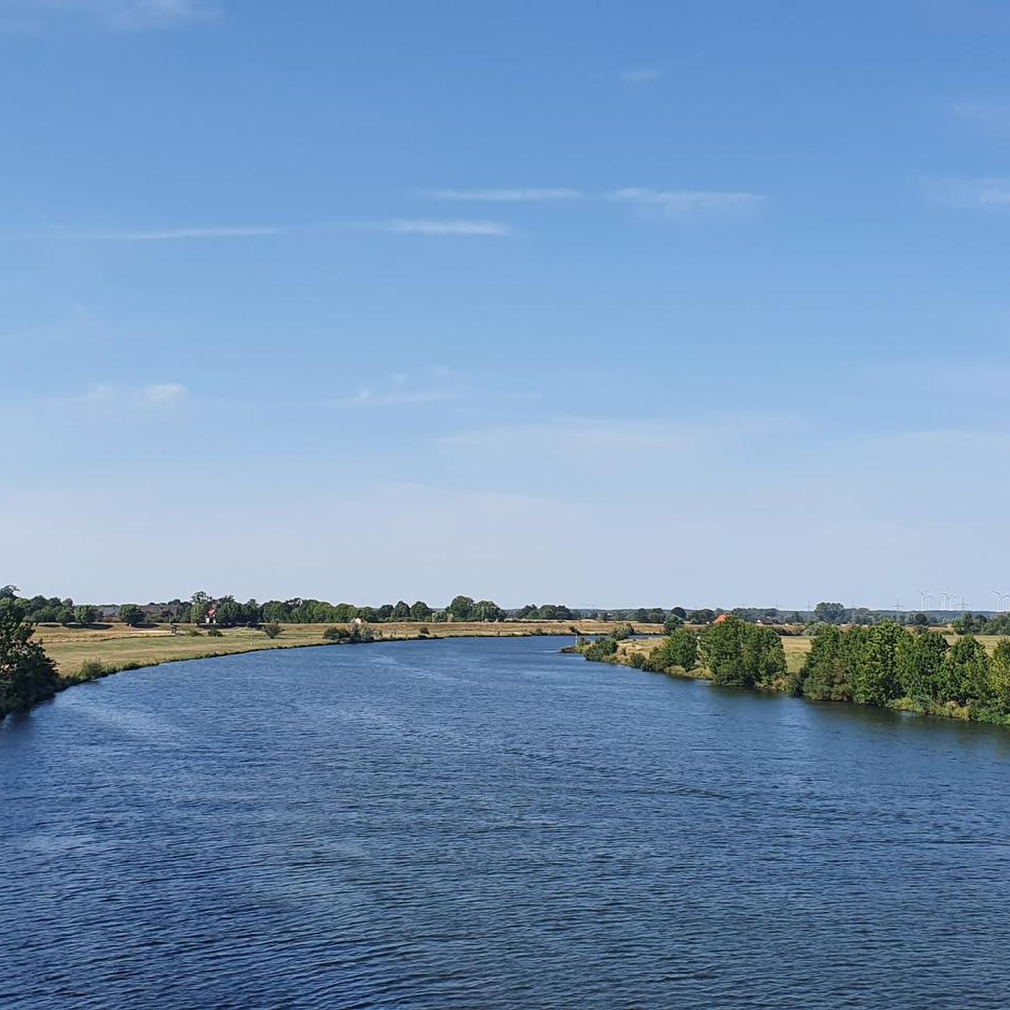

Tips from the Community

Very nice cafe in a wonderful green environment.
0
0
Very well-preserved half-timbered house.
0
0

The small church dates back to the 19th century. Among the parishes in the Thedinghausen municipality, Oiste is the smallest parish, and its church served as the seat of the regional superintendent at the time when the Verden/Hoya parish still existed, whose regional superintendent was the Oist clergyman Wilhelm Lienhop. It is noteworthy that Oiste appears in documents as early as 860, while the church was first mentioned in 1420 as a branch church of Wechold. The current Oiste church, like the neighboring churches in Blender and Intschede, was built in the first half of the 19th century (1832) by the consistory master builder Hellner in the neoclassical style. The interior was renovated in 2000, transforming the small church, with its pulpit altar and semicircular front gallery, into a true gem. In 2005, the Mayer organ was restored, and in 2009, the church underwent what was arguably its most extensive restoration project: the spire was removed, the entire tower demolished, and the rotten wooden framework removed and replaced with new oak posts. A new wooden bell frame was then installed, the tower rebuilt, and the spire, which had since been restored, was replaced. The cemetery contains several remarkable gravestones from the 18th and 19th centuries. Source: https://www.mittelweser-tourismus.de/poi/kirche-oiste
1
0

Beautiful old half-timbered granary in Varste.
0
0
Frequently Asked Questions
What kind of terrain can I expect when hiking around Blender?
Hiking around Blender is characterized by predominantly flat terrain with gentle elevation changes. You'll find trails winding through agricultural areas, small forests, and past local landmarks like the Blender Lake Swimming Area and the Blender Windmill.
How many hiking routes are available in the Blender area?
There are over 20 hiking routes available around Blender, offering a variety of options for different preferences and fitness levels. The komoot community has explored these trails over 100 times.
Are there easy hiking trails suitable for beginners or families in Blender?
Yes, Blender offers many easy hiking trails. Out of the 23 routes, 16 are classified as easy. An excellent option for a pleasant, accessible walk is the Blender Lake Swimming Area loop from Blender, which is 2.4 miles (3.9 km) long and takes about 1 hour to complete.
Are there any circular walks around Blender?
Yes, many of the routes in Blender are circular walks, making them convenient for exploring the local environment without needing to retrace your steps. For example, the Oiste Church – Blender Windmill loop from Blender is a 5.7 miles (9.1 km) circular trail.
What are some notable landmarks or attractions I can see while hiking in Blender?
While hiking around Blender, you can encounter local landmarks such as the Blender Lake Swimming Area and the Blender Windmill. Nearby attractions include the View of Verden and its cathedral, the Weser bridge in Hoya, and the Weser River near Achim.
What do other hikers say about the trails in Blender?
The hiking routes in Blender are highly rated by the komoot community, with an average score of 4.4 out of 5 stars from over 20 reviews. Hikers often praise the flat paths, local landmarks, and the accessibility of the circular walks.
Are there any moderate hiking trails for a bit more challenge?
Yes, for those looking for a slightly longer or more varied experience, there are 7 moderate trails. A popular moderate option is the Blender Windmill – Blender Lake Swimming Area loop from Amedorf, which is 5.3 miles (8.6 km) long and connects two key local features.
Are there any trails that pass by water features or swimming spots?
Yes, the Blender Lake Swimming Area loop from Blender directly circles the local swimming area, offering a pleasant walk alongside water. The region also features the Weser River nearby.
Can I find places to rest or shelter along the hiking routes?
Yes, there are several shelters and rest stops in the vicinity. You can find places like the Rest stop on the Weser with a view and the Dahlhausen Shelter with a View of the Weser, which can be useful during your hikes.
What is the typical duration for hikes in Blender?
Hikes in Blender vary in duration depending on the route and your pace. Easy trails like the Blender Lake Swimming Area loop can be completed in about 1 hour, while moderate routes such as the Oiste Church – Blender Windmill loop typically take around 2 hours 15 minutes.
Are there any trails that go through forests or natural areas?
Yes, many routes in Blender incorporate small forest sections. For example, the Schwarme forest kindergarten – Fire pond in the Drei-Dörfer Forest loop from Hustedt offers a walk through a forested area.
Most popular attractions around Blender

Get inspired with the komoot mobile app


Explore more
Browse the best Hikes in other regions.
