The best mountain hikes around Livet-Et-Gavet
4.6
(23)
294
hikers
21
hikes
Mountaineering routes Livet-Et-Gavet are situated in the Isère department of France's Auvergne-Rhône-Alpes region, within the Oisans area of the Romanche valley. This location places it between the Belledonne and Taillefer mountain ranges, offering diverse and challenging alpine terrain. The region features numerous mountain peaks, passes, and high-altitude lakes such as Lac Achard and Lacs Robert, often requiring good fitness and sure-footedness. Elevations in the area range significantly, providing varied landscapes for mountaineering.
Best mountaineering routes around Livet-Et-Gavet
- The most popular…
Last updated: October 18, 2026
5.0
(2)
18
hikers
Hard mountaineering route. Very good fitness required. Sure-footedness, sturdy shoes and alpine experience required.
17
hikers
12.3km
06:14
1,060m
1,060m
Hard mountaineering route. Very good fitness required. Sure-footedness, sturdy shoes and alpine experience required.

4.5
(2)
16
hikers
10.2km
05:52
850m
850m
Hard mountaineering route. Very good fitness required. Sure-footedness, sturdy shoes and alpine experience required.
5.0
(2)
9
hikers
17.8km
08:00
1,120m
1,120m
Hard mountaineering route. Very good fitness required. Mostly accessible paths. Sure-footedness required.
12
hikers
13.3km
06:30
1,060m
1,060m
Hard mountaineering route. Very good fitness required. Sure-footedness, sturdy shoes and alpine experience required.
Get access to more routes and recommendations from other explorers.
Already have an account?
Our route recommendations are based on thousands of hikes, rides, and runs completed by other people on komoot.
Start today with a free account
Your next adventure awaits.

Other adventures around Livet-Et-Gavet

Tips from the Community


Very beautiful view when the sky is clear, remember to take a windbreaker at the summit, you will find ibexes. The area is really very simple and does not require strong hiking / trail experience (for the altitude 2930 I think)
1
0
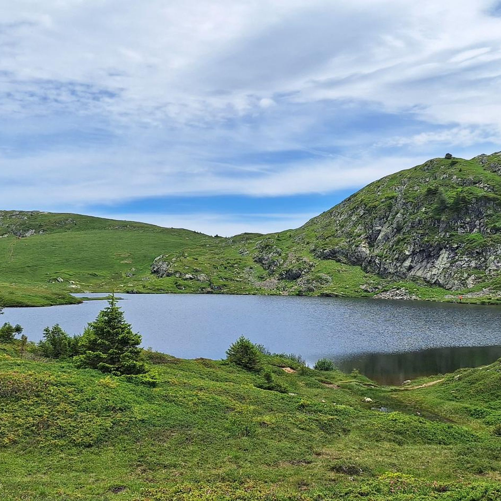
Magnificent lake! Accessible to all! As a bonus, you'll find ibexes and a few marmots if you're lucky. For the more courageous, you can climb to an altitude of 2,900 m by continuing on the path with a magnificent view if the sky is clear!
0
0

Very beautiful refuge for bivouacking!
0
0

Magnificent waterfall several dozen meters high which brings a lot of freshness!
0
0

A high-altitude lake, very quiet and rarely visited. The lake is at an altitude of 2,115 m. It offers breathtaking 360° views.
0
0

Great refuge, we were very well received and the terrace is ideal for spending the evening and having a good breakfast in the sun!
0
0

Frequently Asked Questions
How many mountaineering routes are available in Livet-Et-Gavet?
There are 27 mountaineering routes around Livet-Et-Gavet, offering a range of experiences from moderate to difficult.
Are there any easy mountaineering routes for beginners in Livet-Et-Gavet?
While most routes are challenging, there is 1 easy mountaineering route available in Livet-Et-Gavet, suitable for beginners or those looking for a less strenuous experience.
What kind of natural features can I expect to see on mountaineering routes in Livet-Et-Gavet?
Mountaineering routes in Livet-Et-Gavet often feature stunning alpine lakes like Lake Achard, Lacs Robert, and Lac Fourchu. You can also encounter impressive waterfalls such as the Cascade de l'Oursière and enjoy breathtaking views of the Belledonne and Taillefer mountain ranges.
Are there any circular mountaineering routes in Livet-Et-Gavet?
Yes, many routes in the area are circular. For example, the challenging Via Ferrata du Grand Bec – Lac de Brouffier loop from La Morte and the Lac de Prévourey loop from La Morte are popular circular options.
What are some notable landmarks or points of interest near the mountaineering routes?
Beyond the natural beauty, you can explore significant mountain passes and peaks. Consider visiting the Ornon Pass or the Pas de la Confession. For impressive summits, the Croix de Belledonne Summit and Le Taillefer offer spectacular views.
What is the best time of year for mountaineering in Livet-Et-Gavet?
The best time for mountaineering in Livet-Et-Gavet is typically during the warmer months, from late spring to early autumn, when trails are clear of snow and weather conditions are more stable. Some higher-altitude routes may still have snow patches early in the season, requiring appropriate gear and experience.
Are there any family-friendly mountaineering options in the region?
While many routes are demanding, some areas offer more accessible options. For instance, Lac Fourchu is known as a mountain lake ideal for family hikes with opportunities for swimming and picnicking. Always check the specific route's difficulty and elevation gain to ensure it suits your family's experience level.
What is the average duration of mountaineering routes in Livet-Et-Gavet?
The duration of routes varies significantly based on difficulty and length. For example, the Chamrousse – Lake Pourettes loop from Chamrousse can be completed in about 4 hours, while the Col du Grand Van loop from Lac de Poursollet typically takes over 6 hours.
What do other mountaineers enjoy the most about mountaineering in Livet-Et-Gavet?
The area is highly rated by the komoot community, with an average score of 4.7 stars from over 40 reviews. Mountaineers often praise the challenging mountain peaks, stunning alpine lakes, and impressive waterfalls like the Cascade de l'Oursière, highlighting the diverse and rewarding terrain.
Are there any routes that offer panoramic viewpoints?
Yes, the region is known for its breathtaking vistas. The Grand Galbert, for example, provides magnificent 360-degree views of the surrounding mountains, including those around Grenoble. Many high-altitude routes in the Belledonne and Taillefer ranges offer expansive panoramic views.
What is the typical elevation gain on mountaineering routes here?
Mountaineering routes in Livet-Et-Gavet feature significant elevation gains. For instance, the Petit Van loop from Chamrousse involves over 1000 meters of ascent, while the Lac de Prévourey loop from La Morte has an elevation gain of over 1200 meters.
Most popular routes around Livet-Et-Gavet
Most popular attractions around Livet-Et-Gavet

Get inspired with the komoot mobile app


Explore more
Browse the best Mountain Hikes & Routes in other regions.
