The best walks and hikes around Vinzier
4.5
(2194)
17,007
hikers
269
hikes
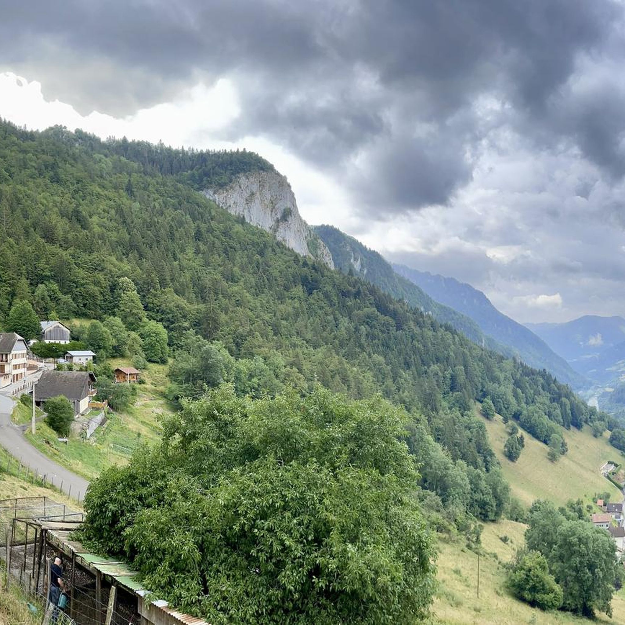
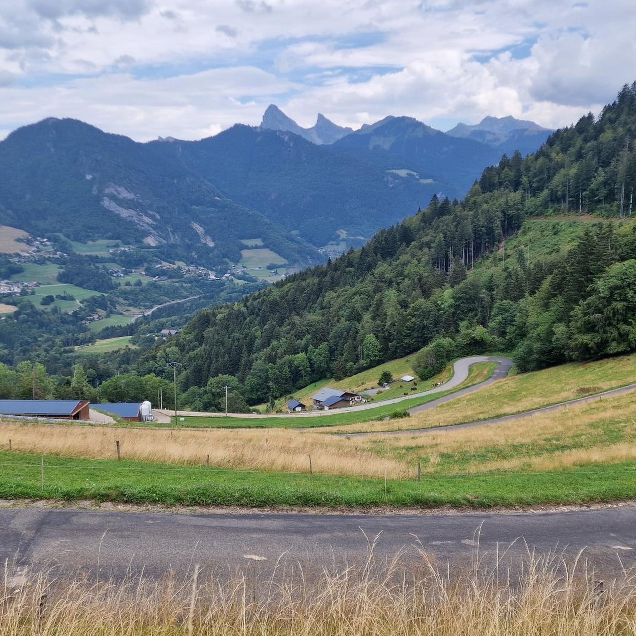
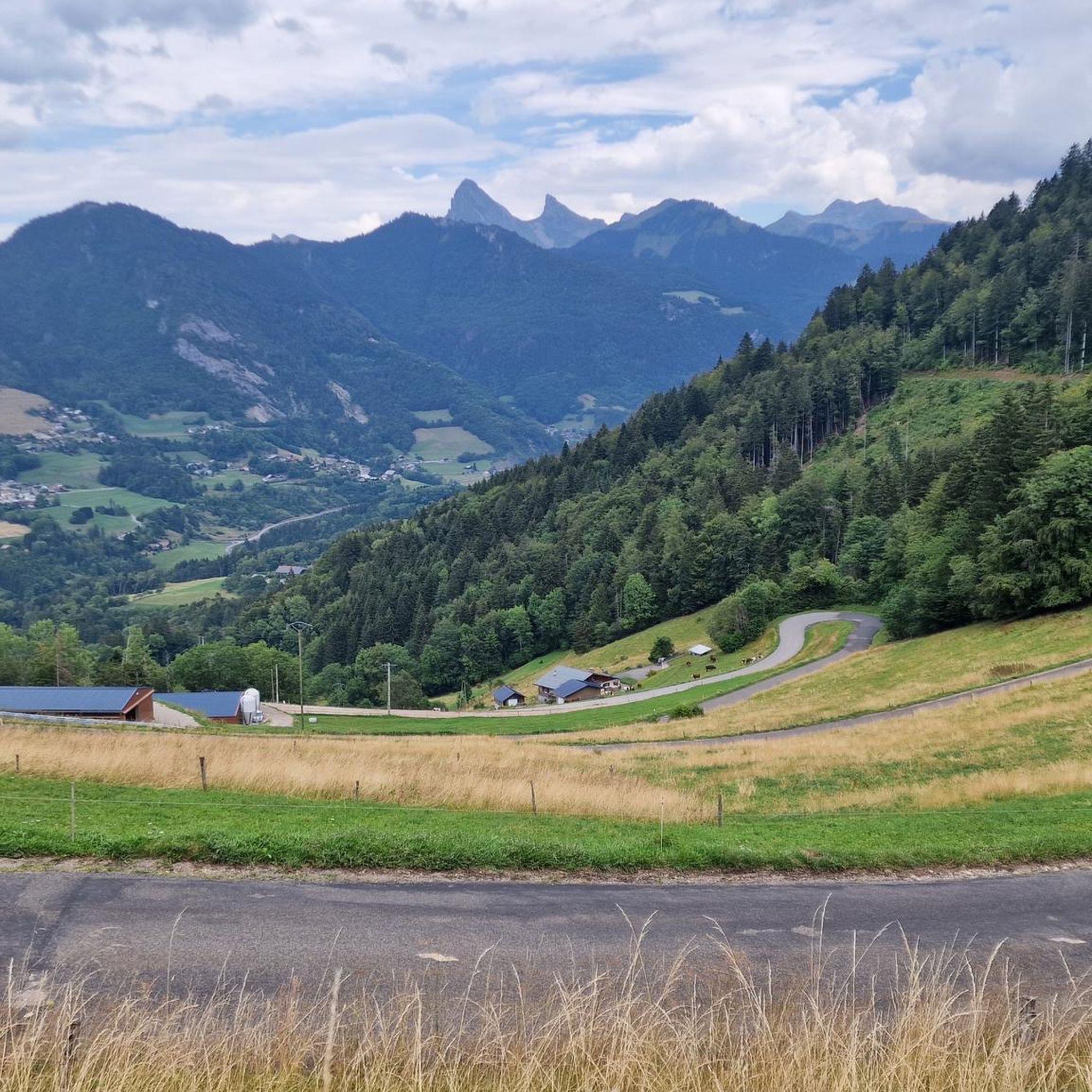
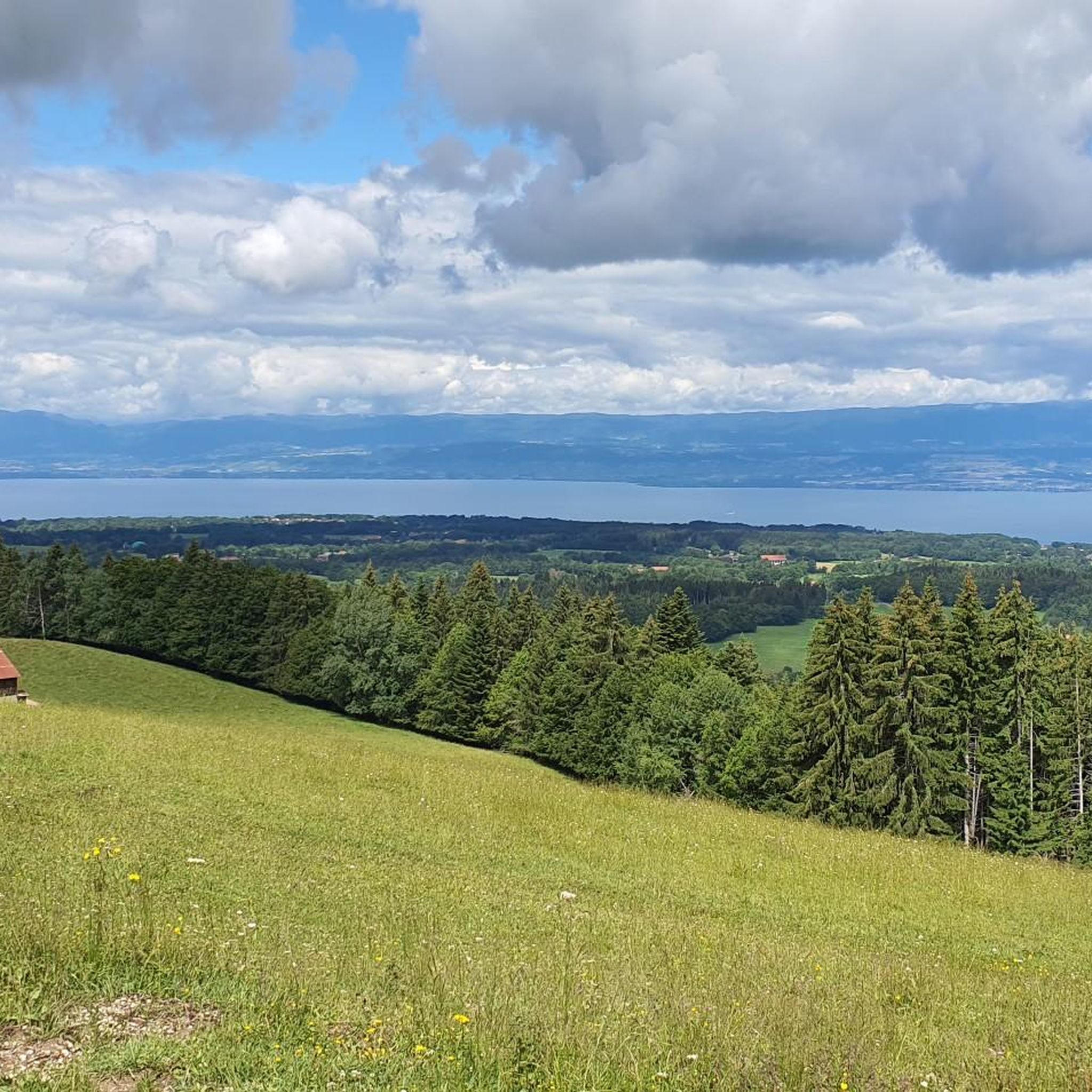
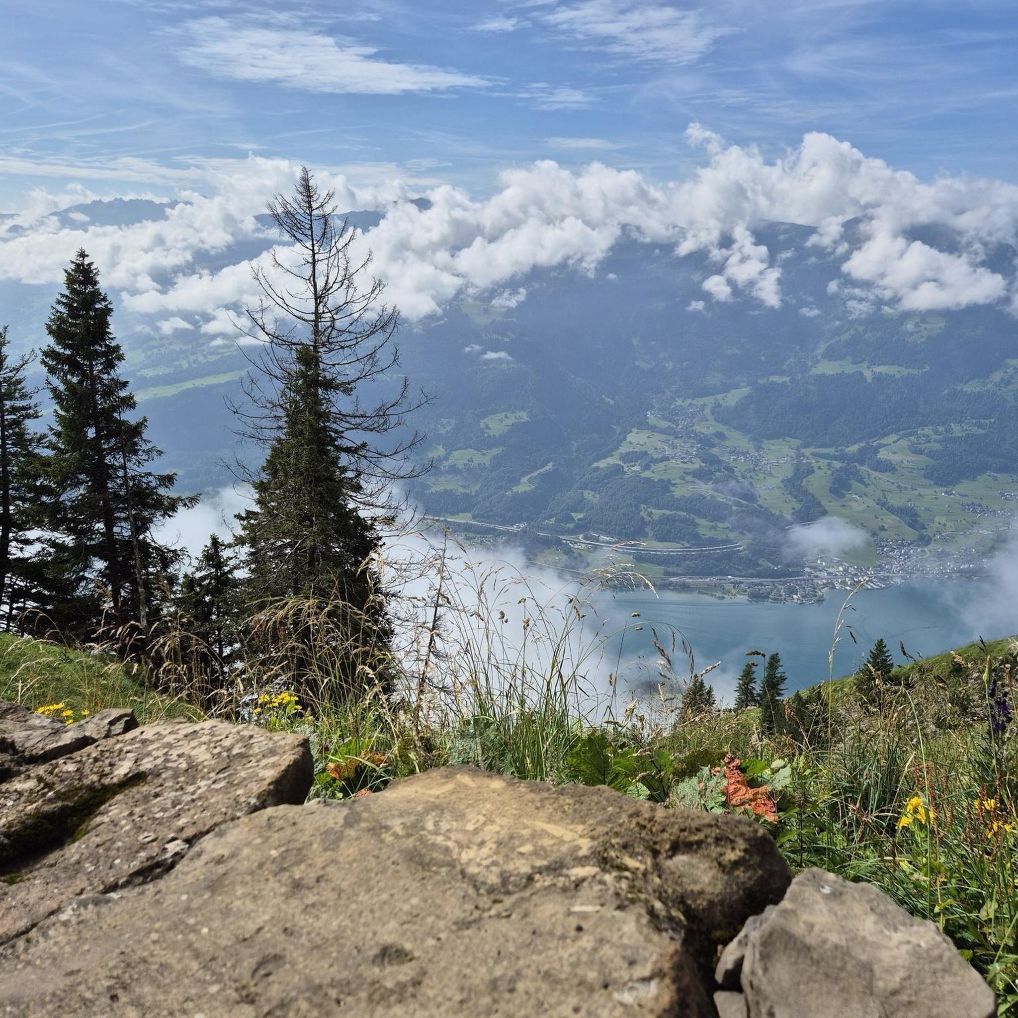
Hiking around Vinzier offers diverse landscapes, situated between Lake Geneva and the surrounding mountains of the Haute-Savoie department. The region features mountainous terrain, including the emblematic Dent d'Oche, and the agricultural Gavot plateau. Hikers can explore dramatic waterfalls and gorges, providing varied natural features. This geographical placement offers panoramic views encompassing Lake Geneva, the Chablais massif, and often Mont Blanc.
Best hiking trails around Vinzier
- The most popular hiking route is Mont Billiat Summit – The Gorges of Pont du…
Last updated: October 12, 2026
4.0
(6)
20
hikers
18.0km
07:45
1,230m
1,230m
Hard hike. Very good fitness required. Sure-footedness, sturdy shoes and alpine experience required.
4.2
(5)
23
hikers
2.81km
00:55
130m
130m
Easy hike. Great for any fitness level. Easily-accessible paths. Suitable for all skill levels.

19
hikers
7.34km
01:56
60m
70m
Easy hike. Great for any fitness level. Easily-accessible paths. Suitable for all skill levels.
3.5
(2)
49
hikers
7.90km
03:19
530m
530m
Hard hike. Good fitness required. Sure-footedness, sturdy shoes and alpine experience required.
5.0
(2)
6
hikers
5.65km
01:35
110m
110m
Easy hike. Great for any fitness level. Easily-accessible paths. Suitable for all skill levels.
Get access to more routes and recommendations from other explorers.
Already have an account?
Our route recommendations are based on thousands of hikes, rides, and runs completed by other people on komoot.
Start today with a free account
Your next adventure awaits.

Other adventures around Vinzier

Tips from the Community

Mont Billiat, starting from the chalets of La Buchille, is a hike that captivates with its authenticity and the beauty of its panoramas. The route crosses vast alpine pastures where a peaceful atmosphere reigns, before gradually gaining the slopes of the summit. Throughout the ascent, the views open up over the Brevon valley, Lake Geneva, and the Chablais mountains, offering a constantly renewed spectacle. Once at Mont Billiat, the 360° panorama is a magnificent reward, with the Mont-Blanc massif, the Swiss Alps, and the surrounding peaks revealing themselves when the weather is clear. I particularly appreciated the tranquility of this hike and the feeling of being far from the hustle and bustle, in a mountain that has remained authentic. It is an accessible but very rewarding climb, ideal for fully enjoying the beauty of the Chablais and discovering a summit that deserves to be highlighted more.
1
0
A magnificent loop that allows you to discover three summits in the area: the Quevillet (1,445 m), Mont Baron, and Tête des Trèches. From Pré Richard, the route alternates harmoniously between forest paths, alpine pastures, and pleasant ridge sections. After the Quevillet, a discreet viewpoint already offering beautiful views of Lake Geneva and the surrounding mountains, the ascent continues towards Mont Baron, before reaching the peaceful Tête des Trèches. Throughout the hike, the panoramas of Lake Geneva, the Mémises, the Dent d'Oche, and the Chablais summits are magnificent. The Tête des Trèches particularly invites contemplation and calm. A varied, accessible, and landscape-rich hike, which I recommend to all mountain lovers. For me, this outing will also remain the memory of a moment of gratitude for the beauty of creation and a beautiful day spent discovering three new summits.
0
0
A magnificent loop that allows you to discover two emblematic peaks in the area: Mont Baron and Tête des Trèches. From Pré Richard, the route alternates pleasantly between forest paths, alpine pastures, and ridge sections. The ascent is steady and without major difficulty, while the panoramas of Lake Geneva, the Mémises, the Dent d'Oche, and the peaks of the Chablais accompany the hike throughout the course. Tête des Trèches offers a particularly peaceful setting, conducive to contemplation. A varied, accessible hike rich in landscapes, which I recommend to all mountain lovers. For me, this outing will also remain the memory of a moment of gratitude for the beauty of creation and a beautiful day spent discovering two new summits.
0
0

Nice Spot! Absolutely cyclitsapproved 🫵🫰
0
1

First of all, the way down is definitely difficult for some people, as the steps vary greatly in height, and the way back down is also difficult due to their length and gradient. A truly beautiful gorge, with fantastic views and a lovely hiking trail. Unfortunately, the gorge is a bit pricey; we paid €76 for four adults and one child. For that, we were able to walk through the gorge for about an hour. You could also walk through this gorge several times without having to pay an extra fee.
1
0
A truly beautiful gorge, with fantastic views and a lovely hiking trail. Unfortunately, the gorge is a bit pricey; we paid €76 for four adults and one child. For that, we were able to walk through the gorge for about an hour. You could also walk through this gorge several times without paying any extra.
0
0


Pays de Gavot is the name of the area south of Lake Geneva, which stretches between Publier and Saint-Gingolph and encloses the Pays d'Évian Vallée d'Abondance communes. Seen from Lake Geneva, this stretch of land forms a plateau that is about 900 - 1100 m high (apart from the elevations). In terms of flow, this is also the catchment area of the Dranse, which flows into Lake Geneva. This area was essentially formed by the retreat of the Rhone glacier after the Würm glaciation, in which the glacier left sediments, moors and lakes were formed and the typical vegetation with plants appeared. This landscape is part of the Geoparc Chablais. The Chablais describes the country south of Lake Geneva, including parts of Switzerland. In the Pays de Gavot essentially only cattle breeding and dairy farming is practiced. There are significant requirements for agricultural use within a water protection area. The educational trip "Marais de Maravant" at the high school in Sait-Paul-en-Chablais shows this to some extent. It takes about 45 minutes to cover the 1.3 km.
0
0
Frequently Asked Questions
How many hiking trails are available around Vinzier?
Vinzier offers a wide variety of hiking opportunities, with over 260 routes available. These range from easy, family-friendly walks to more demanding trails for experienced hikers, ensuring options for all fitness levels.
What makes hiking in Vinzier unique?
Hiking in Vinzier is unique due to its stunning geographical location between Lake Geneva and the surrounding mountains of the Haute-Savoie. You'll find diverse landscapes, from the agricultural Gavot plateau to mountainous terrain like the Dent d'Oche, all offering breathtaking panoramic views of Lake Geneva, the Chablais massif, and often Mont Blanc on clear days.
What do other hikers enjoy most about the trails in Vinzier?
The hiking routes in Vinzier are highly rated by the komoot community, with an average score of 4.5 stars from over 1,700 reviews. Hikers frequently praise the diverse terrain, the spectacular panoramic views, and the variety of trails suitable for different skill levels.
Are there easy hiking trails suitable for families in Vinzier?
Yes, Vinzier offers several easy trails perfect for families or those seeking a gentle stroll. A great option is the La Vernaz discovery trail loop from La Vernaz, which is 1.7 miles (2.8 km) long and leads through varied local scenery, typically completed in under an hour. The Gavot plateau also provides family-friendly walks with superb views.
Are there any hikes in Vinzier that feature waterfalls or gorges?
Yes, the region around Vinzier is known for its dramatic water features. You can find trails that pass by impressive natural sites such as the Gorges of Pont du Diable and the Cascade de la Diomaz. For a challenging route that includes the gorges, consider the Mont Billiat Summit – The Gorges of Pont du Diable loop from La Vernaz.
What kind of panoramic views can I expect on hikes around Vinzier?
Hikers in Vinzier are consistently treated to magnificent panoramic views. Depending on the trail, you can expect to see the vast expanse of Lake Geneva, the majestic Chablais massif, the distant Jura mountains, and on clear days, the iconic Mont Blanc. Specific viewpoints like Champeillant are renowned for their incredible vistas.
Are there notable landmarks or natural features to explore near Vinzier?
Absolutely. Beyond the stunning mountain scenery, you can explore significant natural features like the emblematic Dent d'Oche summit, offering a magnificent 360° panorama. The area also features beautiful alpine lakes such as Lac d'Anterne and Lac Darbon, and various mountain passes like Col du Corbier (1230 m) and Col du Feu.
Are there circular hiking routes available in Vinzier?
Yes, many of the trails around Vinzier are designed as loops, allowing you to start and end at the same point. Examples include the easy La Vernaz discovery trail loop from La Vernaz and the moderate View from Pointe de Sangeon – Tréchauffé Chalets loop from La Forclaz.
What is the best time of year to go hiking in Vinzier?
The best time for hiking in Vinzier generally spans from late spring through early autumn (May to October), when the weather is mild, and trails are clear of snow. Summer offers the warmest temperatures, while spring and autumn provide beautiful flora and fall foliage, respectively. Some lower-elevation trails may be accessible in winter, but higher mountain routes require specific gear and experience due to snow and ice.
Are the hiking trails in Vinzier dog-friendly?
Many trails in the Vinzier region are dog-friendly, allowing you to enjoy the beautiful scenery with your canine companion. However, it's always recommended to check specific trail regulations, especially in protected areas or near livestock, and to keep your dog on a leash where required.
Are there options for longer, more challenging hikes in Vinzier?
For experienced hikers seeking a challenge, Vinzier offers demanding routes. The ascent to the Dent d'Oche is a difficult but highly rewarding option. The region also lies near long-distance trails like the GR des Balcons du Léman and the renowned GR5, providing opportunities for multi-day adventures.
Can I find hikes with moderate difficulty around Vinzier?
Yes, there are numerous moderate trails perfect for those with a reasonable level of fitness. A popular choice is the View from Pointe de Sangeon – Tréchauffé Chalets loop from La Forclaz, a 5.8-mile (9.4 km) path that offers expansive views and leads through scenic chalets.
Most popular routes around Vinzier
Most popular attractions around Vinzier

Get inspired with the komoot mobile app


Explore more
Browse the best Hikes in other regions.
