The best walks and hikes around Neuvillalais
4.1
(167)
1,322
hikers
45
hikes
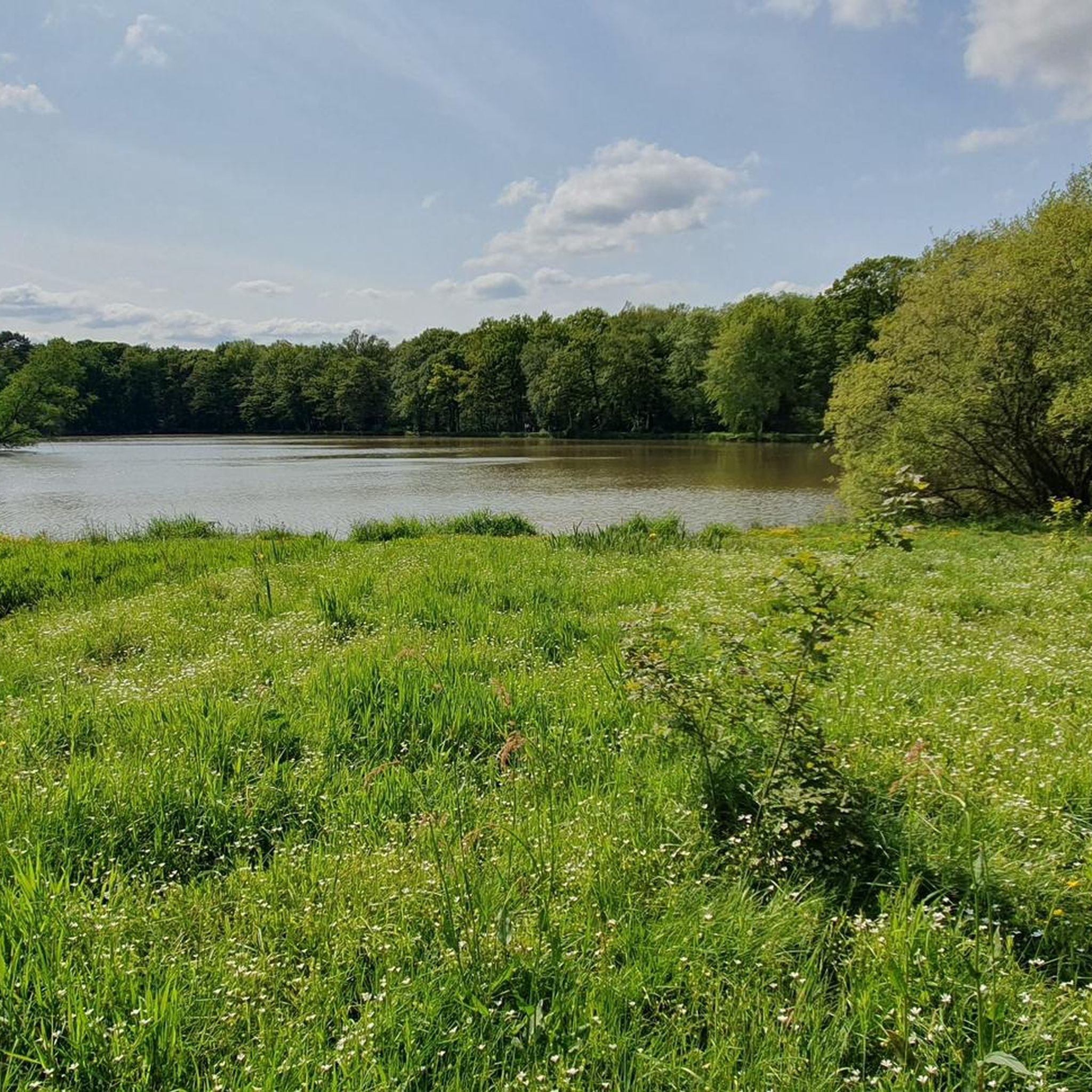
Hiking around Neuvillalais offers exploration of a rural commune in France's Sarthe department, characterized by varied terrain. The landscape features gentle plains, rolling hills to the west, and numerous small streams, including the Longuève stream in the north. A distinctive geographical feature is the Greenwich Meridian, visibly marked through the village center. The area also presents historical elements like 19th-century lavoirs and architecture built from local Roussard sandstone.
Best hiking trails around Neuvillalais
- The most popular hiking route is Sillé-le-Guillaume…
Last updated: July 4, 2026
4.0
(2)
10
hikers
5.35km
01:29
100m
100m
Easy hike. Great for any fitness level. Easily-accessible paths. Suitable for all skill levels.
4.0
(2)
25
hikers
7.87km
02:10
140m
140m
Moderate hike. Good fitness required. Easily-accessible paths. Suitable for all skill levels.

Sign up for free
4.3
(3)
26
hikers
7.89km
02:12
150m
150m
Moderate hike. Good fitness required. Easily-accessible paths. Suitable for all skill levels.
4.5
(2)
8
hikers
5.22km
01:26
80m
80m
Easy hike. Great for any fitness level. Easily-accessible paths. Suitable for all skill levels.
4.0
(1)
5
hikers
Easy hike. Great for any fitness level. Easily-accessible paths. Suitable for all skill levels.
Get access to more routes and recommendations from other explorers.
Sign up for free
Already have an account?
Our route recommendations are based on thousands of hikes, rides, and runs completed by other people on komoot.
Start today with a free account
Your next adventure awaits.
Login or Signup



Tips from the Community

A quiet and easy to walk hiking trail.
1
0

The castle of Sillé-le-Guillaume is a medieval castle open to the public and organizes visits and events throughout the year.
2
0
Frequently Asked Questions
How many hiking trails are available around Neuvillalais?
There are over 45 hiking routes in the Neuvillalais area, catering to various skill levels. You'll find a good mix, with 15 easy trails, 29 moderate options, and 1 more challenging route for experienced hikers.
What kind of landscapes can I expect to see while hiking near Neuvillalais?
The region around Neuvillalais offers a diverse landscape, characterized by gentle plains and rolling hills, especially to the west. You'll also encounter numerous small streams, including the Longuève stream in the north. The broader Sarthe department, where Neuvillalais is located, is known for its extensive forests like the Forêt de Perseigne and Forêt d'Écouves, and the more rugged terrain of the Alpes Mancelles with its bocage and river valleys.
Are there any family-friendly hiking options in Neuvillalais?
Yes, Neuvillalais offers several easy trails suitable for families. A great option is the Sillé-le-Guillaume Discovery Trail, an easy 5.35 km path that provides a gentle introduction to the local scenery. Another easy choice is the New Pond – The Grand Pond of Sillé loop from Camping Huttopia Lac de Sillé, which is just under 4.5 km.
What are some notable natural attractions or landmarks to look out for on hikes?
Beyond the varied terrain, Neuvillalais is uniquely marked by the Greenwich Meridian, which passes visibly through the village center. Nearby, you can explore natural features like The Grand Pond of Sillé and Aulnes Pond. The broader region also features the scenic Col de la Source and historical elements like 19th-century lavoirs and architecture built from local Roussard sandstone.
Are there any circular walks available near Neuvillalais?
Yes, many of the trails around Neuvillalais are circular, offering convenient starting and ending points. Popular loop trails include the moderate Maquère-les-Calonnes loop from La Godinière, which covers about 7.87 km, and the similar Maquère-les-Calonnes loop from La Chapelle-Saint-Fray, at 7.89 km.
What is the best time of year to go hiking in the Neuvillalais region?
The Pays de la Loire region, including Neuvillalais, generally offers pleasant hiking conditions from spring through autumn. Spring brings blooming landscapes, while autumn showcases beautiful foliage in the nearby forests. Summers are typically warm and suitable for shaded forest walks. Always check local weather forecasts before heading out.
Are there any longer or more challenging hikes for experienced trekkers?
For those seeking a more demanding adventure, the Neuvillalais area offers a difficult 24.19 km route: the Jouteau Pond – The Grand Pond of Sillé loop from Montreuil-le-Chétif. This trail involves significant elevation gain and takes approximately 6 hours and 30 minutes to complete, providing a thorough exploration of the diverse landscapes.
What do other hikers say about the trails in Neuvillalais?
The hiking routes in Neuvillalais are highly regarded by the komoot community, with an average rating of 4.3 stars from over 150 reviews. Hikers often praise the varied terrain, from gentle plains to rolling hills, and the well-maintained paths that make for an enjoyable outdoor experience.
Is public transport available to reach hiking trailheads near Neuvillalais?
While Neuvillalais is a rural commune, public transport options to specific trailheads might be limited. It's generally recommended to use a car for flexibility, especially when accessing trails further afield in the Alpes Mancelles or other forest areas. For detailed information on public transport to the broader Alpes Mancelles region, you may need to consult local transport services.
Where can I find parking for hiking trails in Neuvillalais?
Parking availability varies by trailhead. For routes starting from villages or specific attractions, designated parking areas are often available. For example, trails like the New Pond – The Grand Pond of Sillé loop from Camping Huttopia Lac de Sillé likely have parking facilities near the camping site. It's advisable to check the specific route details on komoot for parking recommendations at your chosen starting point.
Are there any historical sites or cultural points of interest along the trails?
Beyond the natural beauty, Neuvillalais features historical elements such as 19th-century lavoirs (public washhouses) and architecture built from local Roussard sandstone, which you might encounter in the villages or along the paths. The nearby town of Beaumont-sur-Sarthe also boasts a notable Roman Bridge, adding a touch of ancient history to your exploration.
Most popular routes around Neuvillalais
Most popular attractions around Neuvillalais

Get inspired with the komoot mobile app


Explore more
Browse the best Hikes in other regions.
