The best walks and hikes around Fillinges
4.6
(614)
5,899
hikers
13
hikes
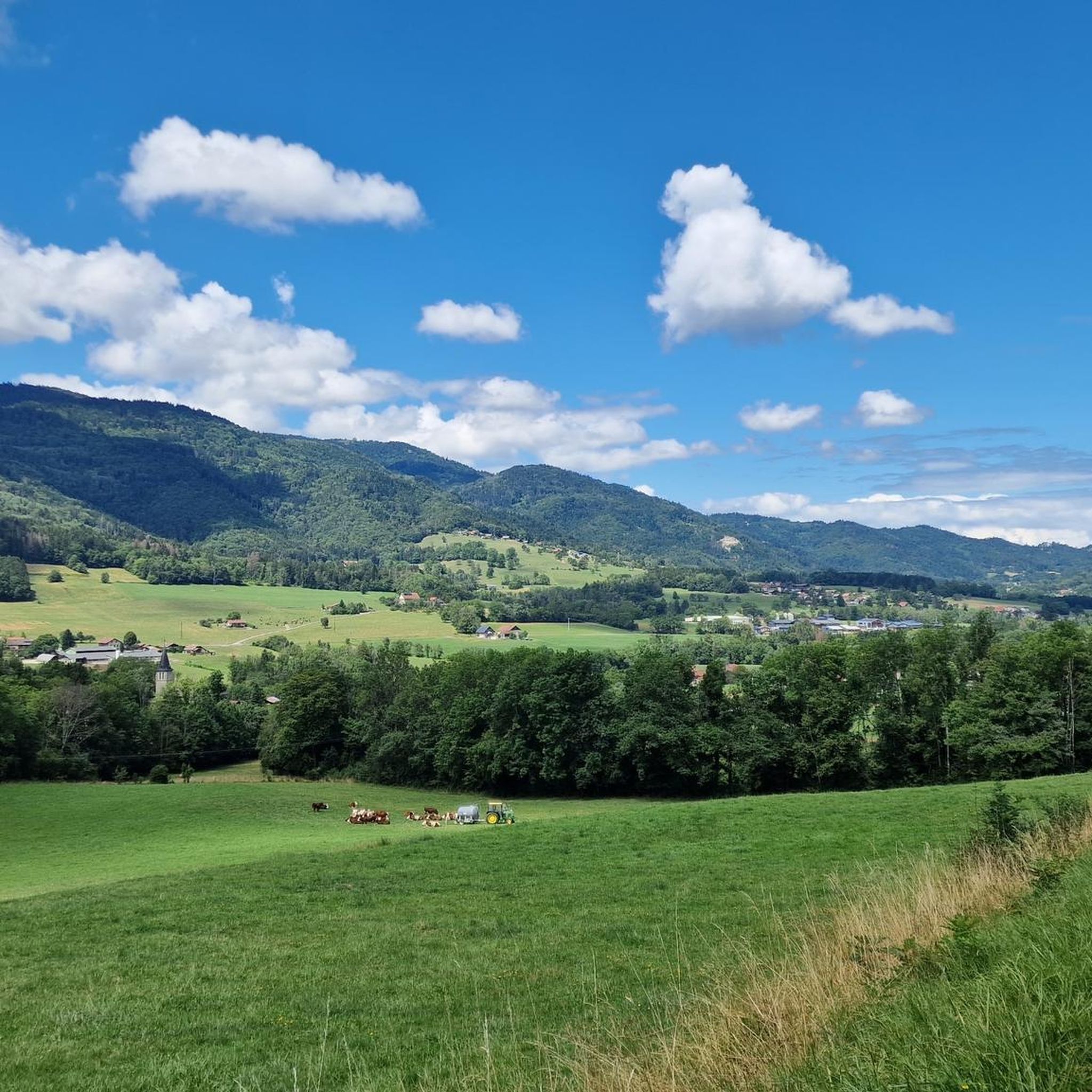
Hiking around Fillinges offers diverse terrain, including forests, riverbanks, plains, and mountainous areas. The region is characterized by its proximity to the distinctive Môle Mountain, which provides panoramic views of the Alpine chain and Lake Geneva. Natural features like the Cascade de la Diomaz and access to the Aravis mountain range via Col de la Colombière contribute to varied hiking experiences. These natural features provide a range of landscapes for exploration.
Best hiking trails around Fillinges
- The most popular hiking…
Last updated: July 9, 2026
4.5
(11)
41
hikers
8.92km
02:18
50m
50m
Moderate hike. Good fitness required. Easily-accessible paths. Suitable for all skill levels.
5.0
(1)
17
hikers
Moderate hike. Good fitness required. Mostly accessible paths. Sure-footedness required.

Sign up for free
4.0
(1)
11
hikers
21.7km
07:21
1,100m
1,100m
Hard hike. Very good fitness required. Easily-accessible paths. Suitable for all skill levels.
5.0
(2)
5
hikers
6.00km
01:56
270m
270m
Easy hike. Great for any fitness level. Easily-accessible paths. Suitable for all skill levels.
5.0
(1)
9
hikers
6.38km
02:12
350m
350m
Moderate hike. Good fitness required. Easily-accessible paths. Suitable for all skill levels.
Get access to more routes and recommendations from other explorers.
Sign up for free
Already have an account?
Our route recommendations are based on thousands of hikes, rides, and runs completed by other people on komoot.
Start today with a free account
Your next adventure awaits.
Login or Signup

Tips from the Community

Impressive views and good trails.
1
0


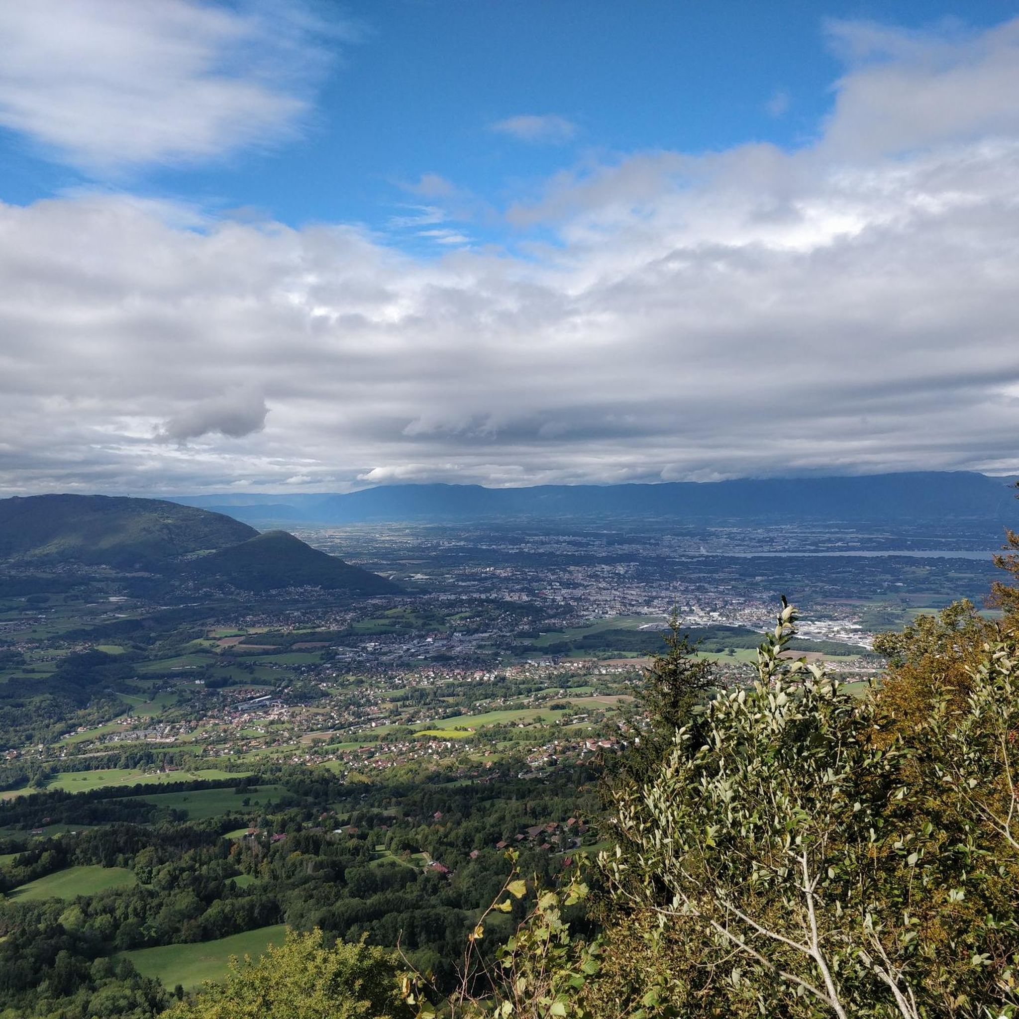
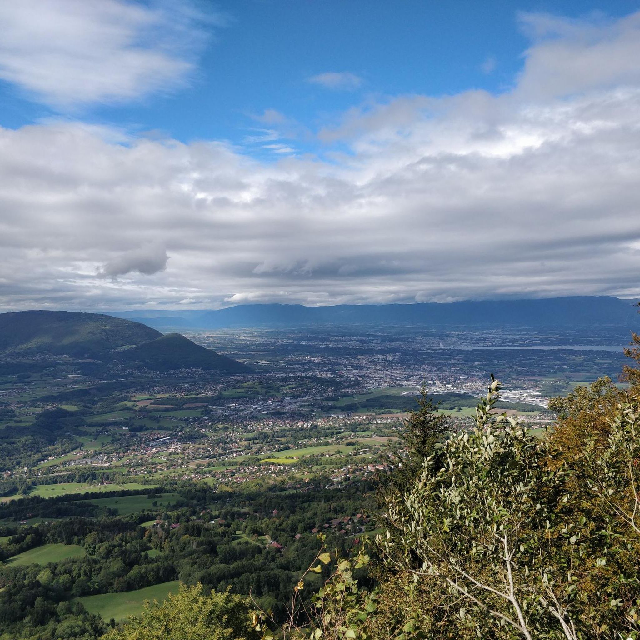
Beautiful view of the Mont Blanc massif
0
0

An interesting hike with varied passages in terms of path types, a beautiful view once on the ridge (Annemasse region, Geneva, the Lake, etc.) the uphill section is short but steep, a pleasant surprise from this route that I didn't know, a nice alternative to Salève for a hike in the area.
0
0

The Voirons signal, culminating at 1,485 meters, offers an exceptional panorama of the Alps, the Jura, and on a clear day, Mont Blanc. Accessible through the Voirons forest, this viewpoint is worth it, but the reward is breathtaking. The trails wind between fir trees and beech trees, offering glimpses of the Geneva Valley and the lake below. Perfect for a contemplative break, it is a popular site for mountain bikers and nature lovers.
6
0


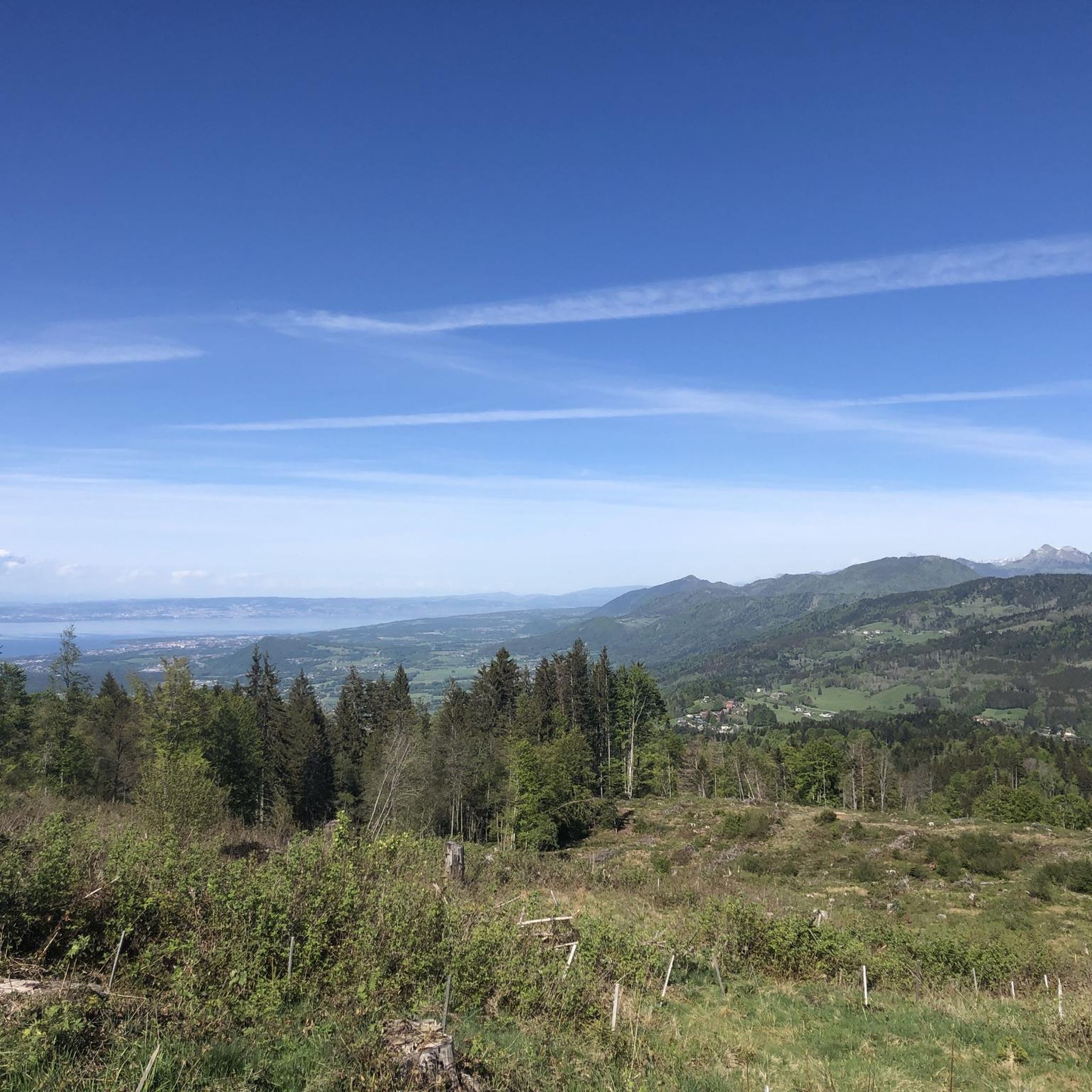
One of the best benches in Haute-Savoie! Magnificent view, in the shade with space and little passing cars on the road behind. A must-do in the area; ) !
0
0

Frequently Asked Questions
How many hiking trails are there around Fillinges, and what are their difficulty levels?
There are over 10 hiking trails around Fillinges. The routes cater to various skill levels, with 3 easy trails, 6 moderate trails, and 2 more challenging routes for experienced hikers.
Are there family-friendly hiking options near Fillinges?
Yes, Fillinges offers several easy trails suitable for families. For instance, the Hiking loop from Fillinges is an easy 3.7-mile (6.0 km) route that takes less than two hours, offering pleasant views of the surrounding peaks. Another good option is the Hiking loop from Les Champes.
Can I find circular hiking routes in Fillinges?
Many of the trails around Fillinges are circular, allowing you to start and end at the same point. Popular circular routes include the Hiking loop from Fillinges, the Notre Dame du Pralère loop from Buisson Rond, and The Meulière Cave – Millstone quarries at Vachat loop from Fillinges.
Are there any waterfalls or unique natural features to see on hikes?
Absolutely. The region is home to beautiful natural features. The Cascade de la Diomaz, with its multiple cascades and natural rock pools, is a notable highlight. You can also find the Cascade du Dard, another charming waterfall, along some routes.
What are the best viewpoints or landmarks to look out for on hikes around Fillinges?
Hikes around Fillinges offer stunning panoramic views. The distinctive Môle Mountain provides 360-degree vistas encompassing the entire Alpine chain, Lake Geneva, and the Jura mountains. You can also find the Le Môle summit cross. Other notable points include the Signal of the Voirons and various passes like Col de Saxel and Col de Réray.
What do other hikers enjoy most about hiking in Fillinges?
The hiking trails in Fillinges are highly rated by the komoot community, with an average score of 4.6 stars from over 500 reviews. Hikers often praise the diverse terrain, which includes forests, riverbanks, and mountainous areas, as well as the spectacular views of the Môle and Aravis peaks.
Are there any historical or geological points of interest along the trails?
Yes, some routes offer glimpses into the region's history and geology. For example, The Meulière Cave – Millstone quarries at Vachat loop from Fillinges leads you through wooded areas and past historical millstone quarries, offering a unique blend of nature and heritage.
What kind of terrain can I expect on hikes in Fillinges?
The terrain around Fillinges is quite varied, ranging from gentle paths along riverbanks and through plains to more challenging ascents in mountainous areas. You'll encounter forests, open fields, and rocky sections, providing a diverse hiking experience.
Are there any lakes or bodies of water accessible via hiking trails?
While Fillinges itself is not directly on a large lake, some trails might lead to smaller water features. The La Gouille aux Morts is a local lake that can be explored. Additionally, the region's proximity to Lake Annecy (approximately 33km away) means stunning lake views are accessible with a short drive.
What are some of the more challenging hikes for experienced adventurers?
For experienced hikers seeking a challenge, the Roc d'Enfer presents a demanding adventure, often involving ridge walks and sections equipped with chains. This hike rewards with expansive views of Mont Blanc and Lac Léman.
Is there public transport available to reach hiking trailheads in Fillinges?
While specific public transport details to individual trailheads can vary, Fillinges is generally accessible. It's advisable to check local bus schedules for routes connecting to the village center or nearby hamlets, which can serve as starting points for many hikes.
Where can I find parking for hikes in Fillinges?
Parking is generally available in and around Fillinges, particularly near the village center or designated starting points for popular trails. It's recommended to check specific route descriptions or local signage for the most convenient parking areas for your chosen hike.
Most popular routes around Fillinges
Most popular attractions around Fillinges

Get inspired with the komoot mobile app


Explore more
Browse the best Hikes in other regions.
