The best road cycling routes around Saint-Galmier
4.2
(199)
5,673
riders
19
rides
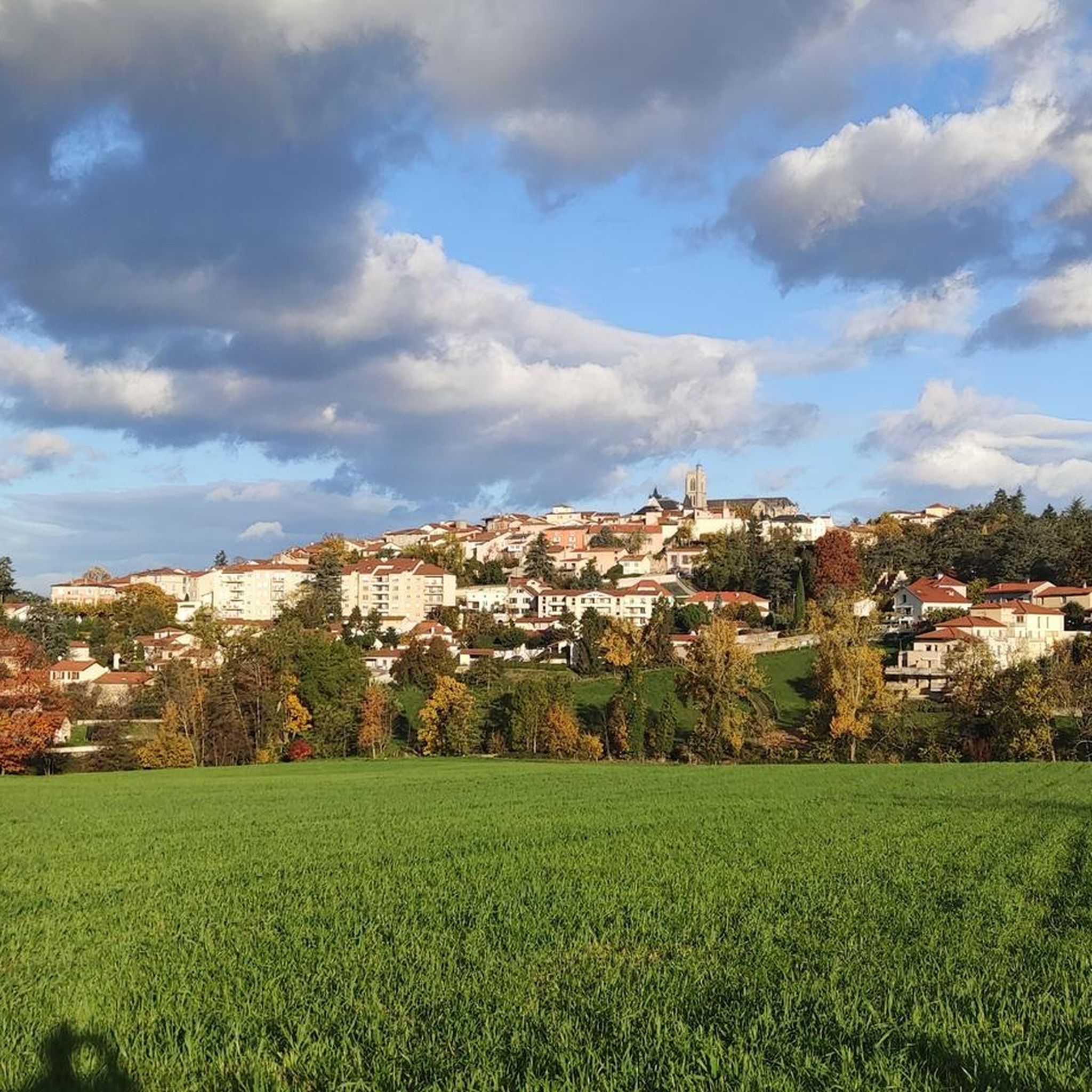
Road cycling routes around Saint-Galmier traverse the western foothills of the Mounts du Lyonnais and the bordering Forez plain. The terrain features varied elevations, ranging from 357 to 551 meters, offering both flat sections and challenging ascents. The region is characterized by the Coise River valley, extensive woods like Vernay and Fontford, and open countryside. Cyclists can experience diverse landscapes, from riverbanks to panoramic views over the Forez plain.
Best road cycling routes around Saint-Galmier
- The most popular road cycling…
Last updated: July 11, 2026
4.3
(9)
129
riders
56.2km
03:00
960m
960m
Hard road ride. Very good fitness required. Some segments of this route may be unpaved and difficult to ride.
4.3
(3)
47
riders
45.0km
02:22
760m
770m
Moderate road ride. Good fitness required. Some segments of this route may be unpaved and difficult to ride.

Sign up for free
3.3
(3)
46
riders
36.3km
01:46
510m
510m
Moderate road ride. Good fitness required. Mostly well-paved surfaces and easy to ride.
42
riders
66.9km
03:27
1,160m
1,160m
Hard road ride. Very good fitness required. Mostly well-paved surfaces and easy to ride.
4.0
(2)
21
riders
73.0km
03:46
1,310m
1,310m
Hard road ride. Very good fitness required. Mostly well-paved surfaces and easy to ride.
Get access to more routes and recommendations from other explorers.
Sign up for free
Already have an account?
Our route recommendations are based on thousands of hikes, rides, and runs completed by other people on komoot.
Start today with a free account
Your next adventure awaits.
Login or Signup



Tips from the Community

on the watershed between the ocean and the Mediterranean
0
0

Superb Alley at the entrance to Chatelus. Like a guard of honor to encourage you…
0
0

The oldest parts date from the 15th century.
0
0
Superb view of the Monts du Lyonnais before descending towards Aubépin.
0
0
Crêt Malherbe, the highest point of the Monts du Lyonnais at 946 m above sea level, is on the left.
0
0
Quiet crossroads suitable for a short break.
0
0

The Col de la Gachet from Lorette is 11.04 km long with a total drop of 463 m. The average gradient is 4.19% with maximum gradients of 7.6%.
1
0

Dam on the Vérut river, which forms a pleasant small reservoir. Shaded area and picnic tables.
1
0
Frequently Asked Questions
What kind of road cycling routes can I expect around Saint-Galmier?
The region around Saint-Galmier offers a diverse range of road cycling routes. You'll find everything from gentle rides along riverbanks and through open countryside to more challenging ascents in the foothills of the Monts du Lyonnais. There are approximately 45 easy routes, 198 moderate routes, and 81 difficult routes, ensuring options for various fitness levels.
Are there challenging road cycling routes for experienced riders?
Yes, experienced riders will find plenty of challenging routes, particularly those venturing into the Monts du Lyonnais. For example, the View of the Monts du Lyonnais – Rhône Department Boundary loop from Saint-Galmier is a difficult 57.4 km path with significant elevation gain, offering panoramic views.
Are there family-friendly road cycling routes in Saint-Galmier?
Yes, Saint-Galmier offers routes suitable for families and less experienced cyclists. You can find easier paths that follow the tranquil banks of the Coise River or explore the town's well-maintained floral areas. These routes often feature gentler terrain and lower elevation gains, perfect for a relaxed ride.
What natural features or attractions can I see along the road cycling routes?
Road cycling routes around Saint-Galmier often pass through diverse natural spaces. You might cycle near the tranquil Coise River, the serene étangs (ponds) area, or through forested sections like Bois Barou and Bois du Vernay. The nearby Monts du Lyonnais also provide stunning backdrops and elevated views. You can also explore highlights like the Gimond Dam.
Are there any historical or cultural landmarks to explore while cycling?
Absolutely. Many routes offer glimpses of the region's rich history. You can cycle past the historic Montrond-les-Bains Castle, or explore Saint-Galmier itself, known for its flamboyant Gothic church and remnants of 14th-century ramparts. The town is also famous for the Badoit water source, where you can see the facade of the historic factory.
When is the best time of year for road cycling in Saint-Galmier?
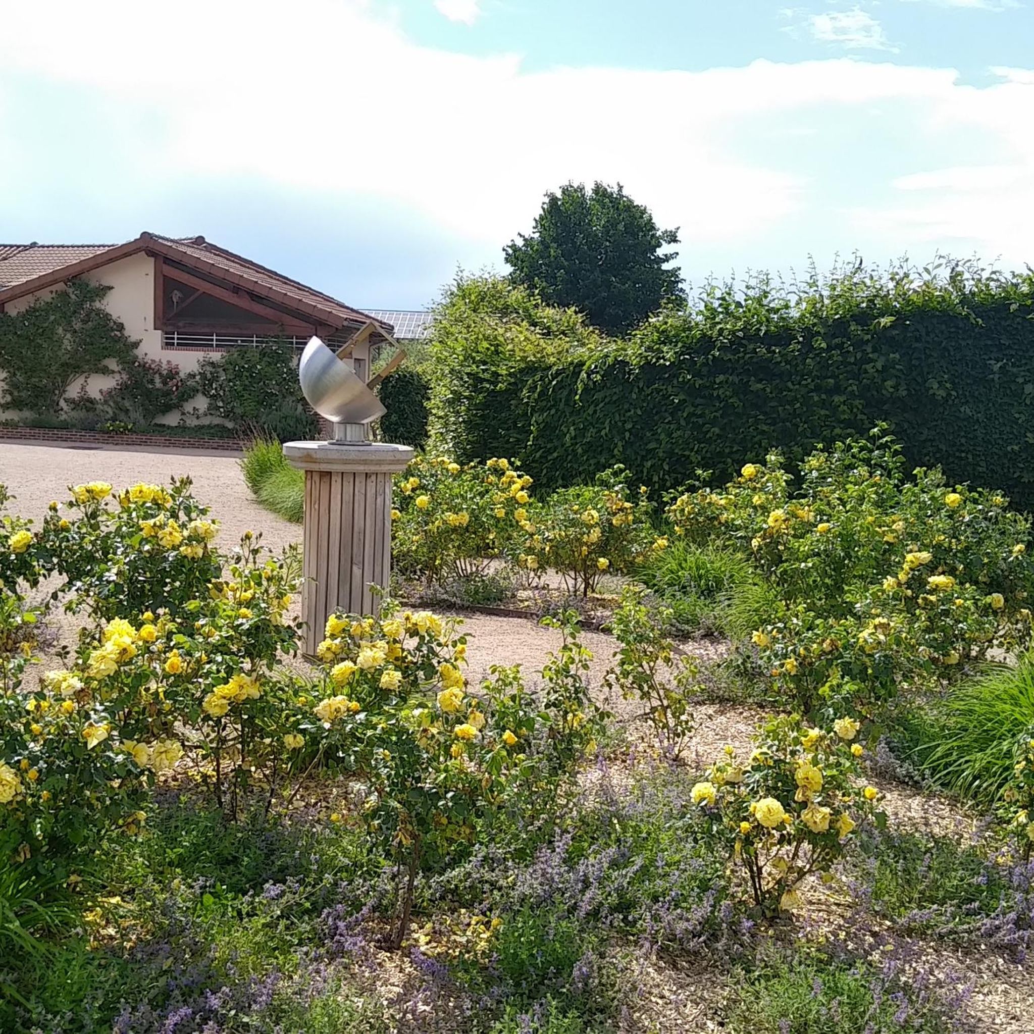
Saint-Galmier is a 'Ville 4 fleurs,' indicating its abundant floral areas, making spring and summer particularly pleasant for cycling. The region's natural beauty is at its peak, and the weather is generally favorable for outdoor activities. However, the diverse terrain means cycling can be enjoyed throughout much of the year, depending on weather conditions.
Are there circular road cycling routes available?
Yes, many of the road cycling routes around Saint-Galmier are designed as loops, allowing you to start and finish in the same location. An example is the Roadbike loop from Saint-Galmier, a 23.9 km trail through the local countryside.
What do other road cyclists enjoy the most about road cycling in Saint-Galmier?
The komoot community highly rates road cycling in Saint-Galmier, with an average score of 4.1 stars from over 160 reviews. Cyclists often praise the varied terrain, from the rolling hills and river valleys to the challenging climbs of the Monts du Lyonnais, as well as the scenic views and well-maintained paths.
Can I find cafes or places to eat near the road cycling routes?
Saint-Galmier and the surrounding towns like Montrond-les-Bains offer various cafes and restaurants where you can refuel. Many routes pass through or near these settlements, providing convenient stops for a coffee or a meal.
Is parking available for road cyclists near the routes?
Yes, parking is generally available in Saint-Galmier and other starting points for the routes. Many cyclists choose to park in town centers or designated parking areas before embarking on their rides, especially for routes that begin and end in the same location.
How many road cycling routes are there in total around Saint-Galmier?
There are over 300 road cycling routes available around Saint-Galmier, offering a wide selection for all skill levels and preferences. This extensive network ensures you can always find a new adventure.
What is a popular moderate road cycling route in the area?
A popular moderate route is the Small bridge over the Toranche loop from Saint-Galmier. This 42.9 km route offers a balanced challenge with moderate elevation gains, taking you through scenic countryside.
Most popular routes around Saint-Galmier
Most popular attractions around Saint-Galmier

Get inspired with the komoot mobile app


Explore more
Browse the best Road cycling routes in other regions.
