The best road cycling routes around Saint-Antoine
4.3
(88)
2,920
riders
104
rides
Road cycling around Saint-Antoine offers routes through the varied landscapes of the Isère department in France. The region is characterized by the rolling hills of Chambaran and the lower Isère valley, featuring verdant terrain and majestic walnut trees. Proximity to the Vercors Massif provides opportunities for more challenging rides with significant elevation gains. The area's road cycling routes often feature mostly paved surfaces, catering to enthusiasts seeking engaging and scenic paths.
Best road cycling routes around Saint-Antoine
- The most popular…
Last updated: July 11, 2026
4.7
(3)
107
riders
113km
05:21
1,390m
1,390m
Hard road ride. Very good fitness required. Mostly well-paved surfaces and easy to ride.
4.8
(13)
322
riders
Moderate road ride. Good fitness required. Mostly well-paved surfaces and easy to ride.

Sign up for free
3.8
(5)
137
riders
46.4km
01:59
370m
370m
Moderate road ride. Good fitness required. Mostly well-paved surfaces and easy to ride.
4.8
(12)
200
riders
59.4km
02:45
640m
640m
Moderate road ride. Good fitness required. Mostly well-paved surfaces and easy to ride.
4.3
(3)
67
riders
65.7km
02:54
630m
630m
Moderate road ride. Good fitness required. Mostly well-paved surfaces and easy to ride.
Get access to more routes and recommendations from other explorers.
Sign up for free
Already have an account?
Our route recommendations are based on thousands of hikes, rides, and runs completed by other people on komoot.
Start today with a free account
Your next adventure awaits.
Login or Signup
Tips from the Community


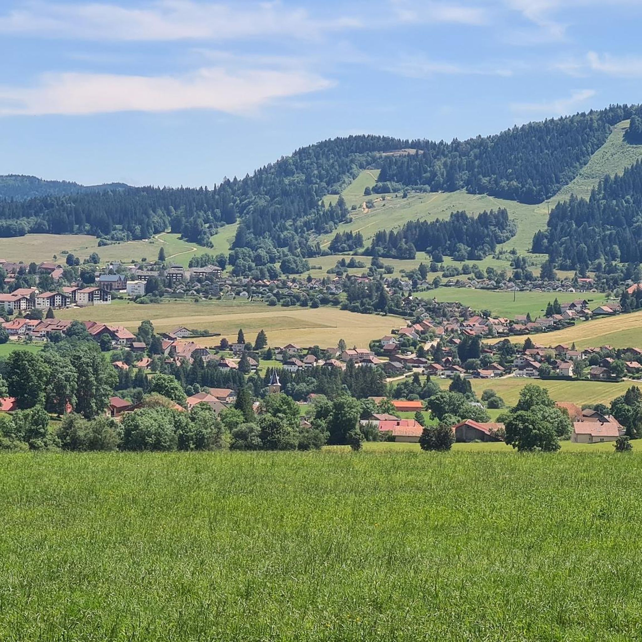
Beautiful section of road along a wood.
0
0

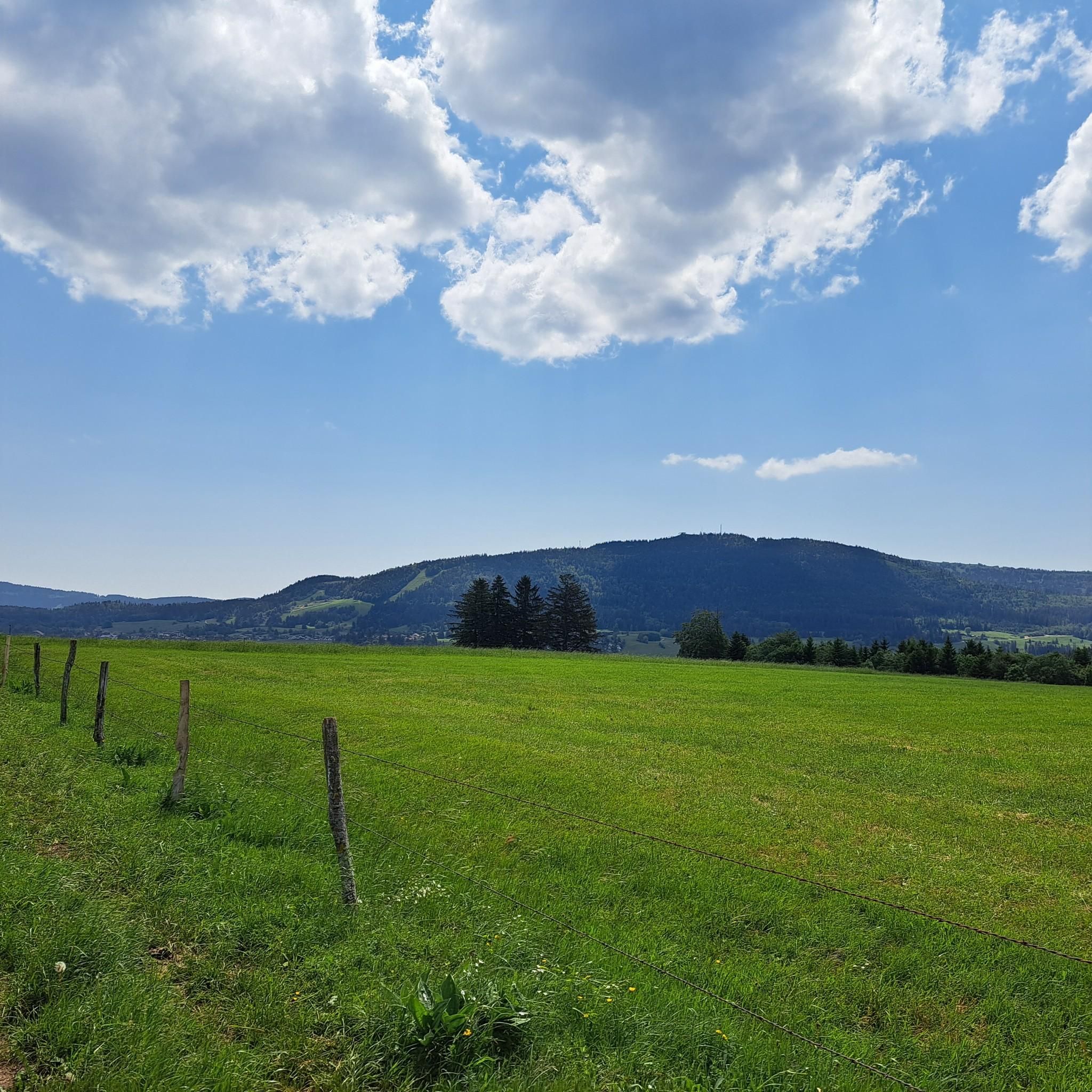
Very nice view of the Doubs marsh between the Lac de Remoray and the Lac de Saint-Point. In the background you can see the Grand Taureau mountain
5
0


The Col de Landoz-Neuve is a small border pass which connects the Vallée de Joux CH with the Val de Mouthe F.
0
0

Frequently Asked Questions
How many road cycling routes are available around Saint-Antoine?
There are over 100 road cycling routes around Saint-Antoine, offering a diverse range of experiences from easy rides through the Isère valley to challenging ascents towards the Vercors Massif.
Are there road cycling routes suitable for beginners or families in Saint-Antoine?
Yes, Saint-Antoine offers 13 easy road cycling routes that are suitable for beginners or families. These routes typically feature less elevation gain and cover shorter distances, allowing for a more relaxed experience through the scenic rolling hills and verdant landscapes.
What kind of terrain can I expect on road cycling routes in Saint-Antoine?
The region around Saint-Antoine is characterized by the rolling hills of Chambaran and the lower Isère valley, featuring mostly paved surfaces. You'll encounter varied terrain, from gentle slopes perfect for leisurely rides to significant elevation gains as you approach the Vercors Massif, offering challenging climbs and breathtaking views.
Are there any long-distance road cycling routes in the Saint-Antoine area?
Yes, for those seeking longer distances, routes like La vallée de Joux — loop from Métabief cover over 110 km with substantial elevation, providing a full day's challenge. Another option is Chemin du Train near Doubs – Bridge over the Doubs loop from Coni'fer, which is also over 110 km.
What are some scenic viewpoints or natural features to look out for on road cycling routes?
Many routes offer views of the picturesque rolling hills of Chambaran and the lower Isère valley, often dotted with majestic walnut trees. You can also find routes with views of beautiful lakes, such as Lac de Saint-Point, which is featured on routes like View of Lac de St-Point – View of Lac de Saint-Point loop from Fourcatier-et-Maison-Neuve.
Are there any loop road cycling routes available in Saint-Antoine?
Yes, many road cycling routes around Saint-Antoine are designed as loops, allowing you to start and finish in the same location. Examples include View of Lac de Saint-Point – View of Lac de St-Point loop from Coni'fer and View of Lac de Remoray – Mouthe loop from Coni'fer, which offer circular journeys through the local countryside.
What historical or cultural attractions can I explore near the road cycling routes?
Saint-Antoine-l'Abbaye itself is a designated Historic Monument and one of the 'Most Beautiful Villages of France'. You can visit the stunning Gothic Saint-Antoine Abbey Church, explore the medieval village with its half-timbered houses, or learn about local history at the Musée de Saint-Antoine-l'Abbaye. These attractions are easily accessible from many cycling routes.
What is the best time of year for road biking in Saint-Antoine?
The region is generally pleasant for road cycling from spring through autumn. The verdant hills are particularly beautiful in spring and early summer. While winter cycling is possible, it's advisable to check weather conditions, especially for routes with higher elevations or those closer to the Vercors Massif, which may experience colder temperatures.
What do other road cyclists enjoy most about road cycling in Saint-Antoine?
The area is highly rated by the komoot community, with an average score of 4.1 stars from over 70 reviews. Cyclists often praise the varied terrain, from the engaging rolling hills of Chambaran to the challenging ascents towards the Vercors, as well as the scenic beauty of the Isère valley and the well-maintained paved surfaces.
Are there challenging road cycling routes with significant elevation gains?
Absolutely. Saint-Antoine is known as a 'Gothic gateway to the Vercors,' and its proximity to the Vercors Massif provides opportunities for challenging rides. Routes like La vallée de Joux — loop from Métabief feature over 1,390 meters of elevation gain, catering to advanced cyclists seeking demanding climbs and rewarding views.
Can I find road cycling routes that pass by lakes or other water features?
Yes, several routes offer views of beautiful lakes. For instance, the View of Lac de St-Point – View of Lac de Saint-Point loop from Fourcatier-et-Maison-Neuve and View of Lac de Saint-Point – View of Lac de St-Point loop from Coni'fer routes provide scenic vistas of Lac de Saint-Point, making for a refreshing ride.
Are there any specific landmarks or points of interest along the road cycling routes?
Beyond the village of Saint-Antoine-l'Abbaye itself, you might encounter natural landmarks such as Dent de Vaulion or Mont d'Or. Some routes also pass by interesting structures like the Railroad viaduct from Day.
Most popular routes around Saint-Antoine
Most popular attractions around Saint-Antoine

Get inspired with the komoot mobile app


Explore more
Browse the best Road cycling routes in other regions.
