The best road cycling routes around Plancherine
4.6
(490)
19,502
riders
100
rides
Road cycling routes around Plancherine traverse a diverse Alpine landscape within the Savoie department, offering varied terrain from 440m to over 2100m in altitude. The region is characterized by its proximity to the Massif des Bauges Regional Nature Park and the Val de Tamié, providing a mix of challenging mountain ascents and scenic valley rides. Road cyclists can expect routes through verdant meadows, past hills, and with views towards prominent natural sites like Lake Annecy and the Aravis mountains.
Best…
Last updated: July 12, 2026
4.7
(9)
277
riders
110km
05:52
2,110m
2,110m
Hard road ride. Very good fitness required. Mostly well-paved surfaces and easy to ride.
5.0
(3)
166
riders
72.4km
03:14
650m
650m
Moderate road ride. Good fitness required. Mostly well-paved surfaces and easy to ride.

Sign up for free
5.0
(2)
127
riders
29.3km
01:22
320m
320m
Moderate road ride. Good fitness required. Mostly well-paved surfaces and easy to ride.
4.7
(6)
100
riders
49.8km
02:59
1,170m
1,170m
Hard road ride. Very good fitness required. Some segments of this route may be unpaved and difficult to ride.
63
riders
19.1km
01:14
560m
560m
Moderate road ride. Good fitness required. Mostly well-paved surfaces and easy to ride.
Get access to more routes and recommendations from other explorers.
Sign up for free
Already have an account?
Our route recommendations are based on thousands of hikes, rides, and runs completed by other people on komoot.
Start today with a free account
Your next adventure awaits.
Login or Signup
Popular around Plancherine
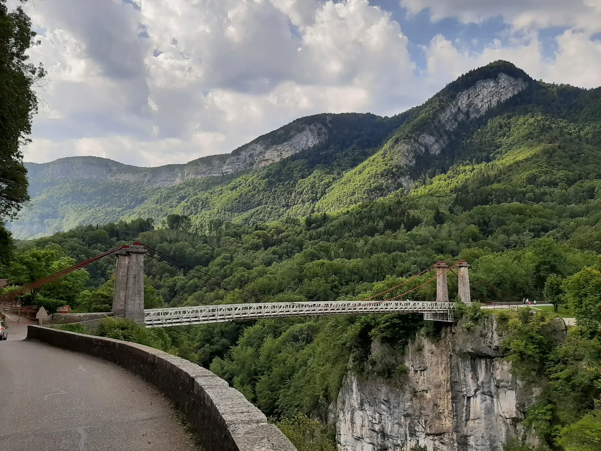
Discovering a little-known massif – cycling France’s Tour des Bauges
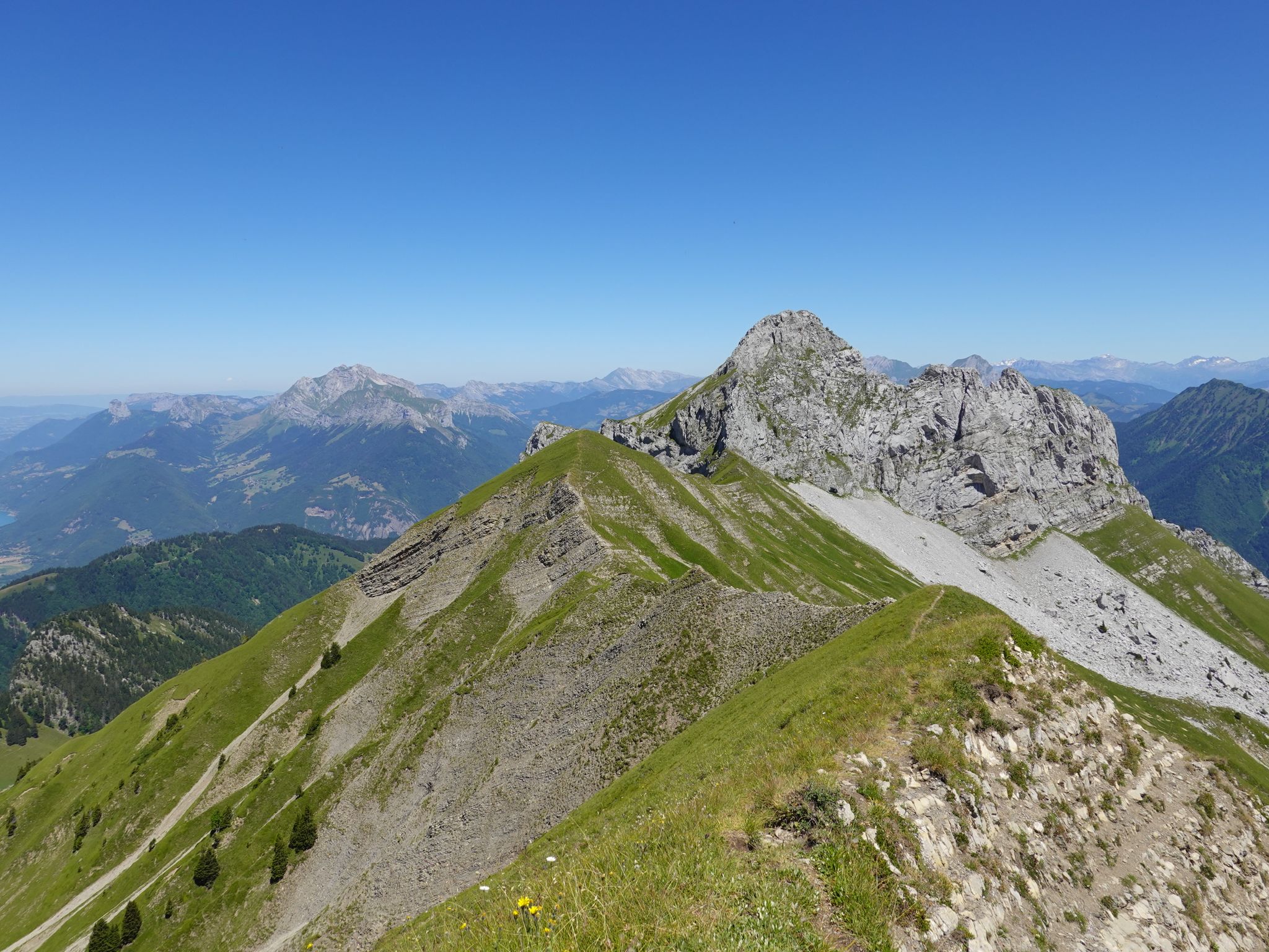
Running the peaks — reach the summits of the Bauges 2000ers
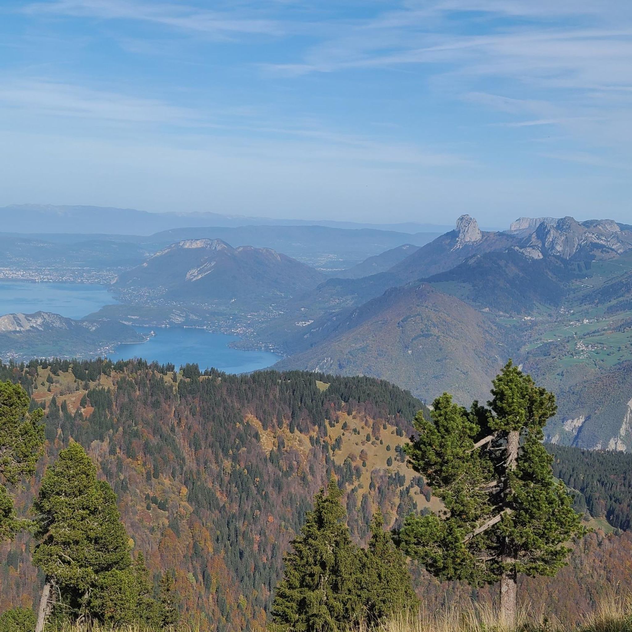
Hiking around Plancherine
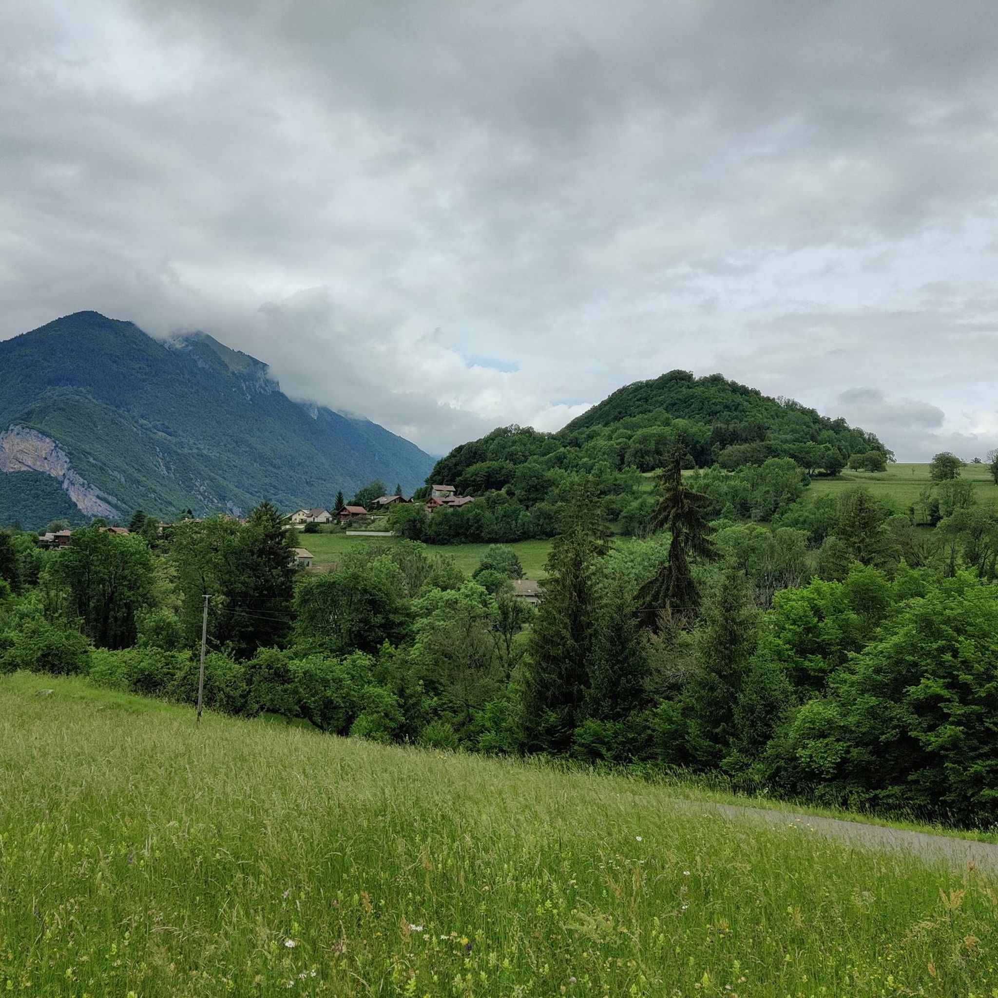
Running Trails around Plancherine
Cycling around Plancherine
MTB Trails around Plancherine

Mountain Hikes around Plancherine

Gravel biking around Plancherine


Tips from the Community

Nice little pass, quiet road, great views.
2
0
Nice little place shortly before the last ascent to Col des Pres. Church, bar and fountain.
2
0
Small side road
2
0
Cycle path along the Isere with a bathing spot.
2
0
Beautiful cycle path along the Isere.
2
0
Unfortunately, here still along the motorway, the Isere comes later.
2
0

To the cycle tourist who invented his own pass.
0
0

Quiet little road to begin the ascent of the Col du Frêne. Very beautiful view.
0
0
Frequently Asked Questions
What is the typical terrain and difficulty for road cycling around Plancherine?
Road cycling around Plancherine offers a diverse Alpine landscape, with terrain ranging from 440m to over 2100m in altitude. You'll find a mix of challenging mountain ascents, scenic valley rides, and routes through verdant meadows. The area caters to various skill levels, with 43 difficult, 41 moderate, and 13 easy routes available. For example, the Col du Frêne (950 m) – Marocaz Pass loop from Aidier is a challenging route with significant elevation gain.
Are there easy road cycling routes suitable for beginners in Plancherine?
Yes, Plancherine offers several easier road cycling options. There are 13 routes classified as easy, providing a gentler introduction to the region's beauty. These routes typically feature less elevation gain and shorter distances, making them suitable for those new to road cycling or looking for a more relaxed ride.
Where can I find challenging road cycling routes with significant climbs in the Plancherine area?
For experienced cyclists seeking a challenge, Plancherine and its surroundings offer numerous demanding routes. The region is close to iconic Alpine features and challenging climbs like the Col du Pré (1703m). Routes such as the Conflans – Fort du Mont loop from Gilly-sur-Isère provide significant elevation gain and are classified as difficult, perfect for testing your fitness in a grandiose setting.
What natural features and landmarks can I expect to see while road cycling around Plancherine?
While cycling around Plancherine, you'll be immersed in the stunning natural beauty of the Savoie department. Routes often pass through the Massif des Bauges Regional Nature Park and the Val de Tamié, offering views of snow-capped summits, verdant meadows, and hills. You might also catch glimpses of prominent natural sites like Lake Annecy and the Aravis mountains. Notable natural highlights in the vicinity include La Belle-Étoile and Petite Sambuy.
Are there any historical or cultural attractions near the road cycling routes?
Yes, the Plancherine area is rich in history and culture. Cyclists can explore sites such as the historic Tamié Abbey, known for its cheeses, located just 2.6 km from Plancherine. The well-preserved Medieval City of Conflans near Albertville is another significant landmark, often passed by routes like the Véloroute 62. Additionally, Fort de Tamié offers another historical point of interest.
What is the best time of year for road cycling in Plancherine?
The best time for road cycling in Plancherine is generally from late spring through early autumn. During these months, the weather is typically more favorable, and the higher mountain passes are clear of snow, allowing access to the full range of routes. The region's diverse landscapes are particularly beautiful with verdant meadows in spring and summer, and vibrant colors in autumn.
Are there family-friendly road cycling options around Plancherine?
While many routes in Plancherine involve significant elevation, there are options suitable for families or those looking for a less strenuous ride. With 13 easy routes available, you can find paths that offer a more relaxed experience. These routes often follow flatter sections of valleys or lakeside paths, providing a pleasant outing for all ages.
Can I find circular road cycling routes in Plancherine?
Yes, many of the road cycling routes around Plancherine are designed as loops, allowing you to start and finish at the same point. Examples include the Lake – Véloroute 62 loop from Mercury, which offers varied terrain, and the Tamié Pass – Collet de Tamié (960 m) loop from Mercury, a moderate option with scenic views.
Is parking available near the road cycling trailheads in Plancherine?
Yes, parking is generally available in and around Plancherine, particularly in villages and towns that serve as common starting points for cycling routes. Many routes begin from locations like Aidier or Mercury, where you can typically find designated parking areas. It's always advisable to check local signage for specific parking regulations.
What do other road cyclists enjoy most about road cycling in Plancherine?
The road cycling experience in Plancherine is highly rated by the komoot community, with an average score of 4.6 stars from over 450 reviews. Cyclists frequently praise the region's challenging mountain passes, the scenic beauty of the valleys, and the diverse routes near natural parks. The variety of terrain, from demanding climbs to picturesque valley rides, is often highlighted as a key draw.
What is the typical length and duration of road cycling routes in the Plancherine area?
The road cycling routes around Plancherine vary significantly in length and duration to suit different preferences and fitness levels. You can find shorter loops, such as the Tamié Pass – Collet de Tamié (960 m) loop from Mercury, which is about 19 km and takes around 1 hour 15 minutes. Longer, more challenging routes, like the Col du Frêne (950 m) – Marocaz Pass loop from Aidier, can extend over 113 km and require more than 6 hours to complete.
Most popular routes around Plancherine
Most popular attractions around Plancherine

Get inspired with the komoot mobile app


Explore more
Browse the best Road cycling routes in other regions.
