The best road cycling routes around La Rivière-Enverse
4.4
(383)
19,332
riders
116
rides
Road cycling around La Rivière-Enverse offers routes through the French Alps, characterized by significant elevation changes and mountain passes. The terrain includes winding roads through valleys, alongside rivers, and up to scenic viewpoints. Cyclists can expect a mix of challenging climbs and descents, with routes often traversing through forested areas and open alpine landscapes. The region's geography provides varied road cycling experiences.
Best road cycling routes around La Rivière-Enverse
- The most popular road cycling route is Col de la Ramaz…
Last updated: July 6, 2026
4.7
(3)
144
riders
48.7km
03:02
1,330m
1,330m
Hard road ride. Very good fitness required. Mostly well-paved surfaces and easy to ride.
4.0
(16)
572
riders
38.2km
01:50
510m
510m
Moderate road ride. Good fitness required. Mostly well-paved surfaces and easy to ride.

Sign up for free
5.0
(6)
542
riders
74.5km
03:57
1,410m
1,410m
Hard road ride. Very good fitness required. Mostly well-paved surfaces and easy to ride.
4.6
(8)
474
riders
64.2km
03:25
1,220m
1,220m
Hard road ride. Very good fitness required. Mostly well-paved surfaces and easy to ride.
4.5
(23)
1,491
riders
62.0km
03:45
1,620m
1,620m
Hard road ride. Very good fitness required. Mostly well-paved surfaces and easy to ride.
Get access to more routes and recommendations from other explorers.
Sign up for free
Already have an account?
Our route recommendations are based on thousands of hikes, rides, and runs completed by other people on komoot.
Start today with a free account
Your next adventure awaits.
Login or Signup
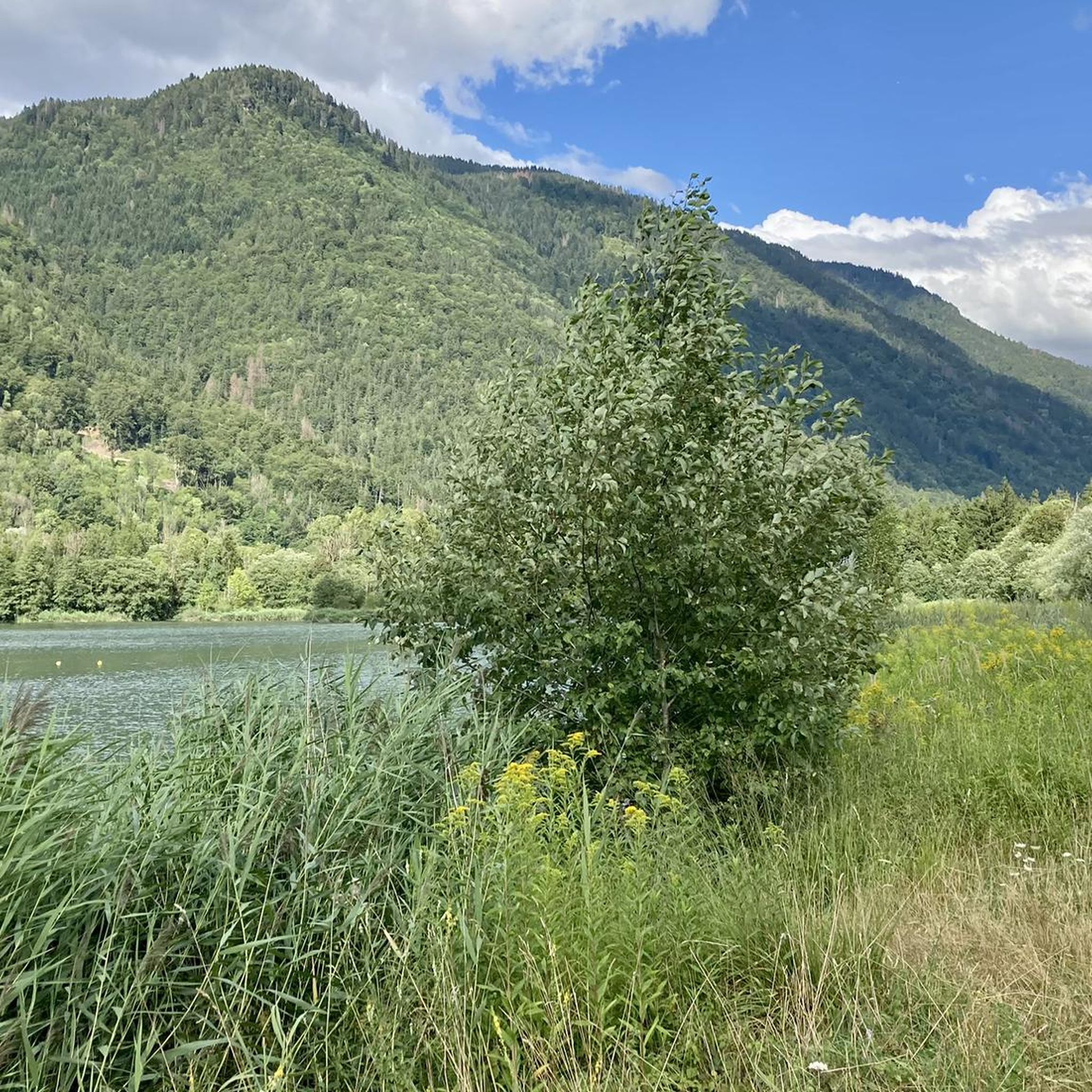
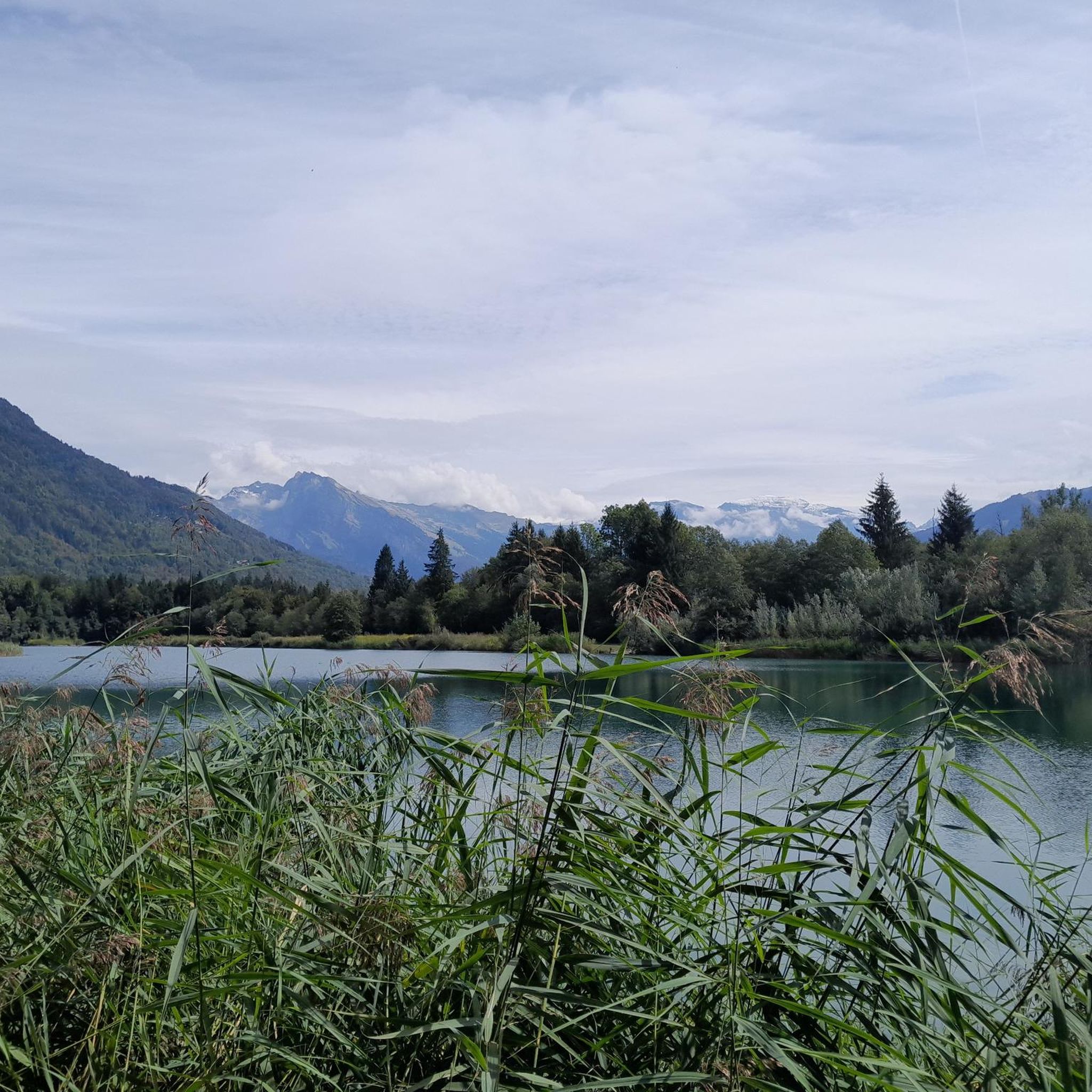
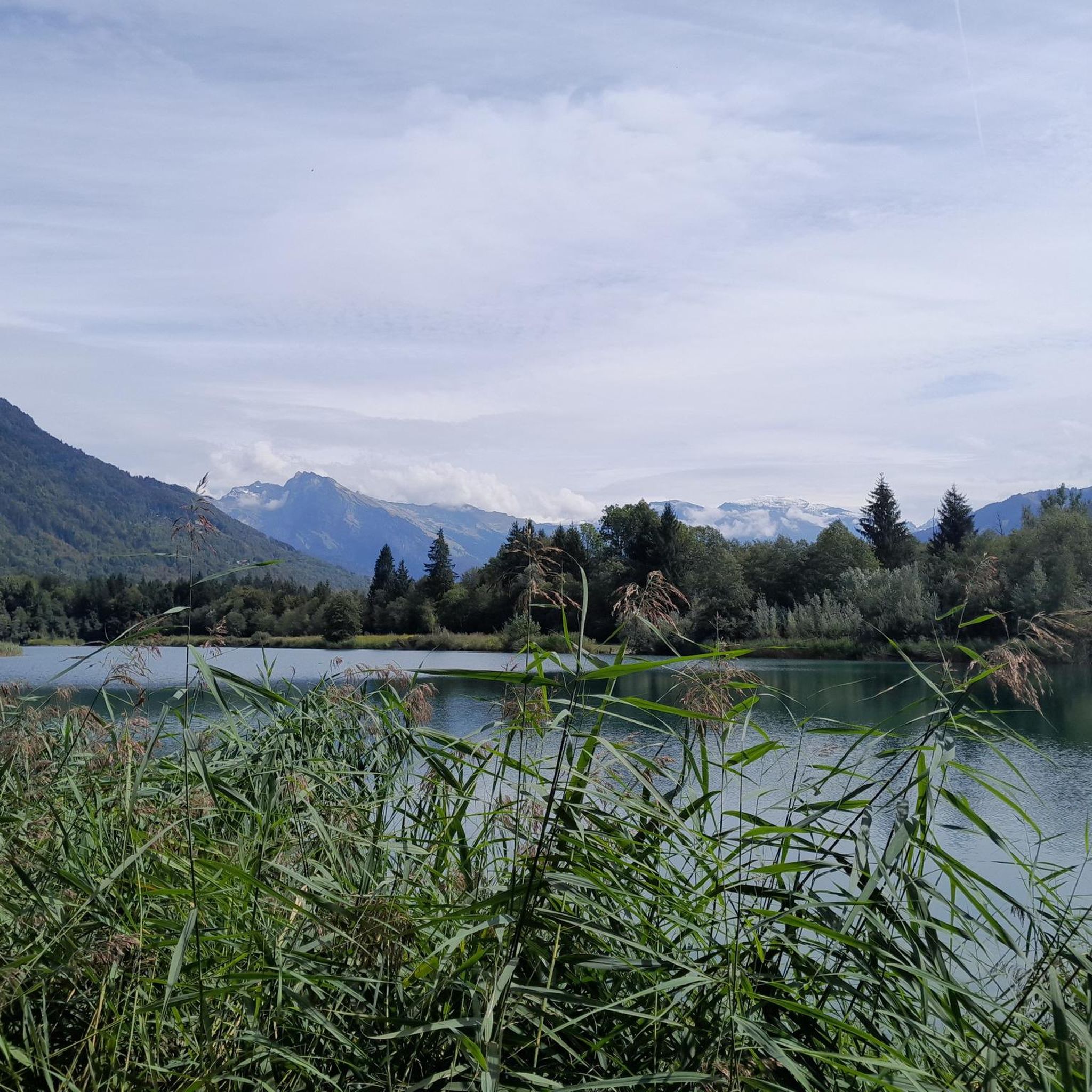
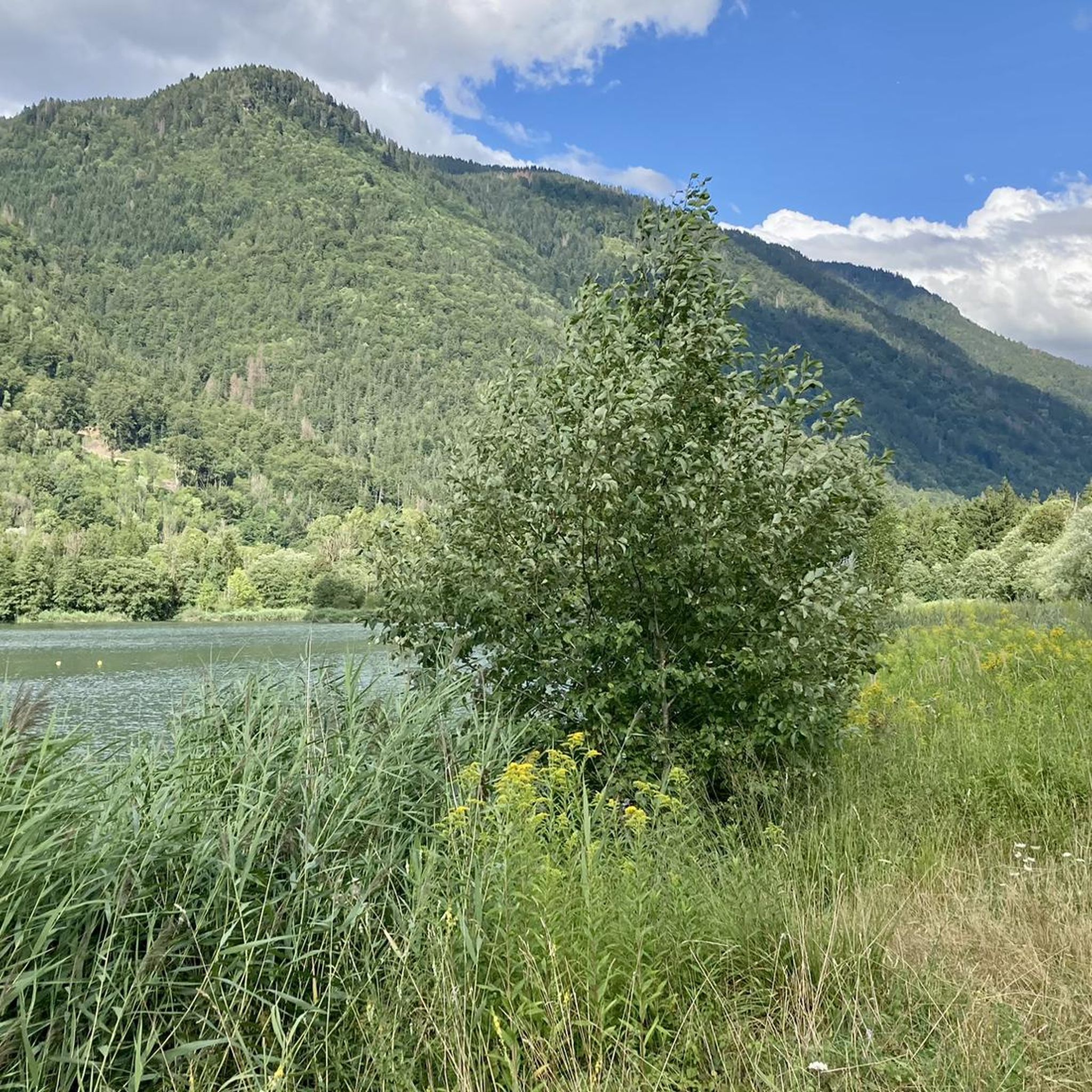


Tips from the Community

Drinking water fountain on the climb to the Joux Plane pass
0
0

Great village with many beautiful trails.
2
0

Here is the route for the ascent of the Col de Joux Plane starting from Samoëns
1
0

Nice Spot! Absolutely cyclitsapproved 🫵🫰
0
0
Nice Spot! Absolutely cyclitsapproved 🫵🫰
0
0
Beautiful Spot! Absolutely cyclitsapproved 🫵🫰
0
0

Frequently Asked Questions
How many road cycling routes are available around La Rivière-Enverse?
There are over 110 road cycling routes documented around La Rivière-Enverse on komoot, offering a wide range of options for different skill levels and preferences.
Are there road cycling routes suitable for beginners in La Rivière-Enverse?
Yes, La Rivière-Enverse offers around 20 easy road cycling routes. These typically feature less challenging climbs and more gentle terrain, ideal for those new to road cycling in the Alps.
What kind of challenges can advanced road cyclists expect in La Rivière-Enverse?
Advanced road cyclists will find plenty of challenging routes, with over 40 difficult options. These often involve significant elevation changes and mountain passes, such as the Col de la Ramaz — loop from Taninges or the Samoëns – Col de Joux Plane loop from Taninges, providing demanding climbs and thrilling descents through alpine landscapes.
What is the best time of year for road cycling in La Rivière-Enverse?
The best time for road cycling in La Rivière-Enverse is typically from late spring to early autumn (May to October). During these months, mountain passes are generally clear of snow, and the weather is more stable, offering pleasant conditions for riding through the French Alps.
Are there any family-friendly road cycling routes in the area?
While many routes involve significant climbs, there are moderate options that can be suitable for families with older children or those looking for a less strenuous ride. The Samoëns – Cirque du Fer à Cheval loop from Verchaix is a moderate path that offers scenic views without extreme difficulty.
Are there circular road cycling routes available?
Yes, many of the road cycling routes around La Rivière-Enverse are designed as loops, allowing you to start and finish in the same location. Examples include the Col de la Ramaz — loop from Taninges and the Jambaz Pass – Brevon Road loop from Taninges.
What kind of scenery can I expect on road cycling routes in La Rivière-Enverse?
Road cycling in La Rivière-Enverse offers diverse alpine scenery. You'll encounter winding roads through river valleys, alongside forests, and up to high mountain passes with panoramic views. The region is characterized by its dramatic French Alps backdrop.
What do other road cyclists enjoy most about the routes in La Rivière-Enverse?
The area is highly rated by the komoot community, with an average score of 4.4 stars from over 370 reviews. Cyclists often praise the challenging mountain passes, the stunning alpine vistas, and the variety of routes that cater to different fitness levels.
Are there any notable landmarks or viewpoints along the road cycling routes?
Yes, the routes often pass by or lead to impressive natural features and viewpoints. For instance, you might encounter sights like La Bourgeoise lookout or the serene Lac de Nyon-Guérin. Many routes also offer views of prominent peaks such as Mont Chéry.
Are there places to stop for refreshments or food along the routes?
While specific cafe stops are not always marked on every route, many villages and towns along the way, such as Taninges or Samoëns, offer opportunities for refreshments. Some routes may also pass by mountain huts or restaurants like Restaurant Les Lhottys, providing a chance to refuel.
What is the typical elevation gain on road cycling routes in this region?
Given its location in the French Alps, road cycling routes around La Rivière-Enverse feature significant elevation gains. Even moderate routes can have several hundred meters of ascent, while difficult routes often exceed 1000 meters of climbing, such as the Route de Rond – Lac de Montriond loop from Verchaix with over 1200m of elevation gain.
Most popular routes around La Rivière-Enverse
Most popular attractions around La Rivière-Enverse

Get inspired with the komoot mobile app


Explore more
Browse the best Road cycling routes in other regions.
