The best walks and hikes around Anais
4.7
(95)
825
hikers
55
hikes
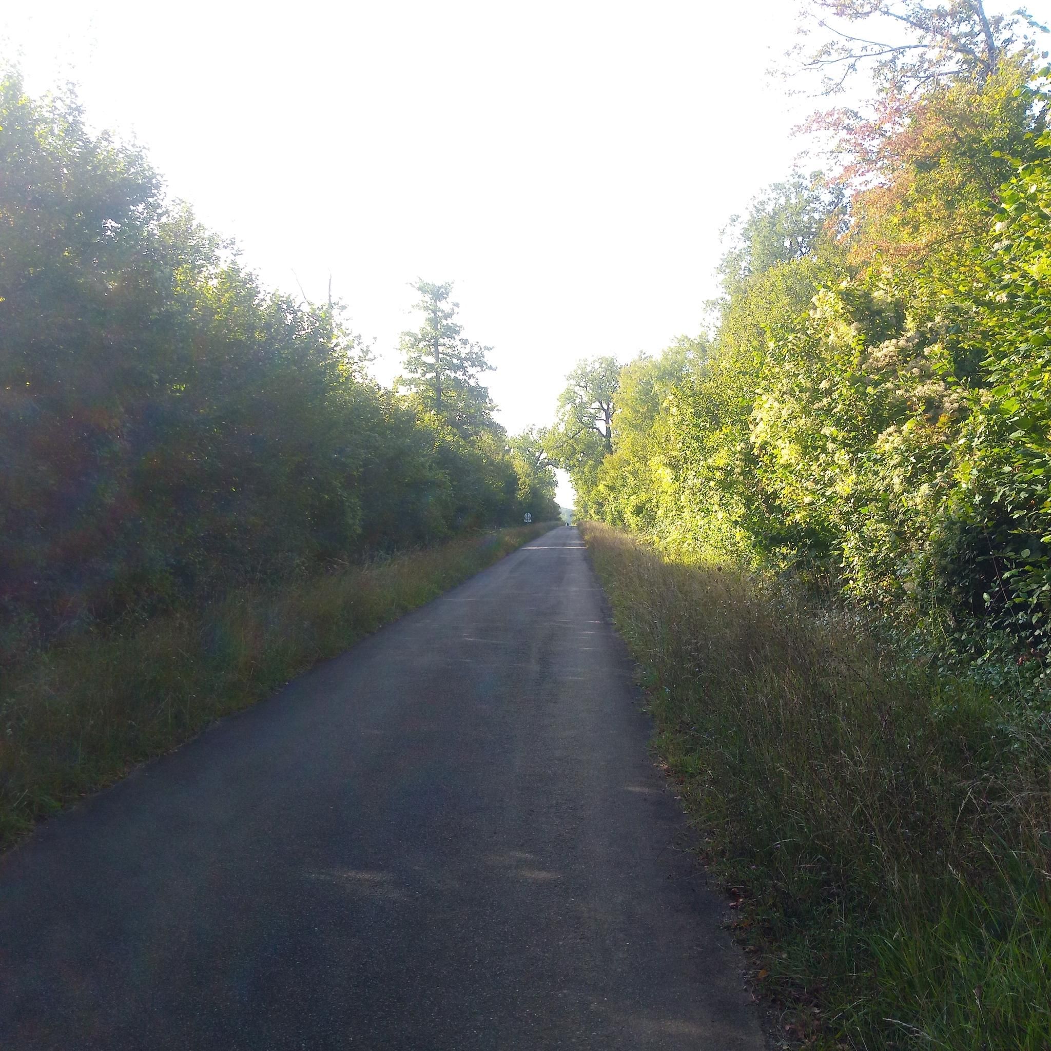
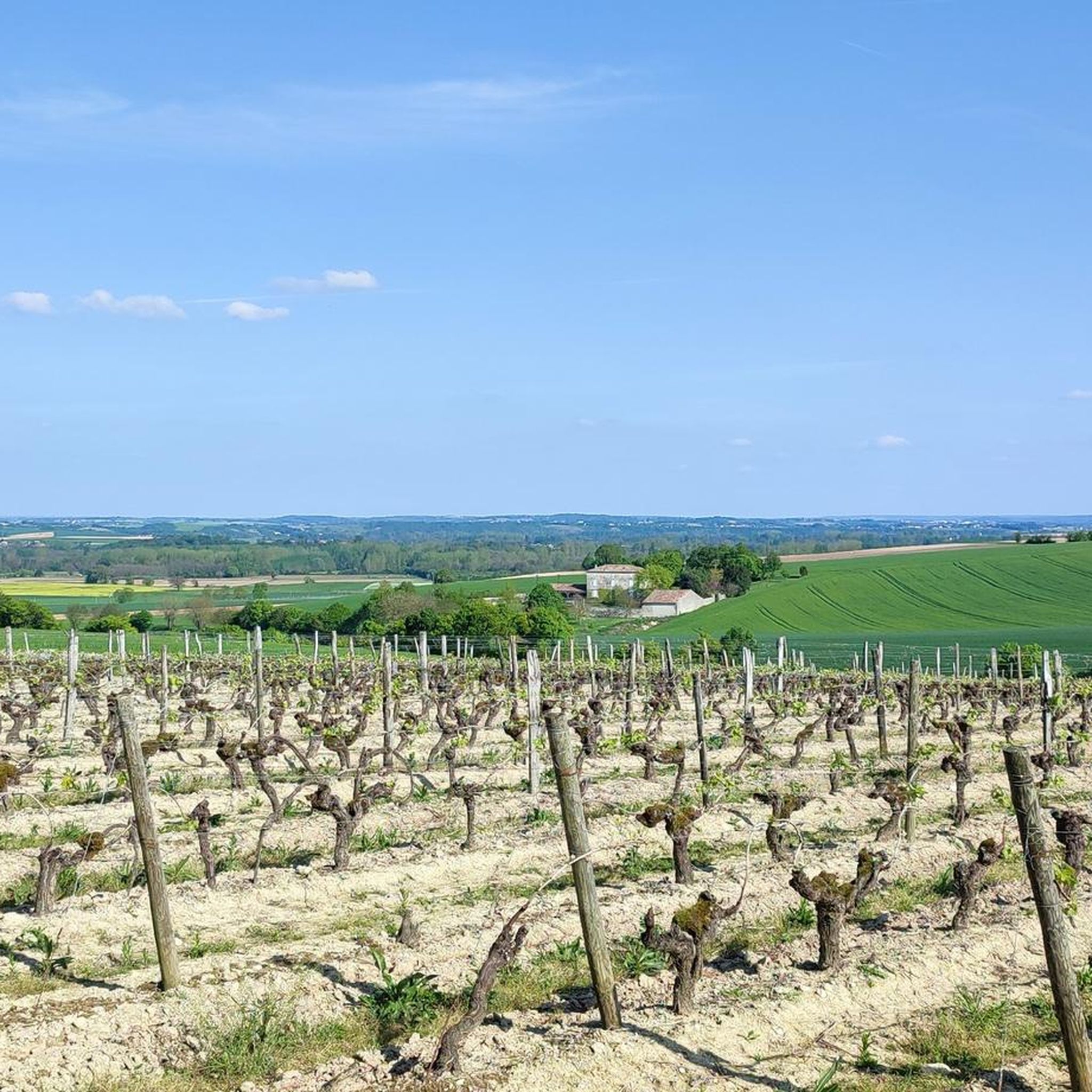
Hiking around Anais offers routes through a landscape characterized by gentle hills, agricultural fields, and scattered woodlands. The region features a network of paths that connect small villages and provide views of the rural countryside. Elevations are generally low, making most trails accessible for a range of abilities.
Best hiking trails around Anais
- The most popular hiking route is Saint-Amant-de-Boixe – loop, a 7.7 miles (12.4 km) trail that takes 3 hours 19 minutes to complete, passing through varied…
Last updated: June 27, 2026
5.0
(6)
23
hikers
7.52km
01:59
70m
70m
Easy hike. Great for any fitness level. Easily-accessible paths. Suitable for all skill levels.
4.5
(2)
7
hikers
13.0km
03:31
180m
180m
Moderate hike. Good fitness required. Easily-accessible paths. Suitable for all skill levels.

Sign up for free
5.0
(1)
11
hikers
15.9km
04:12
150m
150m
Moderate hike. Good fitness required. Easily-accessible paths. Suitable for all skill levels.
5.0
(1)
3
hikers
7.41km
01:58
70m
70m
Easy hike. Great for any fitness level. Easily-accessible paths. Suitable for all skill levels.
5.0
(2)
2
hikers
9.85km
02:36
90m
90m
Moderate hike. Good fitness required. Easily-accessible paths. Suitable for all skill levels.
Get access to more routes and recommendations from other explorers.
Sign up for free
Already have an account?
Our route recommendations are based on thousands of hikes, rides, and runs completed by other people on komoot.
Start today with a free account
Your next adventure awaits.
Login or Signup

Frequently Asked Questions
How many hiking trails are available around Anais?
There are over 50 hiking routes around Anais, offering a variety of options for exploring the region's gentle hills, agricultural fields, and scattered woodlands. These trails connect small villages and provide scenic views of the rural countryside.
Are there easy hiking trails suitable for beginners or families in Anais?
Yes, Anais offers a good selection of easy trails. For instance, the Brie loop from Brie is an easy 4.7-mile (7.5 km) path exploring the local countryside. Another accessible option is the Argence loop from Argence, which is about 3.2 miles (5.1 km) long.
What kind of terrain can I expect on hikes around Anais?
Hiking around Anais is characterized by gentle hills, open agricultural fields, and quiet village paths. The elevations are generally low, making most trails accessible. You'll find a network of paths that offer views of the rural countryside and scattered woodlands.
Are there any circular walks in Anais?
Many of the trails around Anais are designed as loops, allowing you to start and end in the same location. A popular circular route is the Saint-Amant-de-Boixe – loop, which covers 7.7 miles (12.4 km) through varied rural terrain.
What are some interesting landmarks or attractions to see near the hiking trails?
While hiking around Anais, you can explore several historical and natural points of interest. Consider visiting the Saint-Amant-de-Boixe Abbey, or the historic Saint Martin's Church in Mornac. For a natural escape, Lake Saint-Yrieix is also nearby.
What do other hikers say about the trails in Anais?
The hiking routes in Anais are highly rated by the komoot community, with an average score of 4.6 stars from over 80 reviews. Hikers often praise the quiet rural atmosphere, the well-maintained paths, and the accessibility of the trails for various ability levels.
Are there any longer distance trails for more experienced hikers?
Yes, for those looking for a longer hike, the Saint Martin Church in Balzac loop from Combe Vieille is a moderate 9.8-mile (15.9 km) trail. It leads through agricultural areas and past historical points, typically taking around 4 hours to complete.
What is the best time of year to go hiking in Anais?
Given the region's gentle terrain and agricultural landscape, hiking in Anais is pleasant during spring and autumn when the weather is mild and the scenery is vibrant with wildflowers or autumnal colors. Summer can also be enjoyable, especially in the mornings or late afternoons, though it can be warmer.
Is public transport available to reach the trailheads in Anais?
Information regarding specific public transport links directly to trailheads is not readily available. It is generally recommended to check local transport schedules for buses or trains to the main villages in the Anais region, and then plan your hike from there.
Are the hiking trails in Anais dog-friendly?
Many rural trails in France, including those around Anais, are generally dog-friendly, especially if dogs are kept on a leash. However, always be mindful of agricultural land and livestock. It's advisable to check specific route details on komoot for any restrictions or recommendations regarding dogs.
Where can I find parking for hiking trails in Anais?
Parking is typically available in or near the villages where many of the trails begin. Look for designated parking areas in village centers or near local amenities. For specific routes, checking the komoot tour details often provides information on starting points and potential parking spots.
Most popular attractions around Anais

Get inspired with the komoot mobile app


Explore more
Browse the best Hikes in other regions.
