The best walks and hikes around Notre-Dame-Des-Millières
4.5
(271)
3,117
hikers
142
hikes
Hiking around Notre-Dame-Des-Millières offers access to mountainous terrain, including significant peaks and forested slopes. The region is characterized by its varied elevation, with trails ascending towards summits like Dent du Corbeau and traversing through alpine landscapes. Hikers can expect a mix of challenging climbs and scenic paths, providing diverse experiences within the French Alps.
Best hiking trails around Notre-Dame-Des-Millières
- The most popular hiking route is Dent du Corbeau (2280 m) – Le Grand Arc loop from L'Ébaudiaz, a 9.6…
Last updated: July 4, 2026
4.4
(5)
30
hikers
13.3km
04:31
650m
650m
Moderate hike. Good fitness required. Easily-accessible paths. Suitable for all skill levels.
5.0
(1)
6
hikers
Hard hike. Good fitness required. Sure-footedness, sturdy shoes and alpine experience required.

Sign up for free
3
hikers
8.85km
04:22
710m
720m
Hard hike. Good fitness required. Sure-footedness, sturdy shoes and alpine experience required.
5.0
(1)
9
hikers
9.27km
04:26
690m
690m
Hard hike. Good fitness required. Sure-footedness, sturdy shoes and alpine experience required.
20
hikers
3.06km
00:47
10m
10m
Easy hike. Great for any fitness level. Easily-accessible paths. Suitable for all skill levels.
Get access to more routes and recommendations from other explorers.
Sign up for free
Already have an account?
Our route recommendations are based on thousands of hikes, rides, and runs completed by other people on komoot.
Start today with a free account
Your next adventure awaits.
Login or Signup
Popular around Notre-Dame-Des-Millières
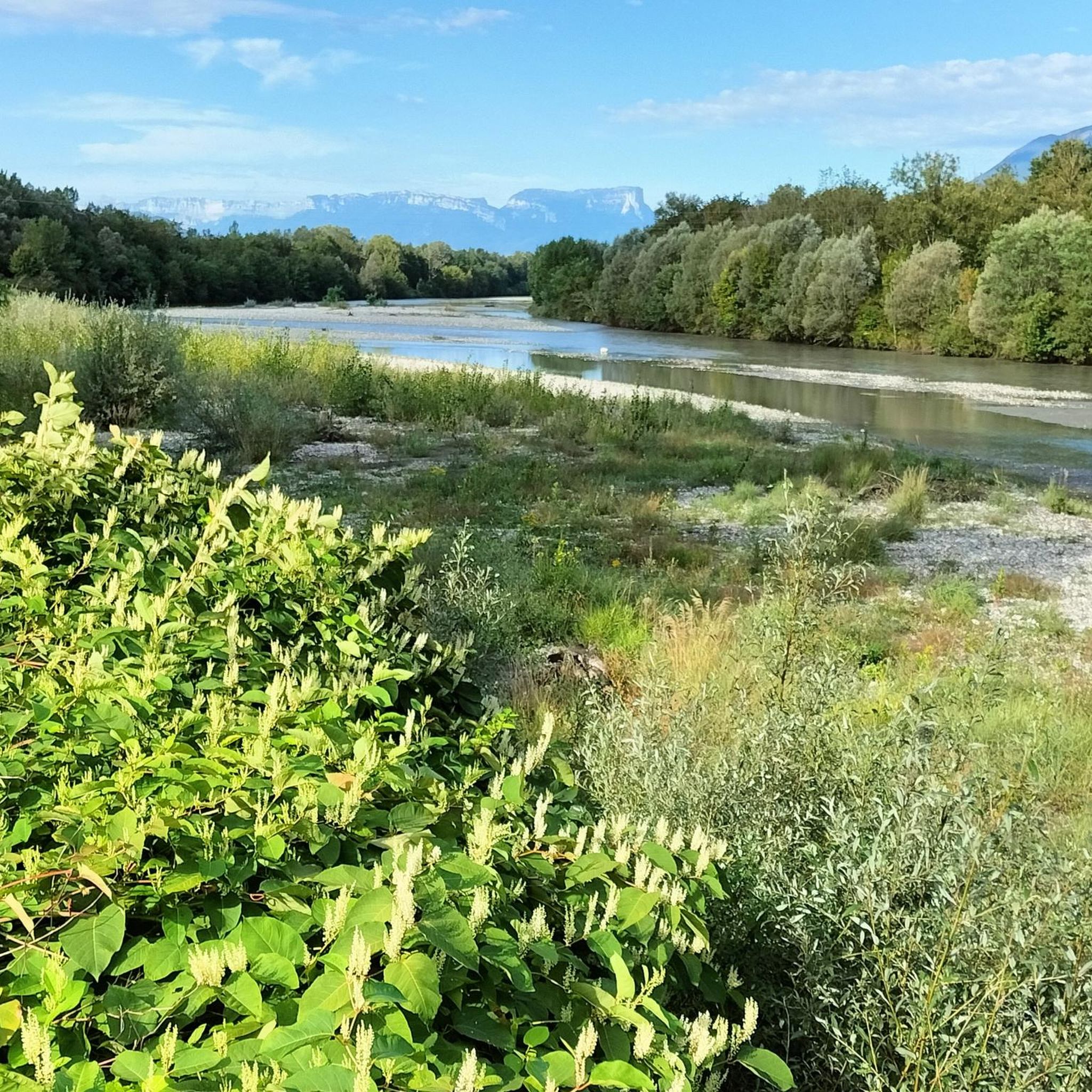
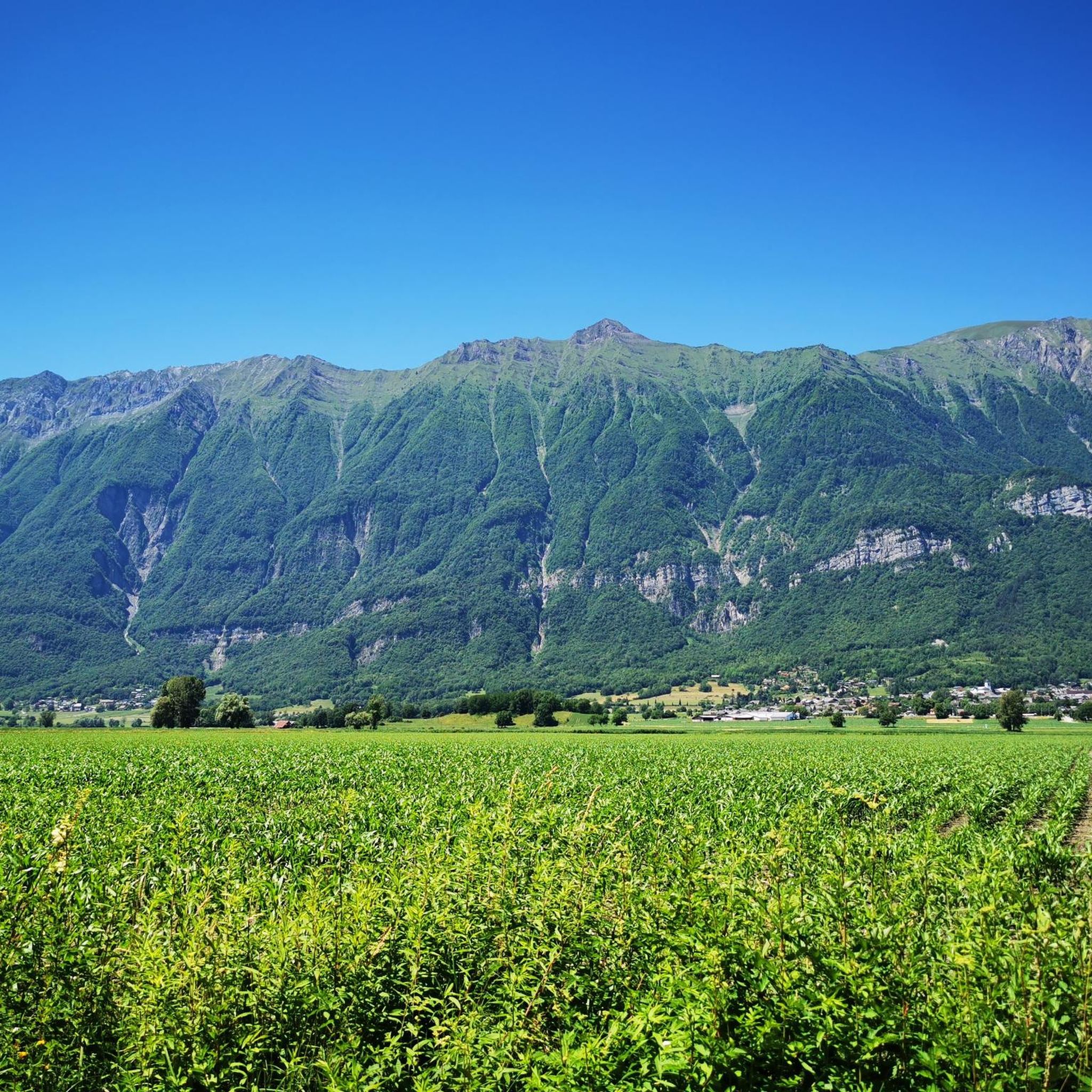



Tips from the Community

A hill with a lot of traffic, better on roads that run parallel.
0
0

Located at an altitude of 907 meters, this pass is located in the Bauges massif, in the town of Plancherine. It separates the valley of Savoie and Albertville from the Faverges valley and Lake Annecy.
2
0

Incredibly beautiful mountain valley like a park.
2
0

Definitely worth a visit, there is a lot to see, including a vantage point for Mont Blanc
2
0
the ascent from the north is moderate, easy
2
0

The Collet de Tamié from Gilly-sur-Isère is 8.9 km long with a total drop of 626 m. The average gradient is 7% with maximum gradients of 20%.
3
0

Pretty pass a road that goes up from faverges with a regular 6% very pleasant drop.
1
1
Frequently Asked Questions
How many hiking trails are available around Notre-Dame-Des-Millières?
There are over 140 hiking routes in the Notre-Dame-Des-Millières area, offering a wide range of options from easy strolls to challenging mountain ascents. You'll find trails suitable for various fitness levels and preferences.
Are there any easy hiking routes suitable for beginners or families in Notre-Dame-Des-Millières?
Yes, Notre-Dame-Des-Millières offers over 30 easy hiking routes. These trails are generally shorter and have less elevation gain, making them ideal for beginners, families with children, or those looking for a relaxed walk. While specific family-friendly routes are not detailed here, many easy trails are suitable.
What is the best season for hiking in Notre-Dame-Des-Millières?
The best season for hiking in Notre-Dame-Des-Millières, given its mountainous terrain in the French Alps, is typically from late spring (May/June) through early autumn (September/October). During these months, the weather is generally milder, and trails are more accessible, with less snow at higher elevations. Summer offers warm conditions, while autumn brings beautiful foliage.
Are there any circular walking routes around Notre-Dame-Des-Millières?
Yes, many of the routes around Notre-Dame-Des-Millières are designed as loops, allowing you to start and end at the same point. For example, the challenging Dent du Corbeau (2280 m) – Le Grand Arc loop from L'Ébaudiaz is a popular circular option, as is the moderate Tamié Pass – Fort de Tamié loop from Verrens-Arvey.
What kind of natural monuments or viewpoints can I expect to see on hikes?
The region is rich in natural beauty and offers stunning viewpoints. You can encounter summits like La Belle-Étoile, Petite Sambuy, and Mont d'Armenaz. The Tamié Pass also offers expansive views of the surrounding alpine landscape.
Are there any historical or cultural landmarks along the hiking trails?
Yes, some trails combine natural scenery with historical interest. For instance, the Tamié Pass – Fort de Tamié loop from Verrens-Arvey passes by the historic Fort de Tamié. You can also visit the Notre-Dame de Tamié Abbey, a significant religious building in the area.
What do other hikers enjoy most about hiking in Notre-Dame-Des-Millières?
The hiking trails around Notre-Dame-Des-Millières are highly rated by the komoot community, with an average score of 4.6 stars from over 260 reviews. Hikers frequently praise the diverse terrain, from challenging alpine peaks to scenic forested slopes, and the expansive views of the French Alps.
Are there any particularly challenging hikes for experienced trekkers?
Absolutely. The region is known for its mountainous terrain and offers over 40 difficult routes. An example is the Chalet de la Thuile – Dent du Corbeau (2280 m) loop from Massif du Grand Arc, which leads through demanding alpine landscapes. Another challenging option is the Grande Lanche Point – Dent du Corbeau (2280 m) loop from Massif du Grand Arc.
Are there any hikes that feature lakes or water features?
While not explicitly featuring waterfalls, some routes offer views of or pass by natural water bodies. For example, the challenging Dent du Corbeau (2280 m) – Lake Fontaine Claire loop from L'Ébaudiaz includes a lake, providing a refreshing element to the hike.
What is the typical duration for hikes in this area?
Hike durations vary significantly depending on the route's difficulty and length. Easy trails might take a couple of hours, while more challenging routes like the Dent du Corbeau (2280 m) – Le Grand Arc loop from L'Ébaudiaz can take over 7 hours to complete due to their distance and elevation gain.
Is public transport available to access trailheads in Notre-Dame-Des-Millières?
Access to trailheads by public transport can be limited in mountainous regions like Notre-Dame-Des-Millières. While some larger towns might have bus services, many trailheads require private vehicle access. It's advisable to check local transport schedules for specific starting points before planning your hike.
Where can I find parking for hiking trails in Notre-Dame-Des-Millières?
Parking availability varies by trailhead. Many popular starting points for hikes, especially those leading to significant peaks or attractions, will have designated parking areas, often small car parks or roadside pull-offs. It's recommended to research specific trailheads in advance for detailed parking information.
Most popular routes around Notre-Dame-Des-Millières
Most popular attractions around Notre-Dame-Des-Millières

Get inspired with the komoot mobile app


Explore more
Browse the best Hikes in other regions.
