The best road cycling routes around Saint-Léger-Du-Malzieu
4.3
(21)
1,044
riders
61
rides
Road cycling around Saint-Léger-Du-Malzieu offers diverse landscapes within the Lozère department of the Occitanie region. Situated at approximately 850 meters altitude, the area features varied terrain suitable for road cyclists. The region is characterized by river valleys, such as the Truyère, and the Aubrac plateau, providing a mix of ascents and flatter sections. Cyclists can expect routes traversing mountains, forests, and open pastures.
Best road cycling routes around Saint-Léger-Du-Malzieu
- The most popular road cycling route is Loop at the border…
Last updated: July 15, 2026
1.0
(1)
16
riders
59.1km
03:08
1,150m
1,150m
Hard road ride. Very good fitness required. Mostly well-paved surfaces and easy to ride.
35
riders
43.2km
02:07
520m
520m
Moderate road ride. Good fitness required. Mostly well-paved surfaces and easy to ride.

Sign up for free
15
riders
59.3km
03:02
1,010m
1,010m
Hard road ride. Very good fitness required. Some segments of this route may be unpaved and difficult to ride.
11
riders
66.7km
03:24
1,100m
1,100m
Hard road ride. Very good fitness required. Some segments of this route may be unpaved and difficult to ride.
16
riders
54.6km
02:40
810m
810m
Moderate road ride. Good fitness required. Mostly well-paved surfaces and easy to ride.
Get access to more routes and recommendations from other explorers.
Sign up for free
Already have an account?
Our route recommendations are based on thousands of hikes, rides, and runs completed by other people on komoot.
Start today with a free account
Your next adventure awaits.
Login or Signup
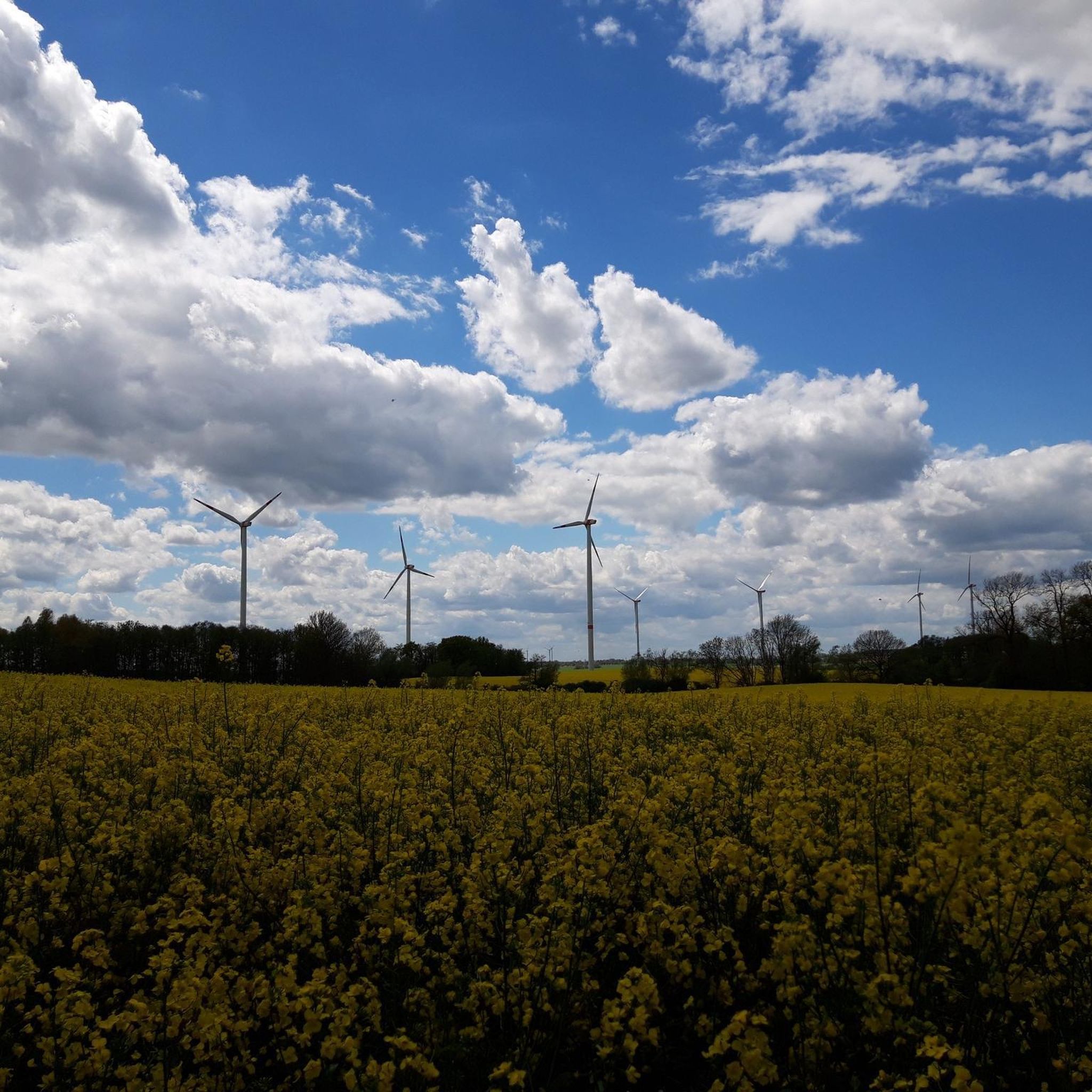
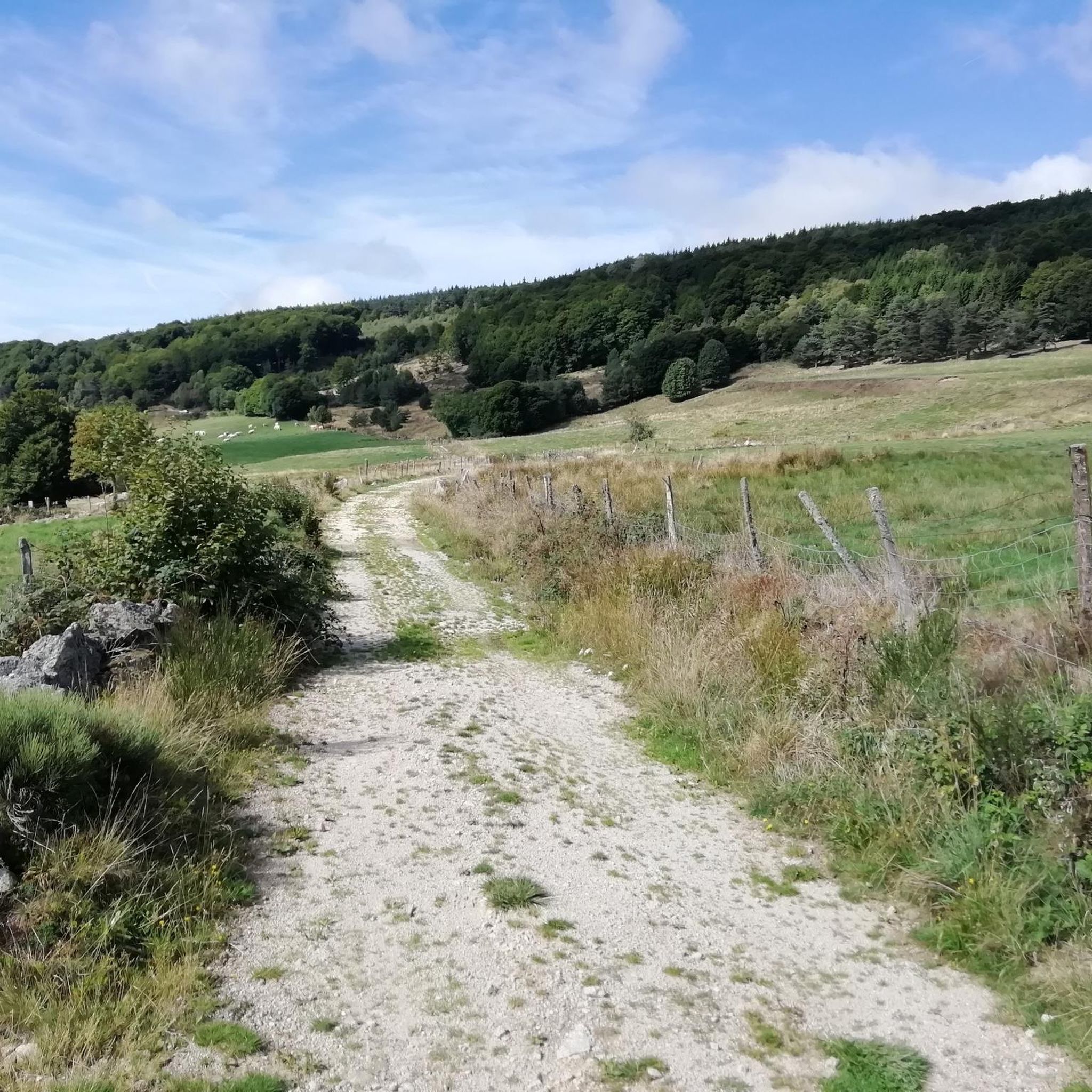
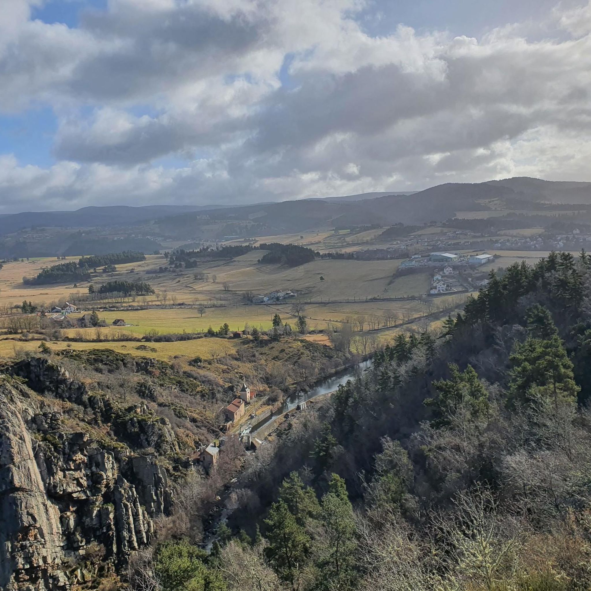
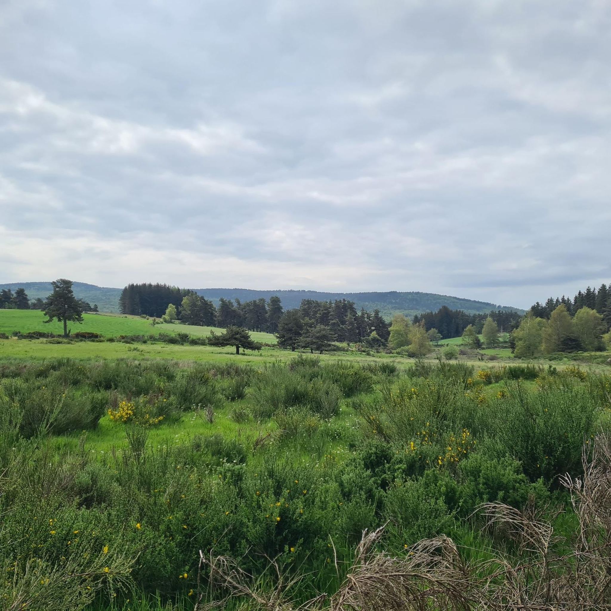
Tips from the Community


Le Malzieu-Ville is a medieval gem in the Lozère department. The fortified old town, with its towers, gates, and narrow streets, invites exploration. Situated on the banks of the Truyère River, it is a stop on the Way of St. James. The surrounding forests and plateaus offer wonderful hiking and nature experiences.
0
0


Superb view of the Garabit viaduct, allowing you to cross the Truyère gorges. This metal structure, created by Gustave Eiffel, is 565 meters long and rises to 122 meters above the water. It was at one time the “highest viaduct in the world”!
0
0

very pretty little village
0
0

Impressive viaduct designed by Eiffel. Go as close as possible for snaps.
0
0

A typical medieval town of this Margeride area of the Lozère. A cool place to ride through, with its narrow streets and ancient history. Listed as one of the 172 'Plus beaux villages de France' (the most stunning villages of France).
2
0
Frequently Asked Questions
How many road cycling routes are available around Saint-Léger-Du-Malzieu?
There are nearly 60 road cycling routes around Saint-Léger-Du-Malzieu, offering a wide range of options for different skill levels. This includes 2 easy, 30 moderate, and 27 difficult routes.
What kind of terrain can I expect on road cycling routes in Saint-Léger-Du-Malzieu?
Road cycling around Saint-Léger-Du-Malzieu features diverse landscapes, including the picturesque Truyère river valley, the vast Aubrac plateau, and forested areas. You can expect a mix of ascents and flatter sections, with routes traversing mountains and open pastures, reflecting the region's varied topography at an altitude of approximately 850 meters.
Are there road cycling routes suitable for beginners or those seeking an easier ride?
Yes, Saint-Léger-Du-Malzieu offers a few easier road cycling routes. While many routes involve significant elevation, there are options designed for all fitness levels. For example, routes under two hours with around 1,000 feet of elevation gain are available.
What are some challenging road cycling routes in the area?
For experienced cyclists seeking a challenge, there are 27 difficult routes available. A notable option is the Loop at the border of Haute-Loire and Lozère, a 36.7-mile (59.1 km) trail with significant elevation gain across the regional border. Another challenging ride is the Malzieu-Ville – Ruynes-en-Margeride loop from Le Malzieu-Ville, covering 59.5 km with over 1000 meters of ascent.
What are some scenic viewpoints or landmarks I can see along road cycling routes?
The region offers numerous scenic views, particularly along the Truyère river valley. While cycling, you might encounter charming landscapes, dense forests, and clear rivers. Nearby attractions include the Summit of Mont Mouchet, the Valadour Footbridge, and the historic Roc-Saint-Pierre chapel. The village of Malzieu-Ville is also a point of interest.
Are there any circular road cycling routes around Saint-Léger-Du-Malzieu?
Yes, many of the road cycling routes in the area are circular, allowing you to start and end in the same location. Examples include the Saint-Chély-d'Apcher – Saint-Alban-sur-Limagnole loop from Le Malzieu-Ville, a moderate 27.2-mile (43.7 km) path, and the Malzieu-Ville – Saint-Alban-sur-Limagnole loop from Saint-Léger-du-Malzieu, which is 33.7 miles (54.2 km) long.
What is the best time of year for road cycling in Saint-Léger-Du-Malzieu?
The region is generally appealing for outdoor activities due to its natural beauty. While specific weather conditions vary, the diverse landscapes of Lozère make it suitable for cycling through much of the year, with summer offering pleasant conditions for exploring the varied terrain.
What do other road cyclists enjoy most about road cycling in Saint-Léger-Du-Malzieu?
The area is highly rated by the komoot community, with an average score of 4.3 stars from over 20 reviews. Cyclists often praise the varied terrain, which includes river valleys, plateaus, and forests, providing a diverse and engaging experience.
Are there any long-distance road cycling routes near Saint-Léger-Du-Malzieu?
Yes, there are several longer routes for those looking for extended rides. For instance, the View of the Garabit Viaduct – Malzieu-Ville loop from Le Malzieu-Ville is a challenging 66.8 km (41.5 miles) route, offering a substantial ride through the local landscapes.
Is Saint-Léger-Du-Malzieu a good base for exploring other natural sites by road bike?
Absolutely. Its location in the Lozère department provides access to significant natural landmarks. While some might require a longer ride, the region is relatively close to sites like the Gorges du Tarn and Mont Lozère, offering varied terrain and breathtaking scenery for those willing to venture further.
What is the typical elevation gain on road cycling routes in this area?
The elevation gain varies significantly depending on the route's difficulty. Easier routes might have around 1,000 feet (300 meters) of elevation, while more challenging routes can exceed 3,000 feet (900 meters). For example, the Loop at the border of Haute-Loire and Lozère features over 1,150 meters of ascent.
Most popular routes around Saint-Léger-Du-Malzieu
Most popular attractions around Saint-Léger-Du-Malzieu

Get inspired with the komoot mobile app


Explore more
Browse the best Road cycling routes in other regions.
