The best road cycling routes around Chaulhac
4.3
(11)
507
riders
77
rides
Road cycling routes around Chaulhac, located in the Lozère department of France, are characterized by diverse and rugged landscapes. The region features hilly and mountainous terrain with significant elevation changes, including segments with gradients up to 10%. Cyclists can expect quiet roads winding through forests, past rocky outcrops, and offering expansive views across volcanic and limestone formations. This area provides a challenging and visually striking backdrop for road cycling.
Best road cycling routes around Chaulhac
- The most popular road cycling…
Last updated: July 1, 2026
35
riders
43.2km
02:07
520m
520m
Moderate road ride. Good fitness required. Mostly well-paved surfaces and easy to ride.
9
riders
56.3km
03:05
1,100m
1,100m
Hard road ride. Very good fitness required. Mostly well-paved surfaces and easy to ride.

Sign up for free
15
riders
62.8km
03:09
1,040m
1,040m
Hard road ride. Very good fitness required. Mostly well-paved surfaces and easy to ride.
7
riders
23.7km
01:11
360m
360m
Moderate road ride. Good fitness required. Mostly well-paved surfaces and easy to ride.
6
riders
29.8km
01:31
520m
520m
Moderate road ride. Good fitness required. Mostly well-paved surfaces and easy to ride.
Get access to more routes and recommendations from other explorers.
Sign up for free
Already have an account?
Our route recommendations are based on thousands of hikes, rides, and runs completed by other people on komoot.
Start today with a free account
Your next adventure awaits.
Login or Signup

Tips from the Community


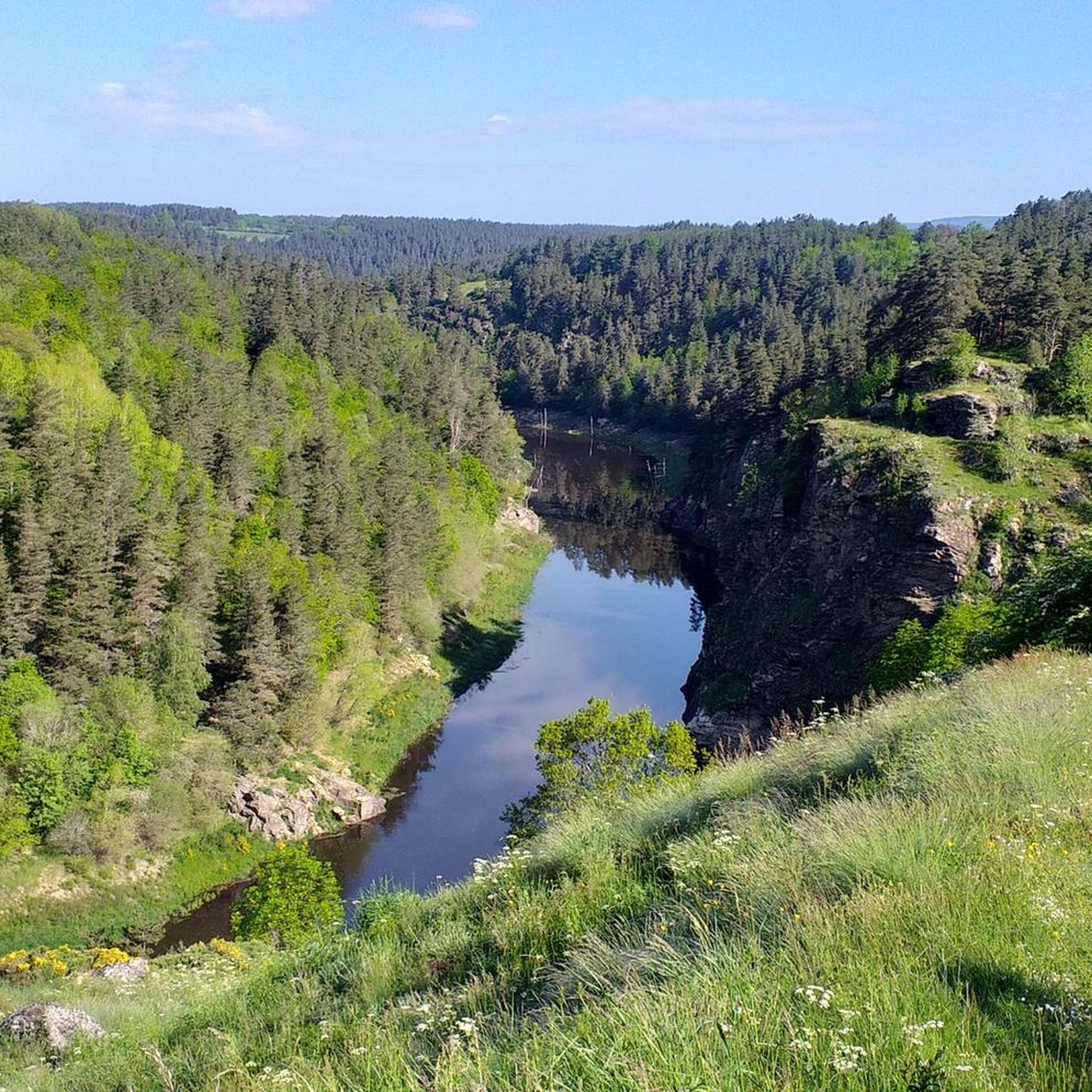
Le Malzieu-Ville is a medieval gem in the Lozère department. The fortified old town, with its towers, gates, and narrow streets, invites exploration. Situated on the banks of the Truyère River, it is a stop on the Way of St. James. The surrounding forests and plateaus offer wonderful hiking and nature experiences.
0
0


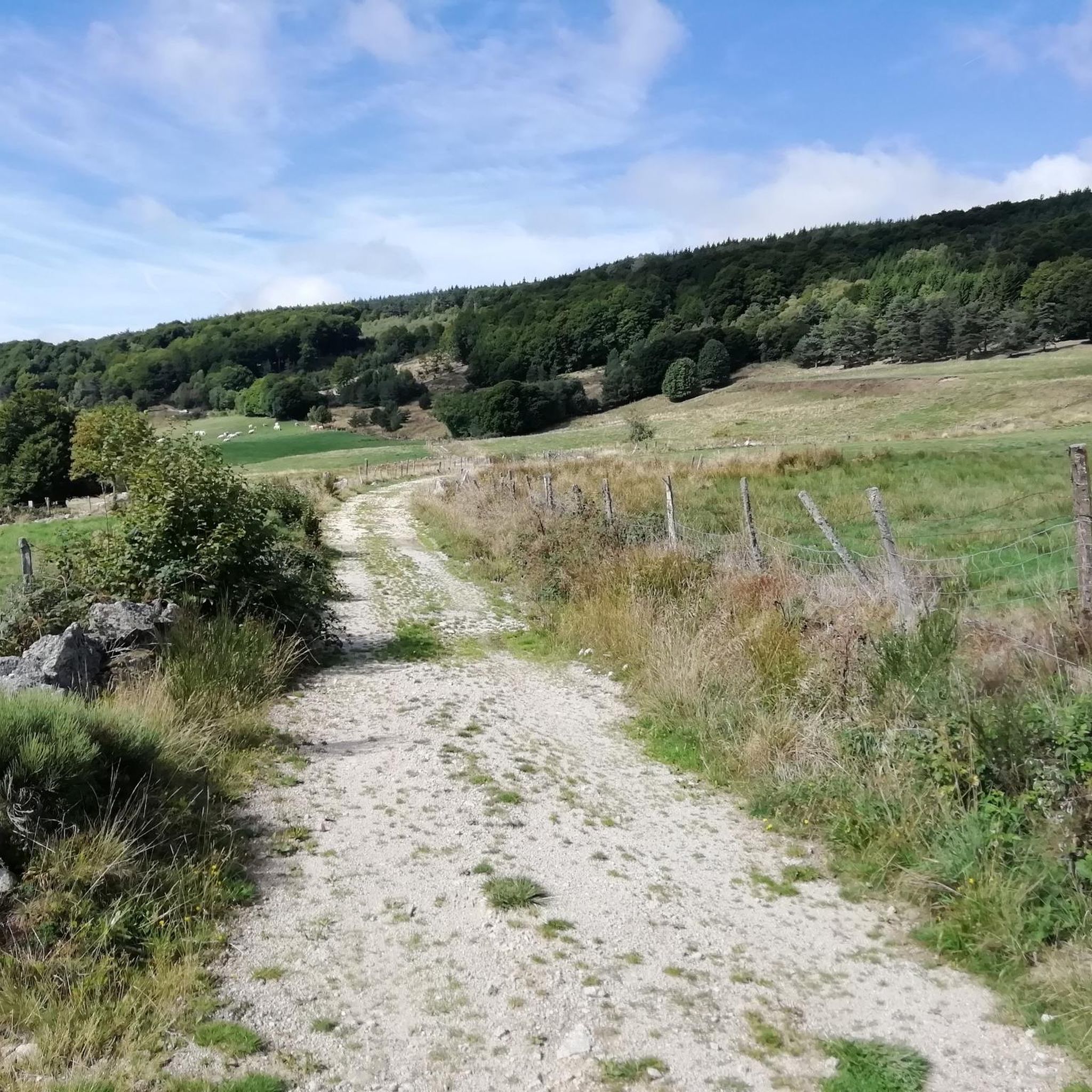
It's nice to see beautiful Aubrac cows on the side of the road.
2
0

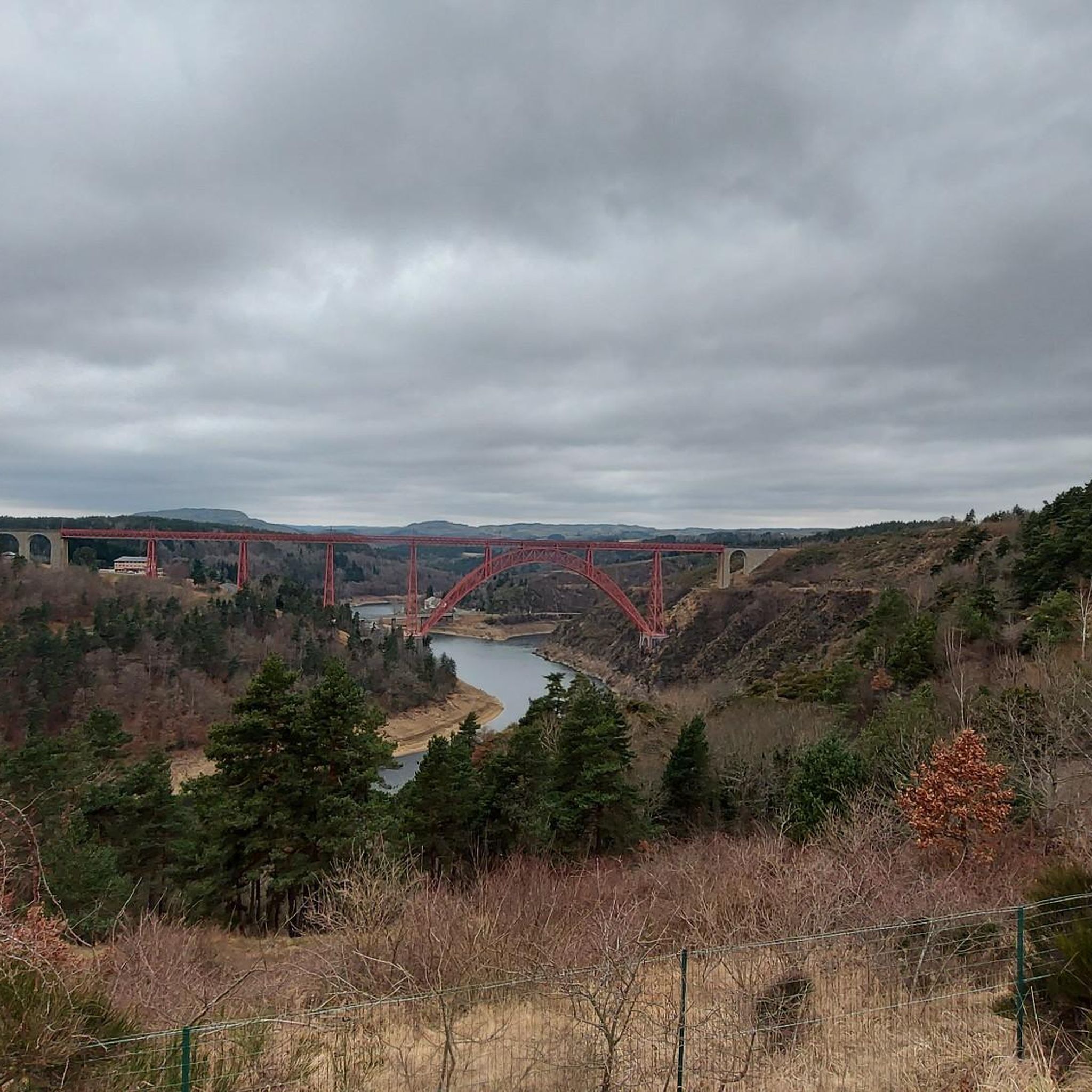
Superb view of the Garabit viaduct, allowing you to cross the Truyère gorges. This metal structure, created by Gustave Eiffel, is 565 meters long and rises to 122 meters above the water. It was at one time the “highest viaduct in the world”!
0
0

very pretty little village
0
0

Panoramic view of Cantal and the lower town.
0
0

Impressive viaduct designed by Eiffel. Go as close as possible for snaps.
0
0
Frequently Asked Questions
How many road cycling routes are available around Chaulhac?
There are over 70 road cycling routes around Chaulhac, offering a wide range of options for cyclists. These routes are highly rated by the komoot community, with an average score of 4.1 stars.
What kind of terrain can I expect when road cycling near Chaulhac?
The region around Chaulhac is characterized by diverse and rugged landscapes, including hilly and mountainous terrain. You can expect significant elevation changes, with segments featuring gradients around 6% and occasional steeper sections up to 10%. Roads are often quiet, winding through forests, past rocky outcrops, and offering expansive views across volcanic and limestone formations.
Are there any easy road cycling routes suitable for beginners around Chaulhac?
Yes, while the region is known for its challenging terrain, there are 4 routes classified as easy. These routes provide a gentler introduction to road cycling in the area, allowing you to enjoy the scenery without overly strenuous climbs.
What are some challenging road cycling routes for experienced cyclists?
For experienced cyclists seeking a challenge, there are 32 difficult routes around Chaulhac. One such route is the View of the Garabit Viaduct – Saint-Flour Medieval Town loop from Loubaresse, which covers 62.7 km with over 1000 meters of elevation gain.
What are some notable landmarks or viewpoints I can see along the road cycling routes?
Many routes offer panoramic views of the dramatic landscape. You can encounter impressive natural sites like Mont Mouchet, which is also home to a Resistance Museum. The Ruynes-en-Margeride – View of the Garabit Viaduct loop from Clavières specifically offers scenic views, including the notable Garabit Viaduct. Other attractions include the Summit of Mont Mouchet and the charming town of Malzieu-Ville.
Are there any circular road cycling routes available?
Yes, many of the road cycling routes around Chaulhac are designed as loops, allowing you to start and finish at the same point. Examples include the Malzieu-Ville – Saint-Alban-sur-Limagnole loop from Saint-Léger-du-Malzieu and the Saint-Chély-d'Apcher – Fournels Village loop from car.
What is the best time of year for road cycling in Chaulhac?
The region is ideal for road cycling during spring, summer, and early autumn. These seasons offer the most favorable weather conditions for tackling the hilly terrain and enjoying the expansive views. Always check local weather forecasts before heading out.
Are there any routes that follow rivers or feature water attractions?
While specific routes in this guide may not directly follow major rivers, the Lozère department is known for its numerous rivers and streams. The broader region offers natural attractions like Cascade du Déroc and Lac du Bouchet. The Via Allier cycle route, accessible from nearby areas like Lavoûte-Chilhac to Langeac, offers lovely views along the Allier river, though some sections can be challenging. You can find more information on the Via Allier at francevelotourisme.com.
What do other road cyclists enjoy most about cycling in Chaulhac?
The area is highly rated by the komoot community, with an average score of 4.1 stars from over 10 reviews. Reviewers often praise the quiet rural roads, the challenging yet rewarding hilly terrain, and the panoramic views of volcanic and limestone formations that define the region's unique character.
Are there any picturesque villages or historical sites accessible by road bike?
Yes, cyclists can explore charming villages like Saint-Flour and Aumont Aubrac, which offer cultural interest and amenities. The Roc-Saint-Pierre chapel is another historical site you might encounter. These locations provide excellent opportunities for a break and to experience the local culture.
What is the typical length and duration of road cycling routes around Chaulhac?
The routes vary significantly in length and duration. For example, the Saint-Chély-d'Apcher loop from Albaret-Sainte-Marie is about 30 km and takes around 1 hour 28 minutes, while the Malzieu-Ville – Saint-Alban-sur-Limagnole loop from Saint-Léger-du-Malzieu is 54.2 km and typically takes 2 hours 45 minutes. There are options for shorter rides and longer, more demanding tours.
Most popular attractions around Chaulhac

Get inspired with the komoot mobile app


Explore more
Browse the best Road cycling routes in other regions.
