The best cycling routes around Bruguières
4.4
(509)
4,938
riders
357
rides
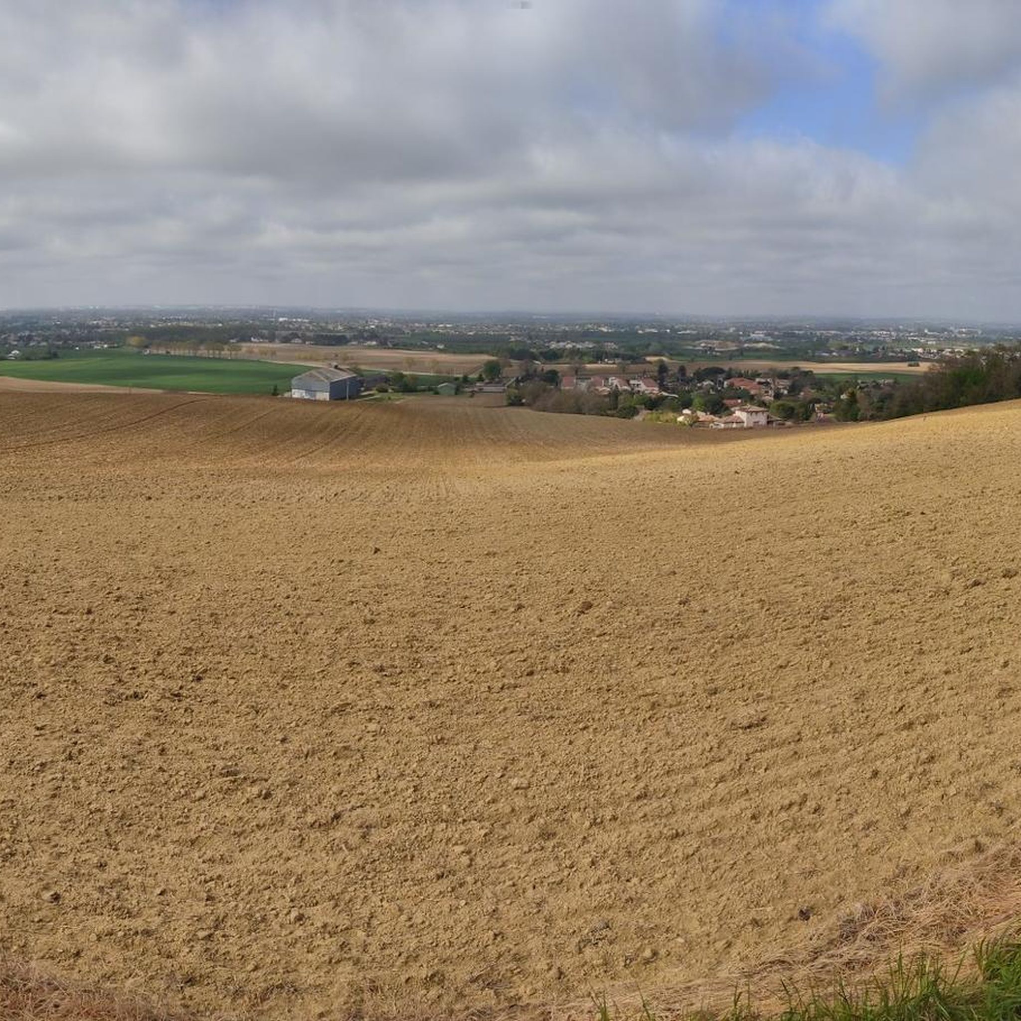
Touring cycling around Bruguières features a landscape characterized by river valleys and agricultural plains, offering generally gentle gradients suitable for cycling. The region includes sections along waterways, such as aqueducts and canals, providing flat and scenic routes. Woodlands and open fields are common, with some trails incorporating unpaved sections. The terrain is largely low-lying, with minimal significant elevation changes.
Best touring cycling routes around Bruguières
- The most popular touring cycling route is Hers Aqueduct – beauzelle ramp loop from Lespinasse…
Last updated: October 12, 2026
4.0
(6)
20
riders
51.7km
03:07
120m
120m
Moderate bike ride. Good fitness required. Mostly paved surfaces. Suitable for all skill levels.
4.3
(3)
21
riders
44km
03:37
490m
490m
Hard bike ride. Very good fitness required. You may need to push your bike for some segments of this route.

4.0
(1)
18
riders
19.2km
01:41
200m
200m
Moderate bike ride. Good fitness required. Mostly paved surfaces. Suitable for all skill levels.
9
riders
26.3km
02:04
210m
220m
Hard bike ride. Good fitness required. You may need to push your bike for some segments of this route.
4.5
(2)
5
riders
31.6km
02:00
60m
60m
Easy bike ride. Great for any fitness level. Mostly paved surfaces. Suitable for all skill levels.
Get access to more routes and recommendations from other explorers.
Already have an account?
Our route recommendations are based on thousands of hikes, rides, and runs completed by other people on komoot.
Start today with a free account
Your next adventure awaits.


Tips from the Community

Simple lock located on the Canal Latéral à la Garonne. Built around 1840, the locks of the Canal de Garonne or Canal Latéral are distinguished by their perfectly parallel side walls (or bajoyers), unlike the locks of the Canal du Midi which are oval in shape.
0
0
The Pont-canal de l'Hers (or Hers lock) is a work of art built around 1840 which allows the lateral canal of the Garonne to span the river Hers. It is attached to the lock number 7 of Hers, a site highly appreciated by cyclists and walkers along the greenway.
0
0
The Canal de Garonne runs along the river for 193 km, punctuated by 53 locks and several canal bridges, including the famous pont-canal d’Agen, the second longest canal bridge in France, entirely built of cut stone.
0
0

It is curious to see how the canal passes over the river by a bridge, like the old aqueducts.
1
0


Beautiful section of the canal, watch out for the cobblestones for road bikes.
1
0

Very nice and varied trail, a few trees felled by last week's wind. Nothing serious.
0
0

Frequently Asked Questions
How many touring cycling routes are available around Bruguières?
There are nearly 400 touring cycling routes around Bruguières, offering a wide variety of options for different skill levels and preferences. You'll find everything from easy canal paths to more challenging routes through wooded areas.
What kind of terrain can I expect on touring cycling routes in Bruguières?
The terrain around Bruguières is generally low-lying, characterized by river valleys and agricultural plains with gentle gradients. Many routes follow waterways like aqueducts and canals, providing flat and scenic sections. You'll also encounter woodlands and open fields, with some trails incorporating unpaved sections.
Are there any easy touring cycling routes suitable for beginners or families?
Yes, Bruguières offers many easy touring cycling routes perfect for beginners or families. These often follow the region's flat canal paths. An example is The raft – Saint-Jory Lock loop from Bruguières, which is an easy 31.8 km (19.8 mi) route.
Where can I find more challenging touring cycling routes in the area?
For more advanced touring cyclists, routes often venture into wooded areas and include dirt paths. Consider Le bois de Montjoire Vieux – Dirt path loop from Cépet, a difficult 44 km (27.3 mi) path that traverses forests with significant elevation changes. Another challenging option is Trail Entrance loop from Saint-Sauveur.
Are there any circular touring cycling routes around Bruguières?
Yes, many touring cycling routes in Bruguières are designed as circular loops, allowing you to start and end in the same location. The Hers Aqueduct – beauzelle ramp loop from Lespinasse is a popular moderate circular route following canal paths.
What are some interesting landmarks or attractions I can see along the cycling routes?
As you cycle around Bruguières, you can discover several interesting landmarks. The Hers Aqueduct is a notable feature, and you might also encounter the Naudin Mill. For a unique sight, the A380 Oversized Route is also nearby.
What do other touring cyclists say about the routes in Bruguières?
The touring cycling routes in Bruguières are highly regarded by the komoot community, with an average rating of 4.4 stars from nearly 600 reviews. Cyclists often praise the varied terrain, from peaceful canal paths to engaging wooded sections, and the overall accessibility for different skill levels.
Are there routes that offer a mix of different landscapes?
Absolutely. Many routes in Bruguières provide a diverse cycling experience. For instance, the Trail Entrance loop from Gratentour offers a varied local terrain, combining different elements of the region's landscape, often completed in about 1 hour 40 minutes.
What is the best season for touring cycling in Bruguières?
Given the region's low-lying terrain and agricultural plains, spring and autumn generally offer the most pleasant conditions for touring cycling in Bruguières, with milder temperatures and beautiful scenery. Summer can be warm, while winter might be cooler but still offers opportunities for cycling.
Are there any specific starting points for the cycling routes?
Many routes are designed as loops, allowing you to start from various points within or near Bruguières. Common starting points include towns like Lespinasse, Cépet, Gratentour, and Saint-Sauveur, as indicated by the names of popular routes.
Can I find cafes or places to rest along the touring cycling routes?
While specific cafes are not listed for every route, the region's network of paths often passes through or near small towns and villages. These settlements typically offer opportunities for refreshments, allowing you to take a break during your ride.
Most popular routes around Bruguières
Most popular attractions around Bruguières

Get inspired with the komoot mobile app


Explore more
Browse the best Cycling routes in other regions.
