The best road cycling routes around Xeuilley
4.7
(59)
2,984
riders
189
rides
Road cycling around Xeuilley offers varied topography within the Meurthe-et-Moselle department of France's Grand Est region. The area is characterized by the Madon River valley, with elevations ranging from 222 to 281 meters, providing both gentle inclines and more challenging climbs. The landscape primarily features farmland interspersed with wooded areas, and the region is close to the extensive Moselle Cycle Path and the Canal des Vosges greenway.
Best road cycling routes around Xeuilley
- The most popular road cycling route is…
Last updated: July 10, 2026
4.5
(4)
63
riders
43.9km
02:03
420m
420m
Moderate road ride. Good fitness required. Mostly well-paved surfaces and easy to ride.
5.0
(1)
35
riders
31.4km
01:18
170m
170m
Easy road ride. Great for any fitness level. Mostly well-paved surfaces and easy to ride.

Sign up for free
34
riders
41.4km
01:49
260m
260m
Easy road ride. Great for any fitness level. Mostly well-paved surfaces and easy to ride.
31
riders
43.3km
01:58
380m
380m
Moderate road ride. Good fitness required. Some segments of this route may be unpaved and difficult to ride.
18
riders
36.6km
01:33
200m
200m
Easy road ride. Great for any fitness level. Mostly well-paved surfaces and easy to ride.
Get access to more routes and recommendations from other explorers.
Sign up for free
Already have an account?
Our route recommendations are based on thousands of hikes, rides, and runs completed by other people on komoot.
Start today with a free account
Your next adventure awaits.
Login or Signup


Tips from the Community

Lovely greenway for cyclists. Pleasant setting.
0
0

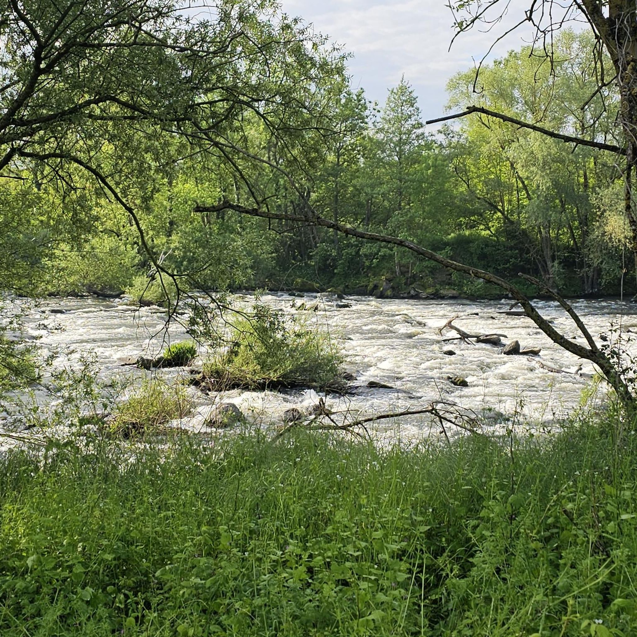
This greenway is part of a project to create a loop of the Moselle River, which will ultimately offer a 60km route along the rivers and canals in the Nancy region. A very pleasant and exotic route away from any traffic.
1
0


Beautiful winding coastline with forest cover.
2
1

The climb to the Col du Minet gives you stunning panoramic views of the surrounding countryside, making it a must-do for road cyclists seeking both the challenge and the beauty of the pass.
2
0

Relatively old bridge over the Moselle.
1
0

Lock on the Canal des Vosges near Crévéchamps https://canalplan.uk/place/w4v9
2
0

Beautiful cycle path along the Canal de Vosges.
7
0
Frequently Asked Questions
How many road cycling routes are available around Xeuilley?
There are over 180 road cycling routes in the Xeuilley area, offering a wide range of options for different skill levels and preferences. This includes 35 easy routes, 127 moderate routes, and 20 more challenging options.
Are there any easy or family-friendly road cycling routes near Xeuilley?
Yes, Xeuilley offers several easy routes suitable for beginners or families. For instance, the Roadbike loop from Pont-Saint-Vincent is an easy 17.5-mile trail that follows gentle paths along the Madon River valley. Another great option is the Canal Path (La Voie Bleue) – Canal de jonction de Nancy loop from Frolois, which offers a flat and scenic ride along the canal.
What kind of terrain can I expect on road cycling routes around Xeuilley?
The terrain around Xeuilley is quite varied. You'll find gentle inclines and more challenging climbs, as the area is situated on a hill overlooking the Madon River valley. The landscape primarily features farmland interspersed with wooded areas, providing picturesque backdrops. Routes also connect to the mostly flat Moselle Cycle Path and the Canal des Vosges greenway for easier rides.
Are there any long-distance cycling options or connections to larger networks?
Absolutely. Xeuilley's location provides easy access to the extensive Moselle Cycle Path (La Boucle de la Moselle), which offers 85-100 km of mostly flat cycling paths. This network allows for longer rides through vineyards and historic sites, connecting towns like Nancy, Liverdun, and Toul. The Canal des Vosges greenway also provides additional long-distance options.
What are some scenic highlights or attractions I can see along the road cycling routes?
Many routes offer scenic views of the Madon River valley, farmland, and wooded areas. You can also explore man-made structures like the Flavigny-sur-Moselle Canal Aqueduct or the Turbine power plant on the junction canal. The Moselle Cycle Path itself is known for breathtaking views and historic sites. For a route with varied scenery and historical interest, consider the Brunehaut Tower – Barrès Monument loop from Xeuilley.
What do other road cyclists enjoy most about road cycling in Xeuilley?
The area is highly rated by the komoot community, with an average score of 4.6 stars from over 70 reviews. Reviewers often praise the varied terrain, from gentle riverside paths to more challenging ascents, and the picturesque French countryside. The accessibility to extensive cycling networks like the Moselle Cycle Path is also a frequently mentioned positive.
Are there challenging road cycling routes for experienced riders?
Yes, Xeuilley offers 20 difficult routes for experienced cyclists seeking a challenge. The varied topography, with elevations ranging up to 281 meters, provides opportunities for significant climbs. The Ascent of Fort Pélissier loop from Pulligny is a moderate route featuring steady climbs through varied terrain, giving a taste of the more demanding rides available.
Are there circular road cycling routes available?
Many of the routes around Xeuilley are designed as loops, allowing you to start and end in the same location. Examples include the popular Lock number 46 – Flavigny-sur-Moselle Hill loop from Frolois, which offers rolling hills and views of the Moselle valley, and the Roadbike loop from Pont-Saint-Vincent.
What is the best time of year for road cycling in Xeuilley?
The Grand Est region, where Xeuilley is located, generally offers pleasant cycling conditions from spring through early autumn. Spring brings blooming landscapes, while summer provides warm weather. Autumn showcases beautiful foliage. It's always advisable to check local weather forecasts before heading out, especially for longer rides.
Are there places to stop for refreshments or cafes along the cycling routes?
While Xeuilley itself is a rural commune, many routes pass through or near charming villages and towns in the Meurthe-et-Moselle department. The Moselle Cycle Path, for example, connects to towns like Nancy, Liverdun, and Toul, where you'll find various cafes, restaurants, and amenities. Planning your route with komoot allows you to identify potential stops along the way.
Is there parking available at the start of the road cycling routes?
While specific parking details vary by route, many starting points in and around Xeuilley, especially in villages or near popular trailheads, offer public parking. It's recommended to check the route details on komoot for information on parking facilities at the specific starting point of your chosen tour.
Most popular attractions around Xeuilley

Get inspired with the komoot mobile app


Explore more
Browse the best Road cycling routes in other regions.
