The best running trails around Cosnes-Et-Romain
4.5
(92)
3,614
runners
17
runs
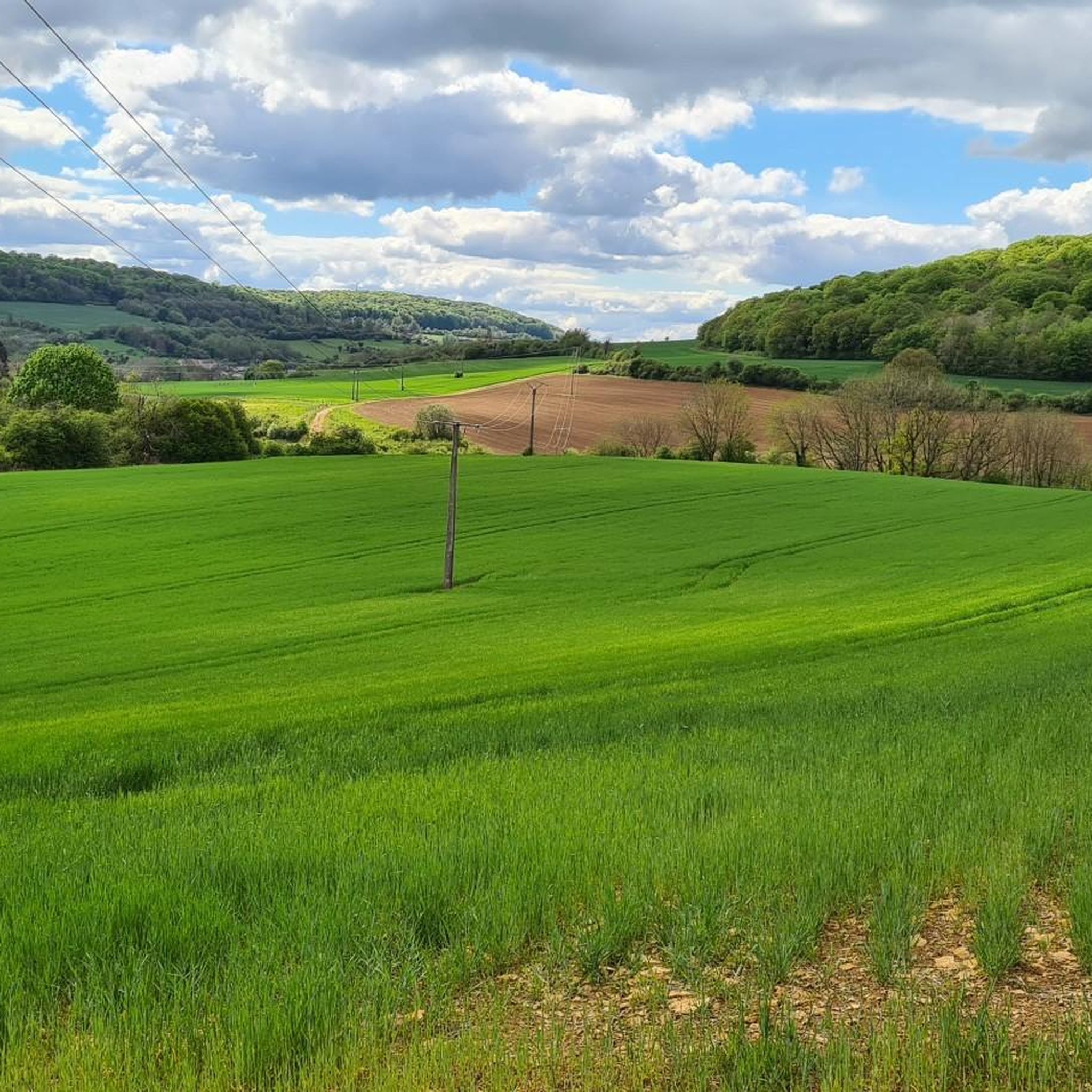
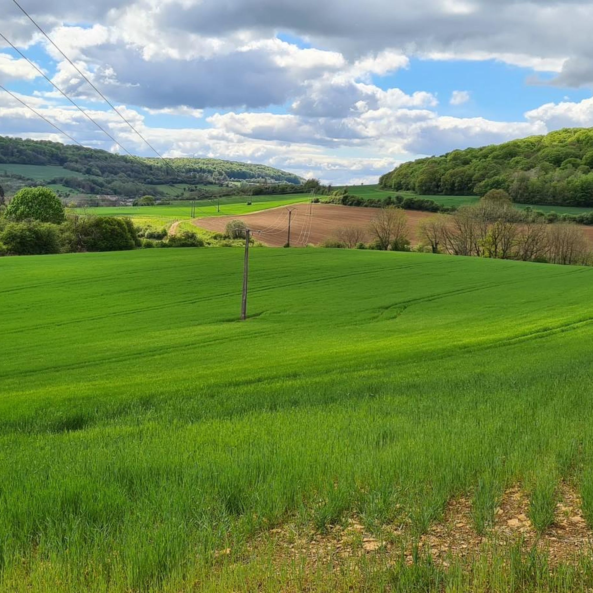
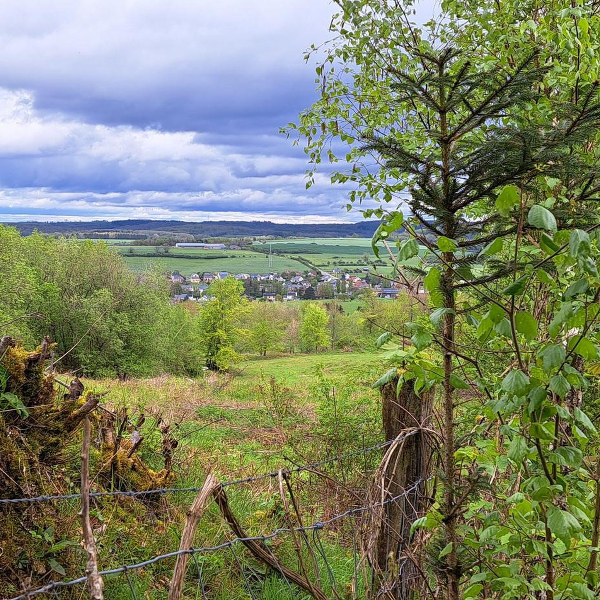
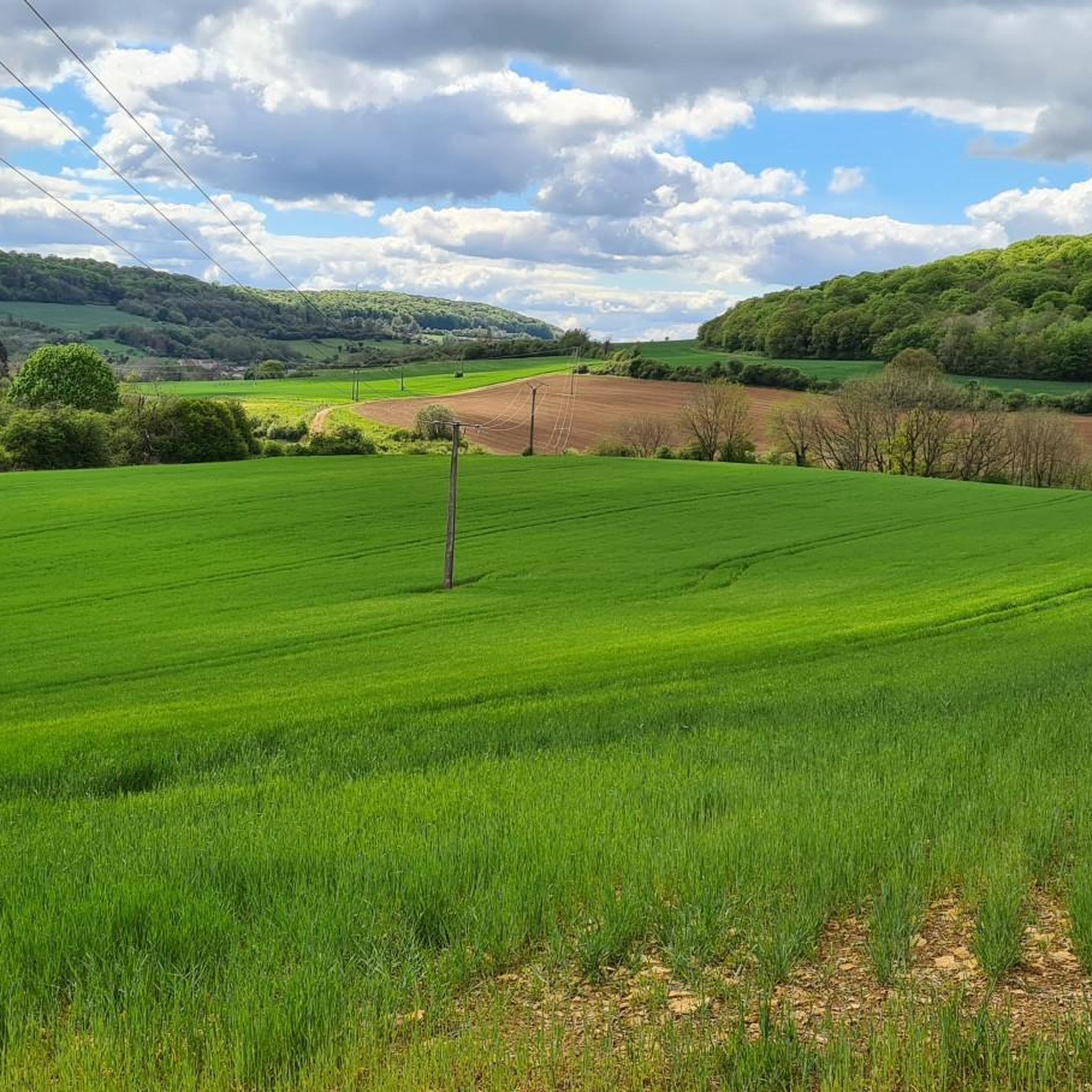
Jogging routes around Cosnes-et-Romain traverse a landscape characterized by its varied topography, with altitudes ranging from 262m to 400m, offering diverse inclines. The region features natural water elements such as the ruisseau de Parivaux, ruisseau du Coulmy, and the Étang de Vaux, which often accompany scenic paths. Proximity to the Giele Botter Nature Reserve provides opportunities for running through protected natural areas. The area's blend of natural features and dedicated running infrastructure makes it suitable for outdoor activities.
Best jogging…
Last updated: October 7, 2026
40
runners
9.07km
00:59
80m
80m
Moderate run. Good fitness required. Mostly paved surfaces. Suitable for all skill levels.
29
runners
17.6km
02:03
350m
350m
Hard run. Very good fitness required. Mostly paved surfaces. Suitable for all skill levels.

26
runners
10.2km
01:11
180m
180m
Moderate run. Good fitness required. Mostly paved surfaces. Suitable for all skill levels.
4.0
(1)
18
runners
12.2km
01:20
90m
90m
Moderate run. Good fitness required. Mostly paved surfaces. Suitable for all skill levels.
5.0
(1)
9
runners
7.72km
00:51
60m
60m
Moderate run. Good fitness required. Mostly paved surfaces. Suitable for all skill levels.
Get access to more routes and recommendations from other explorers.
Already have an account?
Our route recommendations are based on thousands of hikes, rides, and runs completed by other people on komoot.
Start today with a free account
Your next adventure awaits.
Frequently Asked Questions
What kind of running experiences can I expect in Cosnes-Et-Romain?
Cosnes-Et-Romain offers a diverse range of running experiences, from leisurely jogs along tranquil waters like the Étang de Vaux to more challenging trail runs through varied terrain. The region's landscape includes both paved roads and natural forest tracks, providing different surfaces and scenery for runners. You'll find routes that traverse green, wooded areas and even border regions with Belgium.
Are there running routes suitable for beginners or those looking for an easier jog?
Yes, the area around Cosnes-Et-Romain caters to various fitness levels. While many routes are classified as moderate, there are options suitable for beginners. For example, the Haut de la Saul loop from Cosnes-et-Romain is a 6.3 km (3.9 miles) trail that can be completed in about 40 minutes, offering a good option for a less strenuous run.
What natural features or landmarks can I see while running in the area?
Many running routes in Cosnes-Et-Romain incorporate natural features. You might find yourself running alongside streams like the ruisseau de Parivaux and ruisseau du Coulmy, or near the peaceful Étang de Vaux. A notable natural attraction accessible from the area is the Giele Botter Nature Reserve, a reclaimed open-pit iron mine now teeming with diverse flora and fauna, offering marked trails through its unique 'red and green landscape'.
Are there any historical sites or points of interest along the running trails?
Beyond natural beauty, the region offers historical points of interest. While running, you might encounter the Halanzy Iron Mine Ruins. For a deeper dive into history, the Ruins of the Titelberg Oppidum, an ancient Celtic and Gallo-Roman site, is also within reasonable distance and offers trails to explore its historical remnants.
What do other runners say about the jogging routes in Cosnes-Et-Romain?
The running routes in Cosnes-Et-Romain are highly regarded by the komoot community, holding an impressive average rating of 4.6 stars from over 70 reviews. Runners often praise the varied topography, the presence of local streams, and the accessibility of nature areas like the Giele Botter Nature Reserve, making for enjoyable and diverse running experiences.
Can I find circular running routes in Cosnes-Et-Romain?
Yes, many of the running routes in the area are designed as loops, providing convenient circular options. For instance, the Running loop from Cosnes-et-Romain is a popular moderate 7.7 km (4.8 miles) path that allows you to explore the local commune without retracing your steps.
Are the running routes in Cosnes-Et-Romain suitable for families?
The region offers trails that can be enjoyed by families, especially those looking for walks or easier jogs. The varied terrain and natural settings, including the tranquil Étang de Vaux, provide pleasant environments for outdoor activities. Look for routes with lower elevation gains and shorter distances if running with younger family members.
Are dogs allowed on the running trails in Cosnes-Et-Romain?
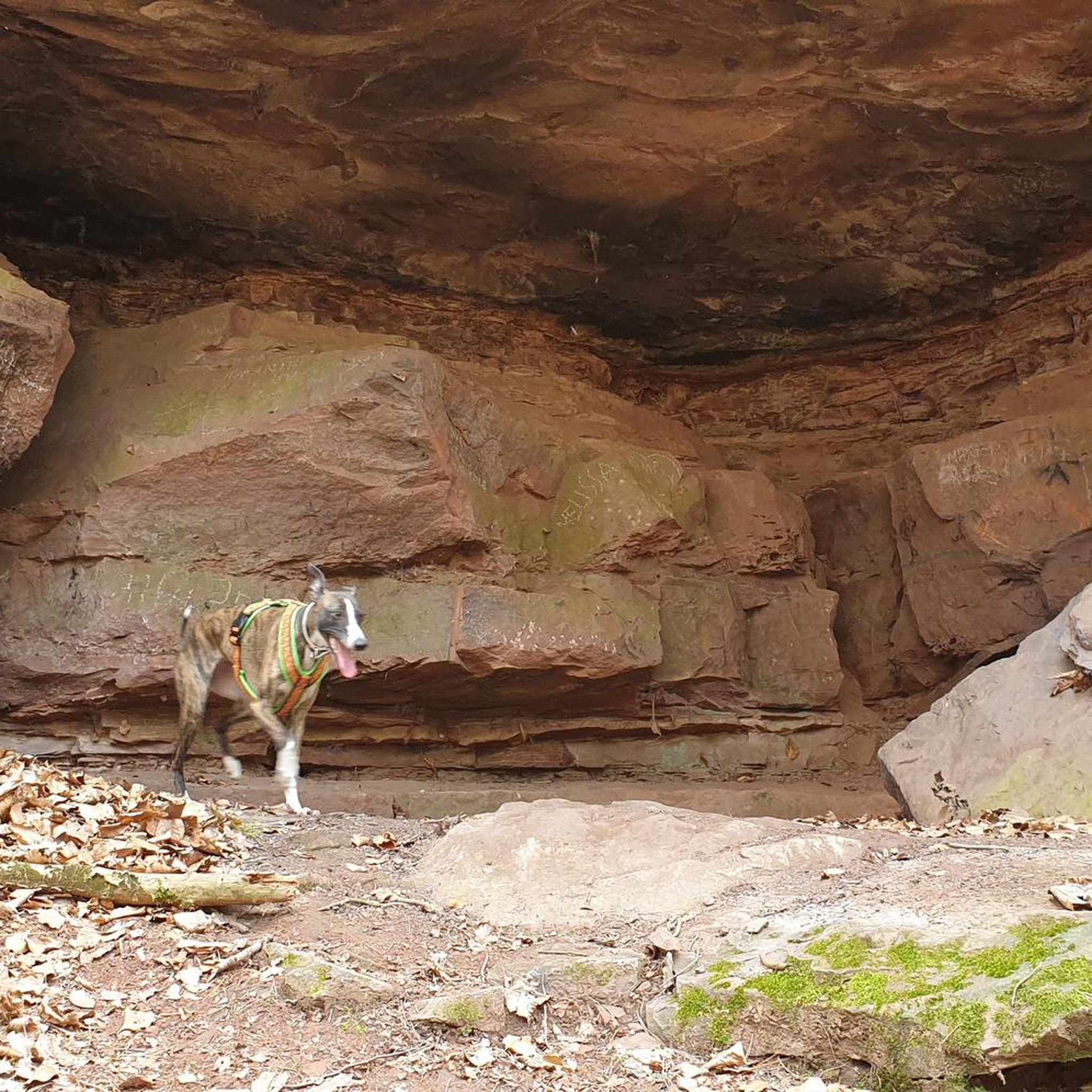
Generally, dogs are welcome on many outdoor trails in France, especially if kept on a leash. While specific rules can vary by location, the natural and wooded areas around Cosnes-Et-Romain are often suitable for running with your dog. Always ensure your pet is under control and respect local signage regarding dog access.
Is parking available near the running trails?
Yes, parking is typically available near the starting points of many running routes and trailheads in and around Cosnes-Et-Romain. As a commune with a focus on outdoor activities, you can often find designated parking areas, especially near popular circuits and natural sites.
How can I access the running routes using public transport?
While some routes might be directly accessible from the center of Cosnes-Et-Romain, public transport options to specific trailheads can vary. It's advisable to check local bus schedules or regional transport links to see which routes might connect you closest to your desired starting point. Many runners choose to drive to the trailheads for convenience.
What is the best time of year to go jogging in Cosnes-Et-Romain?
The region offers good running conditions throughout much of the year. Spring and autumn provide pleasant temperatures and beautiful scenery with changing foliage. Summer can be warm, so early morning or late afternoon runs are ideal. Even in winter, many trails remain accessible, offering a different, often serene, running experience through the wooded landscapes.
Are there any longer running routes for more experienced runners?
For those seeking longer distances, the area does offer options beyond the typical loops. While not explicitly listed as 'long distance' in the guide, combining shorter loops or exploring routes that extend further into the surrounding countryside, such as the Running loop from Longwy (8.2 km), can provide a more extended challenge.
Most popular routes around Cosnes-Et-Romain
Most popular attractions around Cosnes-Et-Romain

Get inspired with the komoot mobile app


Explore more
Browse the best Running Trails & Routes in other regions.
