
The best running trails around Crépey
4.3
(22)
670
runners
58
runs
Jogging around Crépey offers a network of routes through the local countryside. The terrain is characterized by gently rolling hills and open landscapes, with routes often connecting small villages. Elevation changes are generally modest, providing accessible running conditions. The area features a mix of paved and unpaved paths suitable for various running preferences.
Best jogging routes around Crépey
- The most popular jogging route is Running loop from Thuilley-aux-Groseilles, a 5.3 miles (8.6 km) trail that takes about 1 hour…
Last updated: June 26, 2026
98
runners
8.63km
00:54
50m
50m
Moderate run. Good fitness required. Mostly paved surfaces. Suitable for all skill levels.
98
runners
8.56km
00:53
50m
50m
Moderate run. Good fitness required. Mostly paved surfaces. Suitable for all skill levels.

Sign up for free
5.0
(3)
23
runners
4.70km
00:30
30m
30m
Easy run. Great for any fitness level. Mostly paved surfaces. Suitable for all skill levels.
4.0
(1)
5
runners
7.50km
00:51
20m
20m
Moderate run. Good fitness required. Mostly paved surfaces. Suitable for all skill levels.
4
runners
5.30km
00:37
40m
40m
Moderate run. Good fitness required. Mostly paved surfaces. Suitable for all skill levels.
Get access to more routes and recommendations from other explorers.
Sign up for free
Already have an account?
Our route recommendations are based on thousands of hikes, rides, and runs completed by other people on komoot.
Start today with a free account
Your next adventure awaits.
Login or Signup


Frequently Asked Questions
How many jogging routes are available in Crépey?
There are over 50 running routes available around Crépey, catering to various preferences and fitness levels. You'll find a good mix of easy, moderate, and a few more challenging options.
Are there easy running routes for beginners in Crépey?
Yes, Crépey offers several easy running routes perfect for beginners. For instance, the Running loop from Colombey-les-Belles is an easy 2.9-mile (4.7 km) path that provides a straightforward run through open fields and village surroundings.
Can I find circular running routes in Crépey?
Many of the running routes in Crépey are designed as loops, offering convenient circular paths. Examples include the popular Running loop from Thuilley-aux-Groseilles and the Running loop from Goviller, allowing you to start and finish in the same location.
Are dogs allowed on the jogging trails around Crépey?
Generally, dogs are welcome on the rural running trails around Crépey, especially on unpaved paths through fields and forests. However, it's always advisable to keep them on a leash, particularly when passing through villages or near livestock, and to check local regulations for specific areas.
What kind of terrain can I expect on Crépey's running routes?
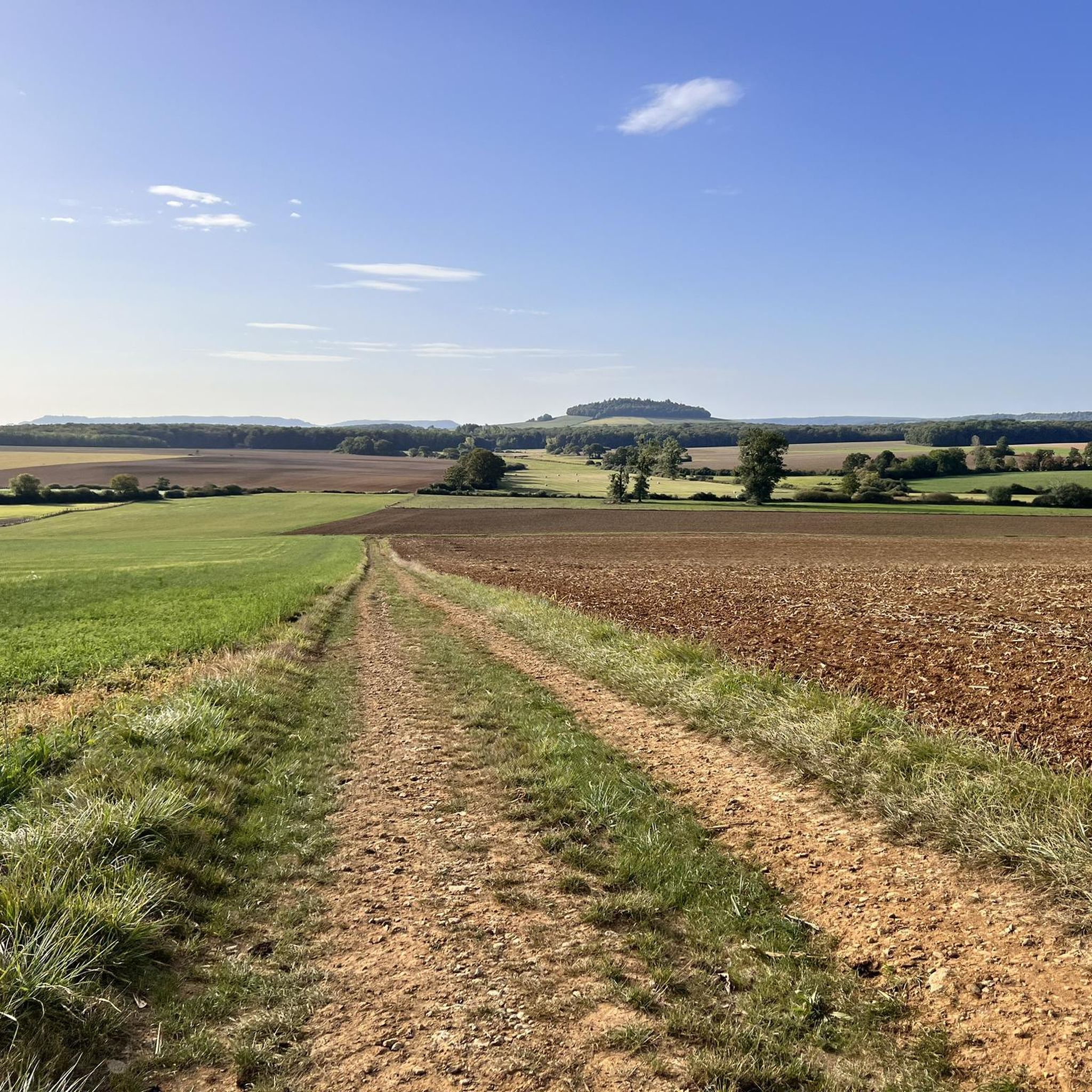
The terrain around Crépey is characterized by gently rolling hills and open landscapes. You'll encounter a mix of paved and unpaved paths, often connecting small villages. Elevation changes are generally modest, making for accessible running conditions across rural and village surroundings.
Are there any viewpoints or interesting sights along the running routes?
While the routes primarily focus on the natural rural landscape, you can find interesting sights nearby. For example, the View of the Moselle Valley and the village of Maron from the Dent de la Roche viewpoint offers scenic vistas. Other points of interest include the Sainte-Reine Cave and historical remains like the Remains of a powder magazine.
How long are the running routes typically in Crépey?
Running routes in Crépey vary in length. Many popular loops range from 2.9 miles (4.7 km) to 5.3 miles (8.6 km), taking about 30 minutes to an hour to complete. There are also longer options, such as the Running loop from Dolcourt, which is over 8 miles (13 km) long.
Is there public transport access to the jogging routes in Crépey?
Crépey and its surrounding villages are primarily rural, so public transport options directly to trailheads might be limited. It's often more convenient to access the routes by car, especially for those starting from smaller villages. Checking local bus schedules for specific villages near your chosen route is recommended.
Are there parking facilities near the running routes in Crépey?
Yes, most running routes in Crépey start from villages like Thuilley-aux-Groseilles, Colombey-les-Belles, Goviller, Allain, or Dolcourt, where you can typically find street parking or small public parking areas. These are usually sufficient for runners accessing the trails.
What is the best time of year for running in Crépey?
The best time for running in Crépey is generally during spring, summer, and early autumn. These seasons offer pleasant temperatures and lush landscapes. Spring brings blooming fields, while autumn provides beautiful foliage. Winter running is possible, but conditions may vary with colder temperatures and potentially muddy or icy paths.
What do other runners say about the routes in Crépey?
The running routes in Crépey are highly rated by the komoot community, with an average score of 4.4 stars from over 15 reviews. Runners often praise the quiet rural atmosphere, the gentle gradients, and the variety of paths through open fields and village surroundings, making for an enjoyable experience.
Are there any longer or more challenging running routes in Crépey?
While many routes feature modest elevation, some offer a bit more challenge. The Running loop from Dolcourt, for example, is a moderate 8.1-mile (13 km) route with over 250 meters of elevation gain, providing a longer and more demanding run through the countryside.
Most popular attractions around Crépey

Get inspired with the komoot mobile app


Explore more
Browse the best Running Trails & Routes in other regions.
