The best running trails around Cons-La-Grandville
4.5
(56)
4,470
runners
272
runs
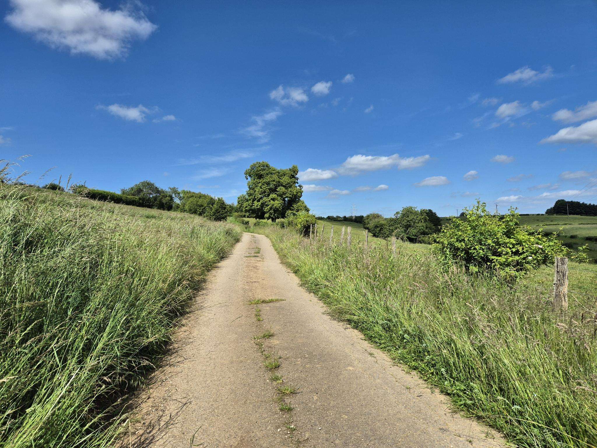
Jogging routes around Cons-La-Grandville are defined by a diverse landscape, situated on a rocky promontory overlooking the Chiers River. The region features undulating terrain, with numerous wooded hills and forests providing varied paths for runners. This geographical setting offers a mix of challenging ascents and leisurely riverside running opportunities.
Best jogging routes around Cons-La-Grandville
- The most popular jogging route is Running loop from Villers-la-Chèvre, a 6.6 miles (10.6 km) trail that takes 1 hour 6 minutes to complete, leading…
Last updated: October 7, 2026
18
runners
10.6km
01:06
90m
90m
Moderate run. Good fitness required. Mostly paved surfaces. Suitable for all skill levels.
18
runners
8.98km
00:56
90m
90m
Moderate run. Good fitness required. Mostly paved surfaces. Suitable for all skill levels.

11
runners
13.8km
01:31
200m
200m
Moderate run. Good fitness required. Mostly paved surfaces. Suitable for all skill levels.
4.0
(1)
7
runners
12.0km
01:16
150m
150m
Moderate run. Good fitness required. Mostly paved surfaces. Suitable for all skill levels.
4.0
(1)
4
runners
9.94km
01:04
140m
130m
Moderate run. Good fitness required. Mostly paved surfaces. Suitable for all skill levels.
Get access to more routes and recommendations from other explorers.
Already have an account?
Our route recommendations are based on thousands of hikes, rides, and runs completed by other people on komoot.
Start today with a free account
Your next adventure awaits.
Frequently Asked Questions
How many running routes are available in Cons-la-Grandville?
Cons-la-Grandville offers a wide selection of running routes, with over 280 trails to explore. This includes a variety of options suitable for different fitness levels, from easy strolls to more challenging runs.
What kind of terrain can I expect on jogging routes in Cons-la-Grandville?
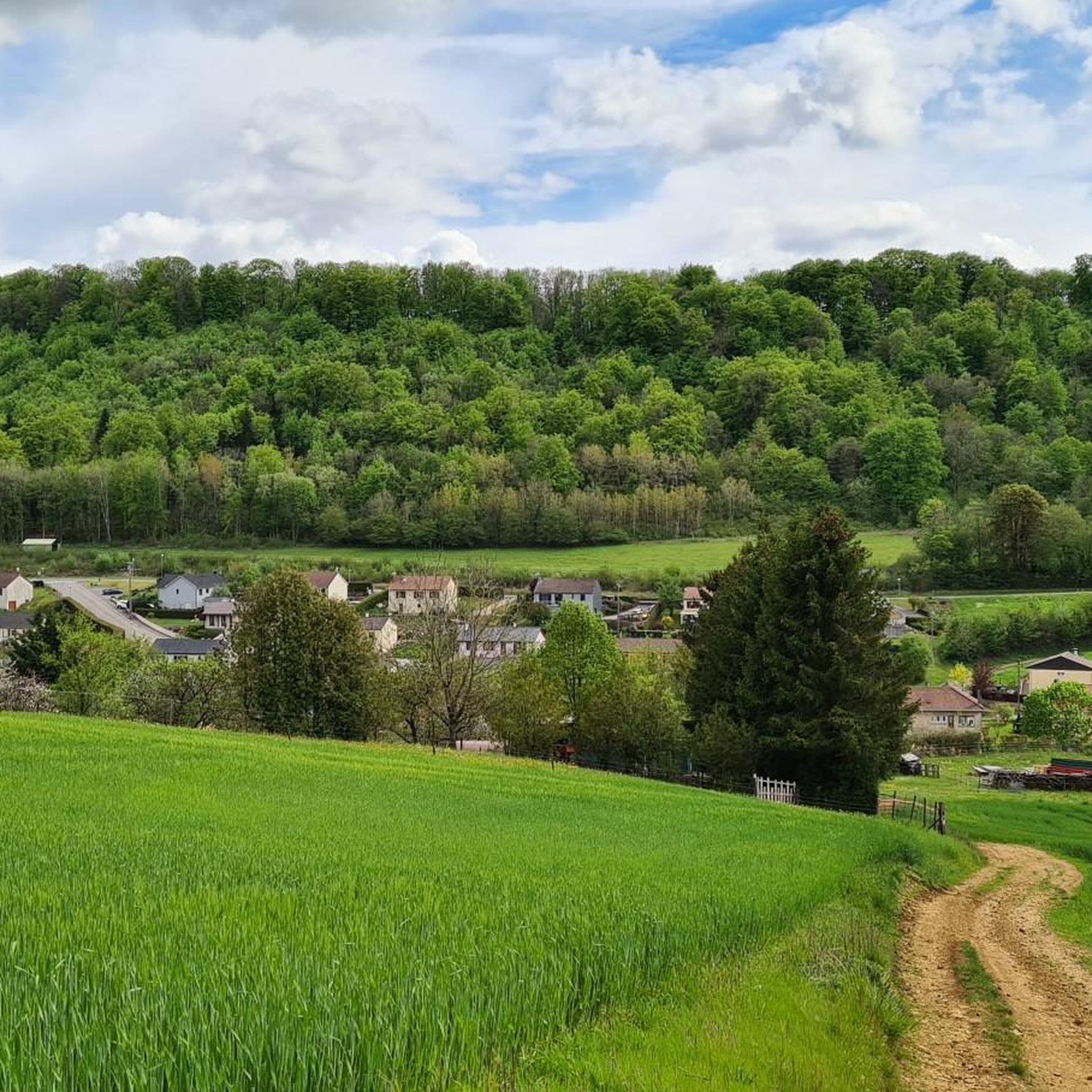
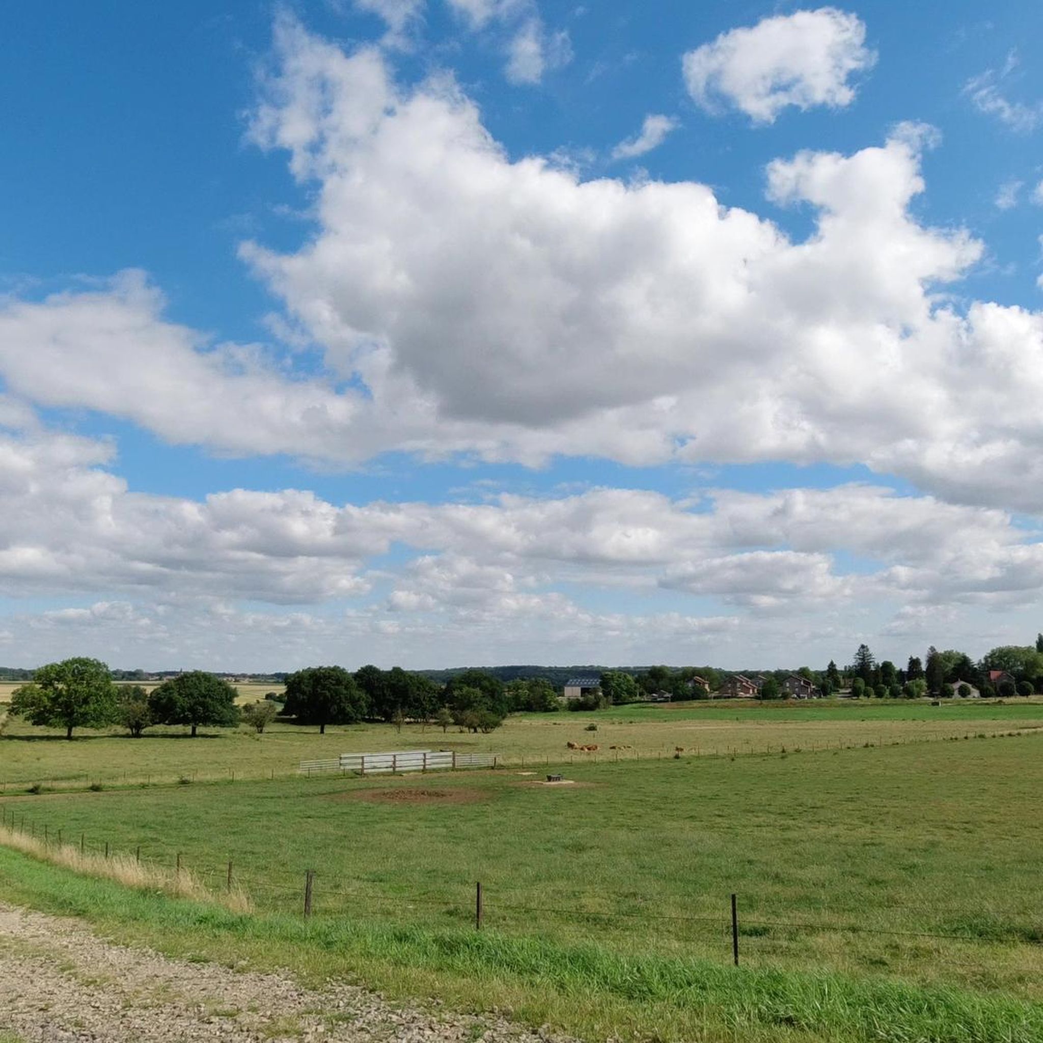
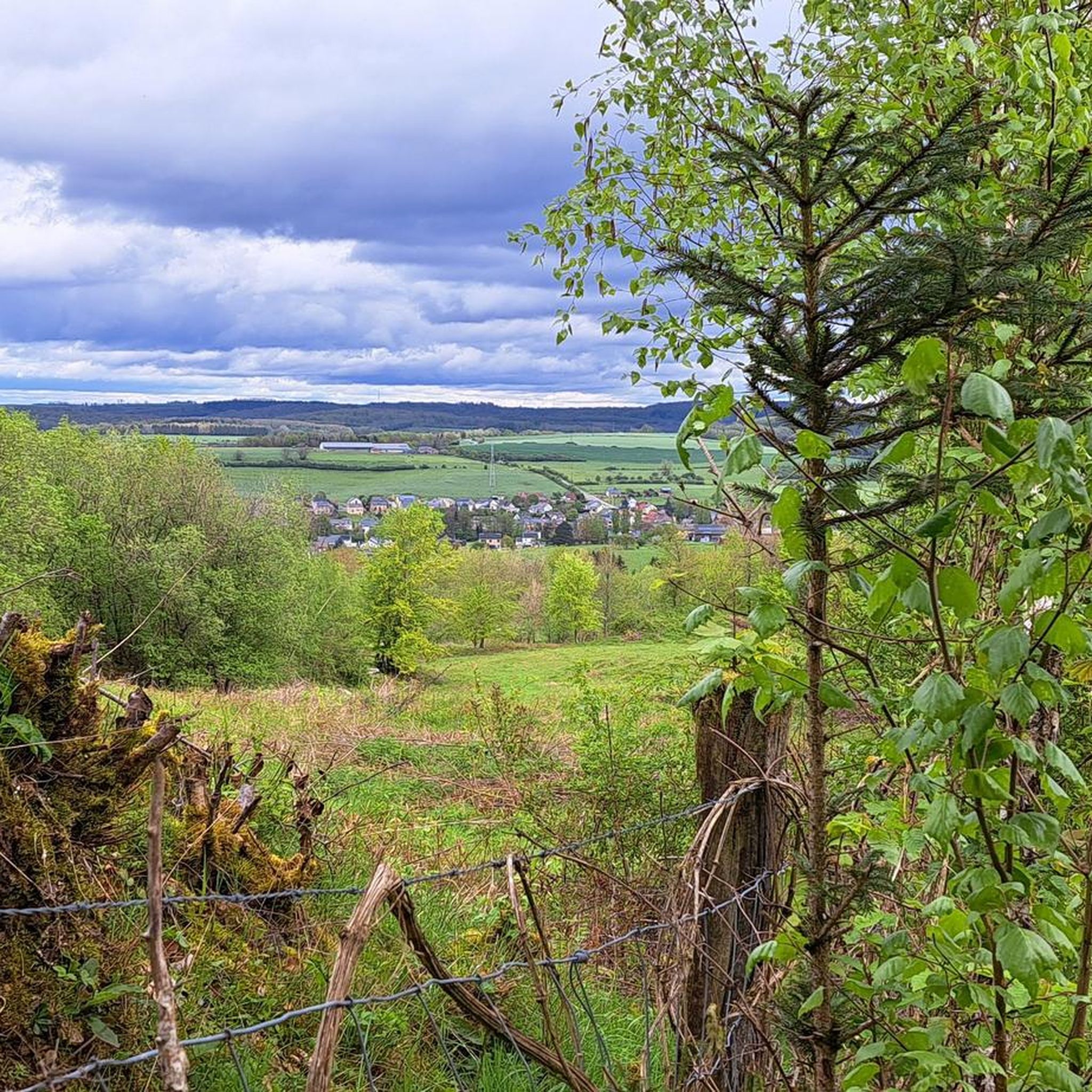
The terrain in Cons-la-Grandville is quite diverse, characterized by its position on a rocky promontory overlooking the Chiers River. You'll find undulating paths through wooded hills and forests, as well as scenic routes following the river. This mix provides both challenging ascents and more leisurely sections.
Are there running routes suitable for beginners in Cons-la-Grandville?
Yes, there are several running routes ideal for beginners. Out of the many trails, 37 are classified as easy, offering gentle gradients and manageable distances for those new to jogging or looking for a relaxed run.
Are there any circular running routes in Cons-la-Grandville?
Many of the running routes in Cons-la-Grandville are designed as circular loops, allowing you to start and finish at the same point. For example, the Cons-la-Grandville Castle loop from Lexy offers a scenic circular experience, incorporating historical sights.
Can I bring my dog on the running trails in Cons-la-Grandville?
While specific rules can vary, generally, many outdoor trails in the Cons-la-Grandville area are dog-friendly. It's always recommended to keep your dog on a leash, especially in forested areas or near wildlife, and to clean up after them. Look for signs indicating any specific restrictions.
What historical landmarks or natural sights can I see while jogging?
Jogging in Cons-la-Grandville offers a chance to see both historical landmarks and natural beauty. You can run past the impressive Château de Cons-la-Grandville, explore paths near the Benedictine Priory and its botanical park, or discover the historic Halanzy Iron Mine Ruins. Many routes also follow the picturesque Chiers River.
Are there running paths along the Chiers River?
Yes, the Chiers River is a prominent natural feature in the region, and several running routes utilize paths along its course. These riverside promenades often follow cyclo-pedestrian paths, providing flat and scenic options for a refreshing run.
What do other runners say about the trails in Cons-la-Grandville?
The running trails in Cons-la-Grandville are highly regarded by the komoot community, boasting an average rating of 4.6 stars from over 40 reviews. Runners often praise the varied terrain, the beautiful natural surroundings, and the opportunity to combine exercise with exploring historical sites.
Are there any challenging running routes for experienced runners?
Absolutely. For experienced runners seeking a challenge, Cons-la-Grandville offers 20 routes classified as difficult. These trails often feature more significant elevation changes and technical sections, particularly through the wooded hills, providing a demanding and rewarding experience. An example is the Running loop from Ugny, which features undulating terrain.
What is the best time of year for running in Cons-la-Grandville?
Cons-la-Grandville is enjoyable for running throughout much of the year. Spring and autumn offer pleasant temperatures and vibrant scenery, with the changing leaves in fall being particularly beautiful. Summer provides shaded forest paths, while winter runs can be picturesque, though some trails might be more technical after certain weather conditions.
Are there any running routes that offer significant elevation gain?
Yes, due to the region's 'vallonné' or undulating terrain, many routes incorporate notable elevation changes. For instance, the Cons-la-Grandville Castle loop from Ugny includes over 150 meters of ascent, providing a good workout and rewarding views from higher points, such as near the château.
Where can I find parking near the running trails in Cons-la-Grandville?
While specific parking areas are not detailed for every trail, many routes in Cons-la-Grandville start from or pass through villages like Lexy, Ugny, or Villers-la-Chèvre, where public parking is generally available. The area around the Château de Cons-la-Grandville also often has accessible parking for visitors.
Most popular routes around Cons-La-Grandville
Most popular attractions around Cons-La-Grandville

Get inspired with the komoot mobile app


Explore more
Browse the best Running Trails & Routes in other regions.
