The best road cycling routes around Bischofsgrüner Forst
4.6
(161)
1,394
riders
99
rides
Road cycling around Bischofsgrüner Forst offers diverse landscapes within the Fichtel Mountains of Upper Franconia, Germany. The region features mountainous terrain with prominent peaks like Ochsenkopf (1024m) and Schneeberg (1053m), providing challenging ascents and rewarding descents. Dense forests characterize much of the area, offering shaded routes and a tranquil atmosphere. The source of the White Main river is also located nearby, contributing to the geographical features.
Best road cycling routes around Bischofsgrüner Forst
- The most popular road cycling route is…
Last updated: July 10, 2026
5.0
(1)
23
riders
111km
05:44
1,700m
1,700m
Hard road ride. Very good fitness required. Some segments of this route may be unpaved and difficult to ride.
5.0
(1)
43
riders
42.0km
02:03
580m
580m
Moderate road ride. Good fitness required. Some segments of this route may be unpaved and difficult to ride.

Sign up for free
5.0
(1)
33
riders
29.1km
01:25
350m
350m
Moderate road ride. Good fitness required. Mostly well-paved surfaces and easy to ride.
22
riders
Hard road ride. Very good fitness required. Some segments of this route may be unpaved and difficult to ride.
10
riders
113km
05:25
1,320m
1,320m
Hard road ride. Very good fitness required. Some segments of this route may be unpaved and difficult to ride.
Get access to more routes and recommendations from other explorers.
Sign up for free
Already have an account?
Our route recommendations are based on thousands of hikes, rides, and runs completed by other people on komoot.
Start today with a free account
Your next adventure awaits.
Login or Signup
Popular around Bischofsgrüner Forst
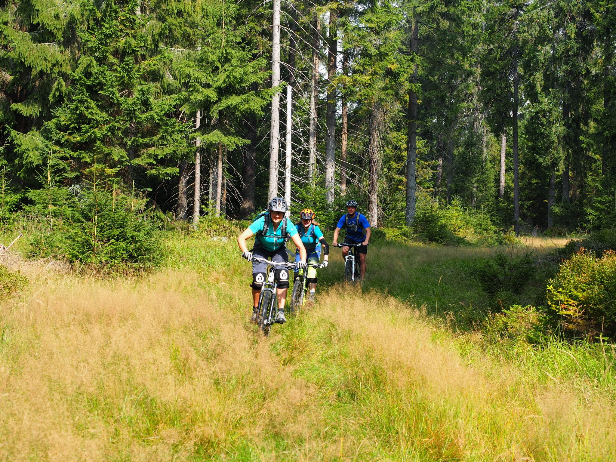
The best bike Tours around Nuremberg – MTB microadventures with the VGN
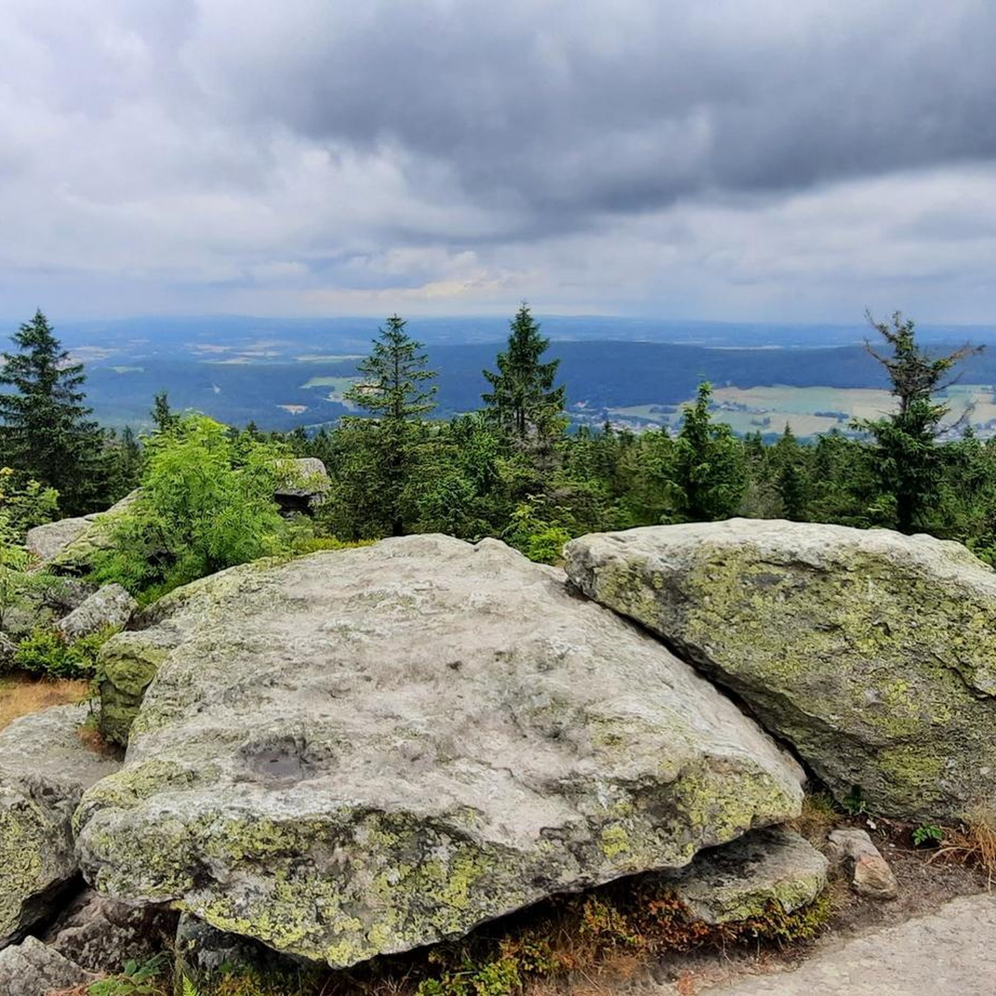
Hiking around Bischofsgrüner Forst
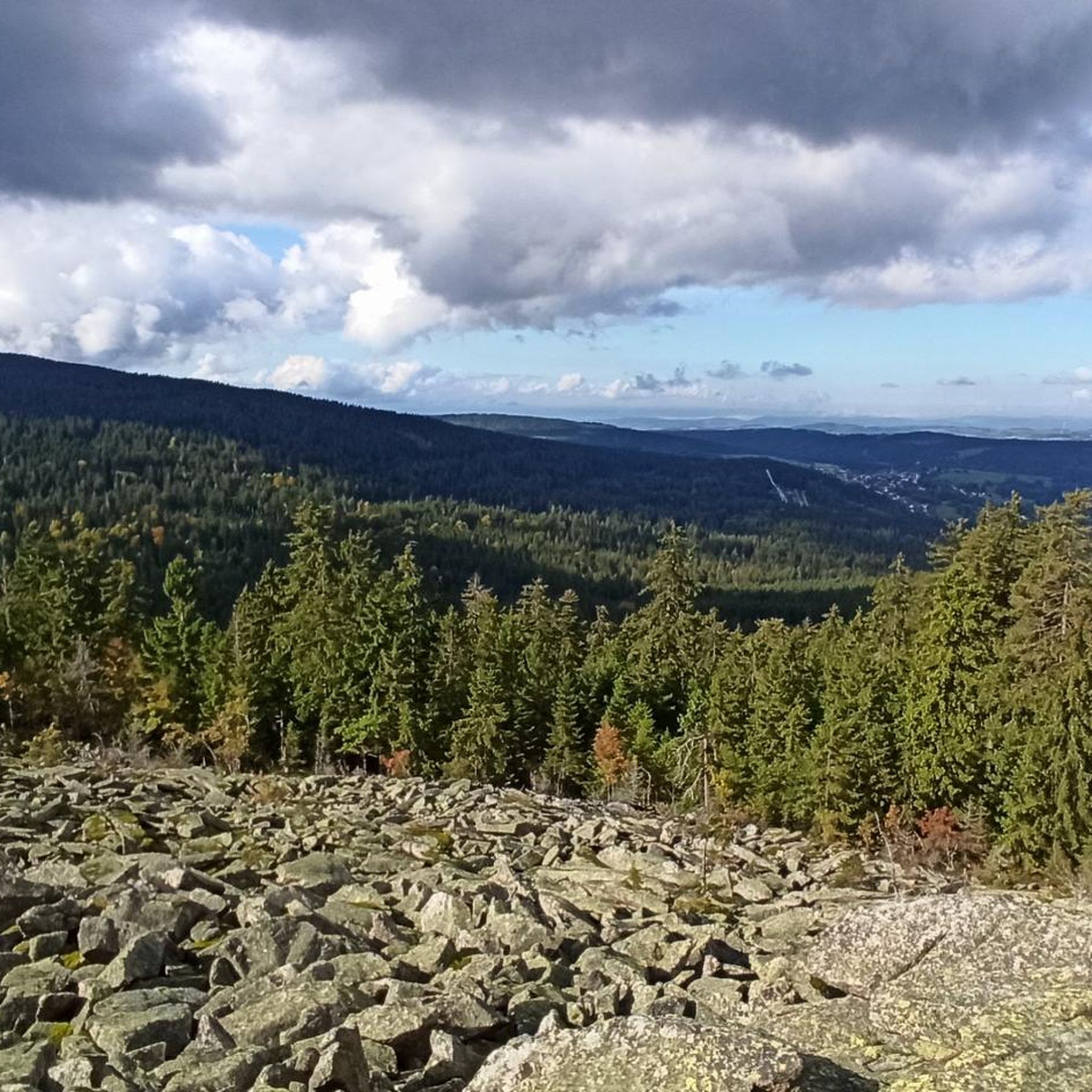
MTB Trails around Bischofsgrüner Forst
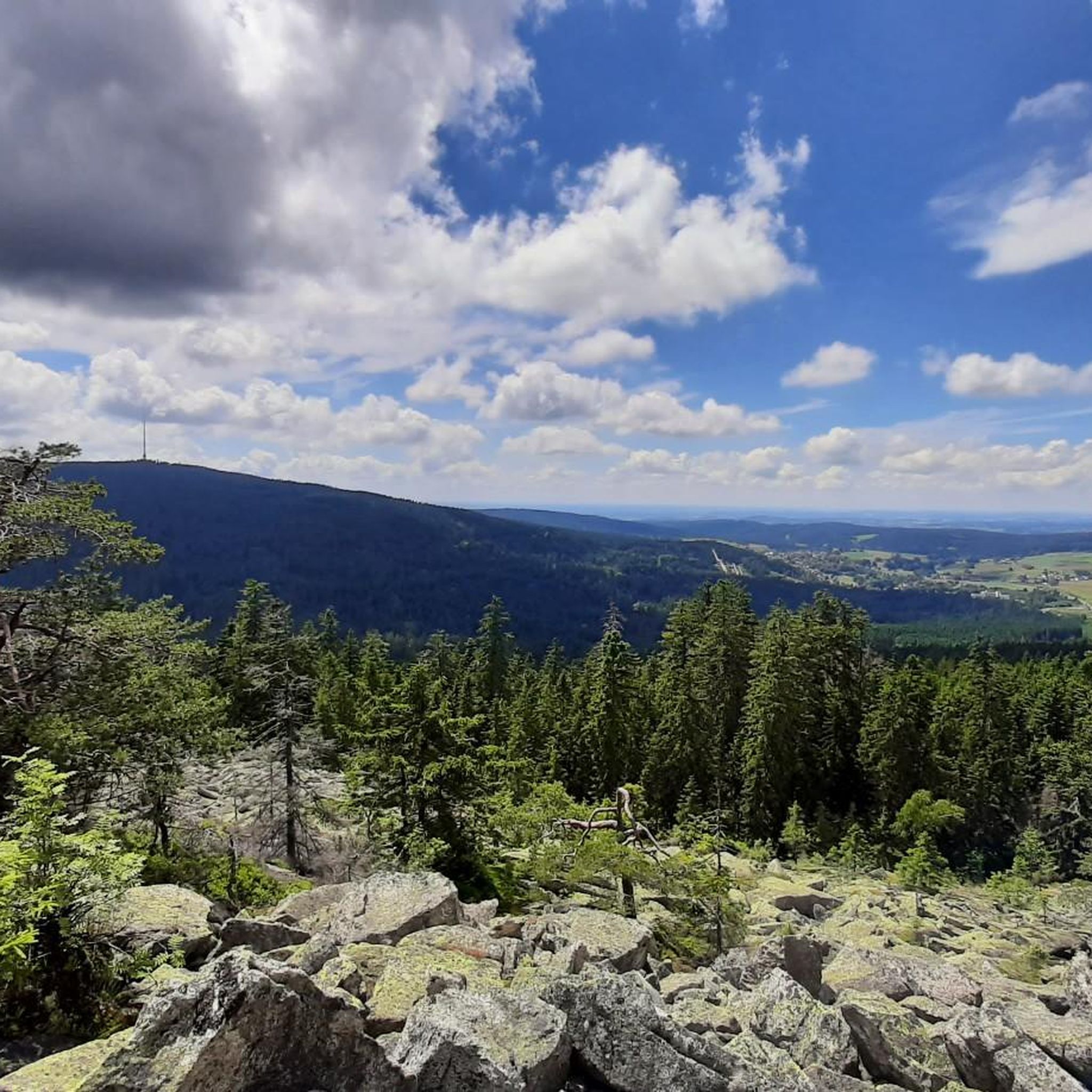
Cycling around Bischofsgrüner Forst
Running Trails around Bischofsgrüner Forst

Gravel biking around Bischofsgrüner Forst
Mountain Hikes around Bischofsgrüner Forst
Other adventures around Bischofsgrüner Forst

Tips from the Community

A cool cycle path all summer long, always following the "Weissen Main" in the shade of ancient trees and rocks.
0
0

Bischofsgrün is, so to speak, the "heart" of the Fichtel Mountains – a state-recognized health resort nestled in the valley between the two highest peaks in Northern Bavaria, the Ochsenkopf (1024 m) and the Schneeberg (1051 m). Bischofsgrün is the ideal starting point for almost any outdoor activity: The modern Ochsenkopf North Cable Car takes you to the summit year-round. In summer, the Alpine Coaster (a year-round toboggan run), the climbing park, and downhill trails beckon. In winter, the town is a hotspot for downhill and cross-country skiing. The region boasts a vast network of hiking trails, including the famous Franconian Mountain Trail.
4
0

Well, you have to work hard to climb the almost 800 meters 😉. The traffic is a bit tiring.
1
0

Very nicely laid out, with opportunities to stop for a bite to eat or simply take a rest.
0
0

Bischofsgrün is the pearl of the Fichtelgebirge.
4
2

On asphalt through the forest in an idyllic valley, completely car-free. The perfect cycling route! When it rains, fire salamanders slither across the path!
0
0

Moderate climb in a secluded setting. Great!
0
0
The climb is quite steep, but you are rewarded with a great descent
0
1
Frequently Asked Questions
How many road cycling routes are available in Bischofsgrüner Forst?
There are over 100 road cycling routes in Bischofsgrüner Forst, offering diverse options for various skill levels. These include 10 easy, 69 moderate, and 23 difficult routes, ensuring something for every cyclist.
What kind of terrain can I expect when road cycling in Bischofsgrüner Forst?
The region is characterized by mountainous terrain within the Fichtel Mountains, featuring prominent peaks like Ochsenkopf (1024m) and Schneeberg (1053m). This means you can expect challenging ascents and rewarding descents, often through dense forests providing shaded routes and a tranquil atmosphere. The area is known for significant elevation changes.
Are there any long-distance road cycling routes in the area?
Yes, Bischofsgrüner Forst offers several longer routes. For instance, the Bischofsgrün Market Square – Schneebergstraße – 798 m loop from Bischofsgrün is a challenging 110.9 km ride. Another option is the Thurnau Castle – View of Plassenburg Castle loop from Bischofsgrün, which spans over 112 km and includes significant elevation gain.
What are some notable landmarks or viewpoints along the road cycling routes?
Road cycling routes in Bischofsgrüner Forst often pass by or offer views of significant natural features. You might encounter the Nußhardt Summit with its distinctive rock formations, or the source of the White Main river. The Asenturm on Ochsenkopf also provides spectacular panoramas over the Fichtelgebirge.
What is the best time of year for road cycling in Bischofsgrüner Forst?
The Fichtel Mountains offer a pleasant environment for cycling, particularly from spring through autumn. The forested areas provide shade during warmer months, and the spa town status ensures excellent air quality. Always check local weather conditions, especially for higher elevations, as they can change rapidly.
Are there any circular road cycling routes available?
Many routes in Bischofsgrüner Forst are designed as loops, allowing you to start and end at the same point. An example is the Hempelsberg Ski Lift loop from Fleckl, a moderate 30.2 km trail through forested areas. Another is the View of Rauher Kulm – Ochsenkopf South loop from Fleckl, offering views and exploring the southern slopes of Ochsenkopf.
What do other cyclists say about road cycling in Bischofsgrüner Forst?
The road cycling routes in Bischofsgrüner Forst are highly rated by the komoot community, with an average score of 4.6 stars from over 130 reviews. Over 1,200 road cyclists have used komoot to explore the varied terrain, often praising the challenging ascents, scenic descents, and tranquil forest paths.
Can I find routes suitable for beginners or less experienced road cyclists?
Yes, while the region is known for its mountainous terrain, there are 10 routes classified as 'easy' and 69 as 'moderate'. These routes offer less demanding elevation profiles, making them suitable for beginners or those looking for a more relaxed ride. Look for routes with lower elevation gain and shorter distances.
Are there any specific routes that offer views of castles or other historical sites?
Yes, some routes extend to areas with historical significance. For example, the difficult Thurnau Castle – View of Plassenburg Castle loop from Bischofsgrün offers distant views of Plassenburg Castle and passes by Thurnau Castle, combining cycling with cultural exploration.
Where can I find parking for road cycling routes in Bischofsgrüner Forst?
Many routes start from towns and villages like Bischofsgrün or Fleckl, where public parking is generally available. It's advisable to check specific starting points of your chosen route for the most convenient parking options. Public transport connections are also available to some areas.
Are there any routes that take me near lakes or other water features?
Yes, some routes might bring you close to water features. For instance, Fichtel Lake is a notable natural monument in the area, and while not directly on every road cycling route, it's a significant point of interest that can be incorporated into a ride or visited separately.
What are the highest points I can reach on a road bike in this region?
The Fichtel Mountains are home to Ochsenkopf (1024m) and Schneeberg (1053m), the two highest peaks. Many road cycling routes, such as the Schneebergstraße – 798 m – Reinersreuth–Zell Cycle Path loop from Warmensteinacher Forst-Nord, involve significant climbs towards these higher elevations, offering challenging rides and panoramic views.
Most popular routes around Bischofsgrüner Forst
Most popular attractions around Bischofsgrüner Forst

Get inspired with the komoot mobile app


Explore more
Browse the best Road cycling routes in other regions.
