The best walks and hikes around Leyr
4.6
(307)
1,644
hikers
187
hikes
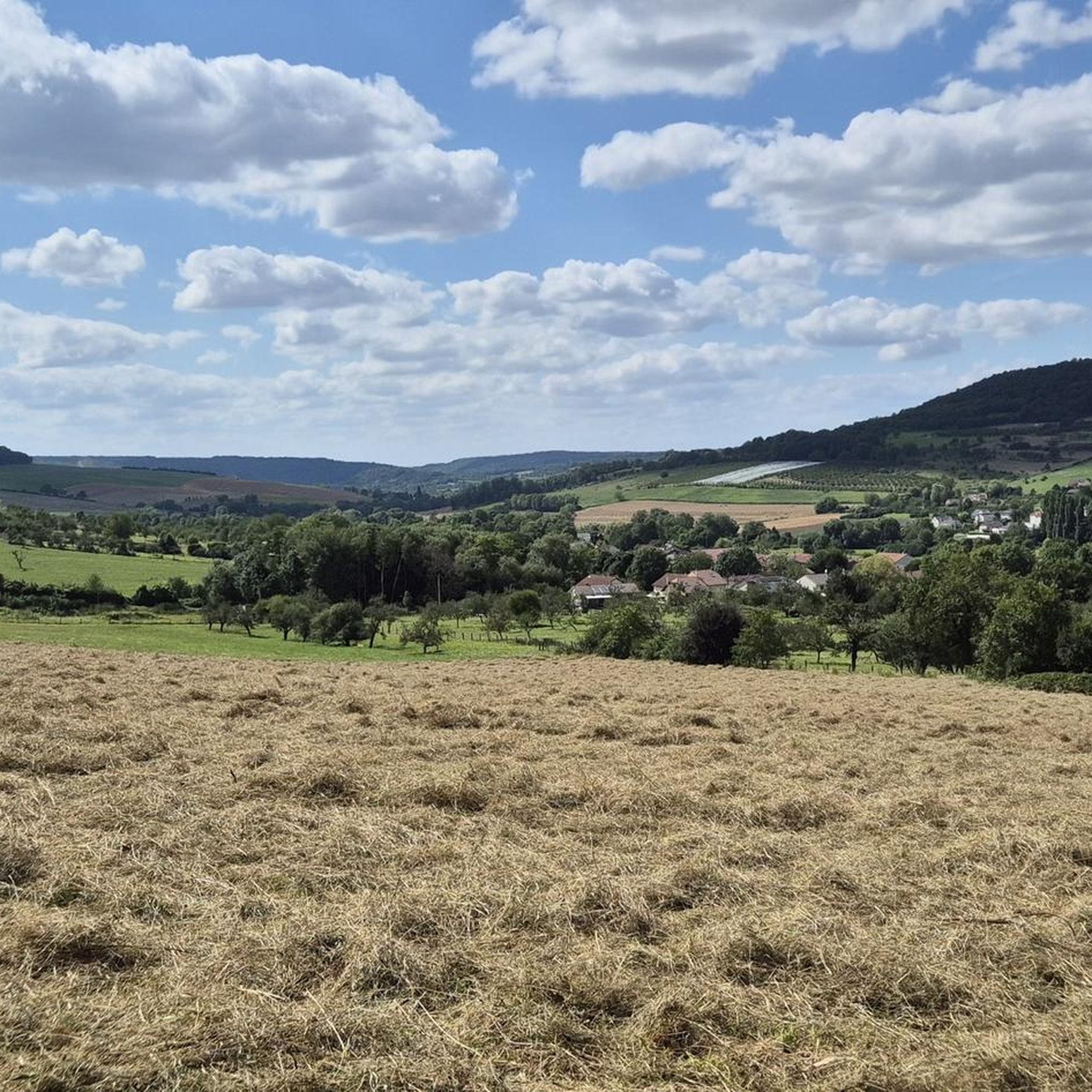
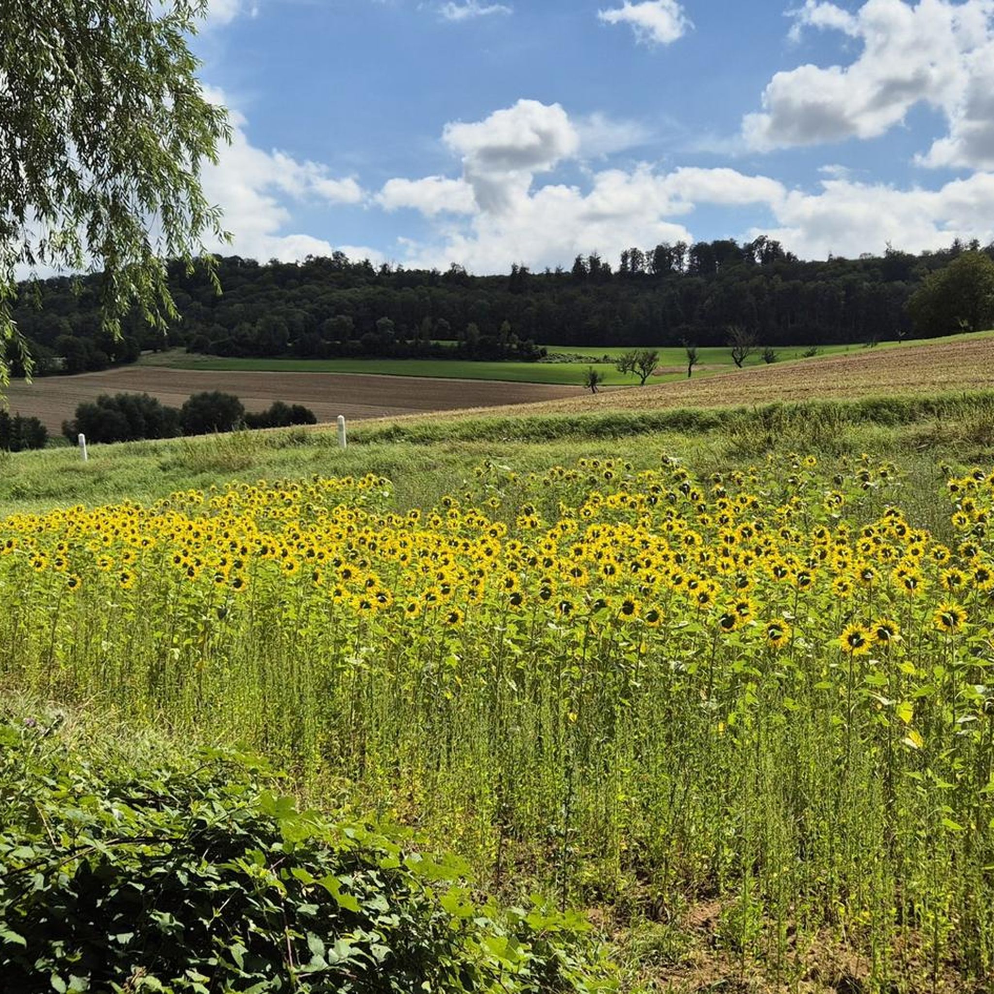
Hiking around Leyr offers a diverse landscape characterized by rolling hills, dense woodlands, and open countryside. The region features a network of trails that traverse varied terrain, including gentle slopes and more challenging ascents. Hikers can explore paths leading through forests and past historical chapels, providing a mix of natural beauty and cultural interest. This area provides a range of options for outdoor enthusiasts seeking both leisurely walks and more strenuous treks.
Best hiking trails around Leyr
- The most popular…
Last updated: October 9, 2026
4.0
(4)
12
hikers
6.11km
01:49
190m
190m
Easy hike. Great for any fitness level. Easily-accessible paths. Suitable for all skill levels.
4.8
(5)
13
hikers
Hard hike. Very good fitness required. Easily-accessible paths. Suitable for all skill levels.

4.0
(2)
13
hikers
12.0km
03:26
270m
270m
Moderate hike. Good fitness required. Easily-accessible paths. Suitable for all skill levels.
8
hikers
12.3km
03:30
280m
270m
Moderate hike. Good fitness required. Easily-accessible paths. Suitable for all skill levels.
4.0
(3)
15
hikers
9.73km
02:47
230m
230m
Moderate hike. Good fitness required. Easily-accessible paths. Suitable for all skill levels.
Get access to more routes and recommendations from other explorers.
Already have an account?
Our route recommendations are based on thousands of hikes, rides, and runs completed by other people on komoot.
Start today with a free account
Your next adventure awaits.

Tips from the Community

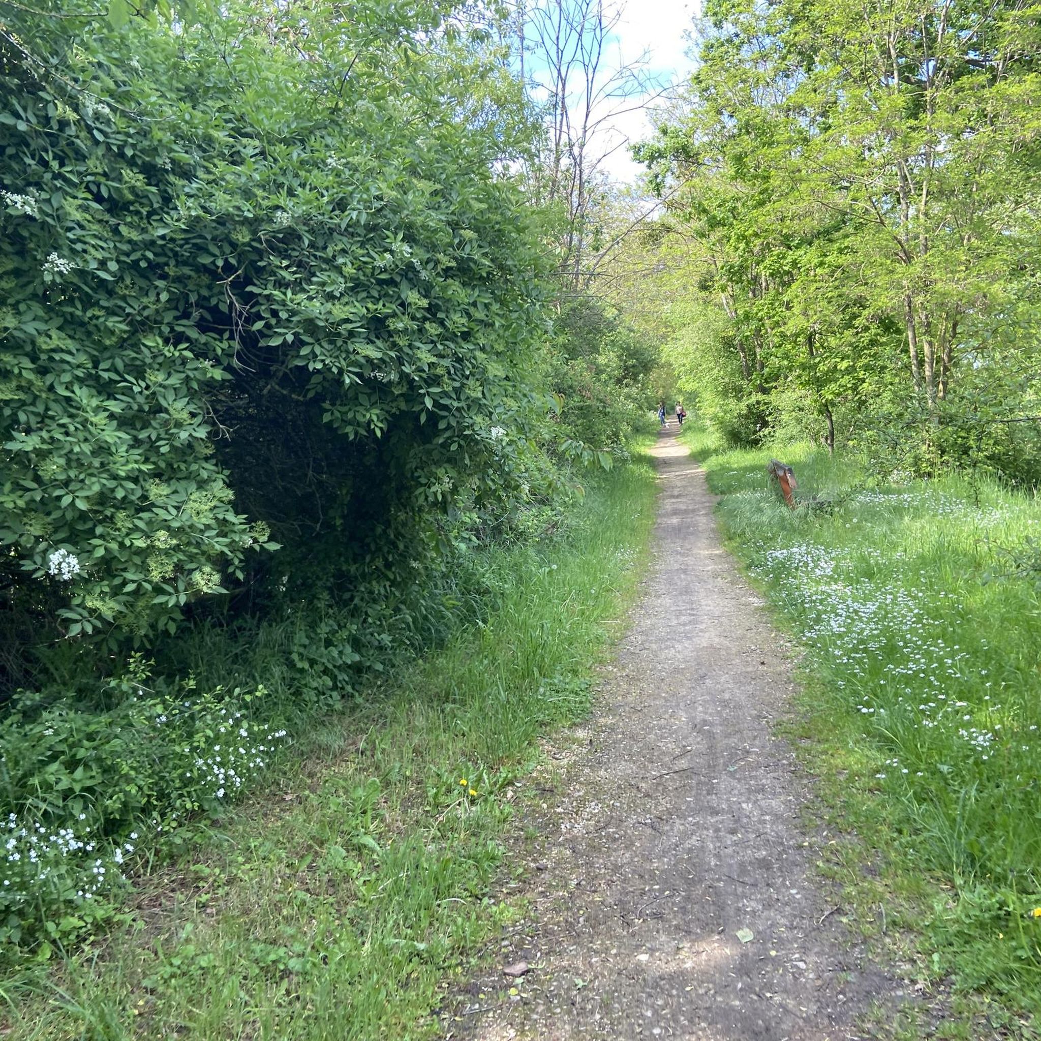
This old road, which already appears on the Cassini map (1760), is part of a network of rolling paths which allow you to cross the Bois de Faux plateau and reach all the villages.
0
0

Very beautiful village with a huge tree in front of the church and a great view over the countryside.
1
0

Amance is a small village built around a hill on which a castle was once built. From now on, the bare hill offers a generous view of the neighboring valleys. On either side of the village, the small and large Mont d'Amance (385 and 407 meters above sea level) enjoy equally pleasant views.
3
0

Amance is a beautiful village built on top of a hill. It offers a pretty unique point of view on the surrounding plains. This village was a medievial fortress and some houses showcase pieces of history with their doors topped with gothic stones from the XIIIth century. The gigantic Lebanese cedar in front of the church also deserves to be seen. There are 3 climbs to get to Amance : one from Bouxières-aux-Chênes, one from Laître-sous-Amance, one from the SPA (the easiest one). The highest point is at « the antenna », at 405 m.
3
0

A place of calm and strength.
1
0
Just let it work. A place of rest.
0
0
The Kruft made us very happy. Everything is still in very original condition.
0
0
The Kruft made us very happy. Everything is not very original.
0
0
Frequently Asked Questions
How many hiking trails are available around Leyr?
Leyr offers a wide selection of hiking opportunities, with around 160 trails documented on komoot. These routes cater to various preferences, including easy strolls, moderate treks, and a few challenging paths for experienced hikers.
Are there any easy, family-friendly hikes in Leyr?
Yes, Leyr has approximately 50 easy routes perfect for families or those seeking a relaxed walk. A great option is the Amance – Chapelle d'Amance loop from Bouxières-aux-Chênes, an easy 3.8-mile (6.1 km) trail that takes less than two hours to complete.
What kind of terrain can I expect on hikes in Leyr?
The landscape around Leyr is characterized by rolling hills, dense woodlands, and open countryside. Trails traverse varied terrain, from gentle slopes to more challenging ascents, often leading through forests and past historical chapels, offering a mix of natural beauty and cultural interest.
Are there any challenging hikes for experienced trekkers?
For those seeking a more strenuous adventure, Leyr offers a few difficult routes. One notable challenging option is the Unobstructed view through the forest – Blanzey Church loop from Villers-lès-Moivrons, a 12.1-mile (19.4 km) path that provides extensive views through forested areas.
Are there any circular walks around Leyr?
Many of the trails in Leyr are designed as circular routes, allowing you to start and end at the same point. For example, the Col de Vassuchamp loop from Montenoy is a moderate 7.5-mile (12.0 km) circular trail through varied terrain.
What interesting landmarks or attractions can I see along the trails in Leyr?
While hiking around Leyr, you can encounter several points of interest. These include the historic Sainte-Agathe Chapel, the scenic Confluence of the Moselle and Meurthe rivers, and the Moulin Noir Footbridge. Many routes also pass through charming villages and past other local historical sites.
What do other hikers say about the trails in Leyr?
The routes in Leyr are highly rated by the komoot community, with an average score of 4.5 stars from over 200 reviews. Hikers often praise the diverse terrain, the peaceful forest paths, and the well-maintained trails that offer a mix of natural beauty and cultural sights like chapels.
How long do hikes around Leyr typically take?
Hike durations vary significantly based on difficulty and length. Easy routes, like the 3.8-mile Amance – Chapelle d'Amance loop, can be completed in under two hours. Moderate trails, such as the 6.6-mile Blanzey Church – Sainte-Agathe Chapel loop, typically take around three hours, while difficult routes can extend to five hours or more.
Are there any trails that offer good viewpoints?
Yes, the region's rolling hills provide opportunities for scenic vistas. The Unobstructed view through the forest – Blanzey Church loop is specifically noted for offering extensive views through its forested sections, allowing hikers to appreciate the landscape.
What is the best time of year to hike in Leyr?
Leyr's diverse landscape is enjoyable throughout the year. Spring and autumn offer pleasant temperatures and vibrant colors, while summer provides longer daylight hours. Even in winter, the trails can be beautiful, especially after a fresh snowfall, though some paths might be more challenging.
Are there options for longer, moderate hikes?
Absolutely. Leyr features over 100 moderate trails. A good example is the Col de Vassuchamp loop from Villers-lès-Moivrons, a 7.7-mile (12.4 km) route that offers a substantial walk without being overly strenuous, typically taking around three and a half hours.
Most popular attractions around Leyr

Get inspired with the komoot mobile app


Explore more
Browse the best Hikes in other regions.
