The best walks and hikes around Mont-Bonvillers
4.5
(112)
395
hikers
27
hikes
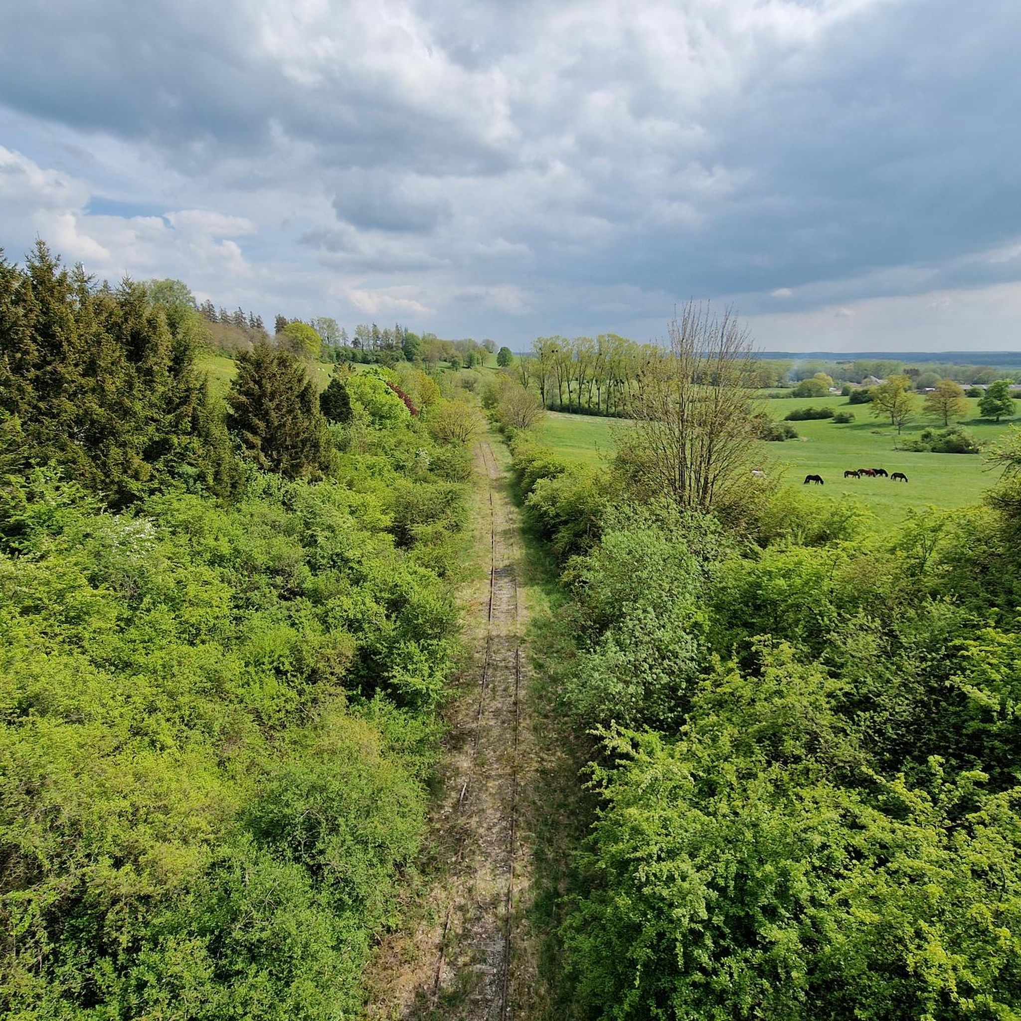
Hiking around Mont-Bonvillers provides access to varied natural features, including peaceful lakes, extensive forests, and open meadows. The region is characterized by its serene environment, with the Woigot stream originating within the commune. Trails often incorporate both natural beauty and local heritage, making the area suitable for different hiking preferences.
Best hiking trails around Mont-Bonvillers
- The most popular hiking route is Plan d'Eau de la Sangsue – Small cabin loop from Mancieulles, a 7.2 miles (11.6 km) trail that…
Last updated: July 2, 2026
3
hikers
4.13km
01:05
30m
30m
Easy hike. Great for any fitness level. Easily-accessible paths. Suitable for all skill levels.
4
hikers
12.8km
03:23
110m
110m
Moderate hike. Good fitness required. Easily-accessible paths. Suitable for all skill levels.

Sign up for free
2
hikers
13.2km
03:35
180m
180m
Moderate hike. Good fitness required. Easily-accessible paths. Suitable for all skill levels.
6
hikers
6.64km
01:46
80m
80m
Easy hike. Great for any fitness level. Easily-accessible paths. Suitable for all skill levels.
3
hikers
17.2km
04:33
170m
170m
Moderate hike. Good fitness required. Easily-accessible paths. Suitable for all skill levels.
Get access to more routes and recommendations from other explorers.
Sign up for free
Already have an account?
Our route recommendations are based on thousands of hikes, rides, and runs completed by other people on komoot.
Start today with a free account
Your next adventure awaits.
Login or Signup
Tips from the Community

⛪ **Église Saint-Martin de Mance – A Charming Village Church** The church of Mance, a small village northwest of Thionville, dates back to the 18th century and has been renovated several times. It is dedicated to Saint Martin, like many Lorraine village churches, and displays typical features of rural religious architecture: simple lines, a rectangular tower, and a lovingly maintained setting. 🕊️ Inside, you'll find colorful windows, simple furnishings, and a serene atmosphere – a place of tranquility in the heart of the village. **Tip:** If you're hiking or cycling through Mance, be sure to take a quick look inside – it's especially beautiful in the early evening hours with a view of the tower bathed in warm light.
0
0
Frequently Asked Questions
What types of landscapes can I expect to see while hiking around Mont-Bonvillers?
Hiking around Mont-Bonvillers offers a diverse range of serene natural features. You'll find peaceful lakes, extensive forests, and open meadows. The region is also characterized by the Woigot stream, which originates within the commune, contributing to its rich ecological environment.
Are there any easy hiking trails suitable for beginners or families in Mont-Bonvillers?
Yes, Mont-Bonvillers has several easy trails. For instance, the Étang de Tresbois loop from Piennes is an easy 4.3 km path that can be completed in just over an hour, perfect for a relaxed stroll. In total, there are 14 easy routes available, catering to all skill levels.
What are some notable natural attractions or landmarks to look out for on the trails?
One significant natural attraction is the Plan d'Eau de la Sangsue, a picturesque lake with wild shorelines and calm waters, ideal for nature lovers. You might also encounter the Church of Mance, an 18th-century village church, which is integrated into several hiking loops, blending nature with local heritage.
Are there any circular hiking routes available in Mont-Bonvillers?
Yes, many of the trails around Mont-Bonvillers are circular, offering convenient starting and ending points. A popular moderate option is the Plan d'Eau de la Sangsue – Small cabin loop from Mancieulles, which is 11.6 km long. Another is the Church of Mance loop from Mancieulles, an 8.2 km moderate path.
What do other hikers say about the trails in Mont-Bonvillers?
The hiking routes in Mont-Bonvillers are highly rated by the komoot community, with an average score of 4.6 stars from nearly 40 reviews. Hikers often praise the peaceful environment, the varied scenery of forests and lakes, and the accessibility of the trails for different fitness levels.
Can I bring my dog on the hiking trails in Mont-Bonvillers?
Generally, dogs are welcome on hiking trails in natural areas around Mont-Bonvillers. However, it's always recommended to keep them on a leash, especially when passing through agricultural areas or near wildlife habitats, to ensure their safety and respect for the local environment.
Are there any trails that offer a mix of natural beauty and cultural sights?
Absolutely. The region around Mont-Bonvillers allows for a blend of nature and local heritage. For example, the Church of Mance loop from Mancieulles passes by the charming 18th-century Church of Mance, offering both scenic views and a touch of local history.
How many hiking trails are there in total around Mont-Bonvillers?
There are over 30 hiking trails available around Mont-Bonvillers, offering a wide range of options for different preferences and fitness levels. These include 14 easy routes, 17 moderate routes, and 1 difficult route.
What is the typical duration for a moderate hike in this area?
Moderate hikes in Mont-Bonvillers typically range from 2 to 3.5 hours. For example, the Plan d'Eau de la Sangsue – Small cabin loop from Mancieulles takes about 3 hours and 2 minutes, while the Church of Mance – Small cabin loop from Mancieulles is around 3 hours and 22 minutes.
Are there any historical or industrial points of interest near the hiking routes?
Yes, beyond natural beauty, you can find some historical points of interest. These include the Crusnes-Morfontaine Strategic Route, the Entrance to the old mining tunnel, and the Eiffel Viaduct of Serrouville, which offer glimpses into the region's past.
What is the best time of year to go hiking in Mont-Bonvillers?
The region is particularly beautiful in spring when the flora is vibrant, or during periods of light fog which can create a mystical atmosphere around areas like the Plan d'Eau de la Sangsue. Generally, spring through autumn offers pleasant conditions for hiking, with varied scenery throughout the seasons.
Most popular routes around Mont-Bonvillers
Most popular attractions around Mont-Bonvillers

Get inspired with the komoot mobile app


Explore more
Browse the best Hikes in other regions.
