The best walks and hikes around Eslettes
4.5
(430)
2,701
hikers
222
hikes
Hiking around Eslettes offers a network of trails through varied terrain, characterized by gentle elevation changes and natural water features. The region's routes often traverse woodlands and open countryside, providing accessible outdoor experiences. Hikers can expect paths that connect local landmarks and natural elements, suitable for different skill levels.
Best hiking trails around Eslettes
- The most popular hiking route is As the water flows – Clairette Ford Crossing loop from Montville, an easy 4.3 miles (6.9 km) trail that takes 1 hour 54 minutes to complete, featuring a ford crossing.
- Another top favourite among local hikers is As the water flows – Statue of Joan of Arc loop from Eslettes, a moderate 9.2 miles (14.8 km) path, winding through the landscape and past historical points of interest.
- Local hikers also love the As the water flows – Lovely forest path loop from Montville, an 8.6 miles (13.9 km) trail leading through dense woodlands, often completed in about 3 hours 51 minutes.
- Hiking around Eslettes is defined by flowing water features, forest paths, and open countryside, with options for both easy and moderate routes. The network offers choices for various ability levels, including beginner hiking trails Eslettes.
- The routes in Eslettes are highly rated by the komoot community with an average score of 4.6 stars from over 300 reviews. More than 2,000 hikers have used komoot to explore Eslettes's varied terrain.
Last updated: July 2, 2026
4.6
(15)
54
hikers
6.86km
01:55
120m
120m
Easy hike. Great for any fitness level. Easily-accessible paths. Suitable for all skill levels.
3.9
(12)
42
hikers
15.8km
04:20
240m
240m
Moderate hike. Good fitness required. Easily-accessible paths. Suitable for all skill levels.

Sign up for free
4.6
(5)
18
hikers
14.1km
03:56
250m
250m
Moderate hike. Good fitness required. Easily-accessible paths. Suitable for all skill levels.
4.0
(1)
9
hikers
5.79km
01:37
110m
120m
Easy hike. Great for any fitness level. Easily-accessible paths. Suitable for all skill levels.
2.0
(1)
9
hikers
3.81km
01:07
100m
100m
Easy hike. Great for any fitness level. Easily-accessible paths. Suitable for all skill levels.
Get access to more routes and recommendations from other explorers.
Sign up for free
Already have an account?
Our route recommendations are based on thousands of hikes, rides, and runs completed by other people on komoot.
Start today with a free account
Your next adventure awaits.
Login or Signup



Tips from the Community

On the descent leading to Grand Tendos, a lovely view of the Cailly valley awaits you.
0
0
Ferme Raimbourg has obtained the “Rural Heritage” label for its double bread oven. This farm has retained its typical 19th century rural architecture and its visit is a sort of return to paradise in a true Normandy region which is located at the transition from the beech groves of the Pays de Caux and the forests of the Pays de Bray, in the middle of Cailly valley.
0
0
The Church has a Latin cross plan with one nave, a nave intersected by a transept, semi-circular bays punctuate the elevations. The bell tower and its polygonal slate spire dominate the double-sloped roofs. The facade is decorated with geometric patterns.
0
0

Mont-Cauvaire is a very bucolic town. There is notably the Raimbourg farm, which has obtained the “Rural Heritage” label for its double bread oven.
0
0
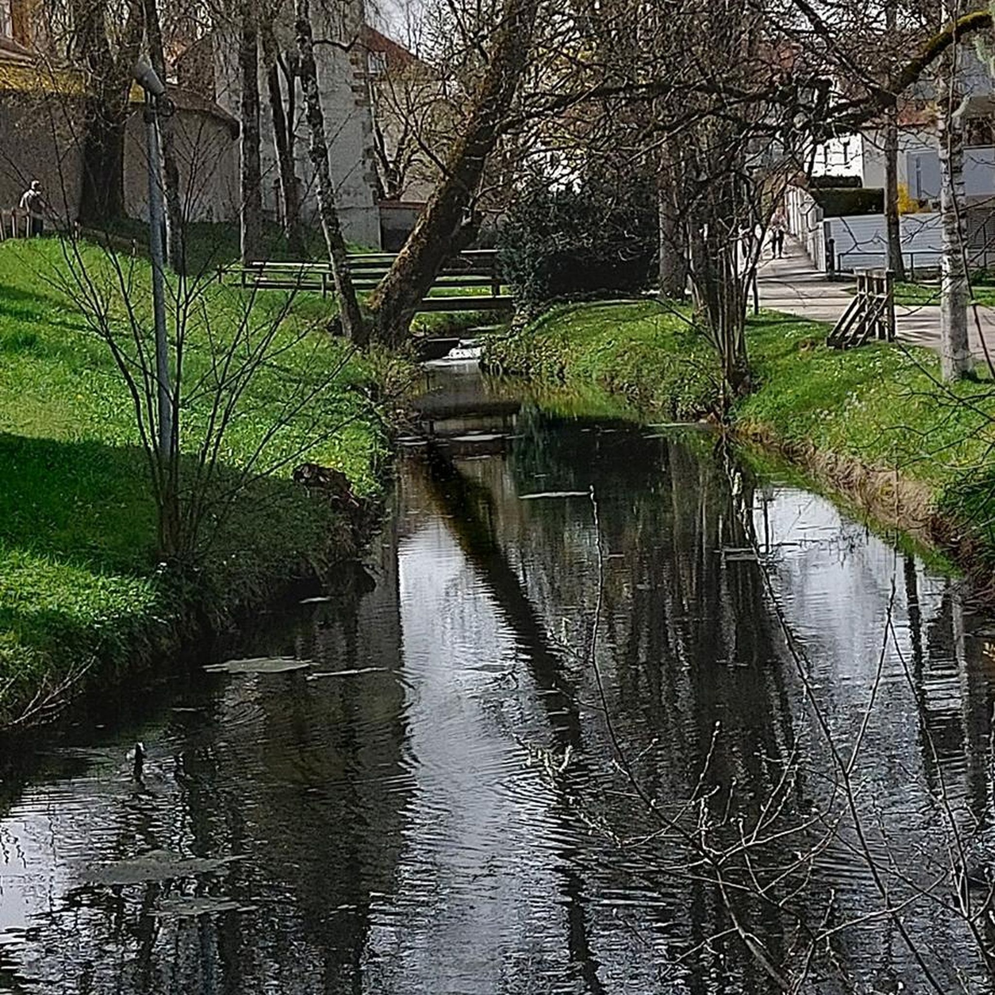
Between Mont-Cauvaire and Montville, this forest path immerses hikers in a pretty green setting. A few meters away, the course of the Clairette runs along the path. You may hear the clicking of the water accompanying your steps.
1
0

Very nice hike between villages and forest Be careful at the end of the route the footbridge is closed by a stop you will have to turn back
0
0

A quiet place where you can pass over (or in) the water, as you wish! 😁
0
0

Frequently Asked Questions
How many hiking trails are available around Eslettes?
There are over 200 hiking routes in the Eslettes region, offering a variety of experiences. This includes 94 easy routes, 118 moderate routes, and 7 more challenging trails, catering to different skill levels.
Are there easy hiking trails suitable for beginners or families in Eslettes?
Yes, Eslettes offers many easy routes perfect for beginners and families. An excellent option is the As the water flows – Clairette Ford Crossing loop from Montville, an easy 4.3-mile (6.9 km) trail that takes less than two hours to complete and features a ford crossing.
What kind of terrain can I expect on hikes around Eslettes?
The hiking trails around Eslettes are characterized by varied terrain, including flowing water features, dense forest paths, and open countryside. You'll find gentle elevation changes, making many routes accessible and enjoyable.
Are there circular hiking routes in Eslettes?
Yes, many of the trails in Eslettes are circular, allowing you to start and end at the same point. For example, the As the water flows – Statue of Joan of Arc loop from Eslettes is a moderate 9.2-mile (14.8 km) loop that winds through the landscape and past historical points of interest.
What are some notable attractions or landmarks I can see while hiking in Eslettes?
While hiking, you can explore several interesting places. Consider visiting the Clères Zoological Park or the charming Clères Village. For those interested in local events, the Clères Daffodil Festival is a seasonal highlight.
Is parking available near the trailheads in Eslettes?
In rural areas like Eslettes, many trailheads typically offer designated parking areas or roadside parking options. It's often helpful to check the specific route details on komoot for precise parking information before your hike.
Can I reach hiking trails in Eslettes using public transport?
While Eslettes is a more rural location, some routes, especially those originating from larger nearby towns such as Montville, may be accessible via local bus services. It's advisable to consult local public transport schedules for the most up-to-date information.
What do other hikers say about the trails in Eslettes?
The hiking trails in Eslettes are highly regarded by the komoot community, with an average rating of 4.6 stars from over 300 reviews. Hikers often praise the region's varied terrain, including its tranquil forest paths and scenic water features.
Are there any longer, more challenging routes for experienced hikers?
Yes, for those seeking a longer experience, the As the water flows – Lovely forest path loop from Montville is a moderate 8.6-mile (13.9 km) trail through dense woodlands, typically completed in about 3 hours 51 minutes. There are also 7 difficult routes available for advanced hikers.
What is the best season for hiking in Eslettes?
The region's trails are enjoyable throughout much of the year. Spring and autumn offer pleasant temperatures and beautiful scenery, while summer provides longer daylight hours. Even in winter, the forest paths can be quite scenic, though conditions may require appropriate gear.
Are dogs allowed on the hiking trails around Eslettes?
Generally, dogs are welcome on most public hiking trails in rural areas like Eslettes, provided they are kept under control, often on a leash. However, it's always good practice to check for any specific local regulations or signage at trailheads, especially in nature reserves or protected areas.
Are there any cafes or places to eat near the hiking routes?
While specific cafes directly on every trailhead might be limited due to the rural nature of Eslettes, you can typically find dining options in nearby villages and towns like Montville or Clères. Planning your route to pass through or end near these settlements will provide opportunities for refreshments.
Most popular attractions around Eslettes

Get inspired with the komoot mobile app


Explore more
Browse the best Hikes in other regions.
