The best walks and hikes around Oberassel
4.4
(1726)
10,666
hikers
252
hikes
Hiking trails around Oberassel offer a variety of experiences, primarily featuring routes with significant elevation changes. The terrain includes forested areas and paths leading to viewpoints. The region provides options for both moderate and more challenging hikes, catering to different fitness levels.
Best hiking trails around Oberassel
- The most popular hiking route is Étang des Belles Filles – Split Rock loop from Planche des Belles Filles, a 6.3 miles (10.1 km) trail that takes 3 hours 37 minutes to…
Last updated: June 27, 2026
4.5
(21)
115
hikers
Moderate hike. Good fitness required. Mostly accessible paths. Sure-footedness required.
4.6
(12)
87
hikers
9.94km
03:31
570m
570m
Moderate hike. Good fitness required. Mostly accessible paths. Sure-footedness required.

Sign up for free
2.7
(3)
32
hikers
Hard hike. Very good fitness required. Mostly accessible paths. Sure-footedness required.
4.6
(5)
25
hikers
Moderate hike. Good fitness required. Mostly accessible paths. Sure-footedness required.
4.7
(3)
15
hikers
3.75km
01:14
160m
160m
Easy hike. Great for any fitness level. Easily-accessible paths. Suitable for all skill levels.
Get access to more routes and recommendations from other explorers.
Sign up for free
Already have an account?
Our route recommendations are based on thousands of hikes, rides, and runs completed by other people on komoot.
Start today with a free account
Your next adventure awaits.
Login or Signup
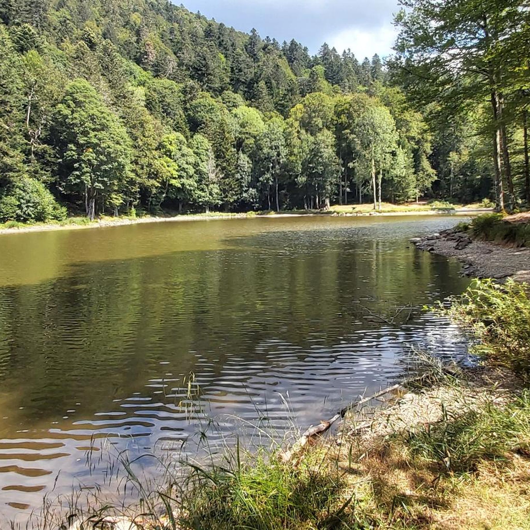
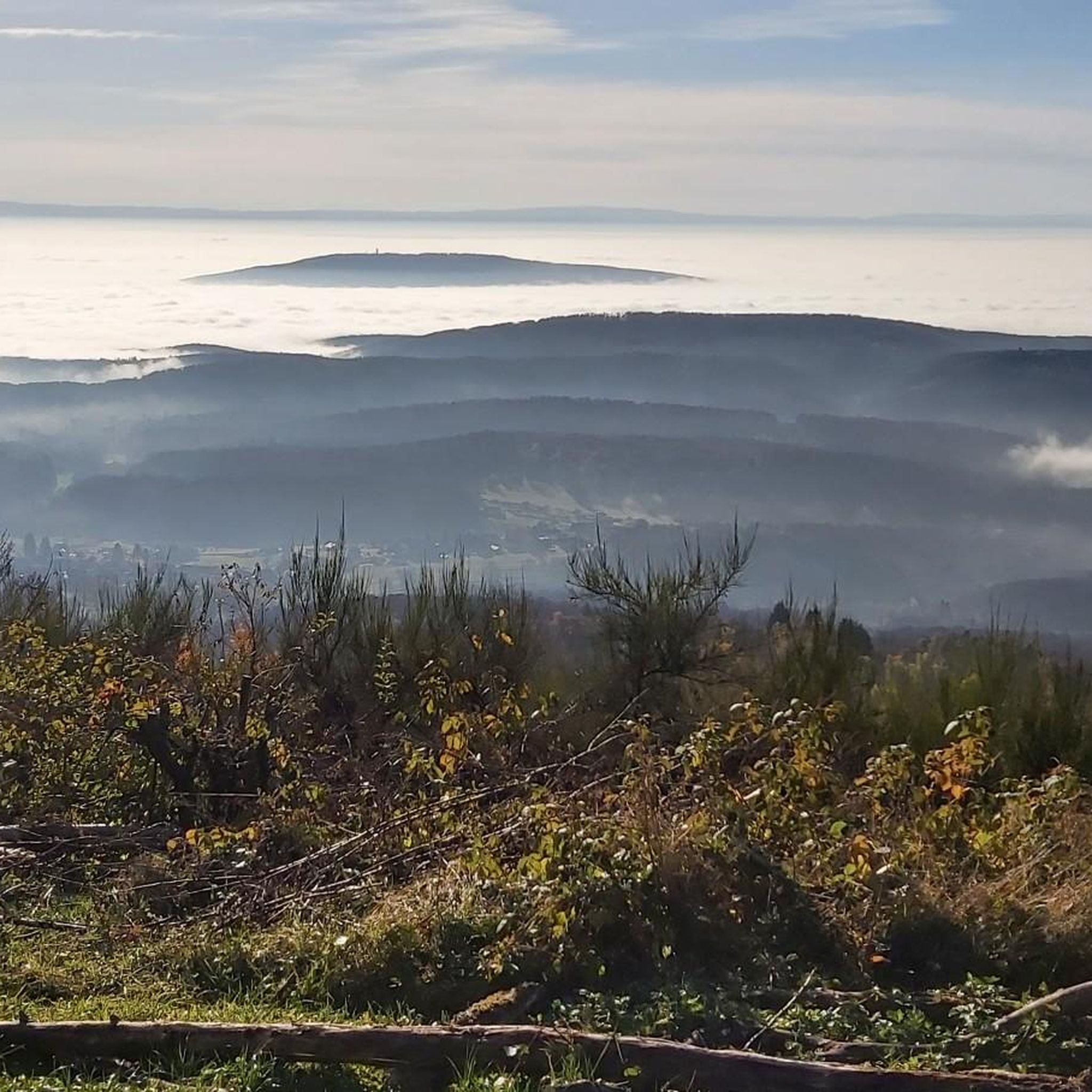
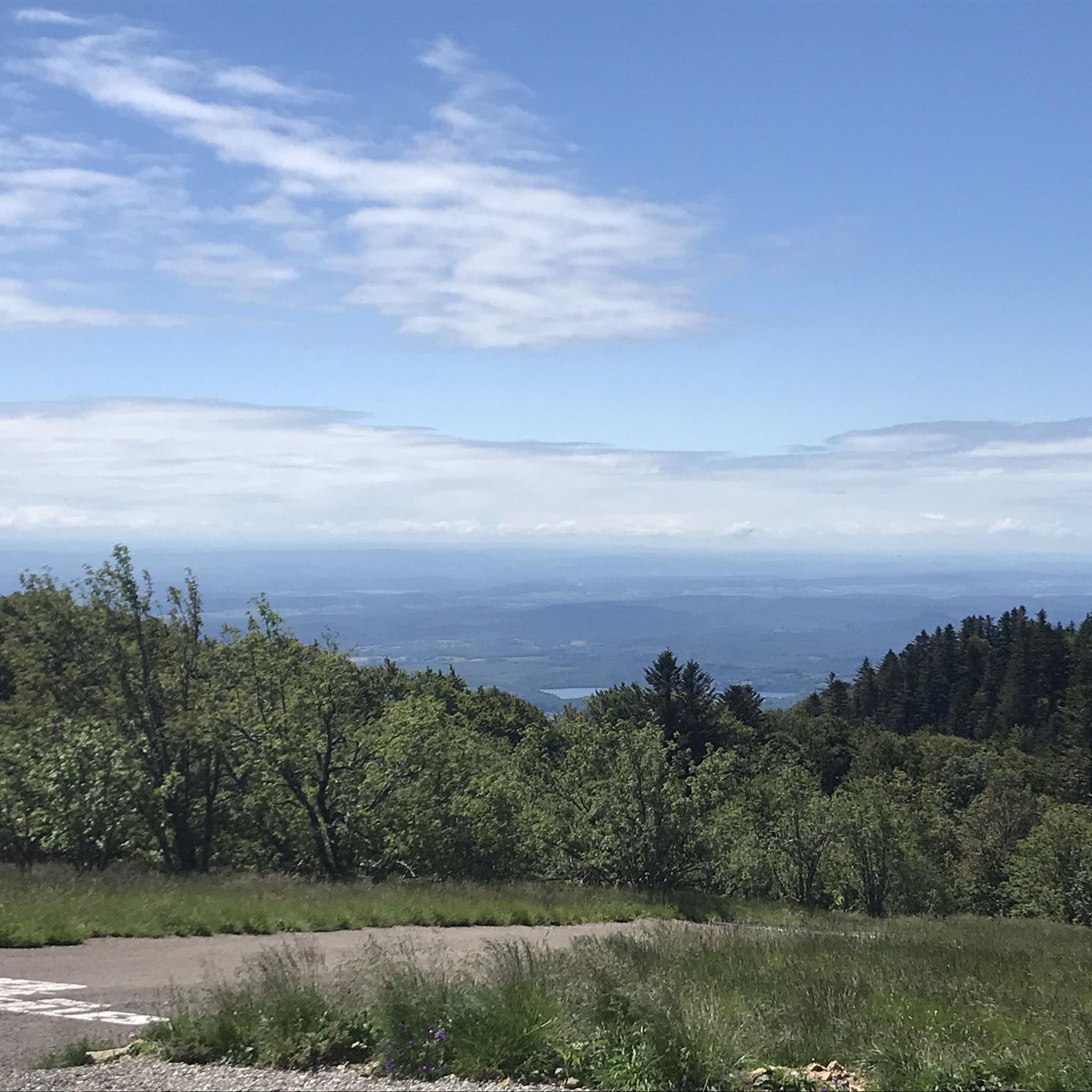
Tips from the Community

Hiking from the balloon over the mountain ridge through the High Vosges promises wonderful solitude and panoramic views.
0
0

Very interesting to see what is true
0
0
Very beautiful nature in the area.
0
0

Magnificent panorama of the Vosges mountain range from the viewpoint on the Ballon d'Alsace.
1
0

It is a beautiful walk with an incline to the summit, which is worth it just for the view all the way to the Alps - if the weather plays along!
3
1
An unusual monument! Worth seeing!
2
0

At the top of the summit!
1
0

4 departments meet here
0
0
Frequently Asked Questions
What kind of terrain can I expect on hiking trails around Oberassel?
The hiking trails around Oberassel are characterized by forested paths and significant elevation changes. You'll find routes leading through mountainous landscapes, offering a mix of moderate and challenging sections. The area is known for its diverse terrain, including paths to panoramic viewpoints.
Are there easy hiking trails suitable for beginners or short excursions?
Yes, Oberassel offers a variety of easy walks. For example, The great board and the PDBF loop from Les Roches is an easy 3.7 km route with moderate elevation gain, perfect for a shorter outing or those new to hiking. Overall, there are over 60 easy routes available.
Can I find challenging mountain hikes in the Oberassel area?
Absolutely. The region is well-suited for experienced hikers seeking a challenge. Many routes feature significant elevation gains, with some mountain hikes requiring good fitness and sure-footedness. An example is the View of the Ballon d'Alsace – Ballon d'Alsace loop from Les Roches, a difficult 20 km trail through mountainous terrain.
Are there any circular hiking routes available?
Yes, many of the trails around Oberassel are designed as circular routes, allowing you to start and end at the same point. Examples include the popular Étang des Belles Filles – Split Rock loop from Planche des Belles Filles and Split Rock – The great board and the PDBF loop from Auxelles-Haut.
What natural features or viewpoints can I discover while hiking?
The trails often lead to stunning panoramic viewpoints, offering expansive views of the surrounding mountainous and forested landscapes. You'll encounter diverse natural settings, including dense forests and areas with significant elevation changes that provide dramatic vistas. The region is known for its scenic beauty.
Are the hiking trails around Oberassel suitable for families with children?
While many trails involve significant elevation, there are numerous easy routes that are suitable for families. These paths are generally shorter and less strenuous, providing a pleasant outdoor experience for all ages. Look for trails categorized as 'easy' for family-friendly options.
Can I bring my dog on the hiking trails?
Generally, dogs are welcome on hiking trails in this region, especially in forested and natural areas. However, it's always recommended to keep your dog on a leash, especially in nature reserves or areas with wildlife, and to check local regulations for specific trails or protected areas.
What are some interesting landmarks or attractions near the hiking routes?
Near the hiking routes, you can explore several mountain passes and natural monuments. Notable attractions include the Ballon d'Alsace and Ballon de Servance, both offering impressive views. You might also encounter various huts and shelters, such as the Schahling Chalet or Sailley Refuge, which can serve as rest stops.
What do other hikers enjoy most about the trails around Oberassel?
The trails around Oberassel are highly rated by the komoot community, with an average score of 4.5 stars from over 1,600 reviews. Hikers frequently praise the varied terrain, the challenging ascents, and the rewarding panoramic viewpoints. The forested paths and the sense of being immersed in nature are also highly appreciated.
Is there public transport access to the hiking trailheads?
While specific public transport options vary by trailhead, many areas in the wider region are accessible by local bus services. It's advisable to check local transport schedules for the specific starting point of your chosen hike, especially for routes deeper in the mountains.
Are there parking facilities available near the hiking trails?
Yes, parking facilities are typically available at common trailheads and popular starting points for hikes. These are often signposted. For more remote trails, parking might be limited, so planning ahead is recommended.
What is the best time of year to go hiking in Oberassel?
The best time for hiking generally depends on the specific trail and your preferences. Spring and autumn offer pleasant temperatures and beautiful scenery with blooming flowers or vibrant foliage. Summer is also popular, though some higher-altitude trails might be cooler. Winter hiking is possible but may require appropriate gear for snow and ice.
Are there any huts or shelters along the trails for breaks?
Yes, the region features several huts and shelters that can provide a welcome break during your hike. Examples include the Schahling Chalet, Sailley Refuge and Fountain on the Ballon de Servance, and Graber Breitenstein Shelter. These can be great spots for a rest or a picnic.
How many hiking trails are available in the Oberassel region?
There are over 250 hiking trails available around Oberassel, offering a wide range of options for all fitness levels. This extensive network includes easy walks, moderate excursions, and challenging mountain hikes, ensuring there's a route for every adventurer.
Most popular routes around Oberassel
Most popular attractions around Oberassel

Get inspired with the komoot mobile app


Explore more
Browse the best Hikes in other regions.
