The best walks and hikes around Schermenei
4.6
(1399)
8,655
hikers
19
hikes
Hiking around Schermenei offers trails through varied terrain, including forested areas and hills within a regional natural park. The landscape features historical fortifications and mountain passes, providing diverse hiking experiences. The region's topography includes moderate ascents and descents, characteristic of its natural park setting.
Best hiking trails around Schermenei
- The most popular hiking route is Fort de Giromagny — loop in the PARC NATUREL RÉGIONAL DES BALLONS DES VOSGES, a 3.2 miles (5.1 km) trail that takes 1 hour…
Last updated: June 23, 2026
4.5
(8)
51
hikers
5.10km
01:25
90m
90m
Moderate hike. Great for any fitness level. Mostly accessible paths. Sure-footedness required.
4.8
(6)
34
hikers
13.1km
03:47
320m
320m
Moderate hike. Good fitness required. Mostly accessible paths. Sure-footedness required.

Sign up for free
4.3
(11)
46
hikers
6.37km
01:57
210m
210m
Moderate hike. Great for any fitness level. Mostly accessible paths. Sure-footedness required.
5.0
(1)
12
hikers
9.54km
02:52
270m
270m
Moderate hike. Good fitness required. Easily-accessible paths. Suitable for all skill levels.
5.0
(2)
14
hikers
12.1km
04:02
590m
590m
Moderate hike. Good fitness required. Mostly accessible paths. Sure-footedness required.
Get access to more routes and recommendations from other explorers.
Sign up for free
Already have an account?
Our route recommendations are based on thousands of hikes, rides, and runs completed by other people on komoot.
Start today with a free account
Your next adventure awaits.
Login or Signup
Tips from the Community

The opening times are published online and it's worth investing the €4 for entry. The complex is huge, although not all rooms are accessible. We visited without a guide, but were provided with detailed information material - in German! A very interesting complex that is maintained by a club. Respect!!!
0
0

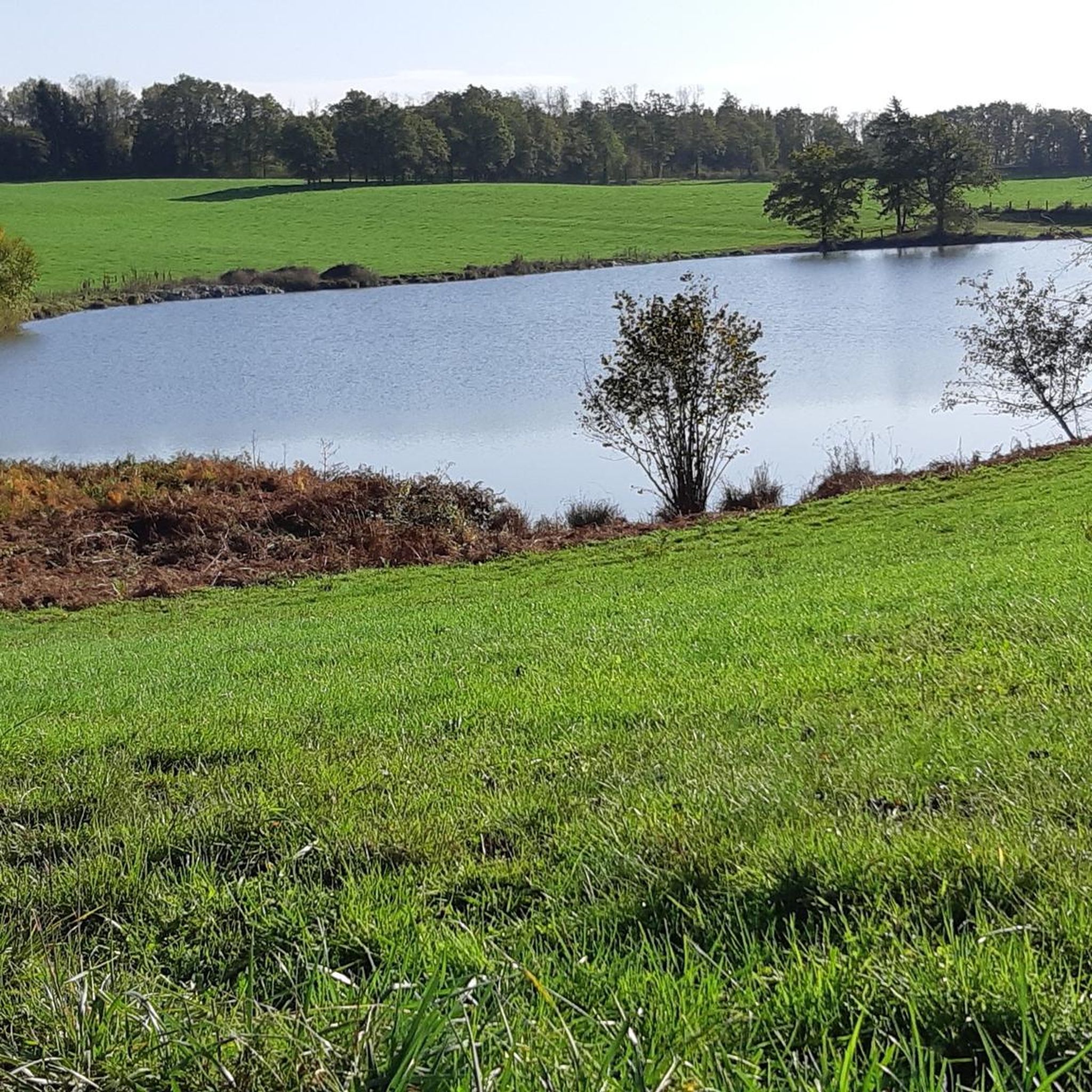
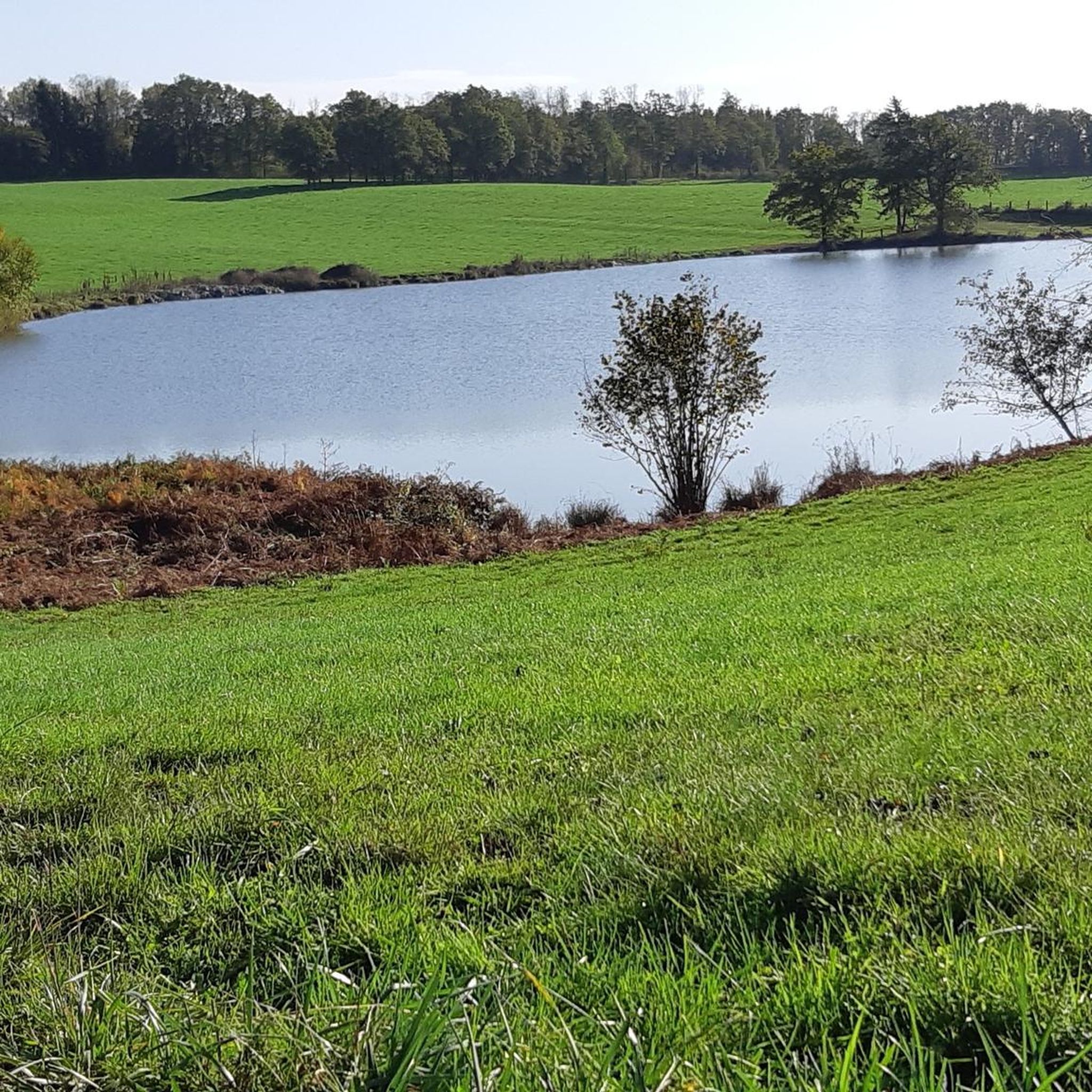
It's a small, quiet, fairly flat spot. The place is still basic, despite that the air is fresh, it's in the shade. Not far from 2 small villages and about ten minutes from a stopover gîte.
0
0


This fort was built between 1875 and 1879. The fort forms the southern end of the defensive curtain of the Haute Moselle region, adjoining the fortified region of Belfort, which extends to the south. The fort was built as part of the French Séré de Rivières system of fortifications to defend France against a recurrence of the Prussian invasion of the Franco-Prussian War of 1870–1871. The fort was one of the most heavily armed forts in the northeast during the late 19th and early 20th centuries. Entrance 3€/pers. (free for accompanied children under 12). OPENING EVERY SUNDAY and public holidays from July 3 to September 18 (inclusive): from 2 p.m. to 6 p.m. (entrances close at 5:15 p.m.) Possibility of guided tour from April to October (Reservation required).
0
0

The fort of Giromagny, built between 1875 and 1879, is part of a line of defense called Haute-Moselle set up at the time. It was used during the First and Second World Wars, but remained abandoned for a long time. It was bought by the municipality in 1988. Since then, it has been restored and is open to visitors.
2
0
The fort of Giromagny, built between 1875 and 1879, is part of a line of defense called Haute-Moselle set up at the same time. It was used during the First and Second World Wars, but remained abandoned for a long time. It was bought by the municipality in 1988. Since then, it has been restored and is open to visitors.
3
0

Frequently Asked Questions
What kind of hiking trails can I expect around Schermenei?
Hiking around Schermenei offers a diverse range of trails, primarily through forested areas and hills within a regional natural park. You'll encounter moderate ascents and descents, characteristic of the Vosges region, and routes often feature historical fortifications. Most of the 17 available routes are moderate in difficulty, with one easy option.
Are there many circular hiking routes in Schermenei?
Yes, many of the trails around Schermenei are circular, making them convenient for day trips. For example, the Fort de Giromagny — loop in the PARC NATUREL RÉGIONAL DES BALLONS DES VOSGES is a popular 3.2-mile (5.1 km) loop that explores both the natural park and a historical fort.
What are some notable landmarks or historical sites to see while hiking?
The region around Schermenei is rich in historical fortifications and natural features. You can explore sites like Fort de Giromagny, which is integrated into several hiking routes. Other nearby historical highlights include the Ruins of Rougemont Castle and Fort Salbert.
What do other hikers enjoy most about hiking in Schermenei?
The hiking trails around Schermenei are highly rated by the komoot community, with an average score of 4.6 stars from over 1200 reviews. Hikers often praise the varied terrain, the well-maintained paths through forested hills, and the combination of natural beauty with historical points of interest like the forts.
How long do hikes typically take in Schermenei?
Hikes in Schermenei vary in length and duration. For instance, the Fort de Giromagny loop is about 1 hour 25 minutes, while a longer route like the Fort de Giromagny loop from Giromagny can take around 3 hours 40 minutes. The Col du Mont Jean loop from Giromagny typically takes about 2 hours 52 minutes.
Are there any mountain passes or viewpoints accessible by hiking?
Yes, the region features several mountain passes and elevated points offering views. The Col du Mont Jean loop from Giromagny leads through mountain passes and natural scenery. You can also find highlights like Ballon d'Alsace and Ballon de Servance nearby, which are popular summits and natural monuments.
What is the terrain like on the trails?
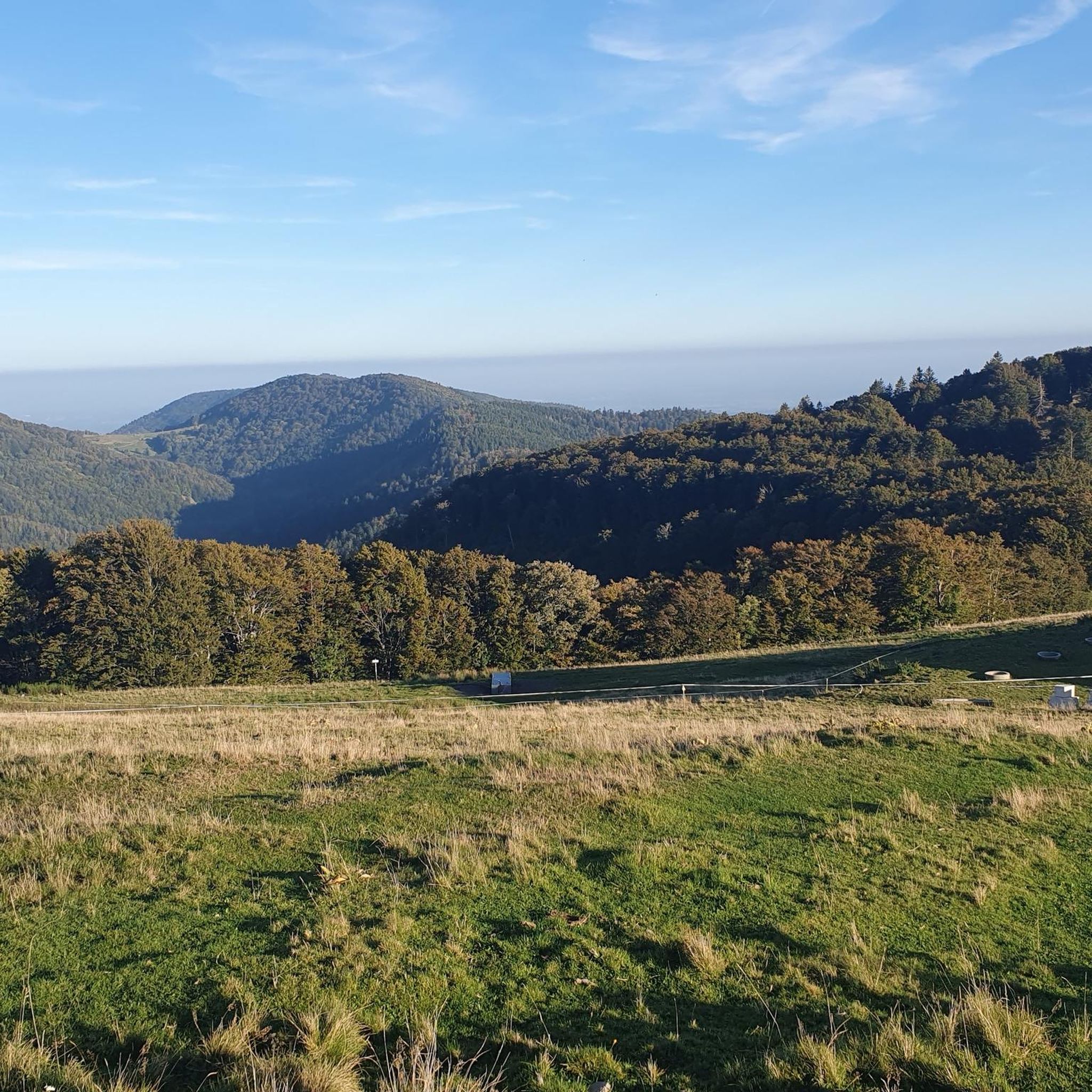
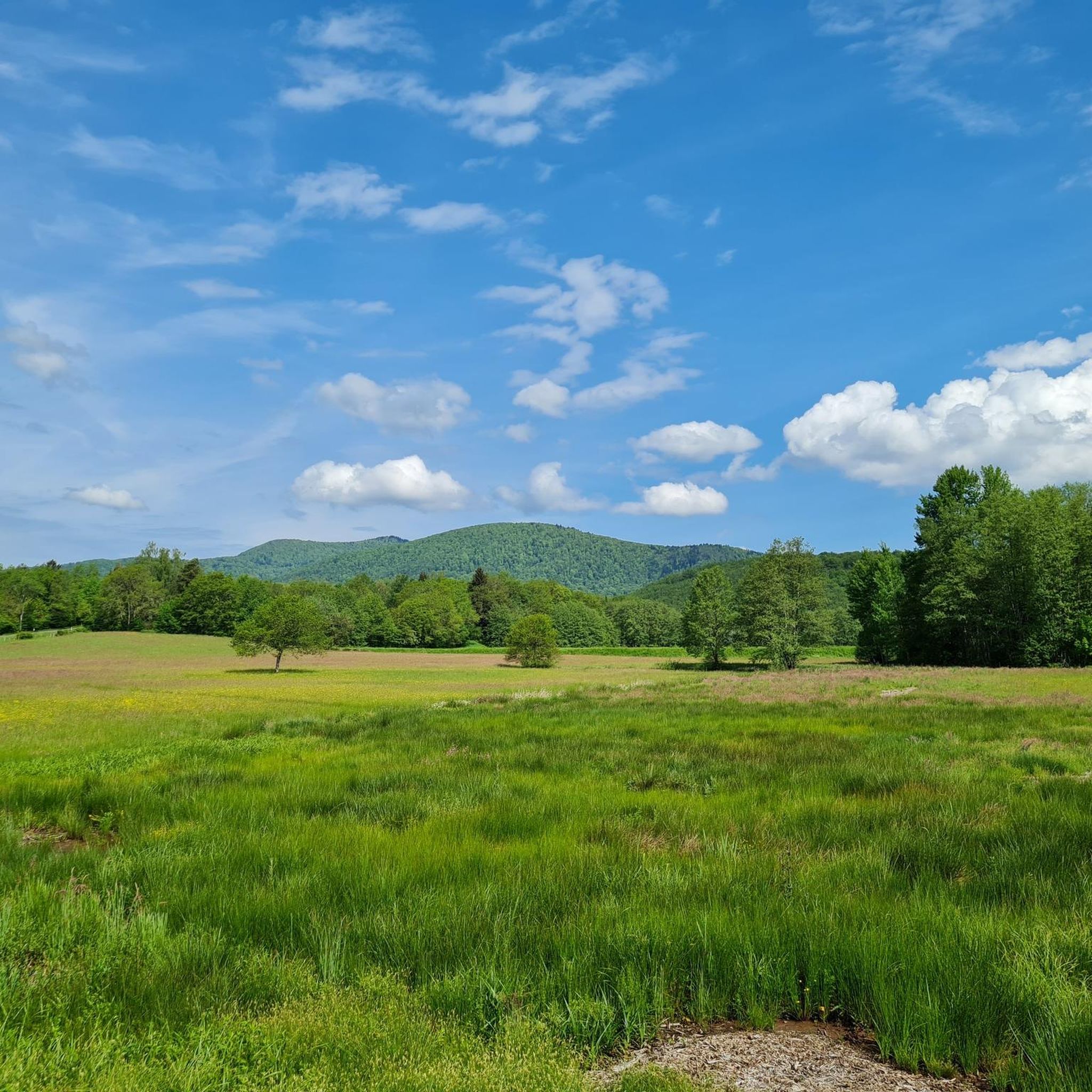
The terrain around Schermenei is characterized by forested hills and varied paths within the regional natural park. You can expect a mix of well-trodden earth paths, some rocky sections, and moderate inclines and declines. The routes are generally suitable for hikers with a reasonable level of fitness.
Are there any easy hiking options for beginners or those looking for a relaxed walk?
While most trails are moderate, there is at least one easy hiking option available. These routes are typically shorter and have less elevation gain, making them suitable for a more relaxed experience. Always check the route details on komoot for specific difficulty ratings.
What is the best time of year to go hiking in Schermenei?
Given the forested hills and natural park setting, spring and autumn are generally excellent times for hiking in Schermenei. The weather is usually milder, and the changing foliage in autumn or blooming nature in spring adds to the scenic beauty. Summer can also be pleasant, especially in the shade of the forests.
Can I find longer, more challenging hikes in the area?
While most routes are moderate, some offer a longer distance and more significant elevation gain. For example, the Montée du Querty – Split Rock loop from Giromagny covers over 7.5 miles (12.1 km) with substantial elevation changes, providing a more demanding experience.
Are there any routes that offer views of the surrounding landscape?
Many routes in Schermenei provide scenic views, especially those that ascend to higher points or traverse mountain passes. The Fort de Giromagny loop from Giromagny, for instance, offers expansive views of the surrounding landscape and the fort area, allowing you to appreciate the regional natural park.
Most popular routes around Schermenei
Most popular attractions around Schermenei

Get inspired with the komoot mobile app


Explore more
Browse the best Hikes in other regions.
