The best mountain hikes around Orelle
4.9
(11)
111
hikers
12
hikes
Mountaineering routes around Orelle traverse a wild and mineral landscape characterized by steep slopes, rugged ridges, and glacial valleys within the French Alps. This region offers access to significant peaks like Le Bouchet (3,416 meters) and Cime Caron (3,195 meters), providing a challenging alpine environment. The area's dramatic scenery is further enhanced by its proximity to the Vanoise National Park, featuring diverse alpine terrain.
Best mountaineering routes around Orelle
- The most popular mountaineering route is Mont Thabor loop from Vallée…
Last updated: October 4, 2026
5.0
(1)
15
hikers
18.7km
08:40
1,400m
1,400m
Hard mountaineering route. Very good fitness required. Sure-footedness, sturdy shoes and alpine experience required.
5.0
(2)
11
hikers
17.5km
07:34
950m
950m
Hard mountaineering route. Very good fitness required. Sure-footedness, sturdy shoes and alpine experience required.

5
hikers
15.6km
07:08
1,010m
1,010m
Hard mountaineering route. Very good fitness required. Mostly accessible paths. Sure-footedness required.
6
hikers
12.6km
05:36
750m
750m
Hard mountaineering route. Very good fitness required. Sure-footedness, sturdy shoes and alpine experience required.
1
hikers
9.65km
03:34
620m
620m
Moderate mountaineering route. Good fitness required. Easily-accessible paths. Suitable for all skill levels.
Get access to more routes and recommendations from other explorers.
Already have an account?
Our route recommendations are based on thousands of hikes, rides, and runs completed by other people on komoot.
Start today with a free account
Your next adventure awaits.
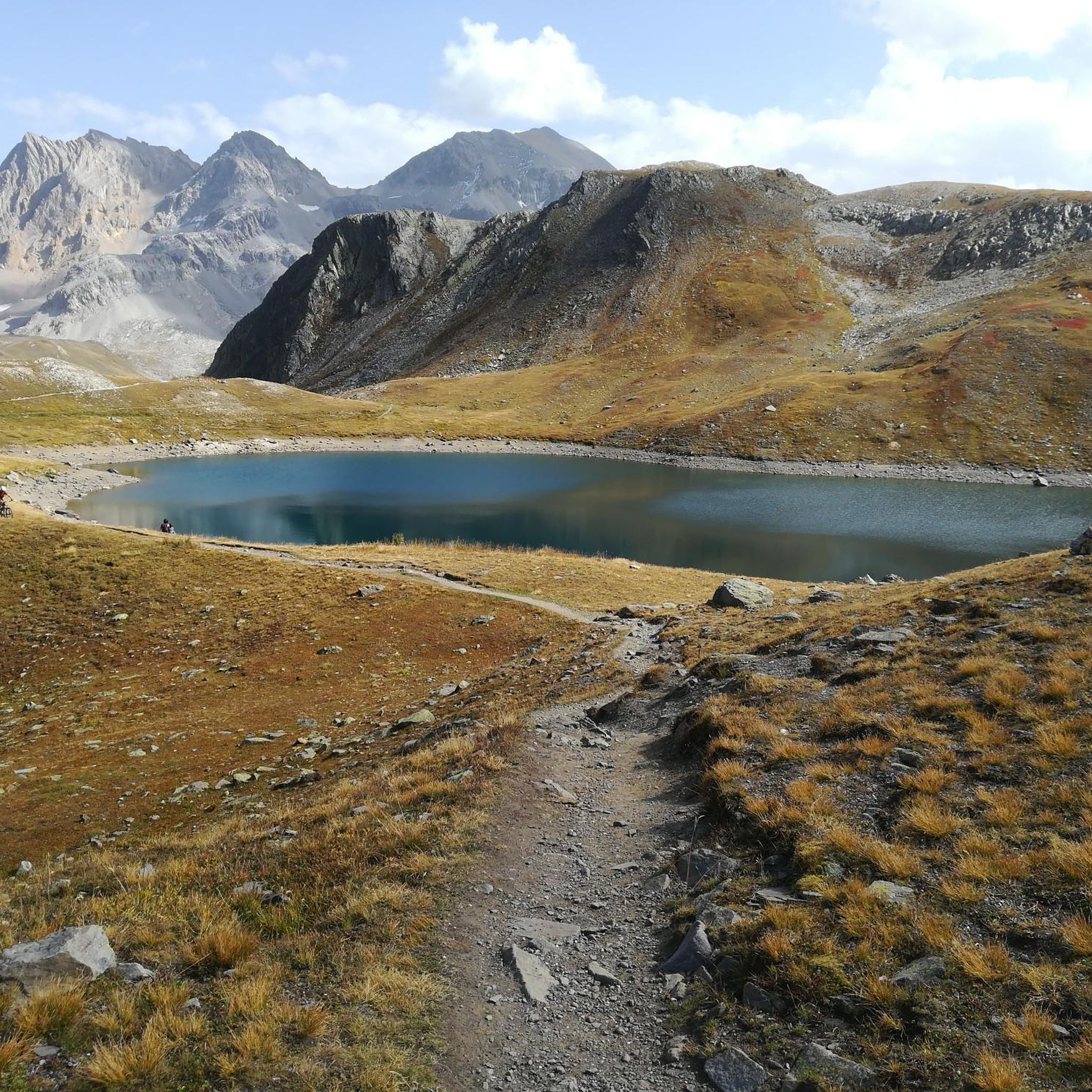
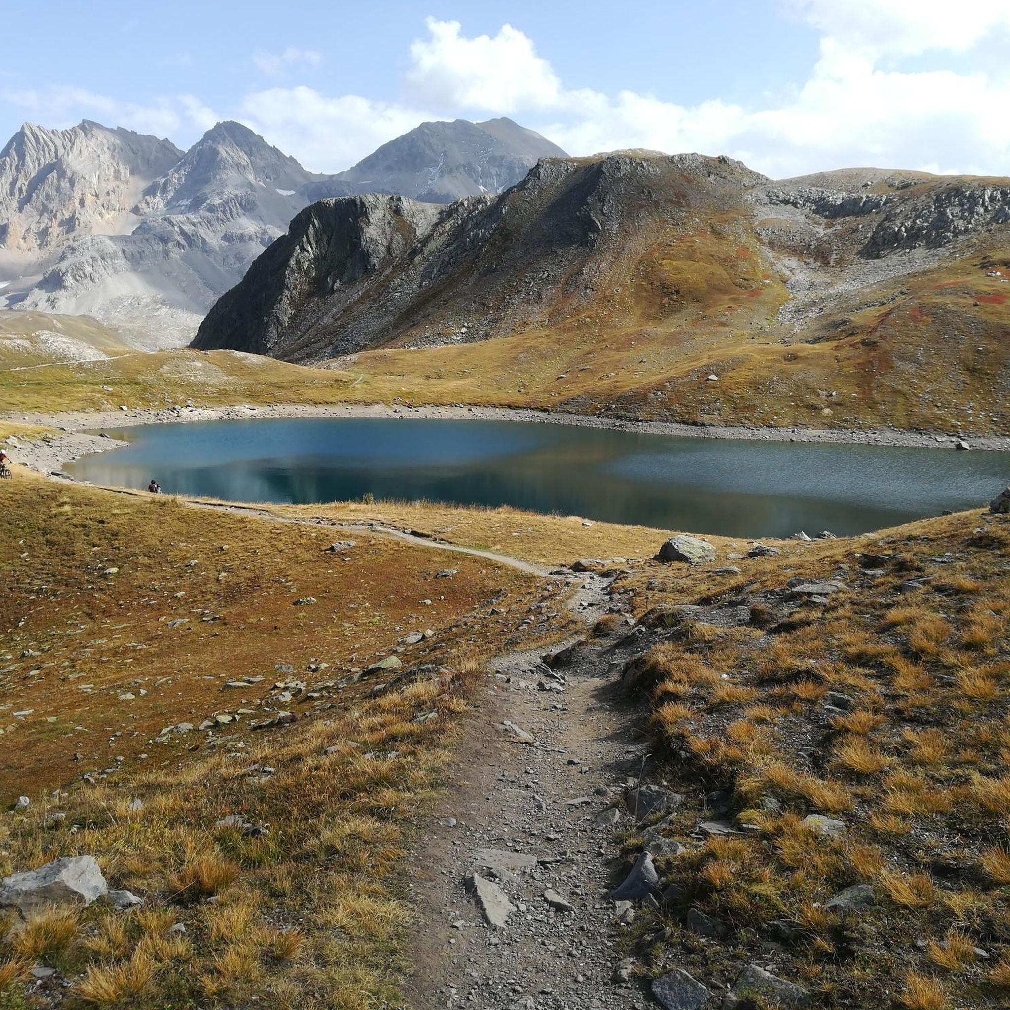
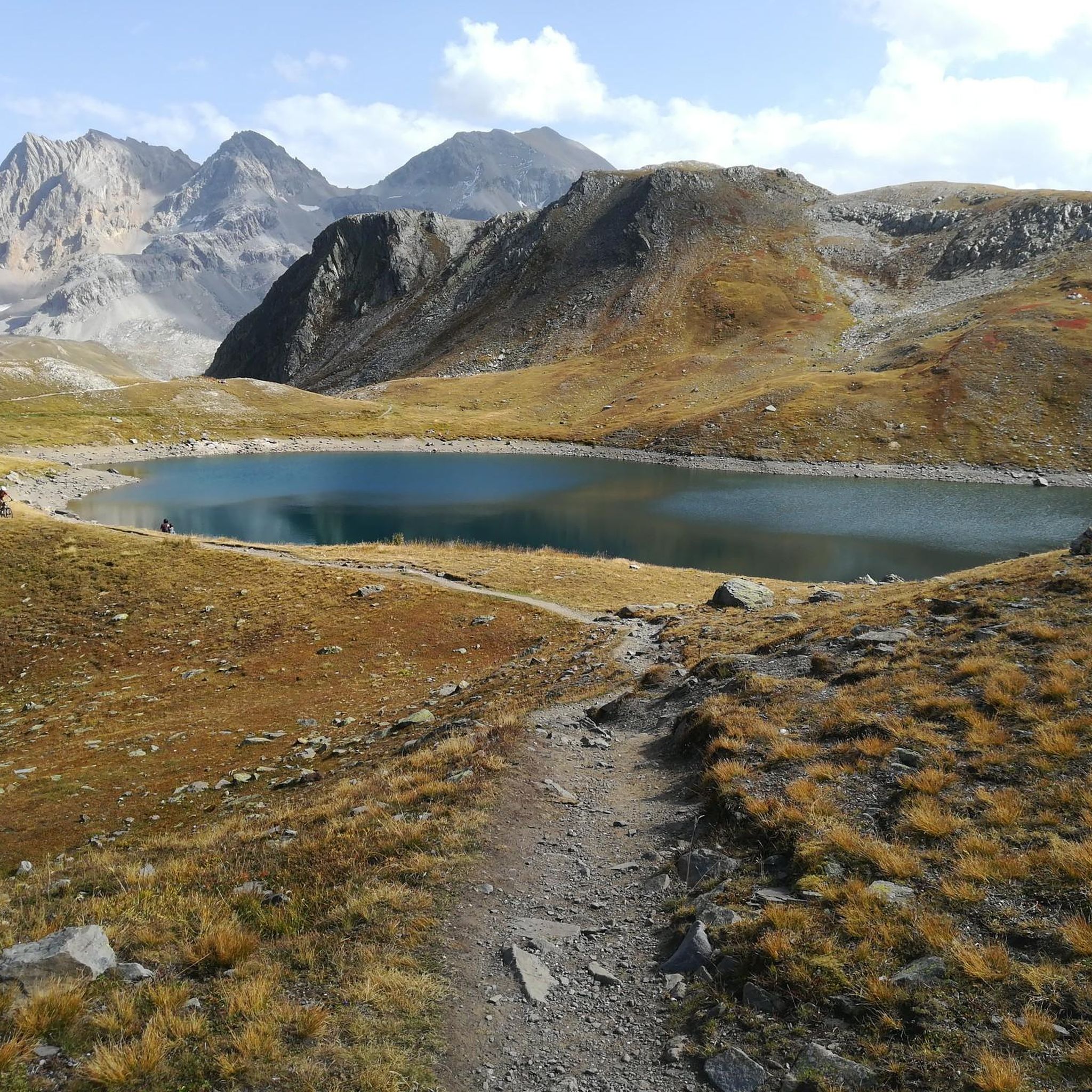
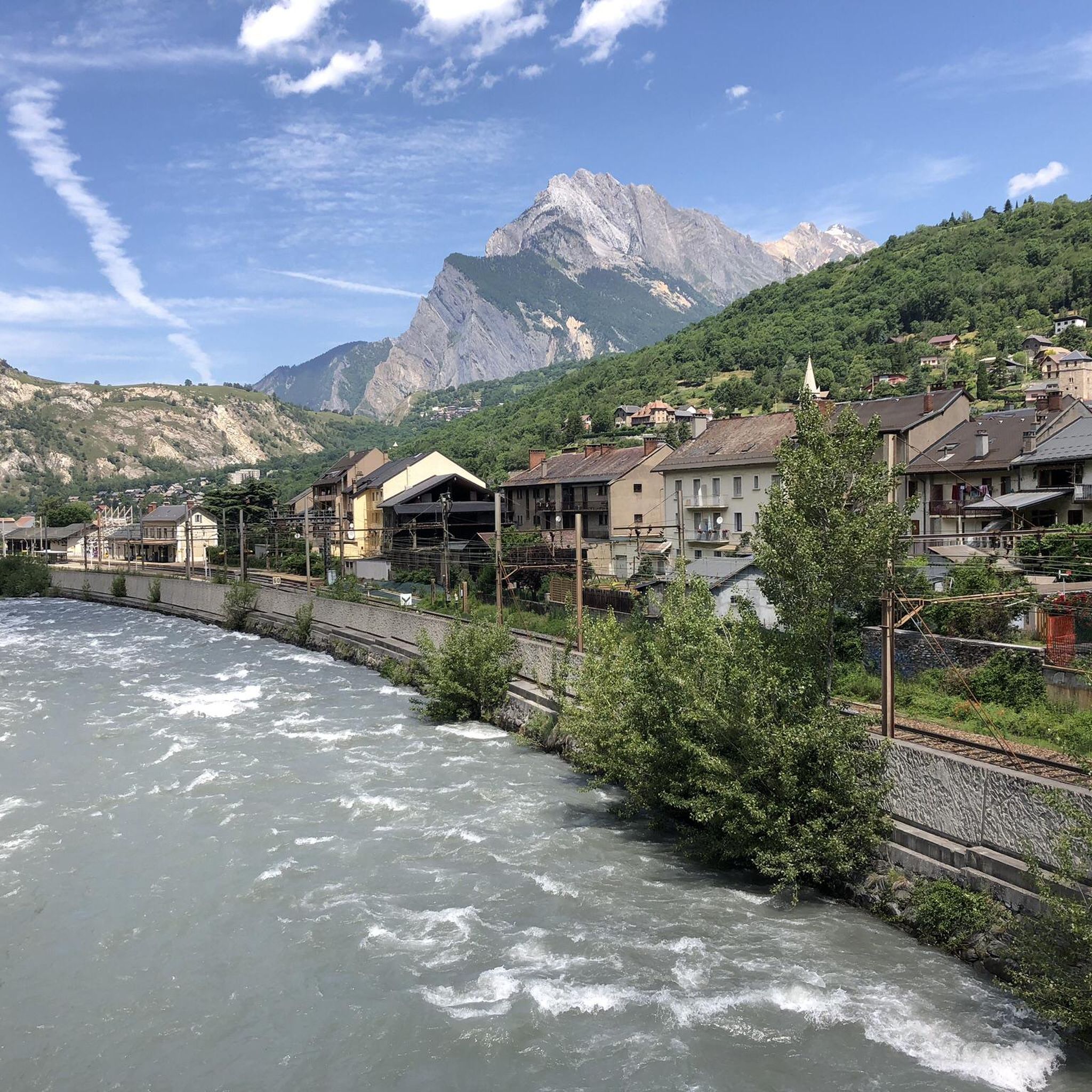
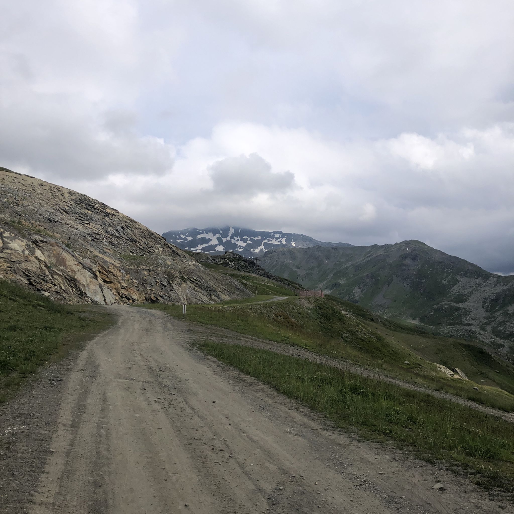
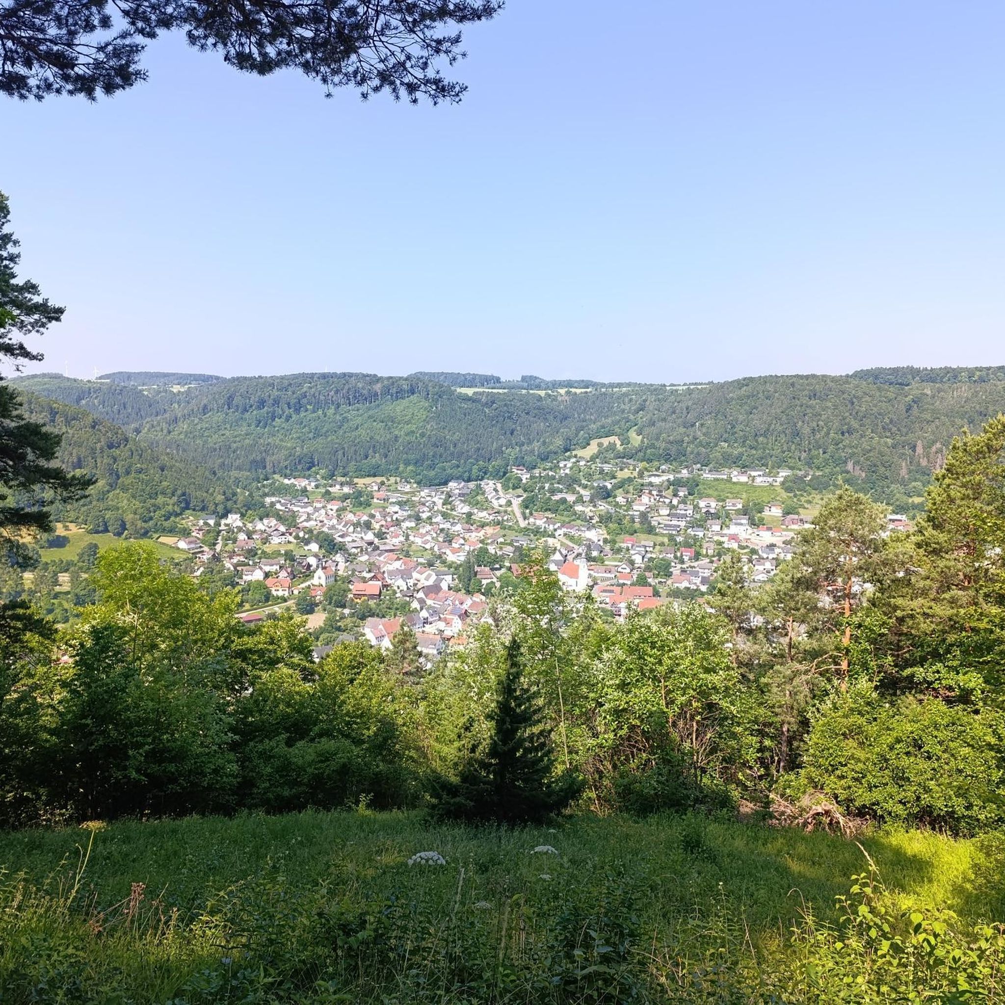
Tips from the Community

Had a nice beer after the round walk and ate an ice cream. Recommended, we had sunny weather with a completely blue sky and stunning views, temperatures between 20 and 26 degrees.
0
0

Very beautiful panoramic point without being a summit, it's a transit point but worth looking around 360 degrees!
0
0

The first of the three refuges in the area.
0
0
Good place to do the circular route through the valley.
0
0

A refuge like so many others. Accessible by car...
0
0
A meadow surrounded by chalets. Magnificent...
0
0

https://youtu.be/AkxhPles800 An incredibly impressive pass. Very doable by mountain bike. The singletrack down into the valley to the south is one of the most beautiful I've ever ridden. It will stay with you forever.
0
0
Frequently Asked Questions
How many mountaineering routes are available around Orelle?
Orelle offers a selection of 13 mountaineering routes, catering to various skill levels. You'll find 3 moderate routes and 10 more challenging, difficult ascents, providing ample opportunities to explore the wild and mineral landscapes of the French Alps.
Are there any beginner-friendly mountaineering routes in Orelle?
While Orelle is known for its challenging alpine environment, there are a few moderate options available. For example, the View of the Massif des Cerces – Refuge des Drayères loop from Cime de Laval is a moderate 9.4 km trail that takes about 3 hours 18 minutes, leading through alpine valleys and past mountain refuges.
What are some of the more advanced mountaineering routes in Orelle?
For experienced mountaineers, Orelle presents several demanding routes. The Mont Thabor loop from Vallée Étroite is a difficult 18.2 km trail with sustained ascents, offering panoramic views of high peaks. Another challenging option is the Sublime – View of the Cerces Massif loop from Cime de Laval, an 18.0 km path providing extensive vistas across the impressive Cerces Massif.
What kind of landscapes can I expect on mountaineering routes in Orelle?
Mountaineering routes around Orelle traverse a truly wild and mineral landscape. You'll encounter steep slopes, rugged ridges, and glacial valleys, characteristic of the French Alps. The region's dramatic scenery is further enhanced by its proximity to the Vanoise National Park, offering diverse alpine terrain and a tranquil, untamed environment.
Are there any circular mountaineering routes in Orelle?
Yes, many of the mountaineering routes in Orelle are designed as loops, allowing you to start and end at the same point. Examples include the challenging Mont Thabor loop from Vallée Étroite and the moderate View of the Massif des Cerces – Refuge des Drayères loop from Cime de Laval.
What notable peaks or summits can be reached on mountaineering routes near Orelle?
The Orelle region provides access to several significant peaks. While some require extensive mountaineering, you can find routes that offer views or ascents of prominent summits. For instance, the Aiguille Rouge (2,548 m) loop from Vallée Étroite offers an opportunity to experience a notable summit. The region is also home to Le Bouchet (3,416 meters) and Cime Caron (3,195 meters).
What do other mountaineers enjoy most about the routes in Orelle?
The mountaineering routes in Orelle are highly rated by the komoot community, with an average score of 4.8 stars from more than 10 reviews. Reviewers often praise the wild and mineral ambiance, the challenging alpine ascents, and the stunning panoramic views of the surrounding high peaks and massifs like the Cerces.
Are there any interesting landmarks or points of interest along the mountaineering routes?
Yes, several routes pass by or offer views of interesting landmarks. For example, the Chapelle Notre-Dame-des-Neiges – Partie Lake loop from Mont d'Ambin Base Tunnel includes a notable chapel. You can also find mountain passes like Col du Télégraphe and Col de la Vallée Étroite, and viewpoints such as Three Crosses Hill in the vicinity.
What is the best time of year for mountaineering in Orelle?
Orelle's mountaineering season typically runs from late spring to early autumn, when the high-altitude trails are generally free of snow and ice. However, conditions can vary significantly, so it's always best to check local weather forecasts and trail conditions before heading out, especially for routes at higher elevations or those with glacial features.
Are there any mountain huts or refuges along the mountaineering routes in Orelle?
Yes, some routes pass by mountain refuges that can serve as resting points or overnight stays for multi-day expeditions. For instance, the View of the Massif des Cerces – Refuge des Drayères loop from Cime de Laval leads past mountain refuges. The region also features huts like Rifugio Re Magi, which can be part of longer tours.
What makes Orelle a unique destination for mountaineering?
Orelle stands out for its wild and mineral ambiance, offering a less-crowded gateway to the vast Les 3 Vallées ski area. Its dramatic landscapes, featuring steep slopes, glacial valleys, and rugged ridges, provide an authentic mountain experience. The proximity to Vanoise National Park and access to significant peaks like Le Bouchet further enhance its appeal for those seeking challenging alpine adventures.
Most popular attractions around Orelle

Get inspired with the komoot mobile app


Explore more
Browse the best Mountain Hikes & Routes in other regions.
