The best walks and hikes around Großmenglatt
4.5
(2416)
15,750
hikers
422
hikes
Hiking around Großmenglatt offers a variety of trails, though specific geographical features of the immediate area are not widely documented. The available routes indicate terrain with notable elevation changes, suggesting hilly or low mountain landscapes. Trails often traverse forested areas and open paths, providing diverse hiking experiences. The region provides a network of routes suitable for various skill levels.
Best hiking trails around Großmenglatt
- The most popular hiking route is Trou du loup – Col des 7 Chemins Shelter loop…
Last updated: July 5, 2026
4.0
(3)
18
hikers
14.2km
04:59
590m
590m
Hard hike. Good fitness required. Sure-footedness, sturdy shoes and alpine experience required.
4.0
(3)
28
hikers
10.1km
03:33
510m
510m
Hard hike. Good fitness required. Sure-footedness, sturdy shoes and alpine experience required.

Sign up for free
4.0
(1)
14
hikers
11.4km
03:30
320m
320m
Moderate hike. Good fitness required. Mostly accessible paths. Sure-footedness required.
8
hikers
8.69km
02:26
160m
160m
Moderate hike. Good fitness required. Mostly accessible paths. Sure-footedness required.
4.0
(2)
8
hikers
8.59km
03:15
410m
410m
Hard hike. Good fitness required. Sure-footedness, sturdy shoes and alpine experience required.
Get access to more routes and recommendations from other explorers.
Sign up for free
Already have an account?
Our route recommendations are based on thousands of hikes, rides, and runs completed by other people on komoot.
Start today with a free account
Your next adventure awaits.
Login or Signup

Tips from the Community


Warning: This route crosses militairy terrain. very dangerous to access on some days of the week.
0
0

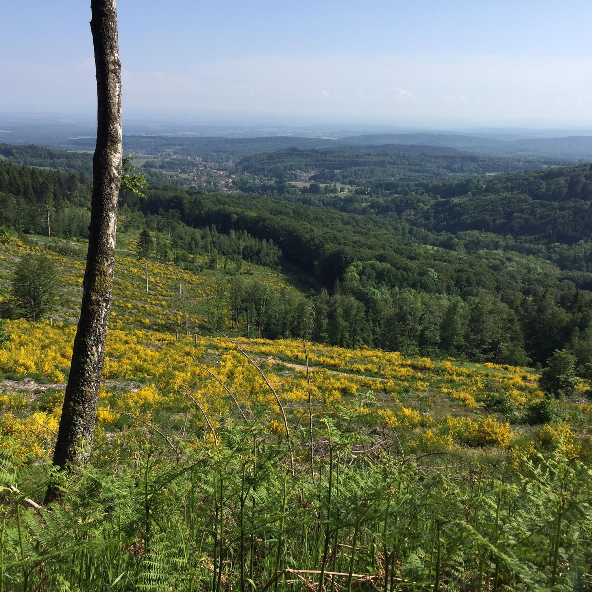
Pass on the border between Haut-Rhin and the Territoire de Belfort.
0
0

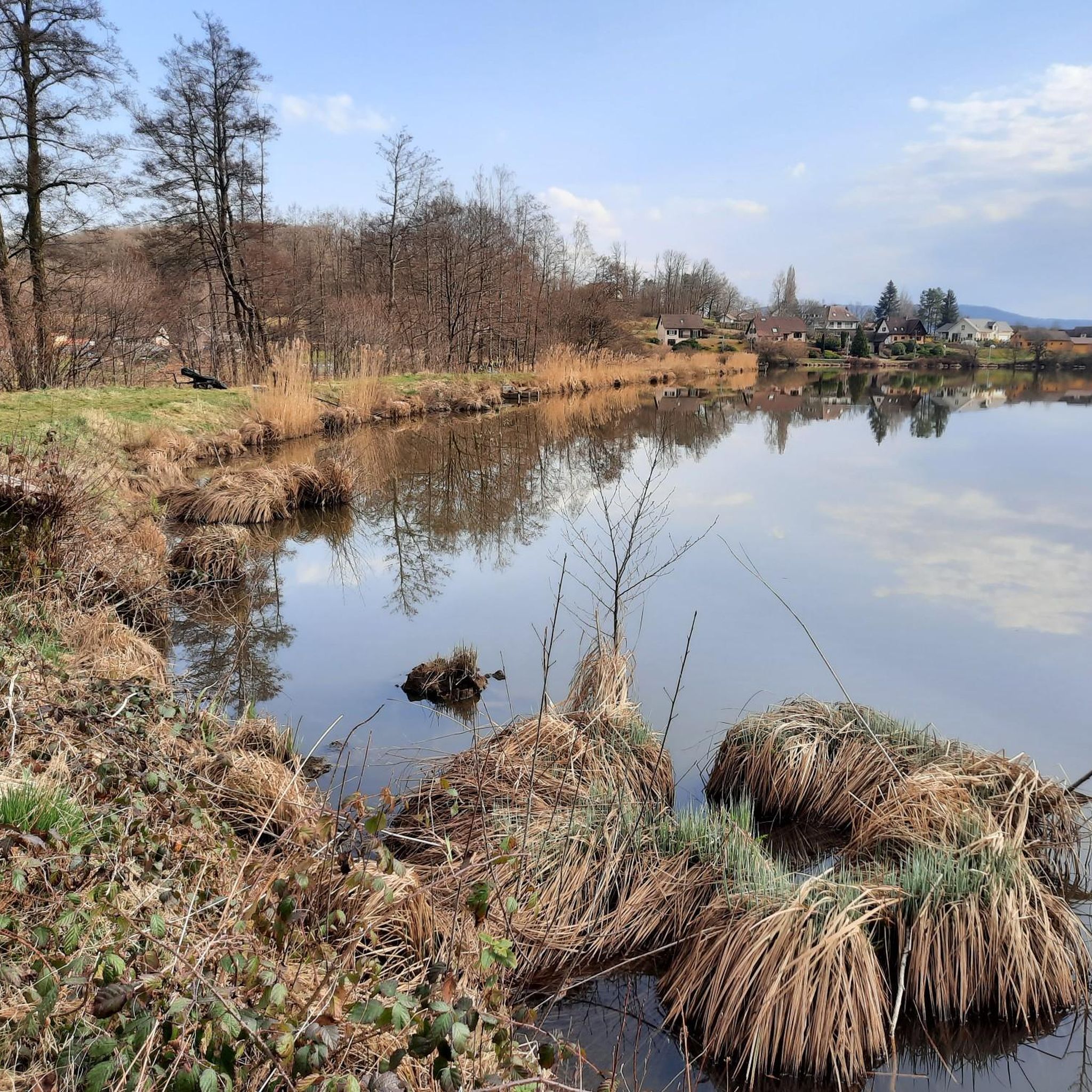
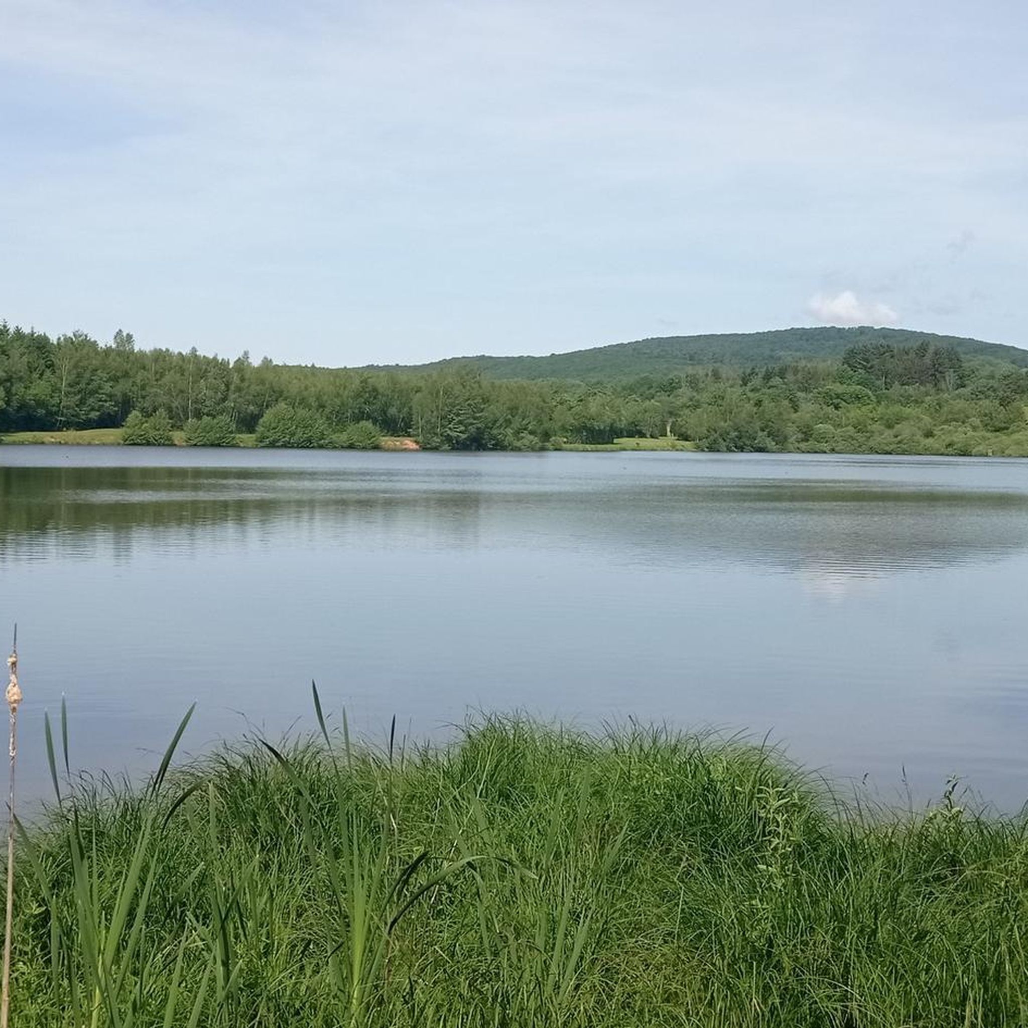
pretty fishing pond, perfect for taking a quick ravito break.
0
0

Frequently Asked Questions
How many hiking trails are available around Großmenglatt?
There are over 400 hiking routes available around Großmenglatt, offering a wide range of options for different skill levels and preferences.
What is the general difficulty level of hiking trails in Großmenglatt?
The trails around Großmenglatt offer a mix of difficulties. You'll find approximately 130 easy routes, over 230 moderate trails, and about 50 challenging hikes, ensuring options for all experience levels.
What do other hikers say about the trails in Großmenglatt?
The hiking trails in Großmenglatt are highly regarded by the komoot community, with an average rating of 4.5 stars from over 2,200 reviews. Hikers often praise the varied terrain, which includes both forested areas and open paths, and the significant elevation changes that provide rewarding experiences.
Are there any circular hiking routes in Großmenglatt?
Yes, many routes around Großmenglatt are designed as loops. For example, you can explore the Haut Guignot – Route du Fayé loop from Grosmagny, a moderate 7.1-mile trail, or the more challenging Trou du loup – Col des 7 Chemins Shelter loop from Étueffont.
What natural attractions or viewpoints can I discover while hiking near Großmenglatt?
While hiking near Großmenglatt, you can find several natural attractions and viewpoints. Notable spots include the Salbert Viewpoint, offering panoramic vistas, and the serene Neuweiher Lake. The region also features various mountain peaks that provide excellent views.
Are there any mountain peaks to explore around Großmenglatt?
Yes, the area around Großmenglatt features several mountain peaks that are popular with hikers. You can explore summits like Ballon d'Alsace, La Planche des Belles Filles, and Tête Ronde (Rundkopf), which offer challenging climbs and rewarding views.
Are there family-friendly hiking options in Großmenglatt?
While specific family-friendly routes are not detailed, the presence of over 130 easy trails suggests there are suitable options for families. These typically feature less elevation gain and shorter distances, making them enjoyable for all ages. Look for routes marked as 'easy' in the guide.
Are there any huts or shelters available along the trails for breaks?
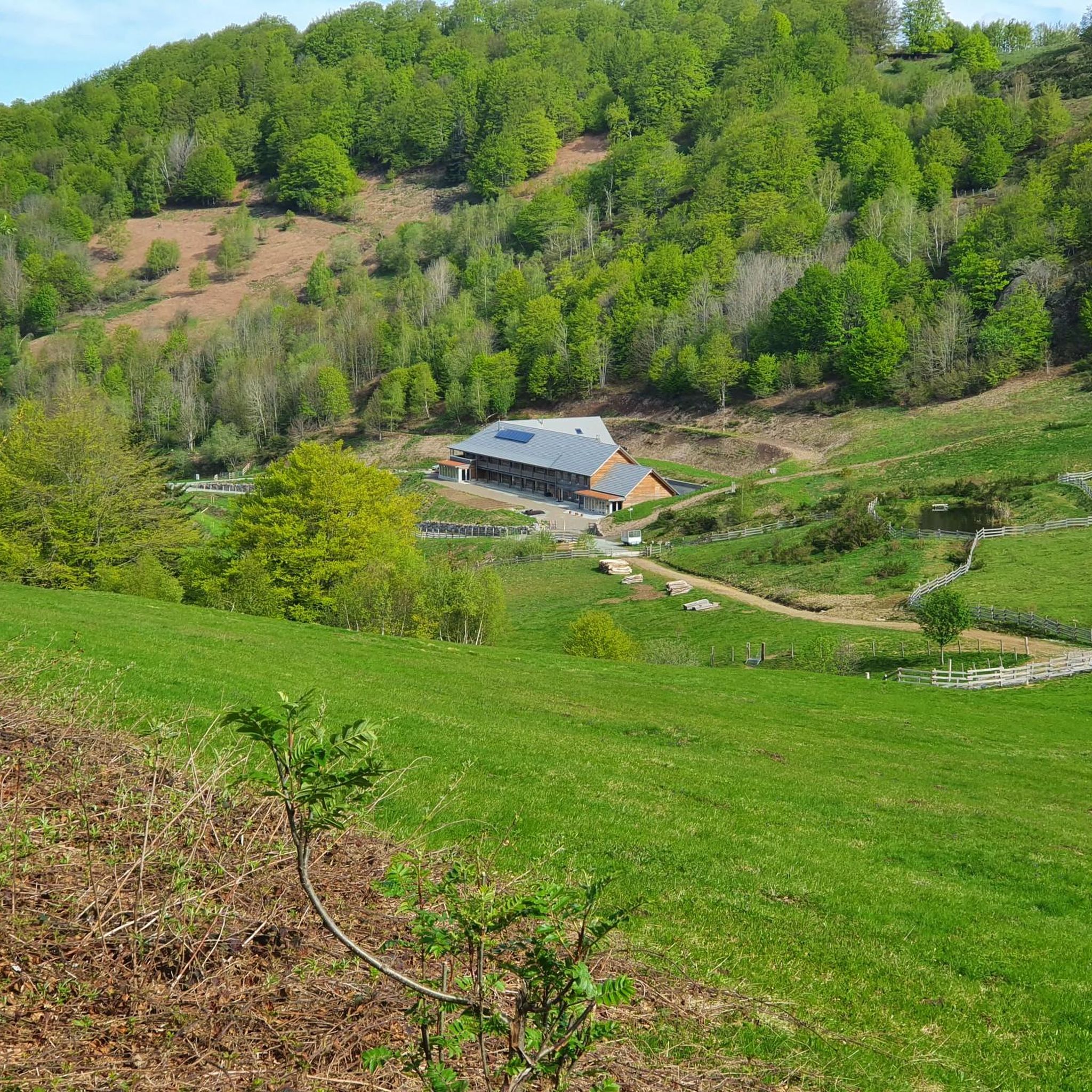
Yes, there are several huts and shelters in the vicinity of Großmenglatt that can serve as excellent spots for breaks or refreshments. Examples include the Gresson Moyen Farm Inn, Schahling Chalet, and the Neuweiher Refuge Inn.
What kind of terrain can I expect on hikes around Großmenglatt?
Hiking around Großmenglatt involves varied terrain, often characterized by significant elevation changes, suggesting hilly or low mountain landscapes. Trails frequently traverse forested areas and open paths, providing a diverse and engaging hiking experience.
What is the longest hiking trail around Großmenglatt?
One of the longer and more challenging routes is the Trou du loup – Col des 7 Chemins Shelter loop from Étueffont, which spans 8.8 miles (14.2 km) and involves substantial elevation gain.
Are there any challenging hikes for experienced trekkers?
Absolutely. For experienced trekkers, routes like the Lochberg Pass (920 m) – Col des 7 Chemins Shelter loop from Riervescemont offer significant climbs and a pass at 920 meters. Another demanding option is the Hiking loop from Rougegoutte, which also features considerable elevation changes.
Is public transport available to reach hiking trailheads in Großmenglatt?
While specific public transport details for Großmenglatt are not widely documented, many hiking regions in Germany are accessible via public transport. It's advisable to check local bus or train schedules for routes connecting to specific trailheads before your visit.
Most popular routes around Großmenglatt
Most popular attractions around Großmenglatt

Get inspired with the komoot mobile app


Explore more
Browse the best Hikes in other regions.
