The best running trails around Kluingen
4.4
(111)
4,731
runners
348
runs
Jogging routes around Kluingen offer a diverse range of terrain, from relatively flat paths alongside water features to more challenging trails with significant elevation changes. The region features a mix of natural landscapes, including areas with canals and ponds, providing varied backdrops for running. Routes often traverse through developed areas and natural settings, catering to different preferences for surface and scenery. The topography can range from gentle gradients suitable for easy runs to steeper ascents requiring good fitness.
Best jogging…
Last updated: June 27, 2026
2.5
(2)
42
runners
27.9km
03:40
970m
970m
Hard run. Very good fitness required. Mostly accessible paths. Some sure footedness required.
44
runners
7.66km
00:48
10m
10m
Moderate run. Good fitness required. Mostly paved surfaces. Suitable for all skill levels.

Sign up for free
78
runners
9.20km
00:57
10m
10m
Moderate run. Good fitness required. Mostly paved surfaces. Suitable for all skill levels.
5.0
(3)
34
runners
8.43km
00:53
40m
40m
Moderate run. Good fitness required. Mostly paved surfaces. Suitable for all skill levels.
24
runners
6.06km
00:39
10m
10m
Moderate run. Good fitness required. Mostly paved surfaces. Suitable for all skill levels.
Get access to more routes and recommendations from other explorers.
Sign up for free
Already have an account?
Our route recommendations are based on thousands of hikes, rides, and runs completed by other people on komoot.
Start today with a free account
Your next adventure awaits.
Login or Signup
Tips from the Community

You're absolutely right – the tower in the picture is clearly made of metal, not wood. Thanks for pointing that out. Here's the corrected version: --- 🗼 Observation tower near Pierrevillers – A steel view Rising in the middle of the forest near Pierrevillers, a metal observation tower, with its open structure, offers a panoramic view of the Moselle Valley, the surrounding hills, and, on a clear day, even as far as Luxembourg. 🔩 The solid steel structure is accessible via several platforms and stairs and, despite its height, appears delicately embedded in the natural surroundings. **Tip:** Ideal in good weather – the view from the top is worth every climb and is perfect for a quiet moment or impressive photos.
1
1

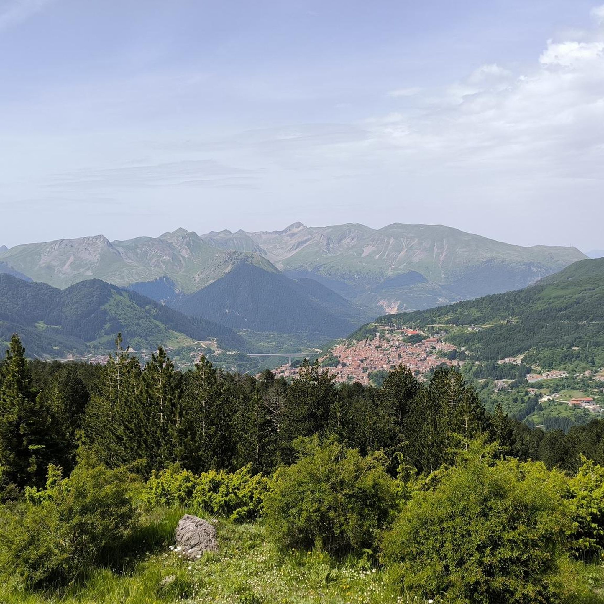
Standing 25 metres high and at an altitude of 390 metres, the Drince Tower offers a view of the Metz urban area and its surroundings. In good weather, you can even see the Ardennes, Luxembourg and Belgium. A beautiful view to relax after the climb.
1
0


This tower is essential, even in the race. Take a moment to do some interval training on the steps of the tower and reward yourself with taking in the views from the top of the tower.
4
0
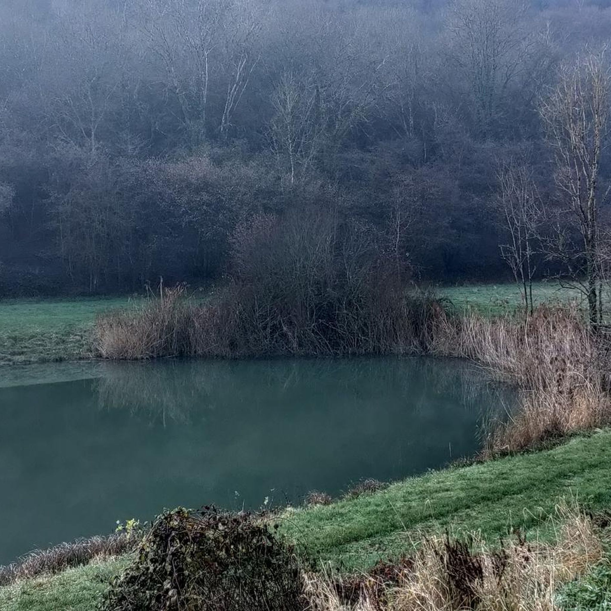
A beautiful pond to explore with a trail to match.
3
0
The view from this tower is breathtaking.
6
0
Among the trees, this pond is an important point of interest.
6
0
Frequently Asked Questions
How many running routes are available around Kluingen?
There are over 300 jogging routes available around Kluingen, offering a wide variety of options for all fitness levels. You can find everything from easy, flat paths to challenging trails with significant elevation changes.
What kind of terrain can I expect on jogging routes in Kluingen?
Jogging routes in Kluingen feature diverse terrain. You'll find paths alongside canals and ponds, as well as trails that traverse through natural settings and developed areas. The topography ranges from gentle gradients, ideal for easy runs, to steeper ascents that require good fitness. Many routes offer scenic views, particularly those near water features.
Are there running routes suitable for beginners in Kluingen?
Yes, Kluingen offers a good selection of routes suitable for beginners. There are over 20 easy routes with minimal elevation gain, perfect for those starting out or looking for a relaxed run. A good example is the Running loop from Rombas - Clouange, which is a moderate 4.8-mile path with very little elevation.
What do other runners say about the jogging trails in Kluingen?
The jogging trails in Kluingen are highly rated by the komoot community, with an average score of 4.3 stars from over 100 reviews. Runners often praise the varied terrain, the scenic beauty of routes near water features, and the options available for different ability levels, from easy runs to difficult challenges.
Can I find challenging running routes with significant elevation gain in Kluingen?
Absolutely. For experienced runners seeking a challenge, Kluingen offers over 50 difficult routes with substantial elevation gain. A prime example is the Drince Tower – Water level loop from Rombas - Clouange, a 17.5-mile trail with nearly 1000 meters of elevation gain, taking approximately 3 hours and 40 minutes to complete.
Are there any running routes that feature water bodies or scenic views?
Yes, many running routes in Kluingen incorporate water features and offer scenic views. You can explore trails like the Étang de la Ballastière loop from Rombas, which leads through areas with ponds. Additionally, the Tivoli Pond is a notable highlight that can be part of a scenic run, such as the Climb to Tivoli – Tivoli Pond loop from Vitry-sur-Orne.
Are there any circular running routes in Kluingen?
Yes, many of the running routes in Kluingen are designed as loops, offering convenient circular options. Popular examples include the Running loop from Rombas - Clouange and the Étang de la Ballastière loop from Rombas, allowing you to start and finish at the same point.
What interesting landmarks or attractions can I see while running in Kluingen?
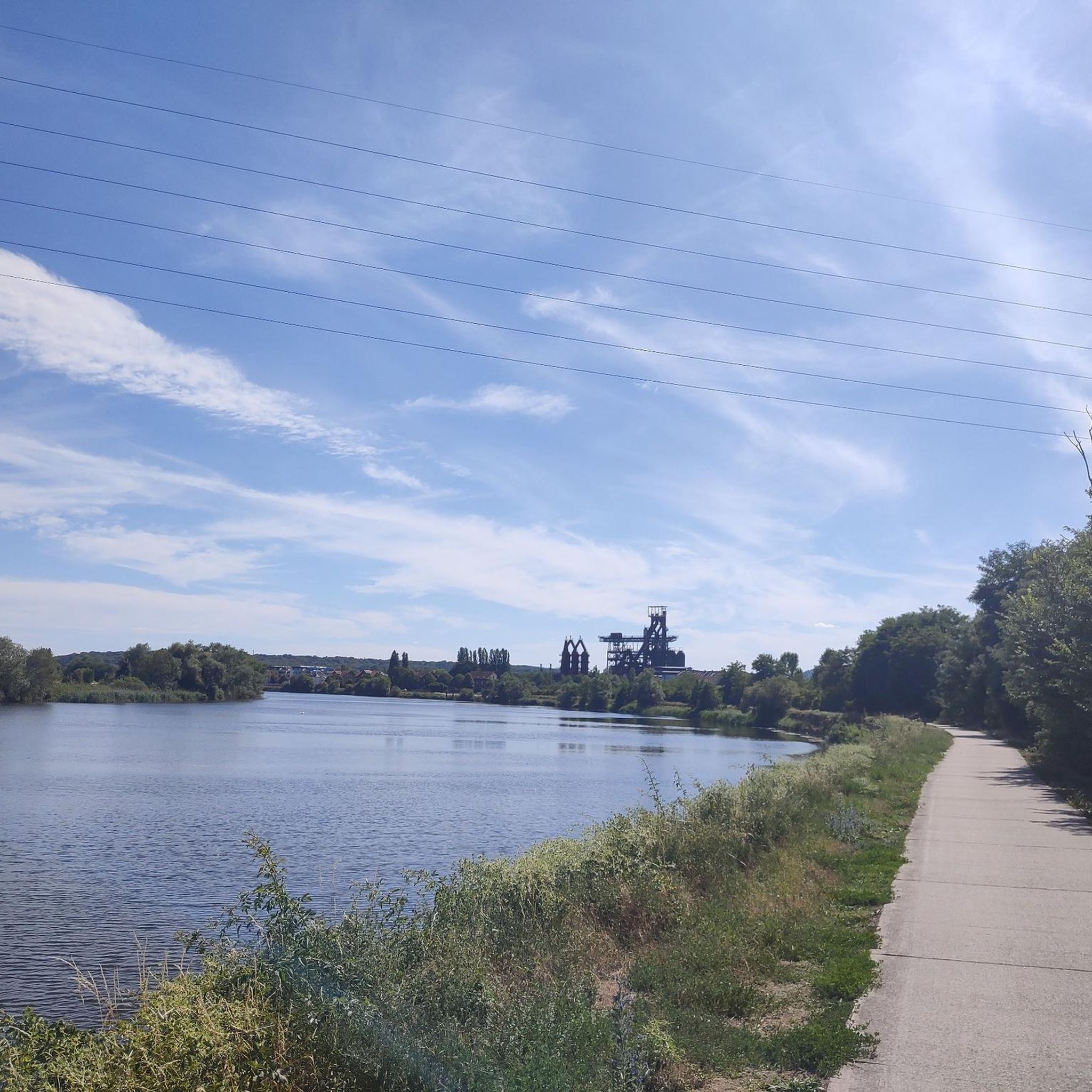
While jogging in Kluingen, you can encounter several interesting landmarks and attractions. These include the industrial heritage site of U4 - Blast Furnace Park (Uckange), the serene Tivoli Pond, and historical points like The Pilgrims' Cross. Some routes also run alongside sections of the Charles le Téméraire cycle route.
Are there any long-distance running options for endurance training?
For endurance training, Kluingen offers several longer routes. The most extensive is the Drince Tower – Water level loop from Rombas - Clouange, which spans 17.5 miles (28.1 km) and features significant elevation, making it ideal for long-distance preparation.
What is a good moderate-difficulty running route in Kluingen?
A great moderate-difficulty option is the Running loop from Vitry-sur-Orne. This route is 3.9 miles (6.3 km) long with a modest elevation gain, making it suitable for a steady run without being overly strenuous, typically completed in about 40 minutes.
Are there any routes that combine running with views of ponds or lakes?
Yes, the Climb to Tivoli – Tivoli Pond loop from Vitry-sur-Orne is an excellent choice. This 9.5-mile (15.3 km) difficult route not only offers a good workout with over 200 meters of elevation but also provides scenic views as it passes by the beautiful Tivoli Pond.
Most popular attractions around Kluingen

Get inspired with the komoot mobile app


Explore more
Browse the best Running Trails & Routes in other regions.
