The best walks and hikes around La Rochette
4.6
(359)
3,866
hikers
175
hikes
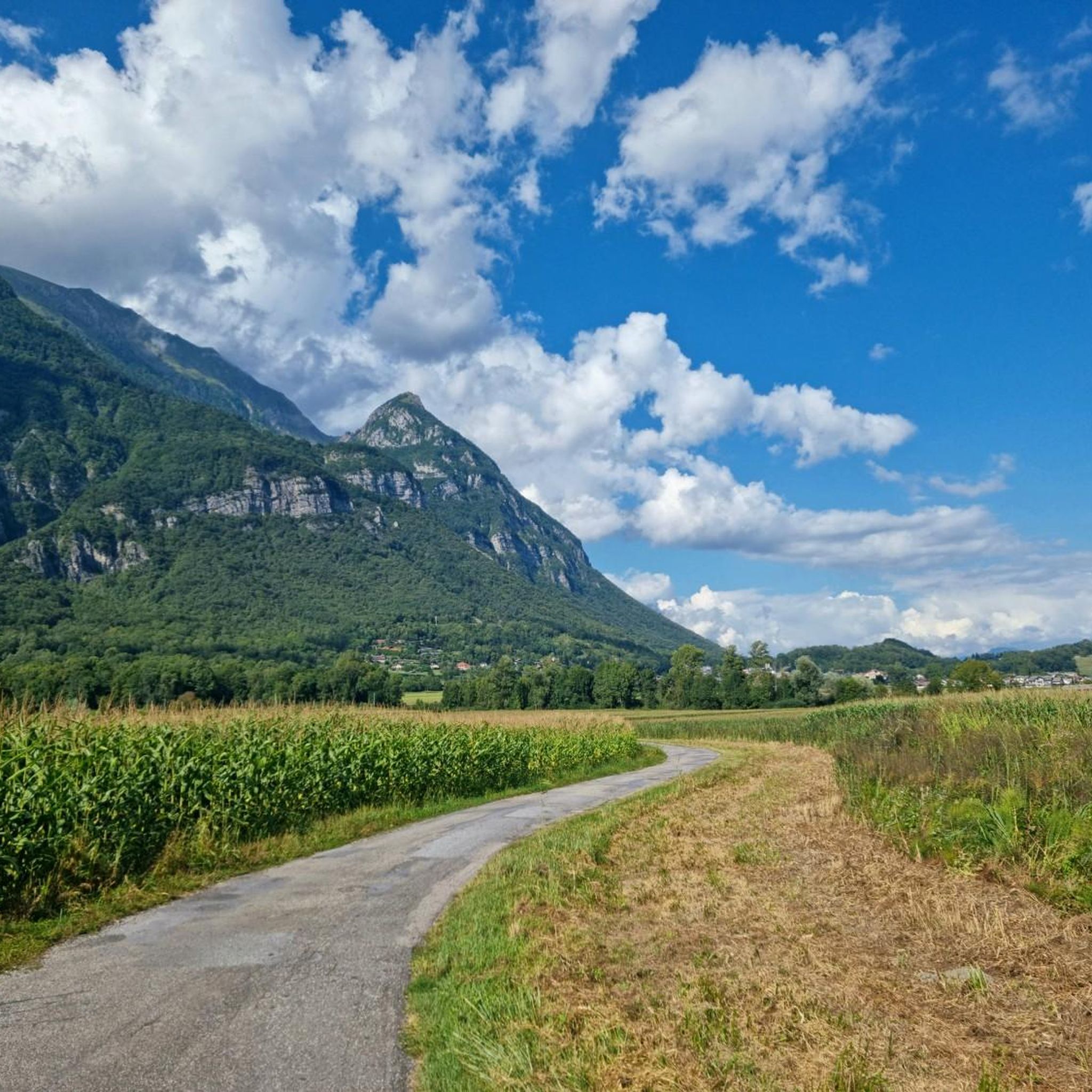
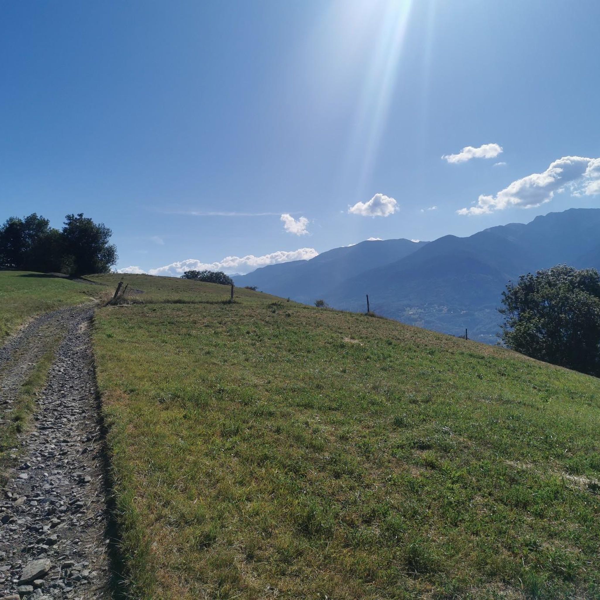
Hiking around La Rochette offers a diverse range of landscapes, from wide valleys to high-altitude peaks. The region features a mountain environment with streams, waterfalls, and varied vegetation. Hikers can explore trails that wind through forests and offer views of surrounding massifs.
Best hiking trails around La Rochette
- The most popular hiking route is Lac Saint Clair – La carrière loop from Détrier, a 5.2 miles (8.4 km) trail that takes 2 hours 40 minutes to complete, featuring moderate…
Last updated: July 1, 2026
4.9
(8)
54
hikers
8.53km
02:42
330m
330m
Moderate hike. Good fitness required. Easily-accessible paths. Suitable for all skill levels.
5.0
(2)
56
hikers
3.37km
00:53
30m
30m
Easy hike. Great for any fitness level. Easily-accessible paths. Suitable for all skill levels.

Sign up for free
10
hikers
7.36km
02:11
220m
220m
Moderate hike. Good fitness required. Easily-accessible paths. Suitable for all skill levels.
5.0
(1)
10
hikers
21.5km
08:28
1,390m
1,390m
Hard hike. Very good fitness required. Mostly accessible paths. Sure-footedness required.
5.0
(1)
6
hikers
8.89km
03:20
490m
490m
Moderate hike. Good fitness required. Mostly accessible paths. Sure-footedness required.
Get access to more routes and recommendations from other explorers.
Sign up for free
Already have an account?
Our route recommendations are based on thousands of hikes, rides, and runs completed by other people on komoot.
Start today with a free account
Your next adventure awaits.
Login or Signup


Tips from the Community

It is a surprise to arrive at this vertical rock face, the quarry, with the clear view on the left, dominating Detrier below and the Moutaret further to the left. It is a beautiful little valley that can only be seen from above. From there, a hiking trail leads to the chapel of Ste Marguerite before going back down to Arvillard on the other side of Mont Pézard.
0
0

Col la Perche is located at an altitude of 1,986 meters, between Pointe de Rognier (2,341 meters) and Chapotet (2,083 meters).
0
0

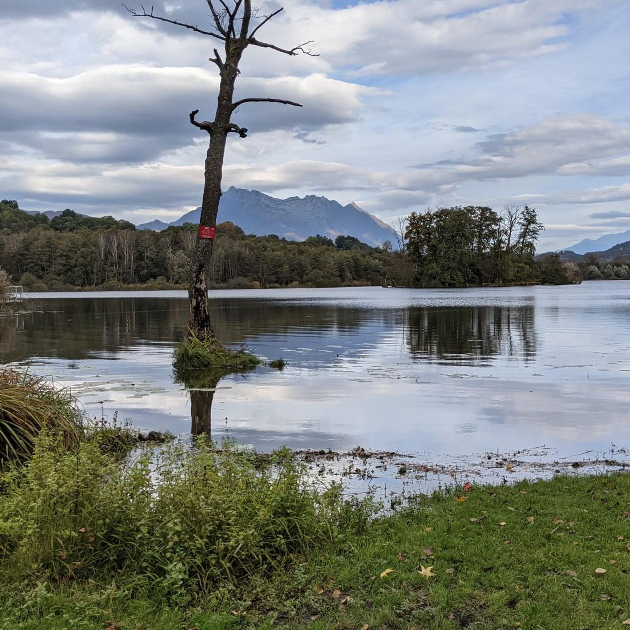
The Lac de Sainte Hélène, a natural lake fed by the Coisetan stream, is a preserved area where the banks remain wild. A landscaped path accessible to people with reduced mobility allows you to go around the lake away from the banks. Ideal picnic point and departure point for hikes. No swimming.
3
0
Frequently Asked Questions
How many hiking trails are available around La Rochette?
There are over 160 hiking trails in the La Rochette area, catering to various skill levels. You'll find a diverse range of options, from easy walks to more challenging routes through varied terrain.
What kind of landscapes can I expect to see while hiking in La Rochette?
The La Rochette region offers a rich variety of landscapes. You can expect to encounter wide valleys, high-altitude peaks, mountain streams, and diverse vegetation. Some areas feature dense forests, while others provide panoramic views of surrounding massifs like the Vanoise or Mont Blanc, depending on the specific location within La Rochette.
Are there any easy hiking trails suitable for beginners or families?
Yes, La Rochette offers 35 easy hiking trails. These routes are generally shorter and have less elevation gain, making them ideal for beginners or families looking for a relaxed outdoor experience. For example, the area near Grenoble features relatively easy paths, some under a kilometer, that can be completed quickly.
Are there any circular hiking routes in La Rochette?
Yes, many routes in La Rochette are designed as loops. For instance, the Lac Saint Clair – La carrière loop from Détrier is a popular moderate circular trail. Another option is the La Bathie track loop from Villaroux, which also offers varied terrain in a circular format.
What are some notable landmarks or attractions I can see near the hiking trails?
Around La Rochette, you can explore several interesting landmarks and natural features. Hikers can discover historical structures like the Towers of Montmayeur on the Les Tours de Montmayeurs – Tower loop from La Croix-de-la-Rochette. The region also features beautiful natural attractions such as Lake Saint-André and various mountain passes like Marocaz Pass and Col du Grand Cucheron.
What is the best time of year to go hiking in La Rochette?
La Rochette generally enjoys a sunny climate, making it pleasant for outdoor adventures. While specific conditions vary by season and altitude, the region's diverse terrain means hiking is enjoyable for much of the year. Summer offers warm weather for high-altitude routes, while spring and autumn provide milder temperatures and vibrant scenery in the valleys.
Are there any challenging or difficult routes for experienced hikers?
Yes, for experienced hikers, there are 30 difficult routes available in La Rochette. These trails often involve significant elevation gains and longer distances. An example is the Col de la Perche – Ramavoulla Point loop from Presle, which covers over 21 km with substantial climbing.
What do other hikers say about the trails in La Rochette?
The hiking routes in La Rochette are highly rated by the komoot community, with an average score of 4.6 stars from over 370 reviews. Hikers often praise the varied terrain, the stunning panoramic viewpoints, and the well-maintained paths that lead through forests and past historical sites.
Can I find trails with waterfalls or mountain streams in La Rochette?
Yes, the region of La Rochette is characterized by its mountain environment, which includes numerous mountain streams and waterfalls. Depending on the specific location, you can find trails that follow these water features, adding to the scenic beauty of your hike.
Is there parking available at the trailheads in La Rochette?
While specific parking details vary by trailhead, many popular hiking areas in La Rochette offer designated parking facilities. It's advisable to check individual route descriptions on komoot for precise information regarding parking availability at the starting points of your chosen trails.
Are there any historical sites or ruins to explore on the trails?
Yes, some trails in La Rochette lead past historical sites. For example, the Tower – Château de Montmayeur loop from Villaroux offers views of historical structures. In other areas, like near Grenoble, you might encounter historical landmarks such as the Porte de France or ancient ruins along the paths.
Most popular routes around La Rochette
Most popular attractions around La Rochette

Get inspired with the komoot mobile app


Explore more
Browse the best Hikes in other regions.
