The best walks and hikes around Lauzerville
4.4
(327)
3,202
hikers
232
hikes
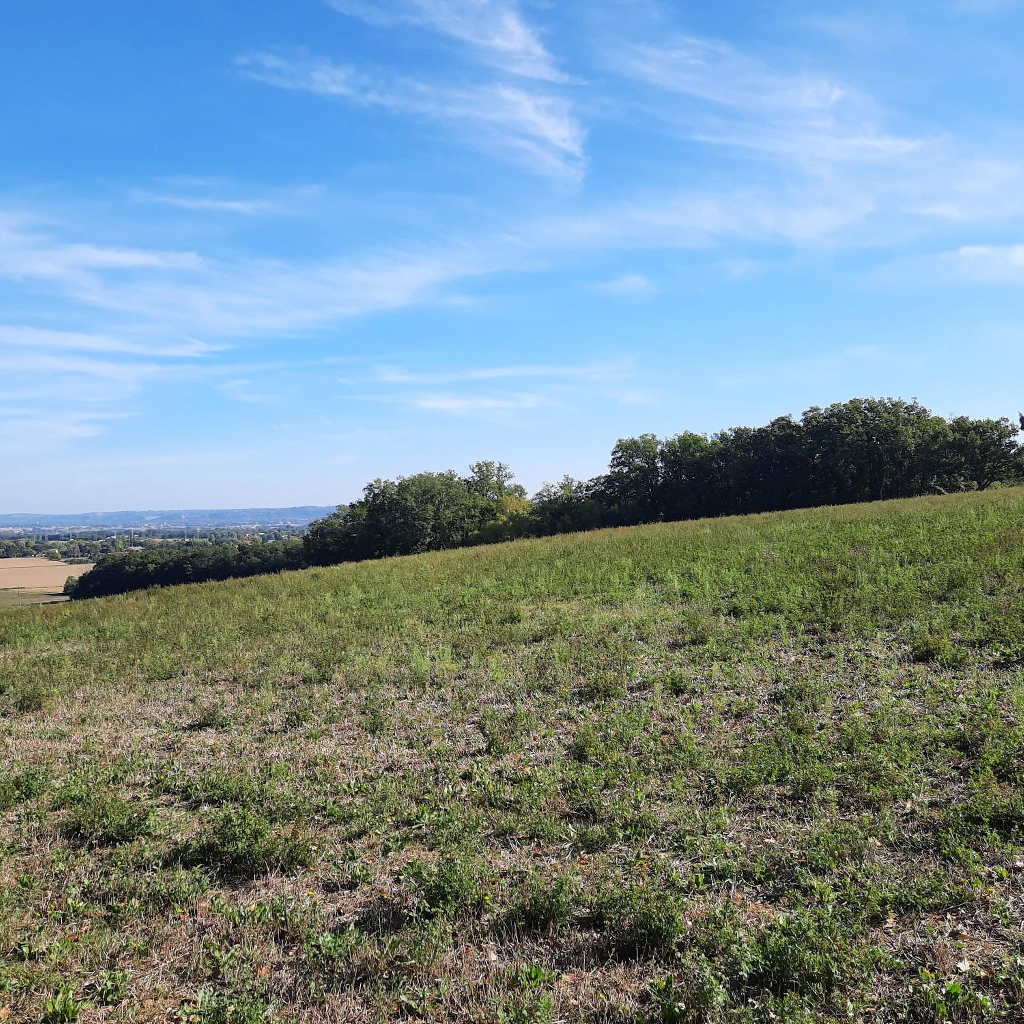
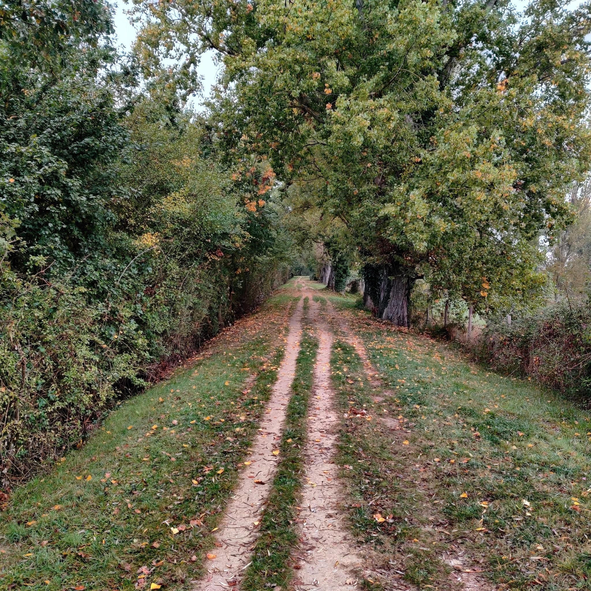
Hiking around Lauzerville offers access to diverse natural features within the broader Toulouse Pyrénées region. The area is characterized by rolling hills, forests, and varied landscapes, providing opportunities for exploration. Situated within the Collines Ouvertes du Lauragais, the terrain includes both open expanses and wooded areas. Proximity to the Haute-Garonne and the Pyrénées contributes to a natural environment suitable for outdoor activities.
Best hiking trails around Lauzerville
- The most popular hiking route is Lake Flourens – Lake Flourens loop from…
Last updated: October 7, 2026
3.0
(1)
17
hikers
2.69km
00:43
30m
30m
Easy hike. Great for any fitness level. Easily-accessible paths. Suitable for all skill levels.
5.0
(1)
28
hikers
5.66km
01:32
80m
80m
Easy hike. Great for any fitness level. Easily-accessible paths. Suitable for all skill levels.

4.0
(1)
14
hikers
22.0km
05:34
50m
50m
Hard hike. Very good fitness required. Easily-accessible paths. Suitable for all skill levels.
4.0
(2)
8
hikers
9.55km
02:30
80m
70m
Moderate hike. Good fitness required. Easily-accessible paths. Suitable for all skill levels.
12
hikers
5.07km
01:18
20m
20m
Easy hike. Great for any fitness level. Easily-accessible paths. Suitable for all skill levels.
Get access to more routes and recommendations from other explorers.
Already have an account?
Our route recommendations are based on thousands of hikes, rides, and runs completed by other people on komoot.
Start today with a free account
Your next adventure awaits.



Tips from the Community

Single lock, known as "single-chamber", it was built in 1670. It is one of the sixty-three locks that regulate the passage of barges from the port of l'Embouchure to the Thau lagoon. Its oval lock chamber is characteristic of the Canal du Midi; only the locks crossing Toulouse are rectangular.
0
0
The Canal du Midi, formerly Canal Royal, is a 17th-century technical feat designed by Pierre-Paul Riquet to connect the Atlantic to the Mediterranean. Today, it is above all a place for relaxation and discovery, where heritage, nature, and conviviality blend together.
1
0
Round arch bridge typical of the late 17th century, which could date back to the construction of the Canal. It shows traces of the destruction of its vault by Soult's army after the Battle of Toulouse on April 10, 1814, and its repair in 1821. Watering trough attached to the upstream side of the left bank abutment.
0
0
The Canal du Midi, formerly Canal Royal, is a technical feat from the 17th century, designed by Pierre-Paul Riquet to connect the Atlantic to the Mediterranean. Today, it is above all a place for relaxation and discovery, where heritage, nature, and conviviality meet.
0
0
The Canal du Midi, formerly the Royal Canal, is a 17th-century technical feat designed by Pierre-Paul Riquet to connect the Atlantic to the Mediterranean. Today, it is above all a place for relaxation and discovery, where heritage, nature, and conviviality blend together.
0
0
The lock keeper's house and the dovecote, as well as the harbour and the washhouse, date from the construction of the canal. The washhouses, planned from the outset, were strictly regulated. Woe betide anyone who came to wash their laundry without authorization! As for laundry theft, it was punishable by imprisonment. This covered washhouse is the oldest, equipped with a bench and a fireplace to heat the water.
0
0

Pleasant and easy route following the Canal du Midi. Avoid in strong E/SE wind. Recommended for hybrid / mountain bikes.
1
0

This bridge is representative of the structures created by Pierre-Paul Riquet during the construction of the Canal du Midi at the end of the 17th century. Its semicircular arch forms a perfect half-circle. It is typical of the structures found along the entire length of the canal. Its construction method, dimensions, and the use of local materials represent a standardization that contributes to the canal's unique character. Red brick is the emblematic material of the Toulouse plain. This bridge, located in the municipalities of Deyme and Pompertuzat, has been listed as a historical monument since 1998.
0
0
Frequently Asked Questions
How many hiking trails are available around Lauzerville?
There are over 200 hiking routes around Lauzerville, offering a wide variety of options for different skill levels and preferences. Nearly 3,000 hikers have explored these trails using komoot.
What types of landscapes can I expect to see on hikes near Lauzerville?
Hiking around Lauzerville, situated within the broader Toulouse Pyrénées region, offers diverse natural features. You can expect varied landscapes including forests, scenic viewpoints, and accessible botanical trails like the Sentier Botanique du Parc de la Saune. The area benefits from its proximity to the natural wealth of the Haute-Garonne and the Pyrénées.
Are there easy hiking trails suitable for beginners or families in Lauzerville?
Yes, Lauzerville offers many easy hiking options. Out of over 200 routes, 126 are classified as easy. A great example is the Lake Flourens loop from Flourens, an easy 4.7 km path that provides a gentle walk around the lake.
Are there any circular walks available around Lauzerville?
Yes, many routes around Lauzerville are circular. For instance, the Lake Flourens – Lake Flourens loop from Flourens is a moderate 9.7 km trail, and the Lac de Toulouse – Lake Flourens loop from Flourens is an easy 6.0 km option, both offering scenic circular paths.
What are some interesting points of interest or landmarks to see while hiking near Lauzerville?
While hiking near Lauzerville, you can explore several interesting points. The Canal du Midi Pathway offers scenic walks, and you might encounter historical structures like the Castanet Lock or the Brick Bridge on the Canal du Midi at Pompertuzat. The Sentier Botanique du Parc de la Saune is also a notable local attraction for experiencing flora.
What is the general difficulty level of hikes in the Lauzerville area?
The hikes in Lauzerville cater to a range of abilities. There are 126 easy routes, 94 moderate routes, and 7 more challenging trails. This variety ensures options for casual walkers and more experienced hikers alike.
What do other hikers say about the trails in Lauzerville?
The trails in Lauzerville are highly regarded by the komoot community, with an average rating of 4.5 stars from over 270 reviews. Hikers often praise the varied terrain and the opportunities for exploration within the beautiful and changing environments of the Toulouse Pyrénées region.
Are there any longer or more challenging hikes around Lauzerville?
Yes, for those seeking a greater challenge, there are 7 difficult routes in the area. An example is the Canal du Midi Pathway – Castanet Lock loop from Labège-Village, a demanding 21.9 km trail that takes approximately 5 hours 34 minutes to complete.
Can I find trails that are suitable for a longer day hike near Lauzerville?
Absolutely. For a longer day hike, consider routes like the Lake Flourens – Lake Flourens loop from Flourens, which is 9.7 km and takes about 2 hours 42 minutes, or the more challenging Canal du Midi Pathway – Castanet Lock loop from Labège-Village, a 21.9 km route.
Are there any specific botanical trails or nature walks in Lauzerville?
Yes, the Sentier Botanique du Parc de la Saune is a notable local attraction in Lauzerville. This botanical trail provides an accessible opportunity for walking and experiencing the local flora, making it ideal for nature enthusiasts.
What is the typical elevation gain on hikes in Lauzerville?
The elevation gain varies significantly across the trails. Easy routes like the Lake Flourens loop from Flourens have minimal elevation changes (around 50 meters), while moderate trails such as the Lake Flourens – Lake Flourens loop from Flourens can have around 180 meters of ascent. Difficult routes will naturally feature more substantial climbs.
Most popular routes around Lauzerville
Most popular attractions around Lauzerville

Get inspired with the komoot mobile app


Explore more
Browse the best Hikes in other regions.
