The best walks and hikes around La Geneytouse
4.3
(192)
1,041
hikers
77
hikes
Hiking around La Geneytouse offers access to a landscape characterized by rolling hills, dense woodlands, and river valleys. The region features a network of paths that traverse agricultural areas and natural spaces. Trails often follow waterways and connect small villages, providing varied scenery for outdoor activities.
Best hiking trails around La Geneytouse
- The most popular hiking route is Vienne and Tard Loop, a 2.8 miles (4.4 km) trail that takes 1 hour 16 minutes to complete. This easy route…
Last updated: October 5, 2026
4.5
(14)
28
hikers
4.44km
01:16
100m
100m
The Vienne and Tard Loop is an easy 2.8-mile (4.4 km) hike with 336 feet (102 metres) of elevation gain, taking about 1 hour 15 minutes.
5.0
(1)
4
hikers
13.3km
03:43
250m
250m
Hike the moderate 8.3-mile Saint-Leonard-de-Noblat loop, gaining 831 feet while exploring forests, rivers, and historic sites.

4.6
(7)
48
hikers
Moderate hike. Good fitness required. Easily-accessible paths. Suitable for all skill levels.
4.2
(5)
29
hikers
Moderate hike. Good fitness required. Easily-accessible paths. Suitable for all skill levels.
4.9
(8)
27
hikers
11.3km
03:06
180m
180m
Moderate hike. Good fitness required. Easily-accessible paths. Suitable for all skill levels.
Get access to more routes and recommendations from other explorers.
Already have an account?
Our route recommendations are based on thousands of hikes, rides, and runs completed by other people on komoot.
Start today with a free account
Your next adventure awaits.
Tips from the Community

it's cute, but I don't know if the detour was really worth it..
0
0

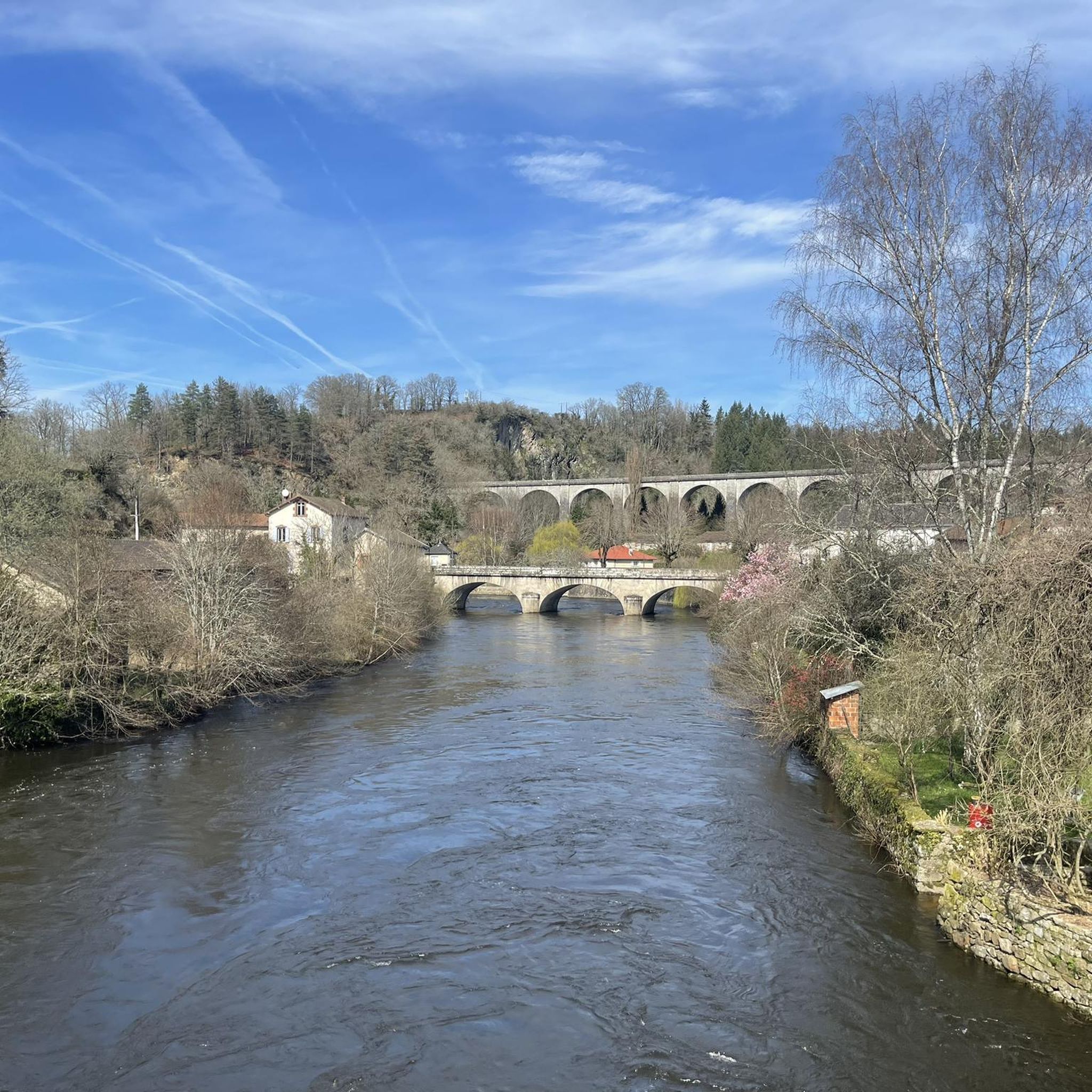
This medieval bridge dates from 1262. From its arches, there is a magnificent view of the city's other medieval bridge and the viaduct.
2
0

Located in the town of Aureil, near the church. It looks like a farmhouse, except for its pointed portal that sets it apart. A beautiful basin and well on the side, a property on the back, which must have been a tenancy or easement. The scaffolding suggests maintenance work. https://grandmont.pagesperso-orange.fr/Aureil.htm
0
0
Remarkable work, wonder if the park is open to the public.
1
0
We pass easily without seeing it. Discreet, with two legs and a cap in old stones, it is still in place and maintained. We can imagine the life around, when water was an element of life.
1
1
We pass easily without seeing it. Just a holey "ch'tite" with a few stones around it. It seems to date. It is discreet, but always in place and maintained.
1
1
In front of the forecourt of the town hall of Saint-Léonard-de-Noblat, they welcome the public. Their presence, man or animal, is evocative. Don't know who made them, they are impressively real. Respect for the prowess of the artist.
1
0
Frequently Asked Questions
How many hiking trails are available around La Geneytouse?
There are over 70 hiking trails around La Geneytouse, offering a wide range of options for different skill levels. The region is known for its varied terrain, including woodlands, river valleys, and gentle hills.
Are there easy hiking trails suitable for beginners or families in La Geneytouse?
Yes, La Geneytouse offers many easy trails perfect for beginners or families. About a third of the routes are rated as easy. A good option is the Vienne and Tard Loop, which is 2.8 miles (4.4 km) long and follows the banks of the Vienne and Tard rivers.
What is the best season for hiking in La Geneytouse?
The best seasons for hiking in La Geneytouse are typically spring and autumn, when the weather is mild and the natural scenery is vibrant with wildflowers or autumn colors. Summer also offers pleasant conditions, especially for shaded woodland paths. Winters can be cold but still offer opportunities for crisp walks.
Are there any challenging hikes around La Geneytouse?
While most trails in La Geneytouse are easy to moderate, there is at least one route classified as difficult for those seeking a greater challenge. The region's terrain generally features gentle hills, so challenging routes will likely involve longer distances or steeper, more sustained climbs.
Can I find circular walks in La Geneytouse?
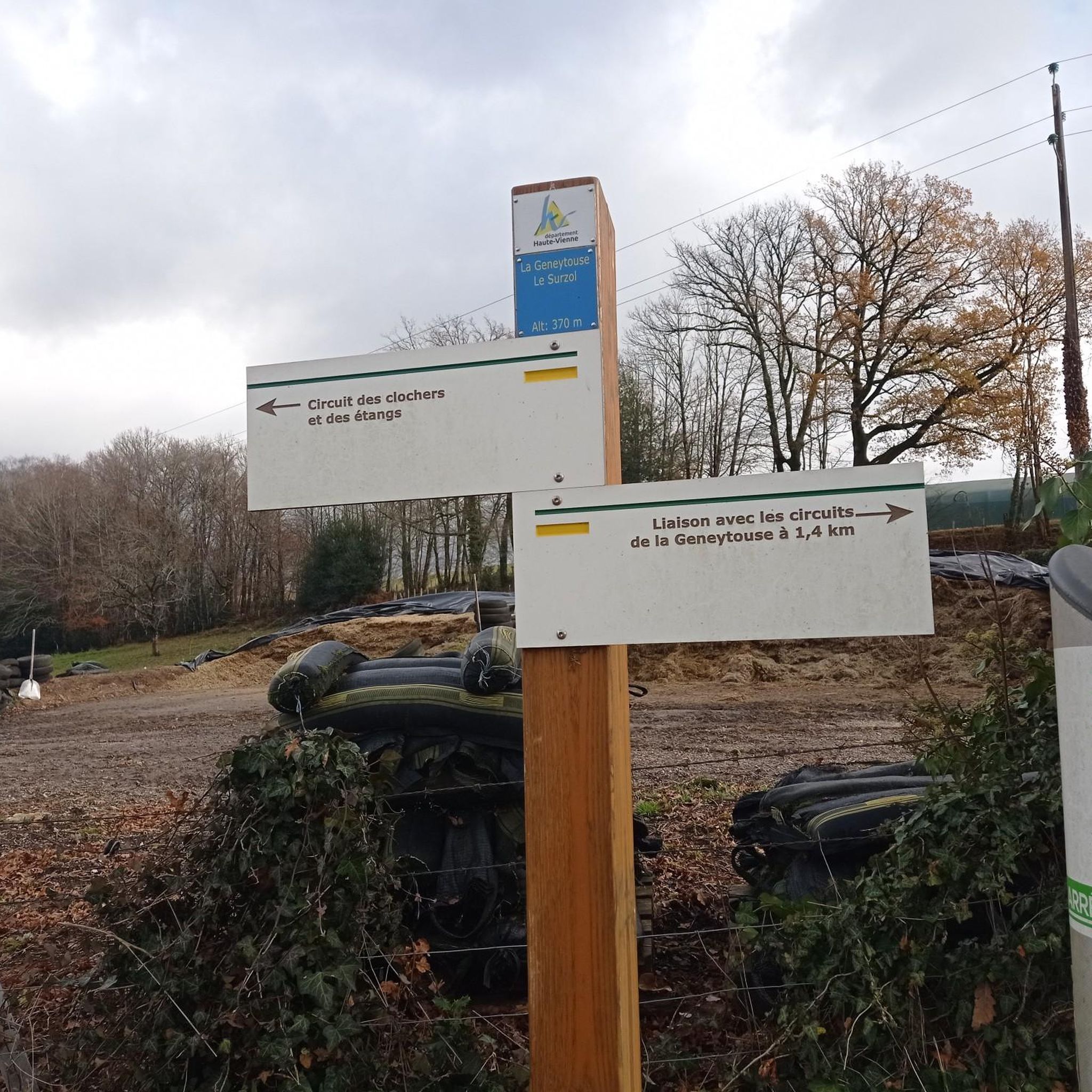
Yes, many of the trails around La Geneytouse are circular, allowing you to start and end at the same point. For example, the Circuit of the Steeples and Ponds is a moderate 8.3-mile (13.3 km) loop that explores the local countryside.
Are dogs allowed on the hiking trails in La Geneytouse?
Generally, dogs are welcome on hiking trails in La Geneytouse, especially in the natural and woodland areas. It's always recommended to keep them on a leash, particularly near agricultural land or wildlife, and to clean up after them. Specific rules might apply in certain protected areas, so check local signage.
What kind of natural scenery can I expect to see while hiking in La Geneytouse?
Hiking in La Geneytouse offers diverse natural scenery, including dense woodlands, rolling hills, and picturesque river valleys. Trails often traverse agricultural areas and natural spaces, providing views of waterways and connecting charming small villages.
Are there any interesting landmarks or attractions to see along the hiking routes?
Yes, several routes pass by notable landmarks. For instance, the Saint-Léonard lock – Noblat Medieval Bridge loop from Saint-Léonard de Noblat takes you through riverine landscapes and historical sites, including the Saint-Léonard lock and the Noblat Medieval Bridge. The nearby town of Saint-Léonard-de-Noblat is also a highlight.
What do other hikers enjoy most about the trails in La Geneytouse?
The trails in La Geneytouse are highly rated by the komoot community, with an average score of 4.4 stars from over 150 reviews. Hikers often praise the quiet woodlands, the varied scenery along river valleys, and the well-maintained paths that connect charming villages.
Are there any long day hikes suitable for experienced hikers?
Yes, for experienced hikers looking for longer day trips, routes like the Chenour Fountain – Noblat Medieval Bridge loop from Saint-Léonard de Noblat offer a substantial challenge. This moderate route covers about 9.4 miles (15.1 km) and features significant elevation changes, providing a rewarding experience.
Are there trails that pass by water features like rivers or ponds?
Many trails in La Geneytouse follow waterways or pass by natural ponds. The region's landscape is characterized by river valleys, and routes often incorporate these features. The Circuit of the Steeples and Ponds is a prime example, exploring the countryside and passing by various natural ponds.
Is parking generally available at trailheads in La Geneytouse?
While specific parking information varies by trailhead, many routes in La Geneytouse that start near villages or popular access points typically have designated parking areas. It's advisable to check the route details on komoot for specific parking recommendations for your chosen hike.
Most popular routes around La Geneytouse
Most popular attractions around La Geneytouse

Get inspired with the komoot mobile app


Explore more
Browse the best Hikes in other regions.
