The best walks and hikes around Balbigny
4.4
(149)
681
hikers
78
hikes
Hiking around Balbigny offers diverse landscapes, characterized by the Loire River and its banks, the expansive Forez Plain, and the nearby Loire Gorge. The region features a mix of flat riverine paths, agricultural fields, and elevated routes that incorporate impressive viaducts. This varied terrain provides opportunities for different types of walking experiences, from gentle riverside strolls to more challenging loops with moderate elevation gains.
Best hiking trails around Balbigny
- The most popular hiking route is Viaduc de Balbigny loop from…
Last updated: August 27, 2026
3.5
(6)
12
hikers
12.0km
03:22
220m
220m
Moderate hike. Good fitness required. Easily-accessible paths. Suitable for all skill levels.
3.3
(4)
13
hikers
Moderate hike. Good fitness required. Easily-accessible paths. Suitable for all skill levels.

Sign up for free
5
hikers
7.27km
02:07
200m
200m
Moderate hike. Good fitness required. Easily-accessible paths. Suitable for all skill levels.
4.5
(2)
4
hikers
11.0km
03:03
200m
200m
Moderate hike. Good fitness required. Easily-accessible paths. Suitable for all skill levels.
7
hikers
13.0km
03:49
370m
370m
Moderate hike. Good fitness required. Easily-accessible paths. Suitable for all skill levels.
Get access to more routes and recommendations from other explorers.
Sign up for free
Already have an account?
Our route recommendations are based on thousands of hikes, rides, and runs completed by other people on komoot.
Start today with a free account
Your next adventure awaits.
Login or Signup

Other adventures around Balbigny

Tips from the Community

At the church you can take a wonderful rest and even borrow books to read.
0
0

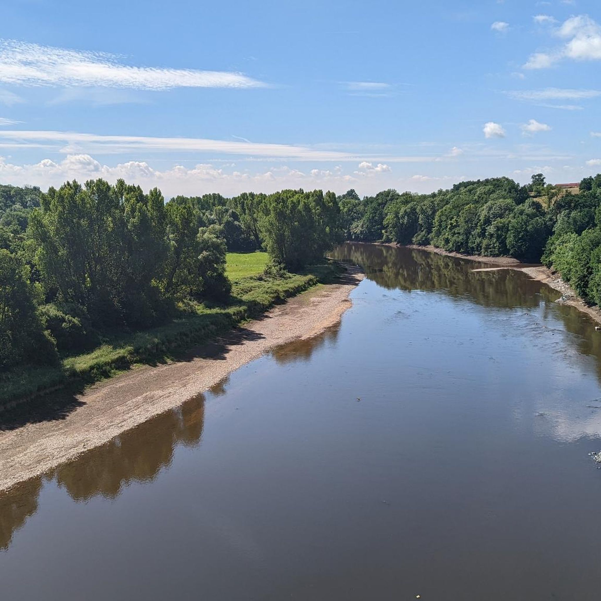
The view from a bridge over the Loire. It is a quiet road on the Balbigny/Pinay cycle path.
1
0

The Loire has dug itself deep here. Good road to drive
0
0

Fortified medieval village. You can still see three emblematic fortified towers at the gates of the village: the Magna Porta Tower, the Egg Tower and the Cotton Tower.
1
0
This medieval village is located on the edge of the Forez plain. It is a Cluniac site where you can still see beautiful remains, including old ramparts. A real journey through time!
1
1
The Pinay bridge is built on the old dyke of the same name, which has now disappeared following the construction of the Villerest dam. It offers a lovely view of the Loire, with shaded picnic tables and games for children, near the bridge.
1
0

Frequently Asked Questions
How many hiking trails are available around Balbigny?
Balbigny offers a wide selection of hiking trails, with over 60 routes recorded on komoot. These include 16 easy, 39 moderate, and 12 difficult trails, catering to various fitness levels and preferences.
What types of landscapes can I expect to see while hiking in Balbigny?
Hiking in Balbigny provides a diverse range of landscapes. You'll find picturesque paths along the Loire River and its banks, expansive views across the agricultural fields of the Forez Plain, and routes that traverse the nearby Loire Gorge. Many trails also feature impressive viaducts, offering elevated perspectives of the surrounding countryside.
Are there any easy, family-friendly hikes in Balbigny?
Yes, Balbigny has several easy trails suitable for families. The "Sentier de la Gravière" is a 7 km loop trail in Balbigny, known for its rural atmosphere and views of the Loire River and Forez plain. It's an easy walk, taking approximately 1 hour and 30 minutes, with interpretation panels along the way. You can find more details about this trail on Loire Tourisme.
What are some notable landmarks or attractions to see on a hike in Balbigny?
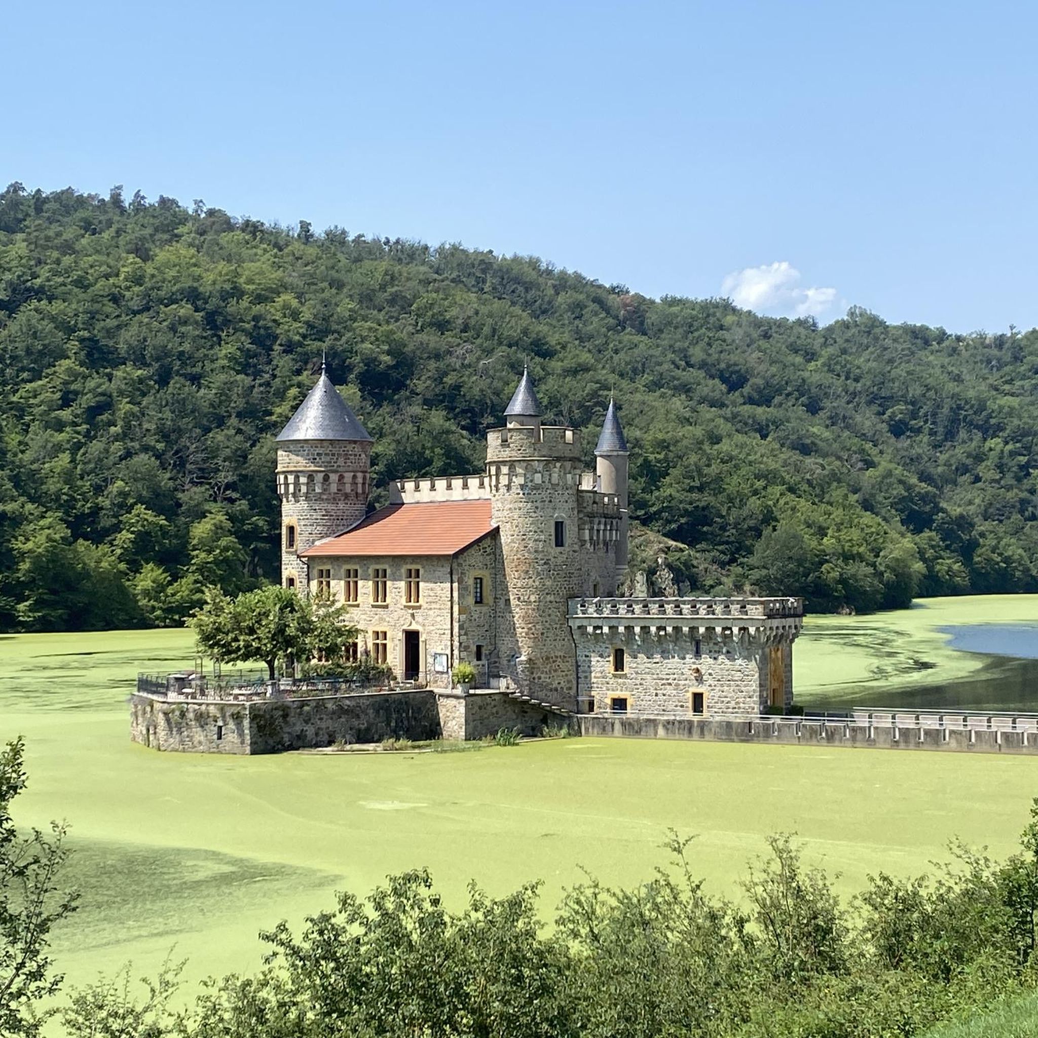
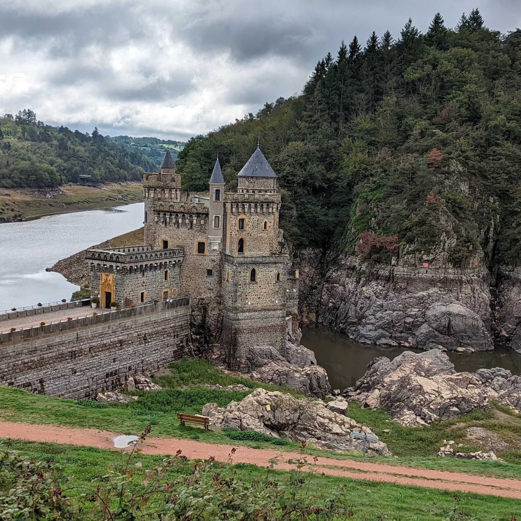
Many hiking routes in Balbigny pass by significant landmarks. You can explore the 17th-century La Roche Castle, uniquely situated in the heart of the Loire River. Other points of interest include the charming medieval village of Pouilly-lès-Feurs, the impressive Chessieux Viaduct, and the Pinay Bridge over the Loire.
Are there any circular hiking routes around Balbigny?
Yes, many of the trails in Balbigny are circular routes. For example, the Pouilly-lès-Feurs loop from Pouilly-lès-Feurs is a moderate 13 km trail that takes around 3 hours 49 minutes. Another option is the Nèronde – Medieval village of Néronde loop from Néronde, a 7.3 km route often completed in about 2 hours 7 minutes.
What do other hikers say about the trails in Balbigny?
The hiking trails in Balbigny are highly regarded by the komoot community, holding an average rating of 4.4 stars from nearly 100 reviews. Over 500 hikers have used komoot to explore the varied terrain, often praising the scenic river views and the well-maintained paths.
Are there any trails that feature viaducts?
Yes, several trails in the Balbigny area incorporate impressive viaducts. The Viaduc de Balbigny – Chessieux Viaduct loop from Saint-Marcel-de-Félines is a moderate 15.9 km route that offers views of both the Balbigny and Chessieux viaducts. The Chessieux Viaduct, in particular, provides impressive views over the Loire.
What is the typical duration and difficulty of hikes in the region?
Hikes around Balbigny vary significantly. You can find easy paths suitable for walks up to 2 hours with minimal elevation gain, such as the "Sentier de la Gravière." Moderate routes, like the Viaduc de Balbigny loop from Pinay (12 km, 3h 22m), involve moderate elevation gains. For experienced hikers, there are more demanding treks up to 5 hours or more with significant elevation changes.
Can I hike along the Loire River banks?
Absolutely. The Loire River is a central feature of the region, and many trails run along its banks. These paths offer picturesque views and a calming ambiance, often being flat and accessible. The "Route des bords de Loire" is a notable option for exploring the riverbanks, suitable for walking or cycling, with numerous picnic spots. More information can be found on Loire Tourisme.
Are there any historical sites accessible via hiking trails?
Yes, the region's history is woven into its landscapes. Beyond the prominent La Roche Castle, you can find routes that lead to or pass by charming historical locations. The medieval village of Pouilly-lès-Feurs, a Cluniac site with old ramparts, is an example of a historical attraction that can be explored on foot, such as with the Pouilly-lès-Feurs loop from Pouilly-lès-Feurs.
What is the best season for hiking in Balbigny?
Balbigny offers enjoyable hiking experiences throughout much of the year. Spring and autumn generally provide pleasant temperatures and beautiful scenery, with blooming flowers or vibrant fall foliage. Summer is also popular, especially for riverside walks, though it can be warmer. Winter hiking is possible, but trails might be muddy or require appropriate gear depending on conditions.
Most popular attractions around Balbigny

Get inspired with the komoot mobile app


Explore more
Browse the best Hikes in other regions.
