The best walks and hikes around Sainte-Foy-Saint-Sulpice
4.4
(151)
623
hikers
91
hikes
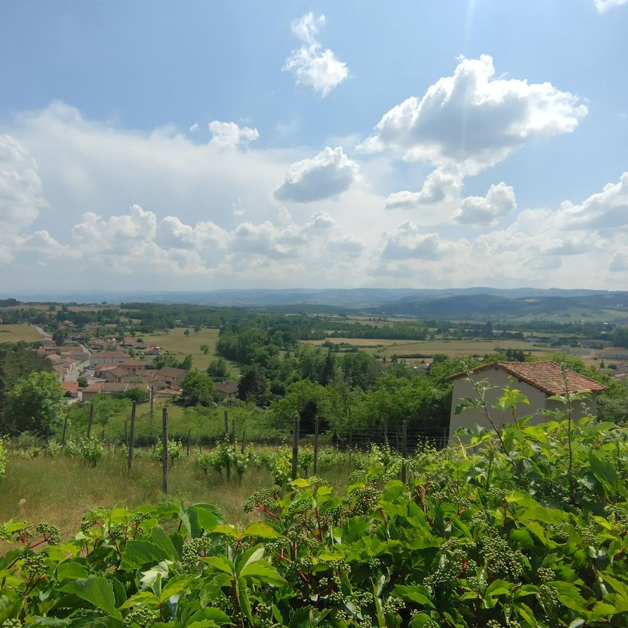
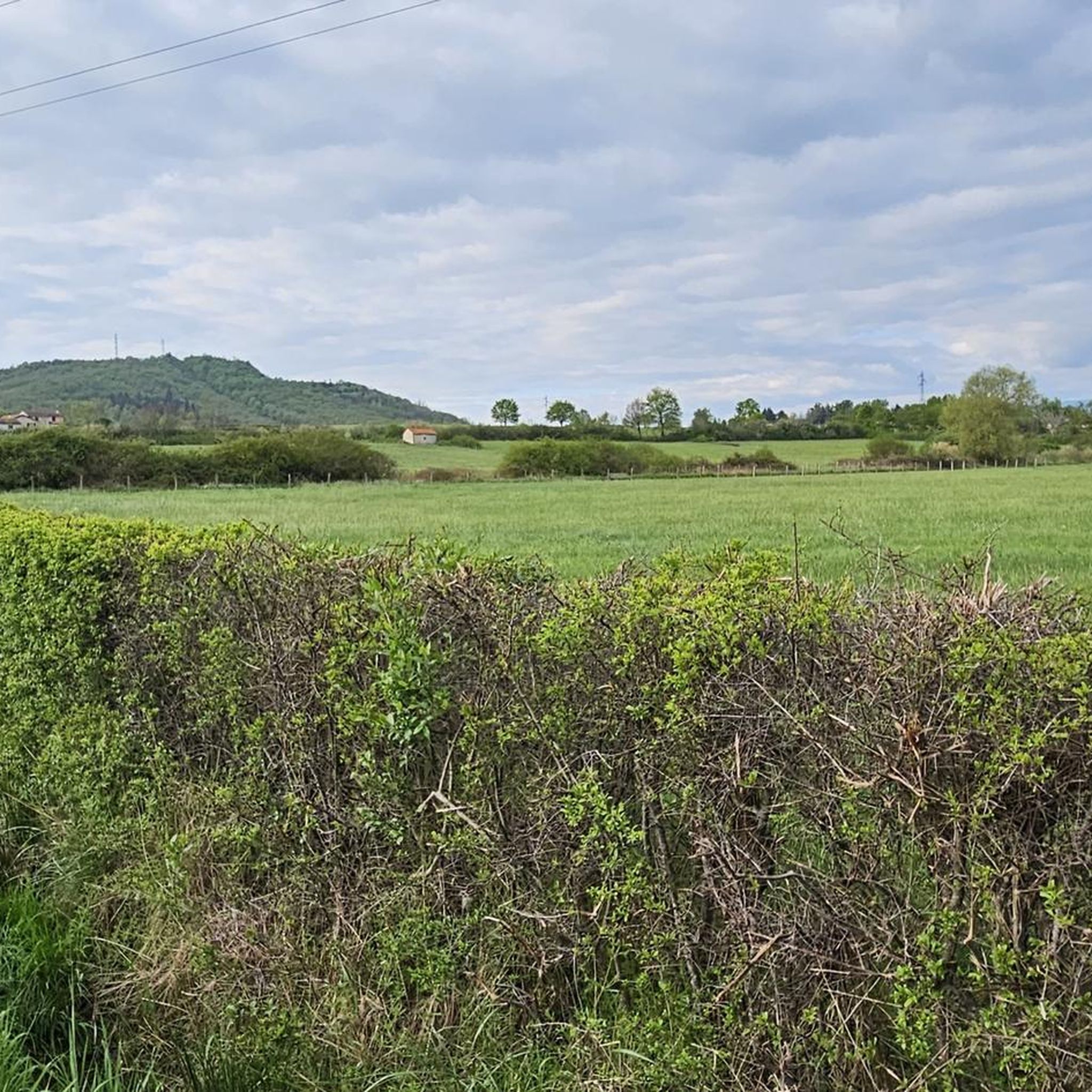
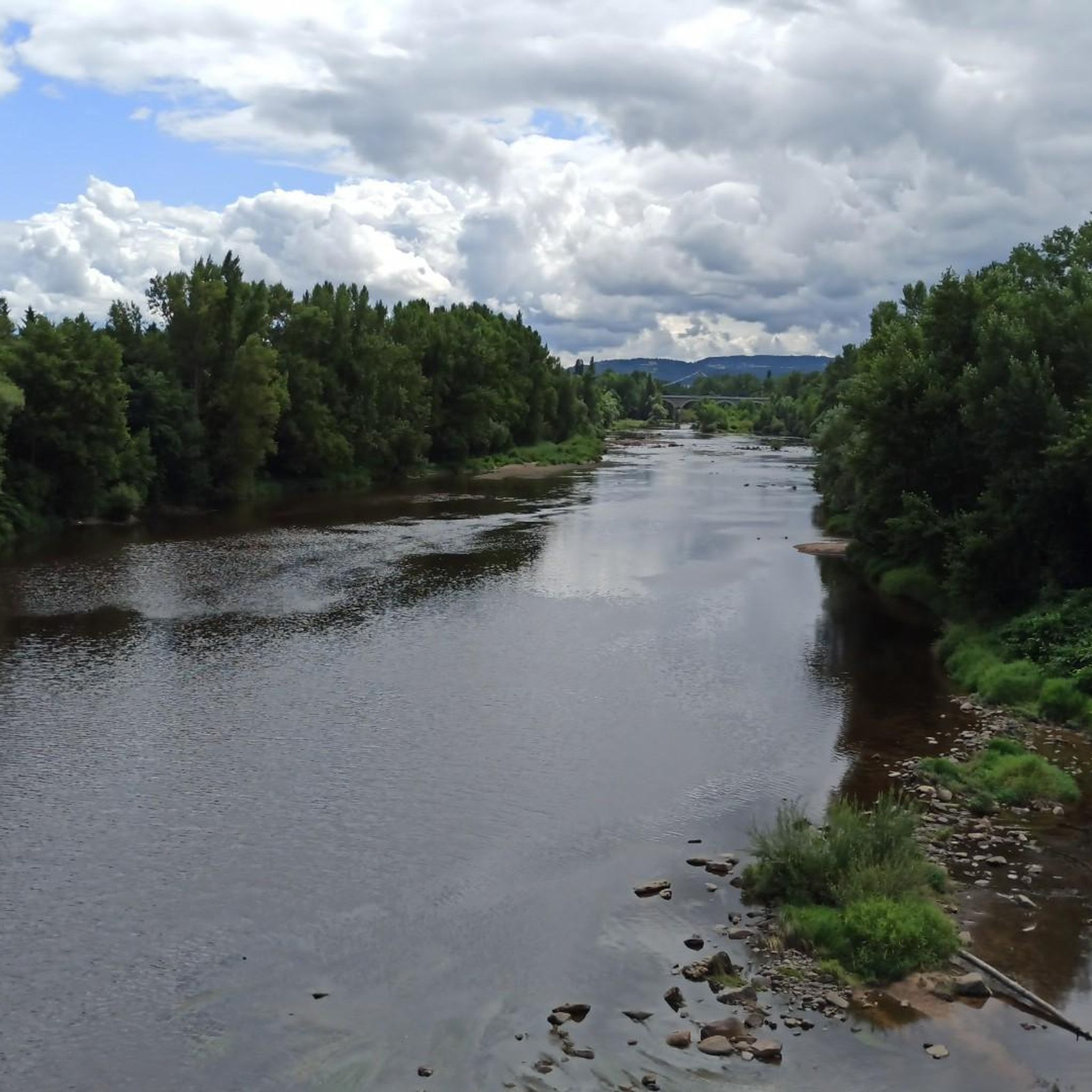
Hiking around Sainte-Foy-Saint-Sulpice offers diverse landscapes, including vast plains, dense forests, and rolling hills. The region is characterized by numerous ponds and lakes, some with shaded dykes that form part of the hiking trails. The longest meander of the Loire river provides picturesque riverside walks and scenic viewpoints, such as from the Pêt de l'Âne. Elevated points offer panoramic views of the Monts du Lyonnais, Monts du Pilat, and Monts du Forez.
Best hiking trails around Sainte-Foy-Saint-Sulpice
- The most popular…
Last updated: May 15, 2026
4.4
(7)
16
hikers
5.49km
01:25
30m
30m
Easy hike. Great for any fitness level. Easily-accessible paths. Suitable for all skill levels.
4.4
(7)
16
hikers
7.14km
01:51
40m
40m
Easy hike. Great for any fitness level. Easily-accessible paths. Suitable for all skill levels.

Sign up for free
4.6
(7)
14
hikers
12.3km
03:09
60m
60m
Moderate hike. Good fitness required. Easily-accessible paths. Suitable for all skill levels.
5.0
(1)
10
hikers
13.1km
03:24
80m
80m
Moderate hike. Good fitness required. Easily-accessible paths. Suitable for all skill levels.
5.0
(1)
6
hikers
6.75km
01:44
30m
30m
Easy hike. Great for any fitness level. Easily-accessible paths. Suitable for all skill levels.
Get access to more routes and recommendations from other explorers.
Sign up for free
Already have an account?
Our route recommendations are based on thousands of hikes, rides, and runs completed by other people on komoot.
Start today with a free account
Your next adventure awaits.
Login or Signup


Tips from the Community


Cozy break hut in the center of Arthur.
5
0
Frequently Asked Questions
How many hiking trails are available in Sainte-Foy-Saint-Sulpice?
There are over 90 hiking trails in the Sainte-Foy-Saint-Sulpice area, offering a wide range of options for different preferences and skill levels.
What kind of landscapes can I expect to see while hiking in Sainte-Foy-Saint-Sulpice?
The region offers diverse landscapes, including vast plains, dense forests, and rolling hills. You'll encounter numerous ponds and lakes, often with shaded dykes that form part of the trails. The longest meander of the Loire river provides picturesque riverside walks and scenic viewpoints, such as from the Pêt de l'Âne. Elevated points offer panoramic views of the Monts du Lyonnais, Monts du Pilat, and Monts du Forez.
Are there any easy hiking trails suitable for beginners or casual walkers?
Yes, the area features 27 easy trails. A good option is the Hiking loop from Loire, an easy 5.5 km trail that takes about 1 hour 25 minutes, offering pleasant views along the river. Another easy choice is the Bench With View of the Pond loop from Arthun, which is 7.1 km and explores the characteristic ponds of the region.
What are some notable landmarks or attractions I can see on a hike?
Hikers can explore various points of interest. The "La Terrasse du Forez" itinerary leads to the Saint-Sulpice chapel and the Sainte-Marguerite chapel. You might also encounter the Château de Goutelas or the Tombeau de Bélizar. For historical sites, consider visiting La Roche Castle or La Bâtie d'Urfé Castle, both nearby. The Pinay Bridge over the Loire is another scenic spot.
Are there any circular walks in the Sainte-Foy-Saint-Sulpice area?
Many trails in the region are circular. For example, the "La Terrasse du Forez" is a 9.5 km loop starting from the village square. The "Circuit des Crêtes" near Saint-Cyr-de-Valorges is another loop that traverses ridges and offers open sections and forested paths. The Hiking loop from Saint-Étienne-le-Molard is a moderate 12.3 km circular route through varied terrain.
What is the best time of year to go hiking in Sainte-Foy-Saint-Sulpice?
The region is suitable for hiking all year round, with trails like "La Terrasse du Forez" being accessible throughout the seasons. The presence of shaded paths, especially along pond dykes, makes it pleasant even during warmer months. For panoramic views, clear days are ideal, particularly when looking towards the Monts du Lyonnais, Pilat, and Forez.
Are there opportunities for wildlife spotting during hikes?
Yes, the numerous ponds and lakes in the area are home to various birds, such as swans and ducks, offering good opportunities for observation. The diverse natural environments, including forests and riverside areas, also support other local wildlife.
What do other hikers say about the trails in Sainte-Foy-Saint-Sulpice?
The routes in Sainte-Foy-Saint-Sulpice are highly rated by the komoot community, with an average score of 4.4 stars from more than 100 reviews. Hikers often praise the varied terrain, the scenic views of the Loire, and the peaceful atmosphere of the ponds and forests.
Are there any moderate or challenging hikes for more experienced hikers?
Yes, the region offers 47 moderate and 16 difficult trails. The Église Poncins loop from Poncins is a moderate 13.1 km route, while the Château de Cleppé loop from Cleppé is another moderate option at 10.7 km, featuring more elevation gain.
Can I find trails that offer panoramic views?
Absolutely. From various elevated points, hikers can enjoy panoramic views of the surrounding natural grandeur, including the Monts du Lyonnais to the east, the Monts du Pilat to the south, and the Monts du Forez to the west. The Pêt de l'Âne, accessible via the "Boucle du Bois de Cierve par le Pêt de l'Âne" trail, provides a magnificent vantage point over the Loire's longest meander.
Are there any specific trails known for being particularly shaded?
The "Marche des étangs" (Ponds Walk) is particularly noted for its shaded paths along the pond dykes, offering a pleasant walk with varied scenery and minimal asphalt sections. The "Lac de Saint-Cyr" (more accurately an étang) also offers a pleasant shaded spot for a break during longer circuits.
Most popular routes around Sainte-Foy-Saint-Sulpice
Most popular attractions around Sainte-Foy-Saint-Sulpice

Get inspired with the komoot mobile app


Explore more
Browse the best Hikes in other regions.
