The best running trails around Gouttières
4.5
(5)
170
runners
31
runs
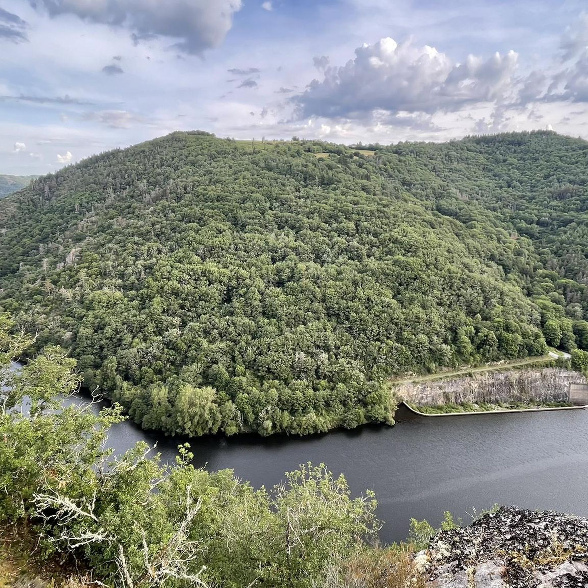
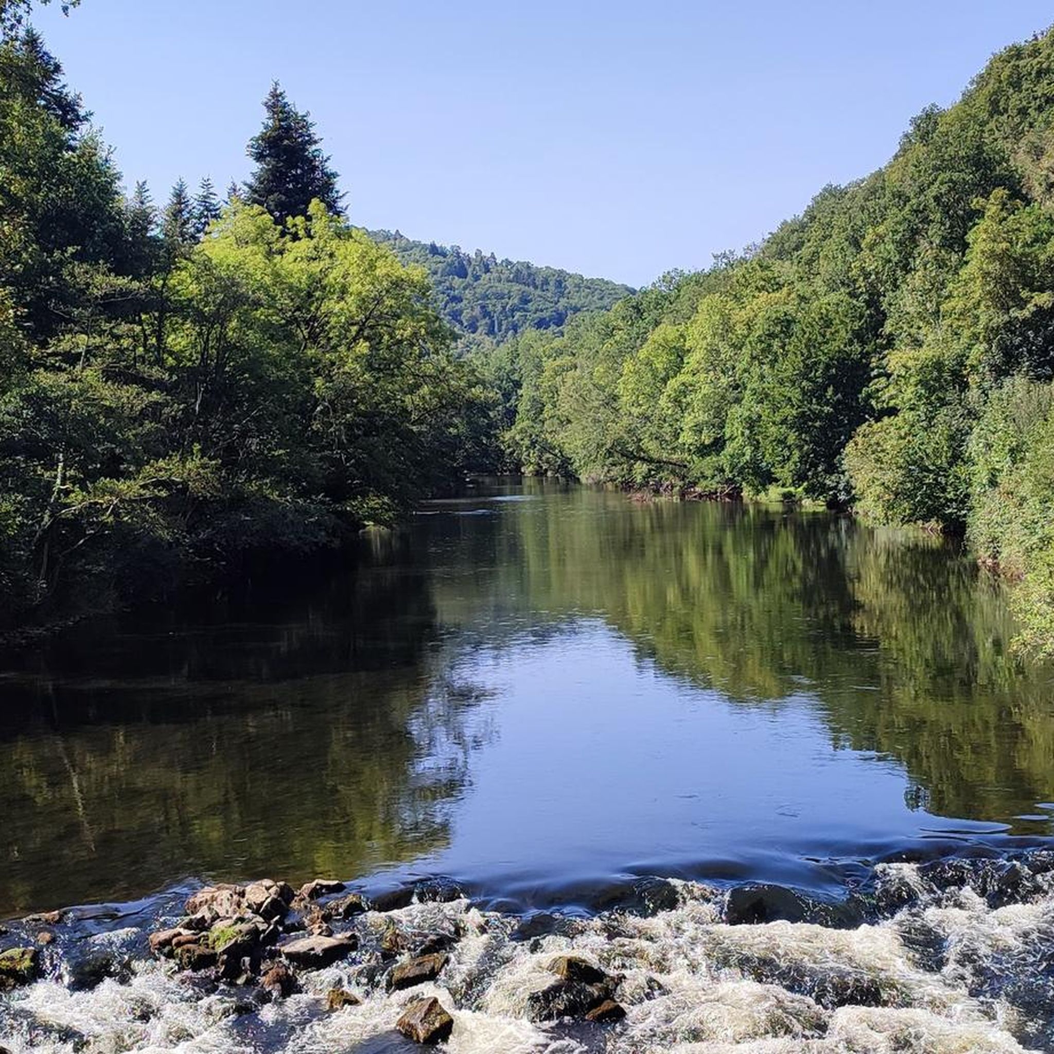
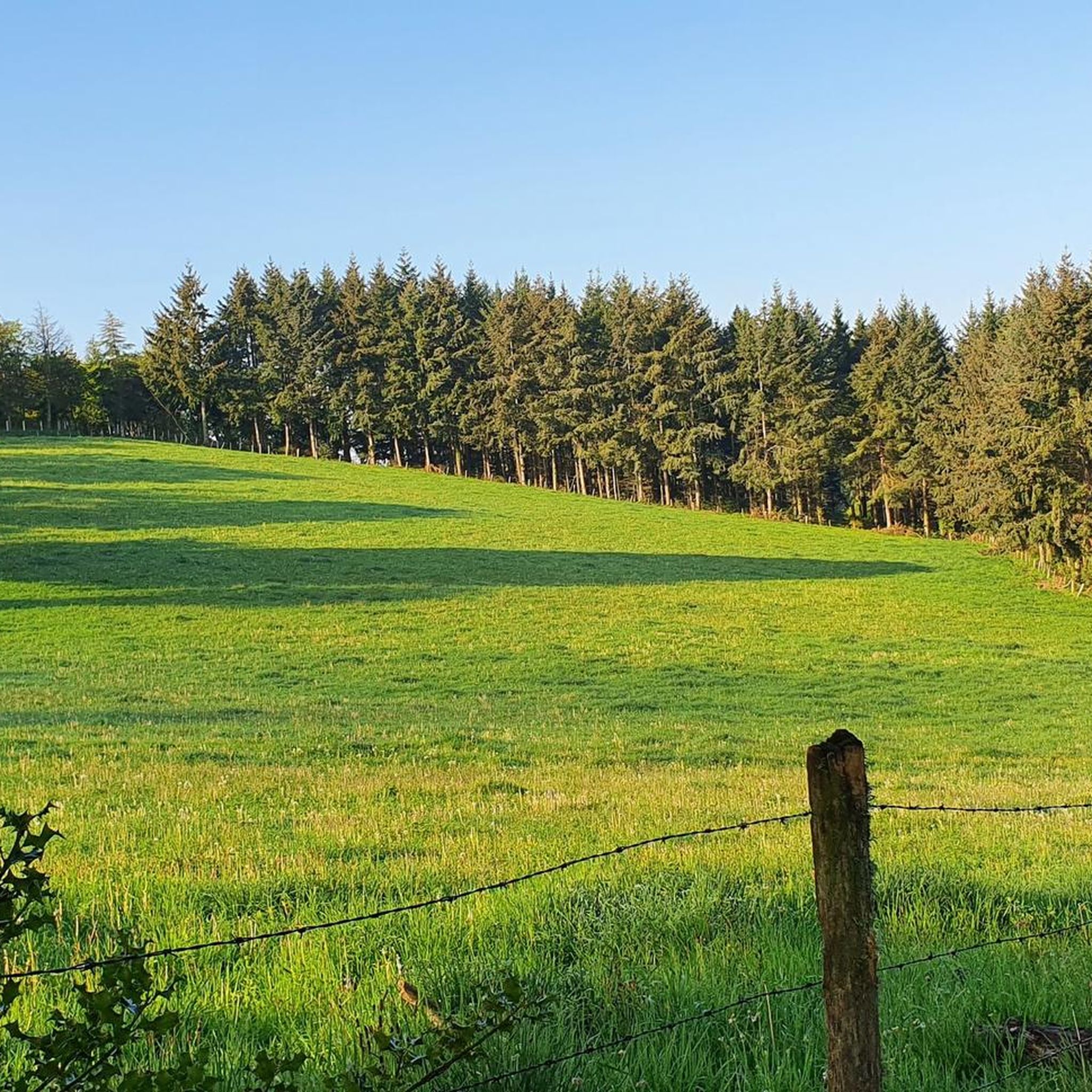
Jogging around Gouttières offers routes through a rural landscape situated between 600 and 700 meters above sea level in the Combrailles region. The terrain includes approximately 30% wooded areas and is characterized by several small streams that feed into the Sioule River. This varied elevation and natural environment provide diverse settings for running, from forest paths to routes alongside water features.
Best jogging routes around Gouttières
- The most popular jogging route is Running loop from Le Fal, a 4.9…
Last updated: October 18, 2026
5
runners
11.3km
01:15
160m
160m
Moderate run. Good fitness required. Mostly paved surfaces. Suitable for all skill levels.
5.0
(2)
5
runners
7.96km
00:51
100m
100m
Moderate run. Good fitness required. Mostly paved surfaces. Suitable for all skill levels.

4
runners
7.41km
00:50
120m
110m
Moderate run. Good fitness required. Mostly paved surfaces. Suitable for all skill levels.
3
runners
6.70km
00:43
120m
120m
Moderate run. Good fitness required. Mostly paved surfaces. Suitable for all skill levels.
3
runners
7.24km
00:50
120m
130m
Moderate run. Good fitness required. Mostly paved surfaces. Suitable for all skill levels.
Get access to more routes and recommendations from other explorers.
Already have an account?
Our route recommendations are based on thousands of hikes, rides, and runs completed by other people on komoot.
Start today with a free account
Your next adventure awaits.
Frequently Asked Questions
What kind of terrain can I expect on running routes around Gouttières?
The running routes in Gouttières are characterized by a varied terrain, situated between 600 and 700 meters above sea level in the Combrailles region. You'll find approximately 30% wooded areas and several small streams that feed into the Sioule River, offering a mix of forest paths and routes alongside water features. This provides diverse settings for runners.
How many running routes are available in the Gouttières area?
There are over 30 dedicated running routes around Gouttières, catering to various preferences and fitness levels. These include options from easy to more challenging trails.
Are there any easy or beginner-friendly running routes in Gouttières?
Yes, Gouttières offers several routes suitable for beginners or those looking for an easier run. There are 3 routes classified as easy, providing gentle paths through the scenic landscape.
What are some notable landmarks or attractions I might see while running in Gouttières?
While running in the Gouttières area, you might encounter several interesting points. The region is home to the ruins of Château-Rocher, a medieval castle offering historical interest. Nature lovers can also explore waterfalls like the Cascade of the 3 Pools of Chambonnet or the Cascade de la Tine, both nestled within forests and offering picturesque views.
Are there any circular running routes in Gouttières?
Yes, many of the running routes in Gouttières are designed as loops. For example, the Running loop from Gouttières is a popular 4.2-mile trail that takes you through the local countryside, starting and ending in the village.
What do other runners enjoy most about jogging in Gouttières?
The running routes in Gouttières are highly rated by the komoot community, with an average score of 4.3 stars from 3 reviews. Runners often praise the varied terrain, including wooded areas and paths alongside streams, which provide a beautiful and engaging environment for outdoor activity.
Are there running routes that pass by water features or lakes?
Absolutely. The region is characterized by five small water streams that feed into the Sioule River. A great option is the Étang du Cheix loop from Muraton, a moderate 4.6-mile path that winds around a scenic pond, offering lovely waterside views.
Can I find running routes with good viewpoints in the area?
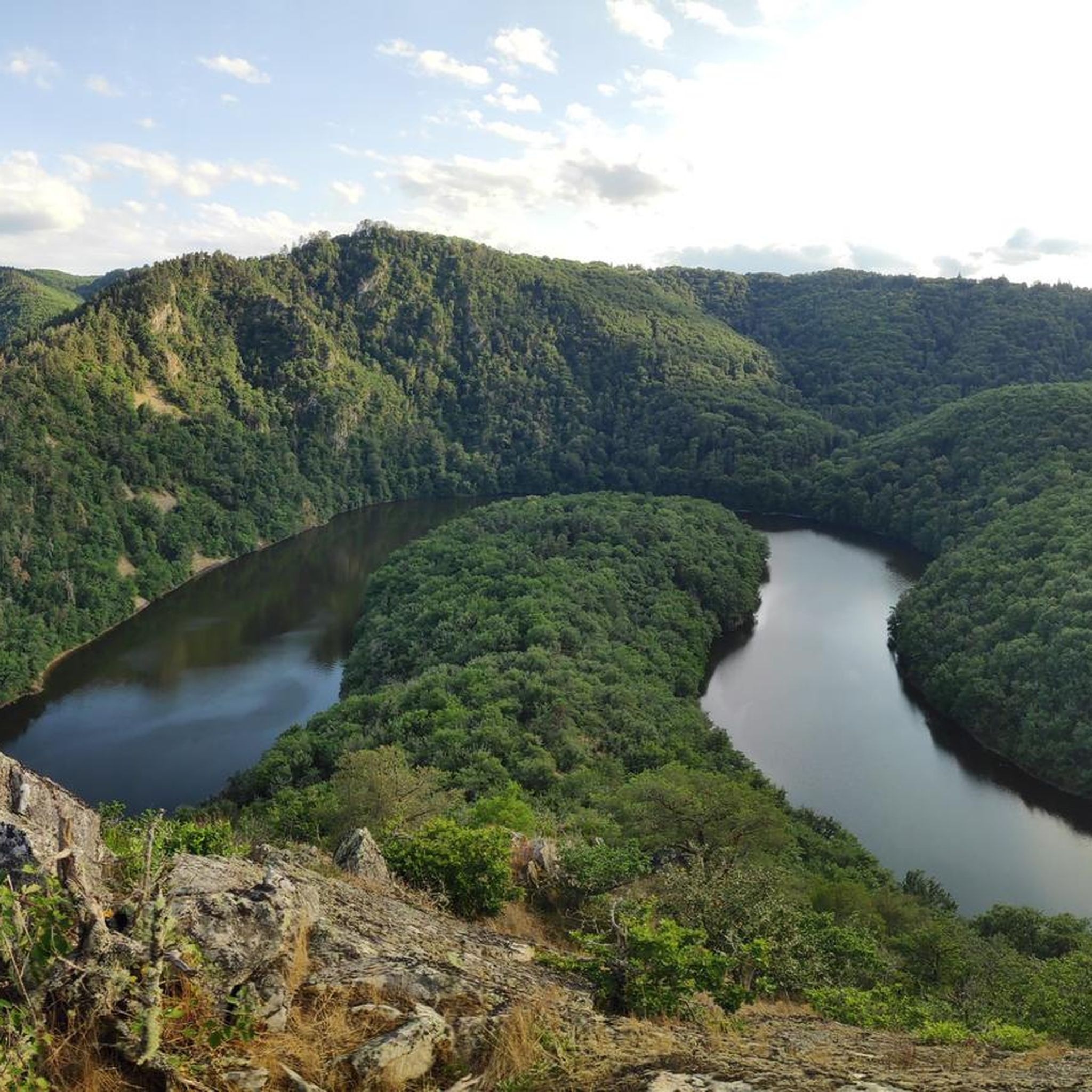
Yes, the varied elevation of Gouttières, situated between 600 and 700 meters above sea level, provides opportunities for scenic views. You can find routes that lead to or pass by viewpoints, such as the Queuille Viewpoint, offering expansive vistas of the surrounding landscape.
Is there parking available near the trailheads for running routes?
Given the rural nature of Gouttières, parking is generally available in or near the villages where many routes begin. For specific routes, it's advisable to check the route details on komoot for designated parking areas or suitable roadside spots.
What is the best time of year for running in Gouttières?
The natural landscape of Gouttières, with its woods and streams, makes it suitable for running throughout much of the year. Spring and autumn offer pleasant temperatures and beautiful scenery with changing foliage. Summer can also be enjoyable, especially in the shaded wooded areas, while winter might offer a different, quieter experience, though conditions can vary.
Are there any running routes that start from nearby towns or villages?
Yes, several routes originate from surrounding communities. For instance, you can explore the Running loop from Saint-Gervais-d'Auvergne, which is a moderate 4.5-mile trail, or the The cascade loop from Saint-Priest-des-Champs, a 3.4-mile route.
Are the running routes in Gouttières suitable for trail running?
With approximately 30% wooded areas and varied elevation, Gouttières offers excellent conditions for trail running. The natural paths and diverse terrain provide a challenging and rewarding experience for those who enjoy off-road running.
Most popular attractions around Gouttières

Get inspired with the komoot mobile app


Explore more
Browse the best Running Trails & Routes in other regions.
