The best running trails around Agen-D'Aveyron
4.2
(270)
8,107
runners
429
runs
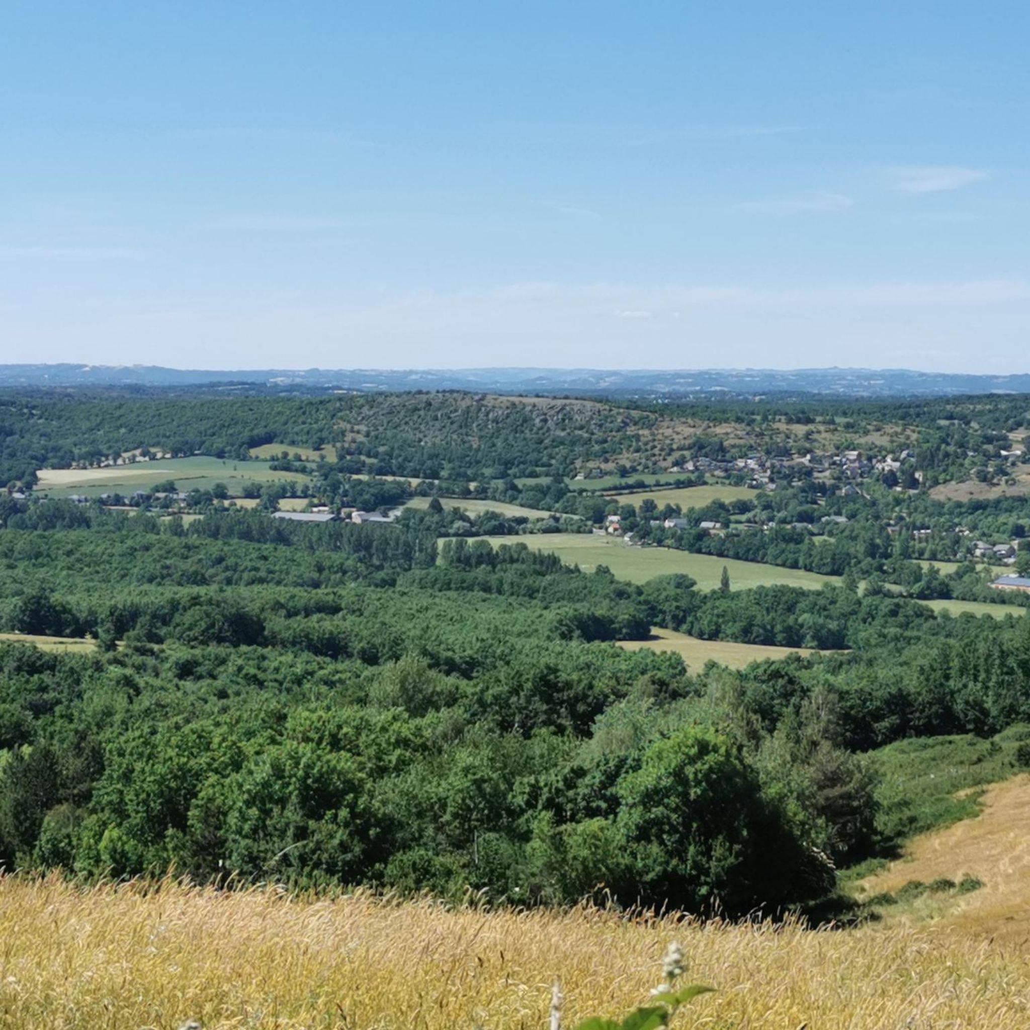
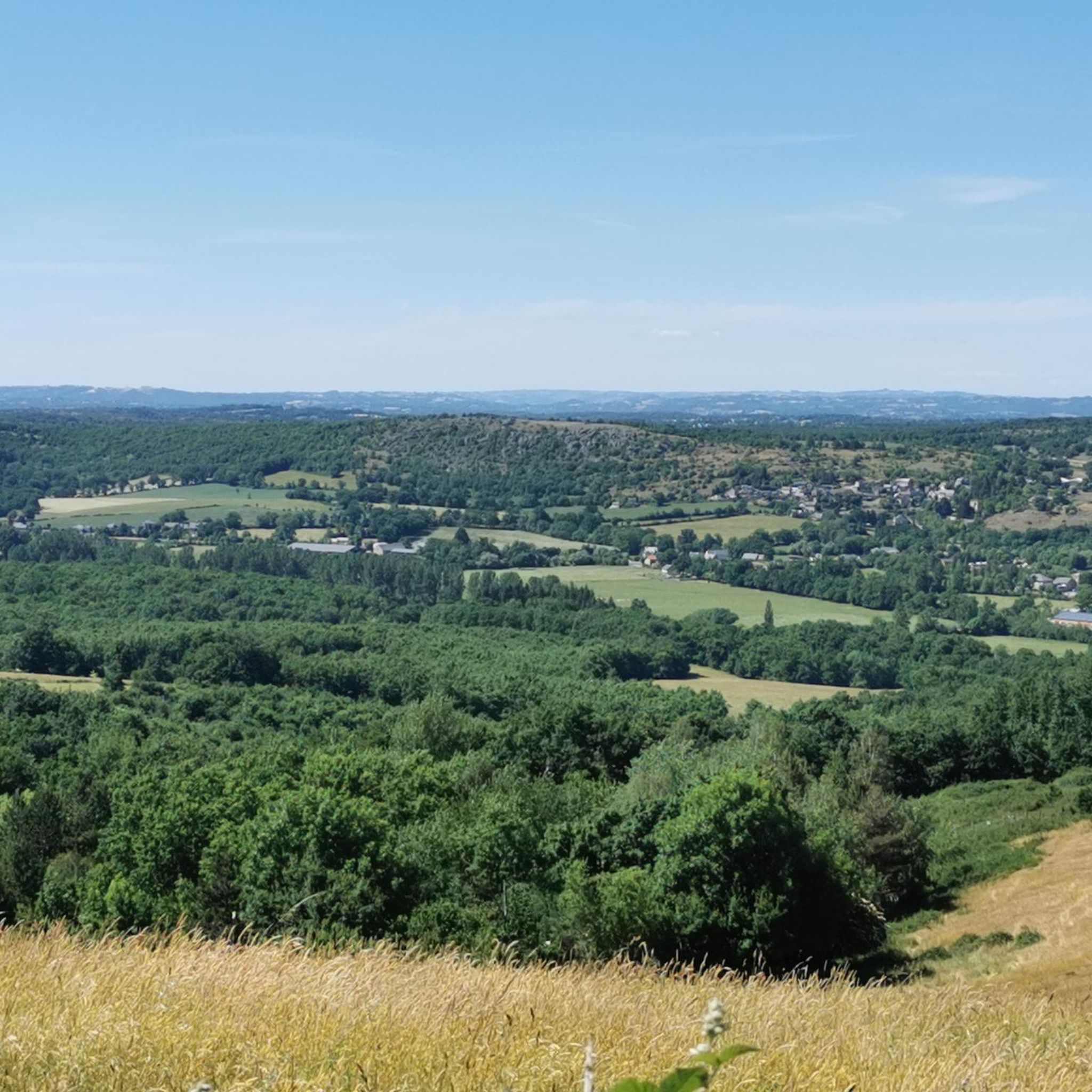
Jogging routes around Agen-d'Aveyron traverse a diverse landscape in the Aveyron department of the Occitanie region. The area features varied terrain, including the dense Forêt des Palanges, repurposed old railway lines, and scenic paths through the countryside. Runners can find routes ranging from relatively flat sections to more engaging trails with moderate ascents.
Best jogging routes around Agen-d'Aveyron
- The most popular jogging route is Grotte d'Agen loop from Agen-d'Aveyron, a 3.2 miles (5.1 km) trail that takes 33 minutes…
Last updated: October 13, 2026
4.7
(3)
11
runners
5.09km
00:33
90m
90m
Moderate run. Good fitness required. Mostly paved surfaces. Suitable for all skill levels.
9
runners
9.97km
01:04
130m
140m
Moderate run. Good fitness required. Mostly paved surfaces. Suitable for all skill levels.

4.0
(1)
10
runners
8.55km
01:01
210m
210m
Moderate run. Good fitness required. Mostly paved surfaces. Suitable for all skill levels.
5.0
(2)
10
runners
28.6km
03:25
560m
560m
Hard run. Very good fitness required. Mostly paved surfaces. Suitable for all skill levels.
4.0
(1)
6
runners
16.2km
01:47
340m
340m
Hard run. Very good fitness required. Mostly paved surfaces. Suitable for all skill levels.
Get access to more routes and recommendations from other explorers.
Already have an account?
Our route recommendations are based on thousands of hikes, rides, and runs completed by other people on komoot.
Start today with a free account
Your next adventure awaits.

Frequently Asked Questions
How many running routes are available around Agen-d'Aveyron?
There are over 420 running routes available around Agen-d'Aveyron, offering a wide range of options for all fitness levels. These include 27 easy, 298 moderate, and 96 difficult trails.
Are there any running routes that feature waterfalls in the Agen-d'Aveyron area?
Yes, the Forêt des Palanges, located on the outskirts of Agen-d'Aveyron, offers picturesque forest trails that lead to the large, two-tiered Palanges waterfall. This route provides an engaging challenge with a rewarding panoramic view from above the waterfall.
Are there any family-friendly jogging trails in Agen-d'Aveyron?
For families, the path to the Palanges waterfall in the Forêt des Palanges is a great option, offering a scenic and engaging walk that can also be enjoyed by joggers. Additionally, the repurposed "Voie Ferré" near Bertholène provides a relatively flat and dedicated multi-use path, ideal for an uninterrupted and easy run with children.
Can I find circular running loops in the region?
Yes, many of the routes around Agen-d'Aveyron are designed as circular loops. For example, the popular Grotte d'Agen loop from Agen-d'Aveyron and the Running loop from Agen-d'Aveyron are both excellent circular options for exploring the local terrain and countryside.
What kind of terrain can I expect on the jogging routes near Agen-d'Aveyron?
The region offers diverse terrain, from the dense Forêt des Palanges with its somewhat steep and stony paths, to the relatively flat and dedicated "Voie Ferré" (old railway line) near Bertholène. You'll also find scenic paths through the countryside and the typical Causses landscapes of the Causse de Sauveterre, providing options for various preferences and difficulty levels.
Are there any dedicated health or fitness trails for runners?
Yes, in the Gamasse Forest, close to the Lac de Bonnefon campsite, there is a health trail specifically designed for runners. It's a 1900-meter loop featuring 18 physical exercise stations, making it a popular choice for jogging enthusiasts looking for a structured workout.
What do other runners enjoy most about jogging in Agen-d'Aveyron?
The running routes in Agen-d'Aveyron are highly rated by the komoot community, with an average score of 4.3 stars from over 190 reviews. Reviewers often praise the varied terrain, from forest trails to old railway lines, and the beautiful natural landscapes that make each run a unique experience.
Are there any long-distance running options in the area?
For those seeking longer runs, the Combelles loop from Frayssinhes is a challenging 17.8-mile (28.6 km) trail that leads through the broader region, typically completed in about 3 hours 25 minutes. The Causse de Sauveterre and Aveyron Valley also offer open, natural terrain for extended exploration.
What are some notable natural attractions or landmarks I might see while running?
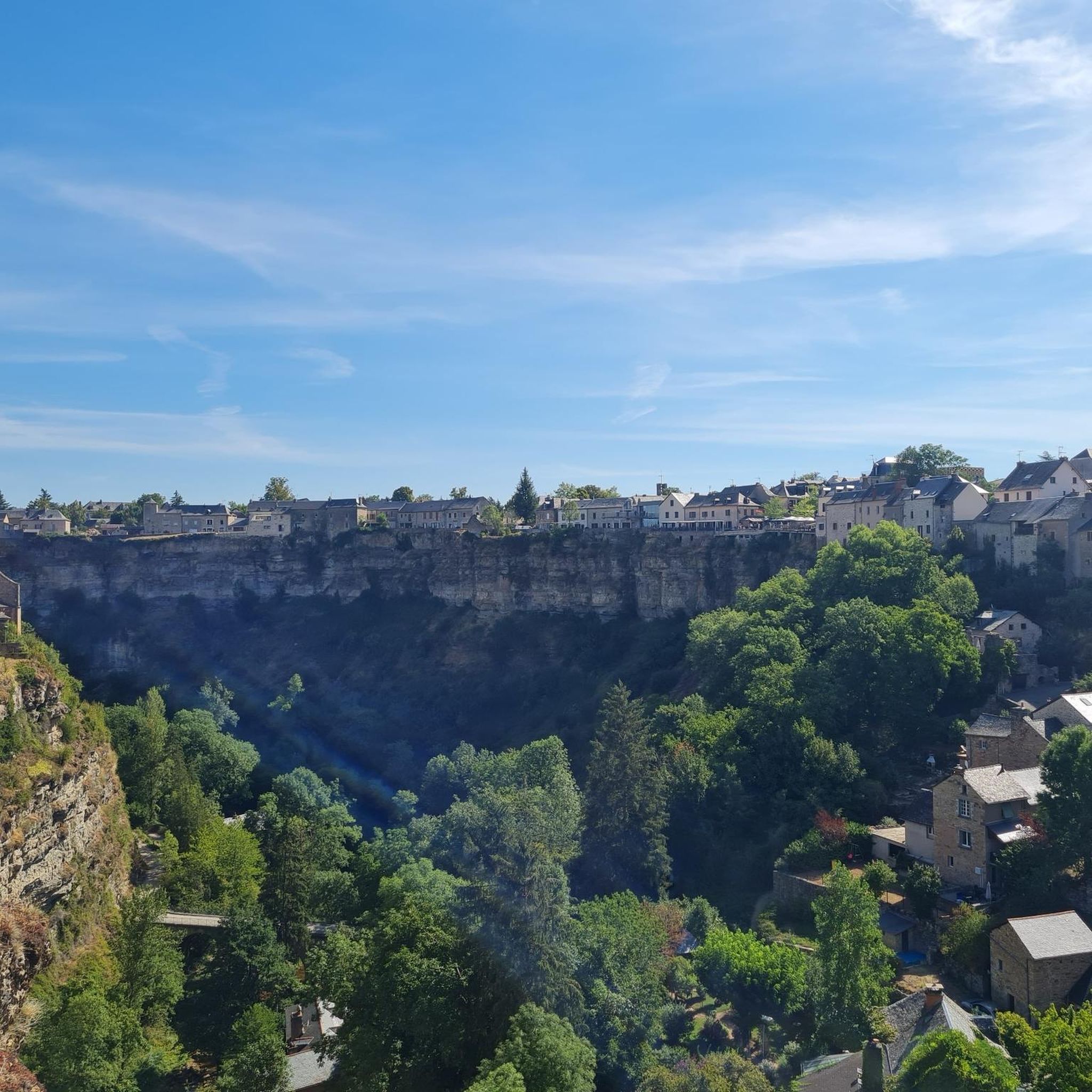
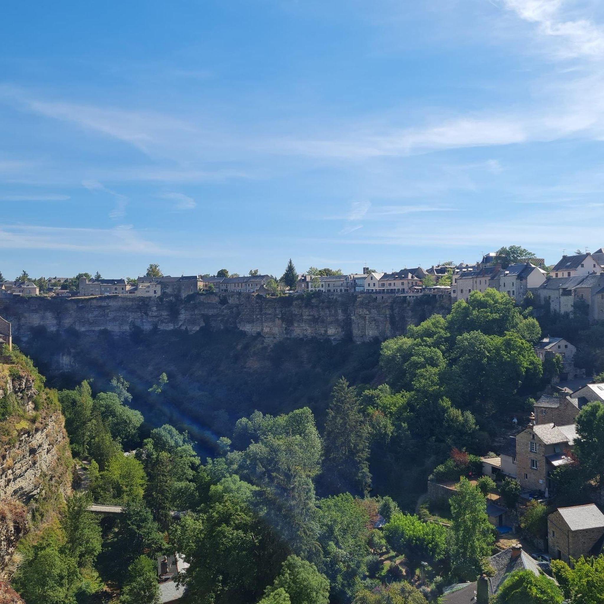
Beyond the Palanges waterfall, you might encounter the impressive Salles-la-Source Waterfall or the unique natural cirque of the Trou de Bozouls. While not directly on all running paths, these natural wonders are part of the region's charm. For other points of interest, consider exploring highlights like Rodez Cathedral or Lake La Brienne, Luc.
Are there any running routes accessible via public transport?
While specific public transport connections to trailheads can vary, many routes start directly from towns like Agen-d'Aveyron or La Loubière, making them potentially accessible depending on local bus services. It's advisable to check local transport schedules for the most up-to-date information on routes starting from these locations.
Where can I find parking for jogging trails in Agen-d'Aveyron?
Many popular trailheads, especially those starting from villages or near known natural attractions like the Forêt des Palanges or the Gamasse Forest health trail, typically offer designated parking areas. For specific routes, checking the komoot tour details for the starting point often provides information on available parking.
Are there any running routes with scenic viewpoints?
Absolutely. The path leading to the Palanges waterfall offers a rewarding panoramic view from above the waterfall. Additionally, the Pic of Pal, as the highest point of Palanga, provides elevated terrain and vistas that would appeal to runners seeking scenic viewpoints.
Most popular routes around Agen-D'Aveyron
Most popular attractions around Agen-D'Aveyron

Get inspired with the komoot mobile app


Explore more
Browse the best Running Trails & Routes in other regions.
