The best walks and hikes around Le Cheylard
4.4
(136)
755
hikers
23
hikes
Hiking around Le Cheylard provides access to diverse landscapes within the Ardèche department of France. The region is characterized by wooded hills, terraced terrain, and the confluence of the Dorne and Eyrieux rivers, with elevations ranging from 300m to 1,000m. Notable features include the Eyrieux Valley and its gorges, volcanic formations, and the greenway of La Dolce Via. This varied terrain supports an extensive network of hiking trails.
Best hiking trails around Le Cheylard
- The most popular hiking route is Château de la Chèze – Pine forest loop from Le Cheylard, a 3.6 miles (5.7 km) trail that takes 1 hour 50 minutes to complete, leading through a pine forest and past the Château de la Chèze.
- Another top favourite among local hikers is Viewpoint on the Dolce Via – Rochebonne Castle loop from Le Cheylard, a difficult 9.9 miles (15.9 km) path. This route offers panoramic views and passes by Rochebonne Castle.
- Local hikers also love the La Dolce Via loop from Le Cheylard, a 3.1 miles (4.9 km) trail leading through the scenic Eyrieux Valley, often completed in about 1 hour 23 minutes.
- Hiking around Le Cheylard is defined by wooded hills, the Eyrieux Valley, and sections of the Dolce Via greenway. The network offers options for various ability levels, from easy walks to more challenging expeditions.
- The routes in Le Cheylard are highly rated by the komoot community with an average score of 4.4 stars from over 120 reviews. More than 690 hikers have used komoot to explore Le Cheylard's varied terrain.
Last updated: June 25, 2026
4.4
(14)
42
hikers
5.73km
01:51
250m
250m
Easy hike. Great for any fitness level. Easily-accessible paths. Suitable for all skill levels.
4.0
(5)
25
hikers
15.9km
04:58
500m
500m
Hard hike. Good fitness required. Sure-footedness, sturdy shoes and alpine experience required.

Sign up for free
4.0
(4)
18
hikers
3.89km
01:01
30m
30m
Easy hike. Great for any fitness level. Easily-accessible paths. Suitable for all skill levels.
4.0
(1)
7
hikers
6.07km
01:39
90m
90m
Easy hike. Great for any fitness level. Easily-accessible paths. Suitable for all skill levels.
4.0
(1)
7
hikers
17.2km
05:18
630m
630m
Hard hike. Very good fitness required. Easily-accessible paths. Suitable for all skill levels.
Get access to more routes and recommendations from other explorers.
Sign up for free
Already have an account?
Our route recommendations are based on thousands of hikes, rides, and runs completed by other people on komoot.
Start today with a free account
Your next adventure awaits.
Login or Signup
Popular around Le Cheylard
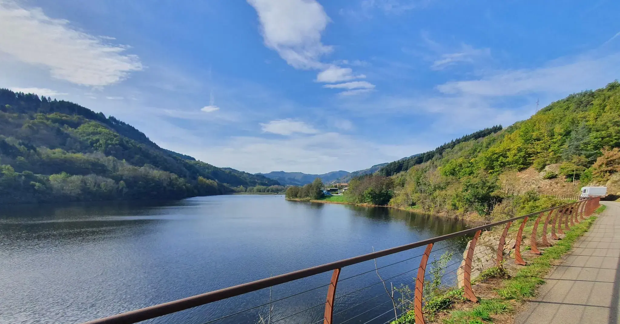
The trails of Ardèche — on the train tracks by bike
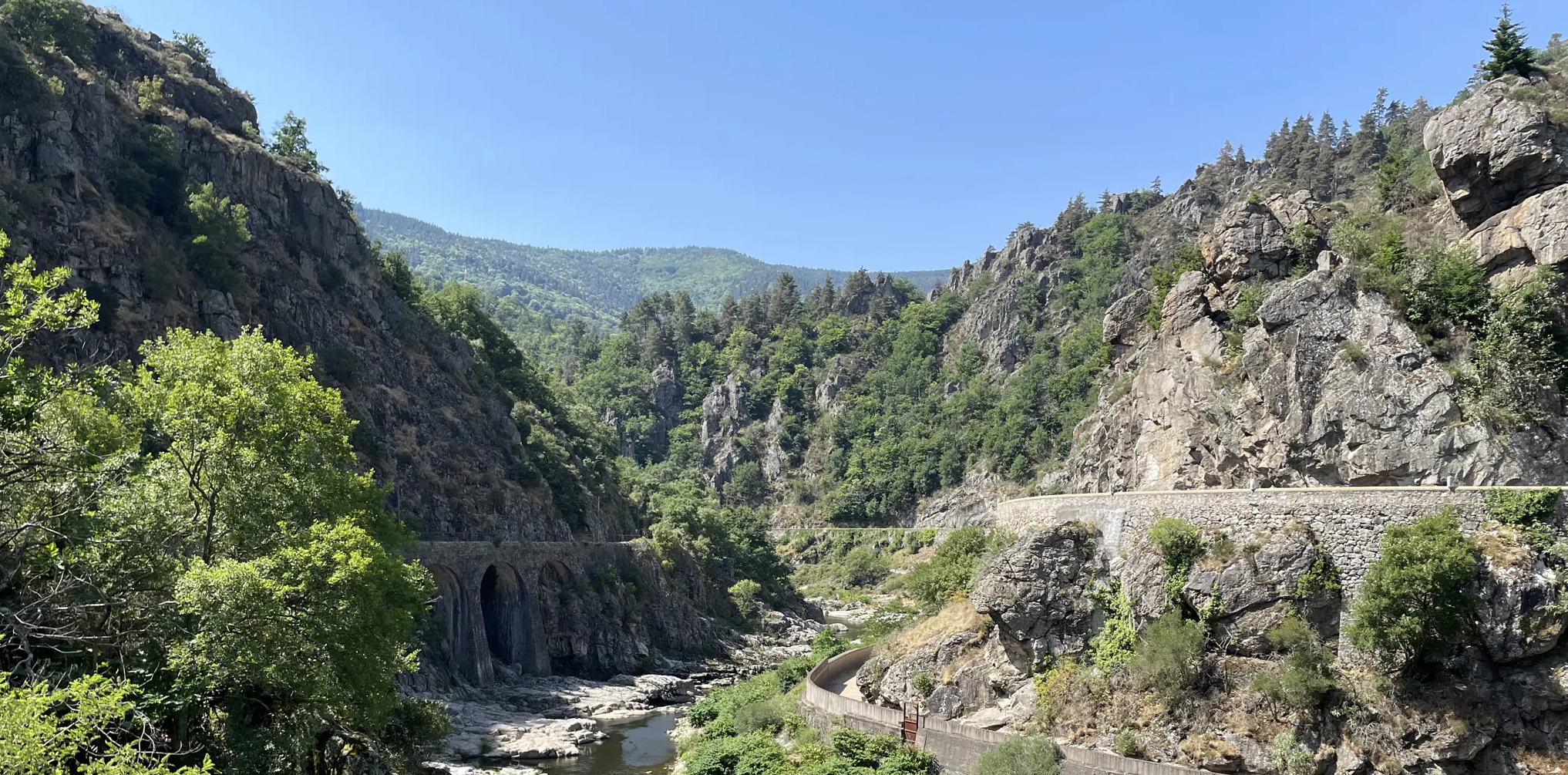
A gentle walk through the Ardèche — La Dolce Via by bike
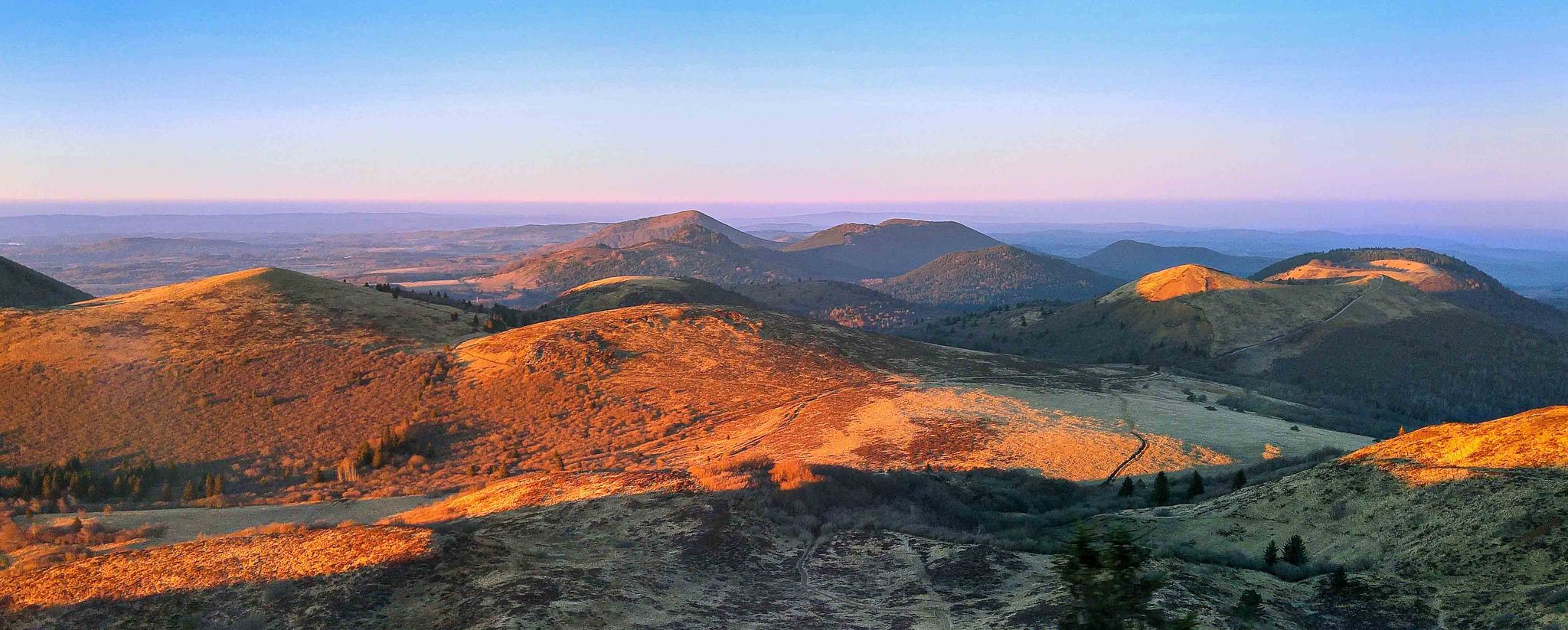
Breite Täler, mächtige Berge – Raderlebnisse in der Region Auvergne-Rhône-Alpes
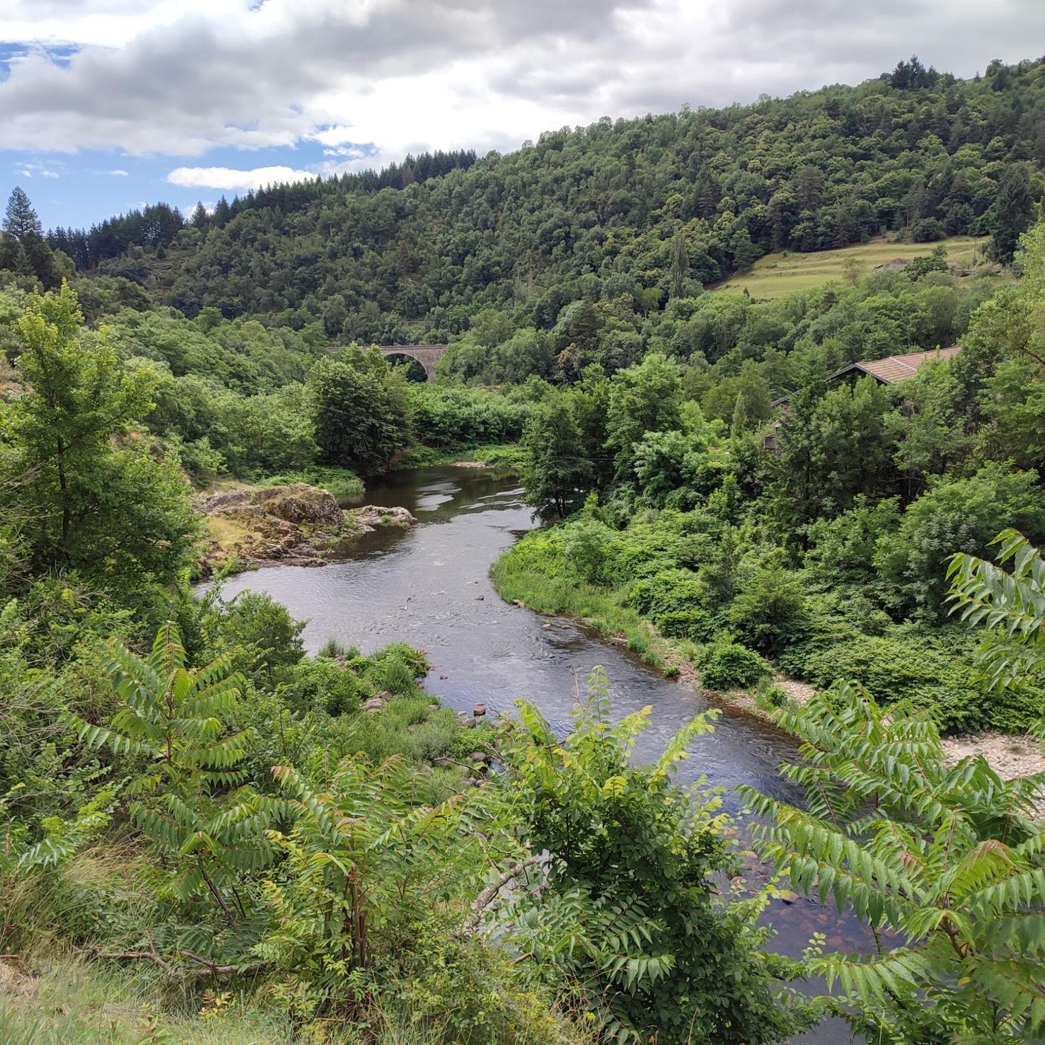
Cycling around Le Cheylard
Road Cycling Routes around Le Cheylard
MTB Trails around Le Cheylard

Gravel biking around Le Cheylard
Running Trails around Le Cheylard
Other adventures around Le Cheylard


Tips from the Community


A small station for repairing and charging bicycles - with shady seating - near a small cafe/restaurant about 50m
1
0

Possibility of starting from the 3 stations in the region and thus completing one of the 3 sections of +_ 30km outward and possibly return depending on the time or desires. Accessible to all, be careful however it climbs all the time coming from the Rhône. Superb landscapes and very secure routes, accessible to all levels, gravel and vtc, quite a bit of gravel.
0
0

Le Cheylard is the second industrial center of the Ardèche, nestled in the valleys of Eyrieux and Dorne. To see, the Arche des Métiers, the Maison du Bijou, the Château de la Chèze.
0
0

The ruins of Rochebonne castle, in the upper Eyrieux valley, are perched on a granite promontory dominating the left bank of the Eyrieux, 850 meters above sea level.
4
0

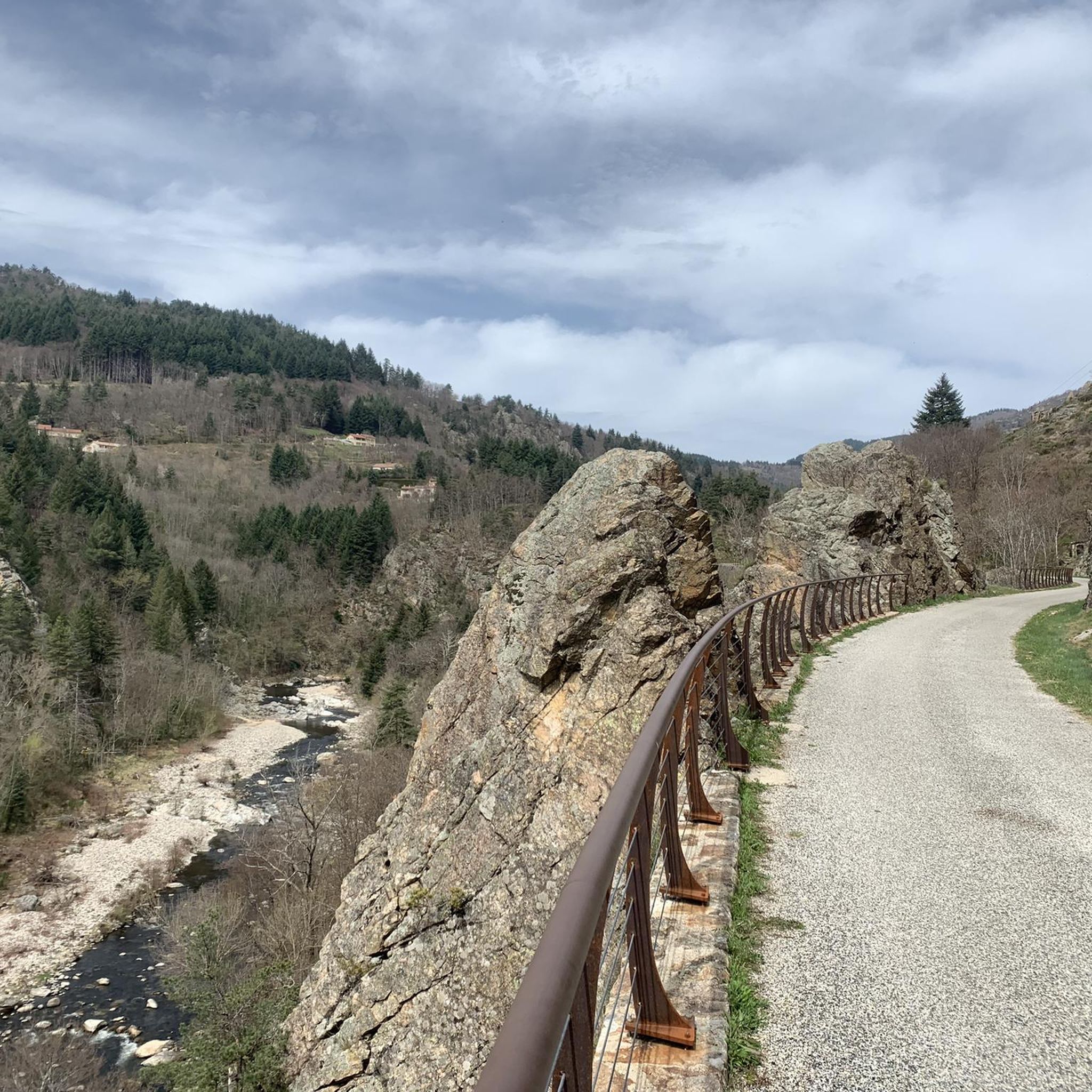
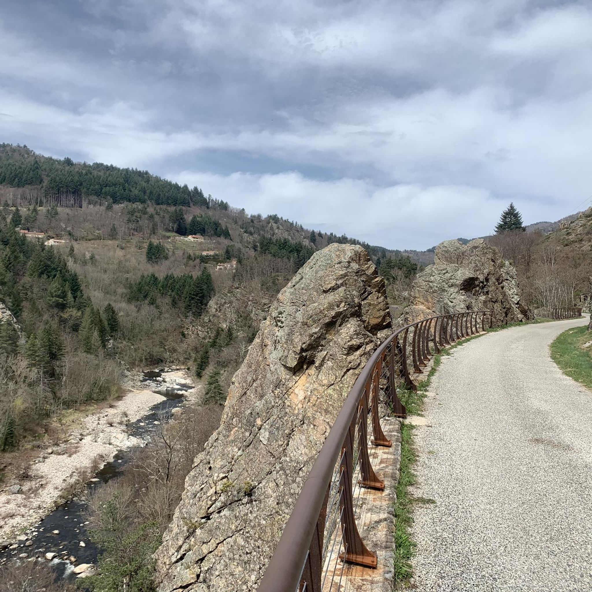
Just a few steps from Le Cheylard, you can enjoy a magnificent view of the valley in a landscape typical of the Monts d'Ardèche natural park.
1
1
Frequently Asked Questions
How many hiking trails are available around Le Cheylard?
There are over 20 hiking routes around Le Cheylard, offering a variety of experiences. These include 6 easy trails, 11 moderate routes, and 3 more challenging expeditions.
Are there any easy, family-friendly walks in Le Cheylard?
Yes, Le Cheylard offers several easy routes suitable for families. A great option is the La Dolce Via loop from Le Cheylard, a 4.9 km trail through the scenic Eyrieux Valley, which takes about 1 hour 23 minutes to complete. Another easy choice is the Château de la Chèze – Pine forest loop from Le Cheylard, a 5.7 km route through a pine forest.
What kind of terrain can I expect on hikes around Le Cheylard?
The terrain around Le Cheylard is quite varied, ranging from wooded hills and terraced landscapes to the picturesque Eyrieux Valley. You'll find sections along the gentle greenway of La Dolce Via, as well as paths through forests and areas with volcanic features like granite formations. Elevations vary from 300m to 1,000m, providing diverse walking experiences.
Are there any circular hiking routes in the area?
Many of the trails around Le Cheylard are circular, allowing you to start and end in the same location. Examples include the easy La Dolce Via loop from Le Cheylard and the more challenging Viewpoint on the Dolce Via – Rochebonne Castle loop from Le Cheylard.
What historical landmarks or natural features can I see while hiking?
Hiking around Le Cheylard offers views of several interesting landmarks and natural features. You can explore historical sites like the Château de la Chèze and the ruins of Château de Rochebonne. Natural highlights include the scenic Eyrieux Gorges, the unique Nonières Tunnel along the Dolce Via, and panoramic viewpoints offering glimpses of Mont Gerbier de Jonc and the distant Massif Central.
Are there any challenging hikes for experienced trekkers?
Yes, for experienced hikers seeking a challenge, the Viewpoint on the Dolce Via – Rochebonne Castle loop from Le Cheylard is a difficult 15.9 km route that offers significant elevation gain and panoramic views. This trail provides a rewarding experience for those looking for a longer, more strenuous hike.
What do other hikers say about the trails in Le Cheylard?
The hiking trails in Le Cheylard are highly rated by the komoot community, with an average score of 4.4 stars from over 120 reviews. Hikers often praise the diverse landscapes, the well-maintained sections of the Dolce Via, and the stunning viewpoints over the Eyrieux Valley and surrounding mountains.
Can I access hiking trails using public transport in Le Cheylard?
While Le Cheylard is a hub for many trails, public transport options directly to trailheads can be limited. It's advisable to check local bus schedules for connections to nearby villages or consider starting your hike directly from Le Cheylard town center, as many routes are accessible from there.
Are there any hikes that offer great viewpoints?
Absolutely. Many trails in the region lead to stunning viewpoints. For example, the moderate View over Le Cheylard – Château de la Chèze loop from Le Cheylard provides excellent vistas of the town and its surroundings. Higher altitude trails often offer panoramic views of the Eyrieux Valley, Mont Gerbier de Jonc, and even the distant Alps on clear days.
What is the best time of year to go hiking in Le Cheylard?
The region is enjoyable for hiking through much of the year. Spring and autumn offer pleasant temperatures and vibrant scenery, with blooming wildflowers or colorful foliage. Summer is also popular, though some trails can be warm; the shaded forest paths and the cool Nonières Tunnel can provide relief. Winter hiking is possible, but some higher routes might be affected by snow or ice.
Are there any moderate difficulty hikes available?
Yes, there are 11 moderate trails around Le Cheylard. A good option is the La Dolce Via – Viewpoint on the Dolce Via loop from Le Cheylard, an 8.2 km route that combines sections of the greenway with elevated viewpoints, offering a balanced challenge.
Most popular routes around Le Cheylard
Most popular attractions around Le Cheylard

Get inspired with the komoot mobile app


Explore more
Browse the best Hikes in other regions.
