The best running trails around Hauteville
4.6
(52)
2,393
runners
140
runs
Jogging around Hauteville offers diverse terrain, primarily characterized by hilly landscapes and mountain passes. The region provides picturesque routes with varied topography, suitable for runners seeking both moderate and challenging inclines. These areas often feature forest paths and open vistas, providing a dynamic environment for running.
Best jogging routes around Hauteville
- The most popular jogging route is Col de Cochette (587 m) – Tours de Montmayeur loop from Coise-Saint-Jean-Pied-Gauthier, a 9.7 miles (15.6 km) trail that takes 2 hours…
Last updated: July 1, 2026
5.0
(1)
26
runners
Hard run. Very good fitness required. Sure-footedness, sturdy shoes and alpine experience required.
7
runners
11.2km
01:11
130m
130m
Moderate run. Good fitness required. Mostly paved surfaces. Suitable for all skill levels.

Sign up for free
10
runners
22.8km
02:53
630m
630m
Hard run. Very good fitness required. Sure-footedness, sturdy shoes and alpine experience required.
4
runners
10.7km
01:12
160m
160m
Moderate run. Good fitness required. Mostly paved surfaces. Suitable for all skill levels.
7
runners
7.46km
01:00
200m
200m
Hard run. Good fitness required. Sure-footedness, sturdy shoes and alpine experience required.
Get access to more routes and recommendations from other explorers.
Sign up for free
Already have an account?
Our route recommendations are based on thousands of hikes, rides, and runs completed by other people on komoot.
Start today with a free account
Your next adventure awaits.
Login or Signup
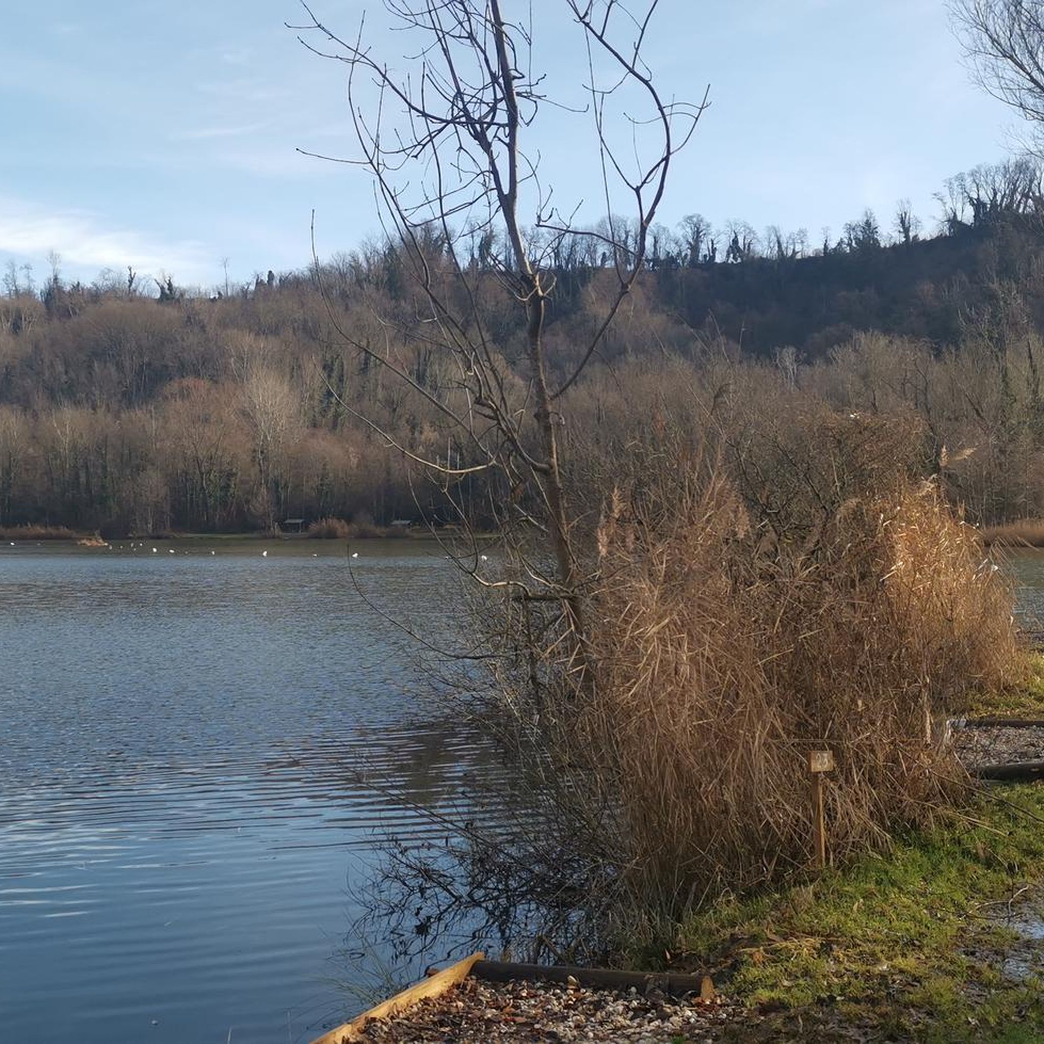

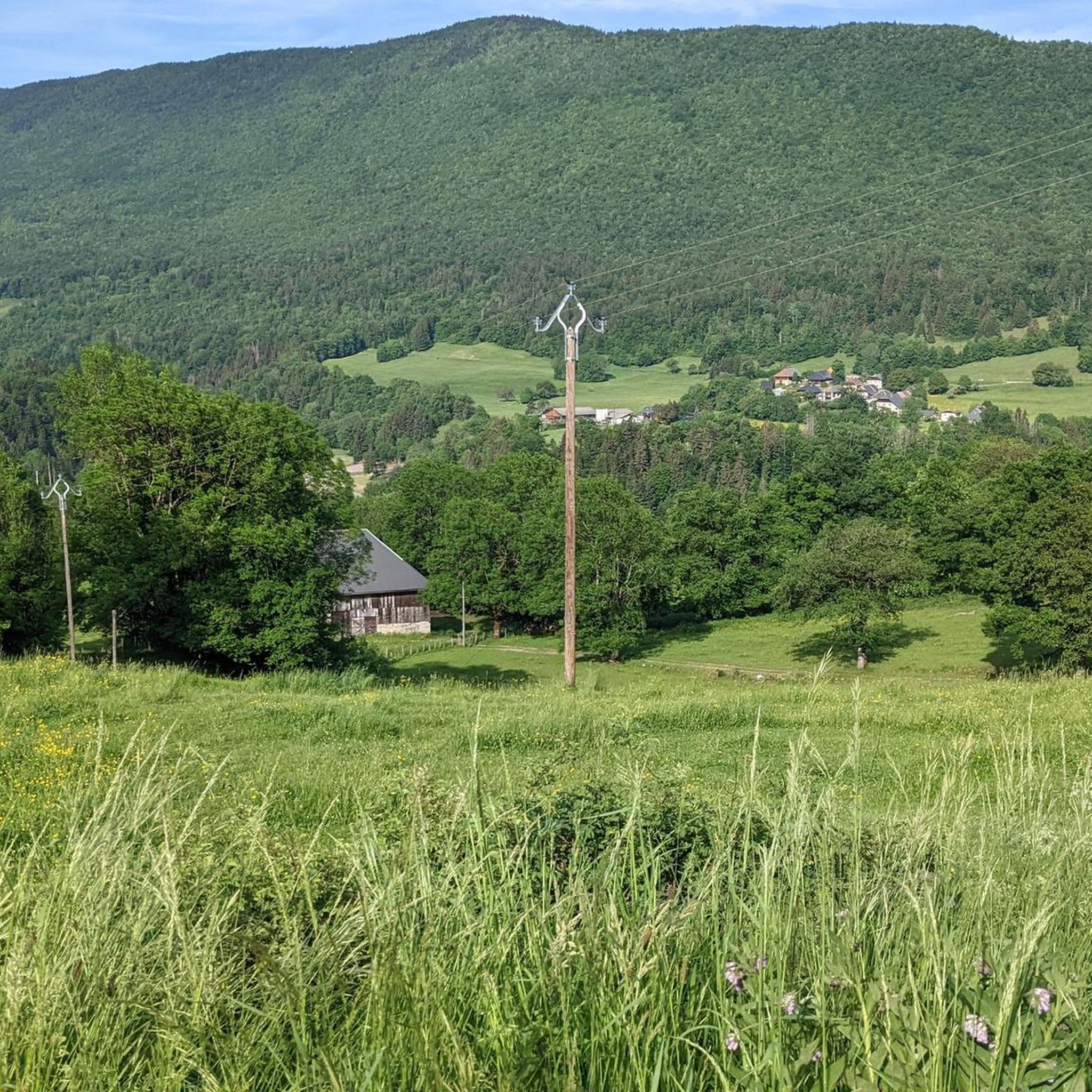
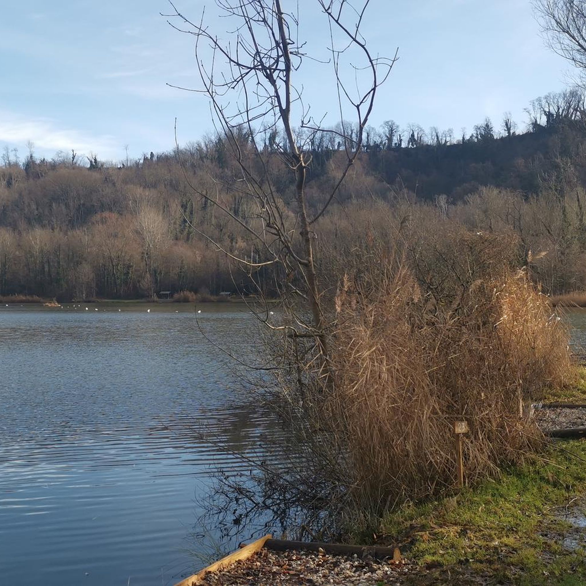

Tips from the Community

just magnificent, keep it secret or almost....
0
0

The Col de Cochette from La Trinité is 2.99 km long with a total drop of 237 m. The average gradient is 7.9% with maximum gradients of 10%. From Villard-d'Héry, it is 1.89 km with an average gradient of 7.8%. There is a total drop of 148m.
2
0
Frequently Asked Questions
How many running routes are available around Hauteville?
There are over 150 dedicated running routes around Hauteville, offering a wide variety of options for joggers of all levels. These routes primarily feature hilly landscapes, mountain passes, and forest paths, providing a dynamic environment for your run.
Are there easy jogging routes for beginners in Hauteville?
Yes, while many routes feature challenging inclines, Hauteville offers 11 easy jogging routes. These are perfect for beginners or those looking for a more relaxed run through the scenic terrain.
What kind of terrain can I expect on the running trails in Hauteville?
The running trails in Hauteville are characterized by diverse terrain, including hilly landscapes, significant mountain passes, and serene forest paths. You'll find a mix of moderate and difficult routes, often with varied topography and open vistas, typical of the Jura Mountains region.
Are there any circular running routes in Hauteville?
Yes, many of the running routes around Hauteville are designed as loops, allowing you to start and finish in the same location. For example, the Col de Cochette loop from Châteauneuf is a popular moderate circular trail.
What do other runners enjoy most about jogging in Hauteville?
The running routes in Hauteville are highly rated by the komoot community, with an average score of 4.6 stars from over 40 reviews. Runners often praise the challenging ascents, panoramic views, and the varied terrain that makes each run unique. Over 2000 runners have used komoot to explore the area's trails.
Can I find long-distance running trails in Hauteville?
Absolutely. Hauteville offers several longer routes for endurance runners. For instance, the Col de Cochette (587 m) – Tours de Montmayeur loop from Coise-Saint-Jean-Pied-Gauthier is a difficult 9.7-mile (15.6 km) trail, perfect for a longer run with significant elevation gain.
Are there any notable natural features or viewpoints along the running routes?
Yes, the mountainous region around Hauteville offers several natural features and viewpoints. You might encounter mountain passes like Marocaz Pass or Col du Frêne (950 m). For stunning vistas, consider routes that pass by highlights such as Watch Rock or offer views of peaks like La Galoppaz Peak.
Are there any running routes that pass by lakes or water features?
While the region is known for its mountains, you can find routes that include water features. For example, some trails may lead near Étang de Grésy, offering a different scenic element to your run.
What is the typical duration for a running route in Hauteville?
The duration varies greatly depending on the route's length and difficulty. Moderate trails like the Running loop from Coise-Saint-Jean-Pied-Gauthier (10.7 km) can take around 1 hour 10 minutes, while more challenging routes such as the Col de Cochette (587 m) – Tours de Montmayeur loop from Hauteville (15.4 km) might take over 2 hours.
Are there challenging running routes for experienced trail runners?
Yes, Hauteville is an excellent destination for experienced trail runners, with 64 difficult routes available. These trails often feature significant elevation gains and technical sections. The Cochette Pass – Col de Cochette (587 m) loop from Coise-Saint-Jean-Pied-Gauthier is a prime example, offering panoramic views and challenging ascents.
What are the general characteristics of the running environment in Hauteville?
The running environment in Hauteville is defined by its dry, sunny mountain climate and picturesque routes. You'll experience varied topography, from forest paths to open vistas, with the constant presence of hilly landscapes and mountain passes, characteristic of the Jura Mountains.
Most popular routes around Hauteville
Most popular attractions around Hauteville

Get inspired with the komoot mobile app


Explore more
Browse the best Running Trails & Routes in other regions.
