The best road cycling routes around Cantoin
4.9
(14)
336
riders
55
rides
Road cycling around Cantoin offers diverse terrain within the Aveyron department of the Occitanie region, characterized by green hills, forests, and the significant Lac de Sarrans. Cyclists navigate through the agricultural landscapes of the Aubrac region, encountering varied topography that includes challenging climbs and the dramatic Gorges de la Truyère. This environment provides a range of road cycling experiences amidst the natural beauty of southern France.
Best road cycling routes around Cantoin
- The most popular road cycling route is Sarrans…
Last updated: July 1, 2026
27
riders
52.6km
02:49
1,050m
1,050m
Hard road ride. Very good fitness required. Mostly well-paved surfaces and easy to ride.
14
riders
59.9km
03:08
1,120m
1,120m
Hard road ride. Very good fitness required. Mostly well-paved surfaces and easy to ride.

Sign up for free
8
riders
42.7km
02:24
860m
860m
Moderate road ride. Good fitness required. Some segments of this route may be unpaved and difficult to ride.
7
riders
45.3km
02:19
600m
600m
Moderate road ride. Good fitness required. Some segments of this route may be unpaved and difficult to ride.
24
riders
Moderate road ride. Good fitness required. Mostly well-paved surfaces and easy to ride.
Get access to more routes and recommendations from other explorers.
Sign up for free
Already have an account?
Our route recommendations are based on thousands of hikes, rides, and runs completed by other people on komoot.
Start today with a free account
Your next adventure awaits.
Login or Signup

Tips from the Community

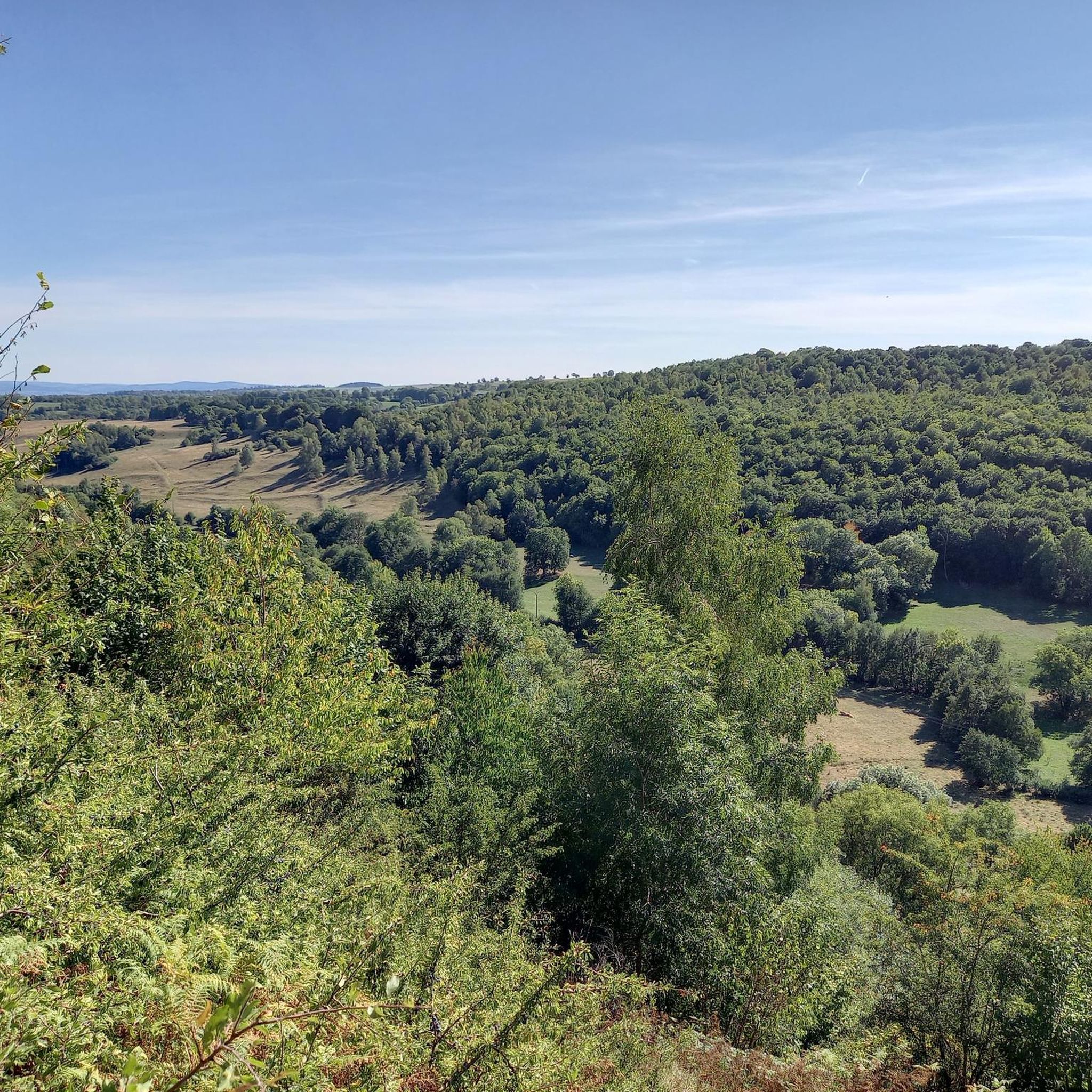
Quite a climb up the valley. There's a bit more of a climb after this pass heading north, though.
0
0

From Sagnette, stay on the D39. This climb is 2.4 kilometers long, with a positive elevation gain of 165 meters. The Col de La Griffoul from La Sagnette has an average gradient of 7%. Afterward, let yourself glide into the magnificent Brezons Valley.
0
0

A place worth seeing, I'll go inside tomorrow. Okay, only worth seeing from a distance, the church on the hill is quite pretty. But the large main road and the huge parking lot in the city center didn't encourage me to take a longer break. I've seen other beautiful places.
0
0


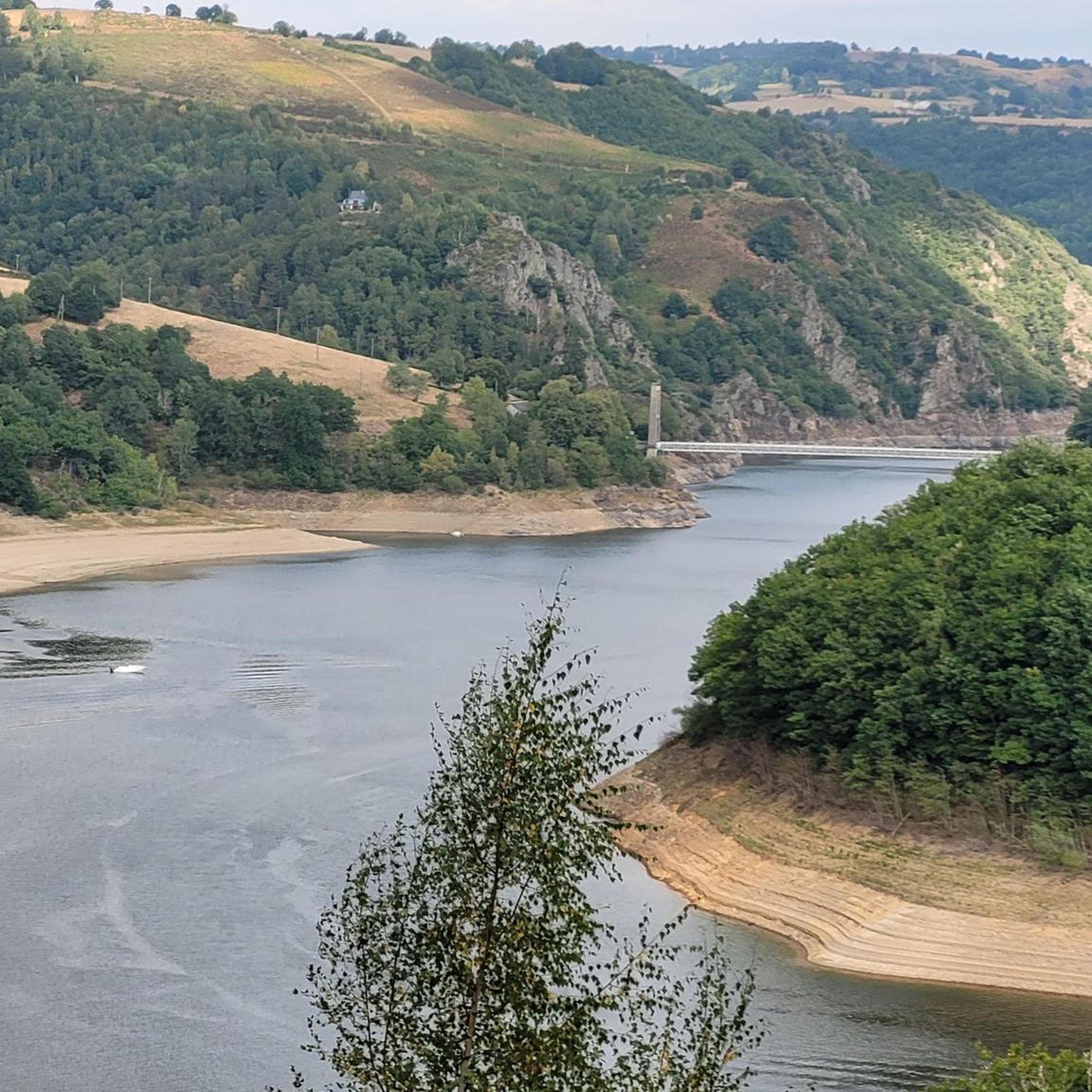
View of the river and the grandiose and wild gorges of Truyère. The site is classified and is among the Natura 2000 areas. The gorges are home to numerous birds of prey including a large population of peregrine falcons.
0
0

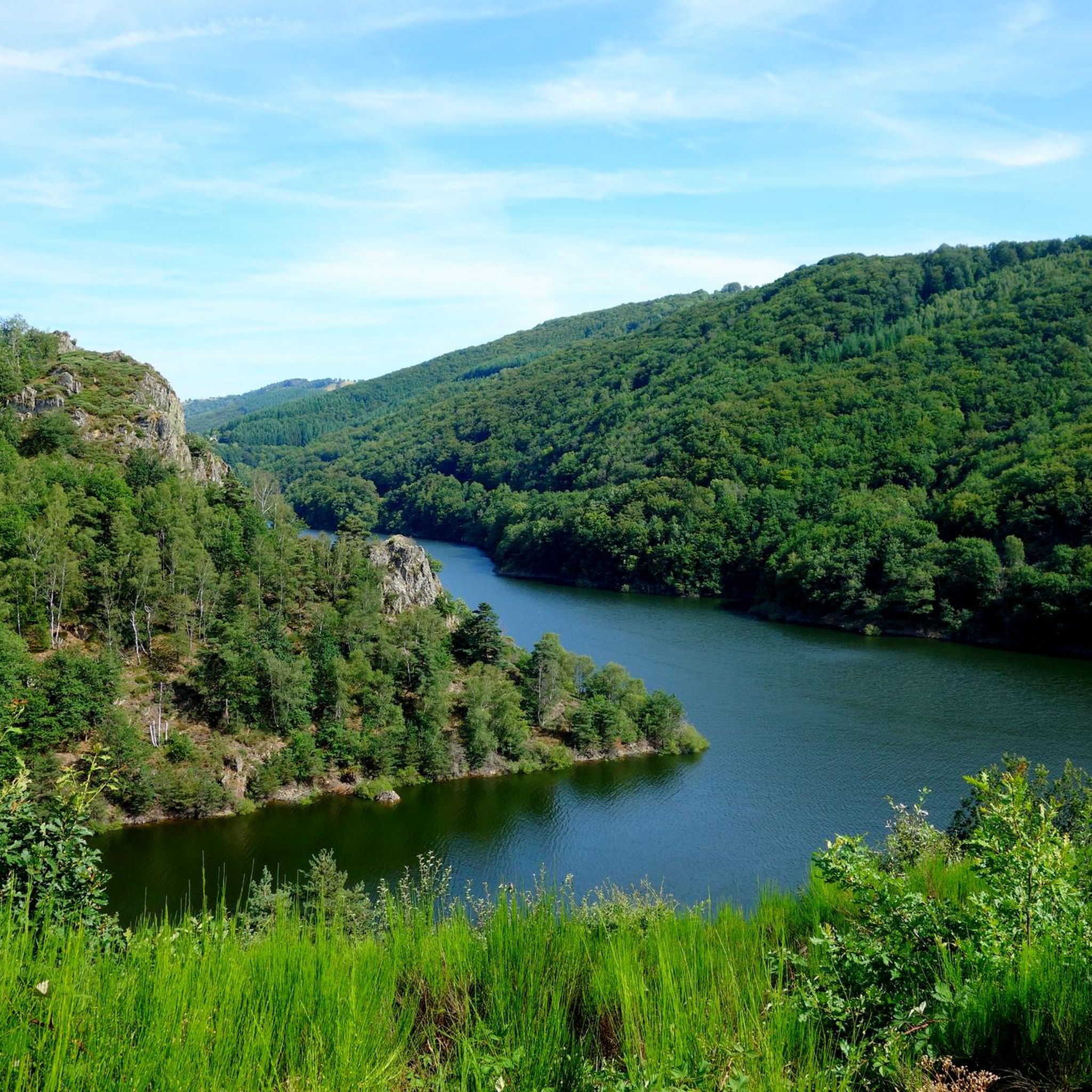
Lovely view of the Truyère which winds through the heart of the green valley. A feast for the eyes !
2
0
The church of Saint-Martin-sous-Vigouroux is built in volcanic tuff. Its comb bell tower gives it a special look. It is classified as a historical monument.
1
0
Frequently Asked Questions
How many road cycling routes are available around Cantoin?
There are over 50 road cycling routes available around Cantoin, offering a wide range of options for cyclists exploring the Aveyron department.
What are the typical difficulty levels for road cycling routes in the Cantoin area?
Road cycling routes around Cantoin cater to various skill levels. While there is one easy route, the majority are moderate (around 30 routes) to difficult (over 20 routes), often featuring challenging climbs and varied topography characteristic of the Aveyron department.
What natural features or landmarks can I expect to see while cycling around Cantoin?
Many routes offer stunning views of the Lac de Sarrans, a significant dam lake on the River Truyère. You might also encounter the scenic Laussac Peninsula, the picturesque Banks of the Truyère, and the impressive Sarrans Dam. The region's diverse landscape includes green hills, forests, and the agricultural expanses of the Aubrac region.
Are there any routes that offer particularly scenic viewpoints?
Yes, the area is known for its picturesque scenery. Routes often provide views of the Lac de Sarrans and the surrounding green hills. For instance, the Laussac Peninsula – Grifoul Pass loop from Laussac explores the scenic Laussac Peninsula, offering beautiful vistas.
What is the best time of year for road cycling in Cantoin?
The Aveyron department, where Cantoin is located, is generally pleasant for cycling from spring through autumn. Cyclists can enjoy green and welcoming landscapes, but it's always advisable to check local weather forecasts, especially for the more challenging routes with significant elevation changes.
Are there any family-friendly road cycling options around Cantoin?
While many routes are moderate to difficult, there is at least one easy road cycling route available. For families, it's recommended to look for routes with minimal elevation gain and away from busy roads, perhaps closer to the banks of the Lac de Sarrans where the terrain might be flatter.
What do other road cyclists enjoy most about cycling in Cantoin?
The road cycling experience around Cantoin is highly rated by the komoot community, with an average score of 4.7 stars. Cyclists often praise the varied terrain, the stunning views of Lac de Sarrans, and the opportunity to explore the natural beauty of the Aveyron department.
Are there any circular road cycling routes in the area?
Yes, many of the routes around Cantoin are designed as loops, allowing you to start and finish at the same point. Examples include the Sarrans Dam – Banks of the Truyère loop from Sainte-Geneviève-sur-Argence and the Le Cayre loop from Sainte-Geneviève-sur-Argence.
What kind of elevation gain can I expect on road cycling routes near Cantoin?
The Cantoin area, being part of the diverse Aveyron topography, features significant elevation changes. Many routes, especially those rated difficult, can have over 1000 meters of elevation gain. For example, the Château de Valon – Mur-de-Barrez loop from Thérondels involves over 1400 meters of ascent.
Where can I find parking for road cycling routes in Cantoin?
Starting points for routes often include nearby villages or specific points of interest. For example, routes like the Sarrans Dam – Banks of the Truyère loop start from Sainte-Geneviève-sur-Argence, where parking facilities are typically available. It's advisable to check the specific route details for recommended parking locations.
Are there opportunities to stop for refreshments or food along the cycling routes?
While specific cafes or pubs directly on every route are not detailed, the charming villages and towns in the Aveyron region, such as Mur-de-Barrez, often offer local establishments where cyclists can stop for refreshments. Planning your route to pass through these villages can provide convenient breaks.
What is the general terrain like for road cycling in the Cantoin region?
The terrain around Cantoin is highly varied, ranging from green hills and forests to the agricultural landscapes of the Aubrac region. Cyclists can expect a mix of rolling hills, some challenging climbs, and scenic stretches along rivers and lakes, providing a dynamic riding experience.
Most popular attractions around Cantoin

Get inspired with the komoot mobile app


Explore more
Browse the best Road cycling routes in other regions.
