The best walks and hikes around Arpajon-Sur-Cère
4.4
(56)
568
hikers
60
hikes
Hiking around Arpajon-Sur-Cère offers diverse terrain within the Cantal department, characterized by its volcanic landscape, including views of the Monts du Cantal and the Cantal Volcano. The region features picturesque river valleys such as the Cère and Mamou, alongside extensive forests and calcareous grasslands. Trails often lead to panoramic viewpoints and natural features like waterfalls, providing varied hiking experiences.
Best hiking trails around Arpajon-Sur-Cère
- The most popular hiking route is Carbonat Castle loop from Place de Carbonat, a 6.1…
Last updated: July 9, 2026
4.5
(2)
31
hikers
8.10km
02:20
200m
200m
Moderate hike. Good fitness required. Easily-accessible paths. Suitable for all skill levels.
18
hikers
12.3km
03:27
230m
230m
Moderate hike. Good fitness required. Easily-accessible paths. Suitable for all skill levels.

Sign up for free
4.0
(1)
11
hikers
5.08km
01:30
140m
140m
Easy hike. Great for any fitness level. Easily-accessible paths. Suitable for all skill levels.
5.0
(1)
2
hikers
4.19km
01:09
70m
70m
Easy hike. Great for any fitness level. Easily-accessible paths. Suitable for all skill levels.
11
hikers
6.28km
01:37
30m
30m
Easy hike. Great for any fitness level. Easily-accessible paths. Suitable for all skill levels.
Get access to more routes and recommendations from other explorers.
Sign up for free
Already have an account?
Our route recommendations are based on thousands of hikes, rides, and runs completed by other people on komoot.
Start today with a free account
Your next adventure awaits.
Login or Signup

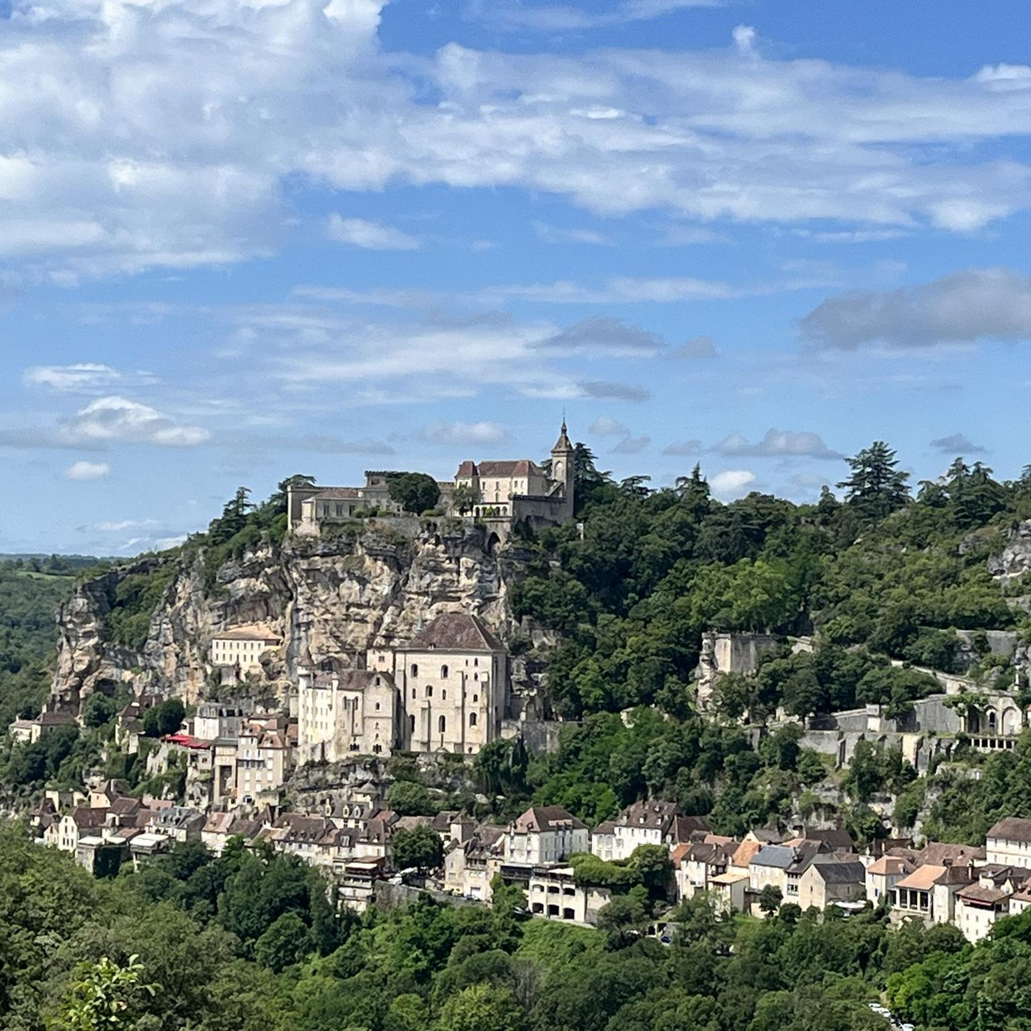
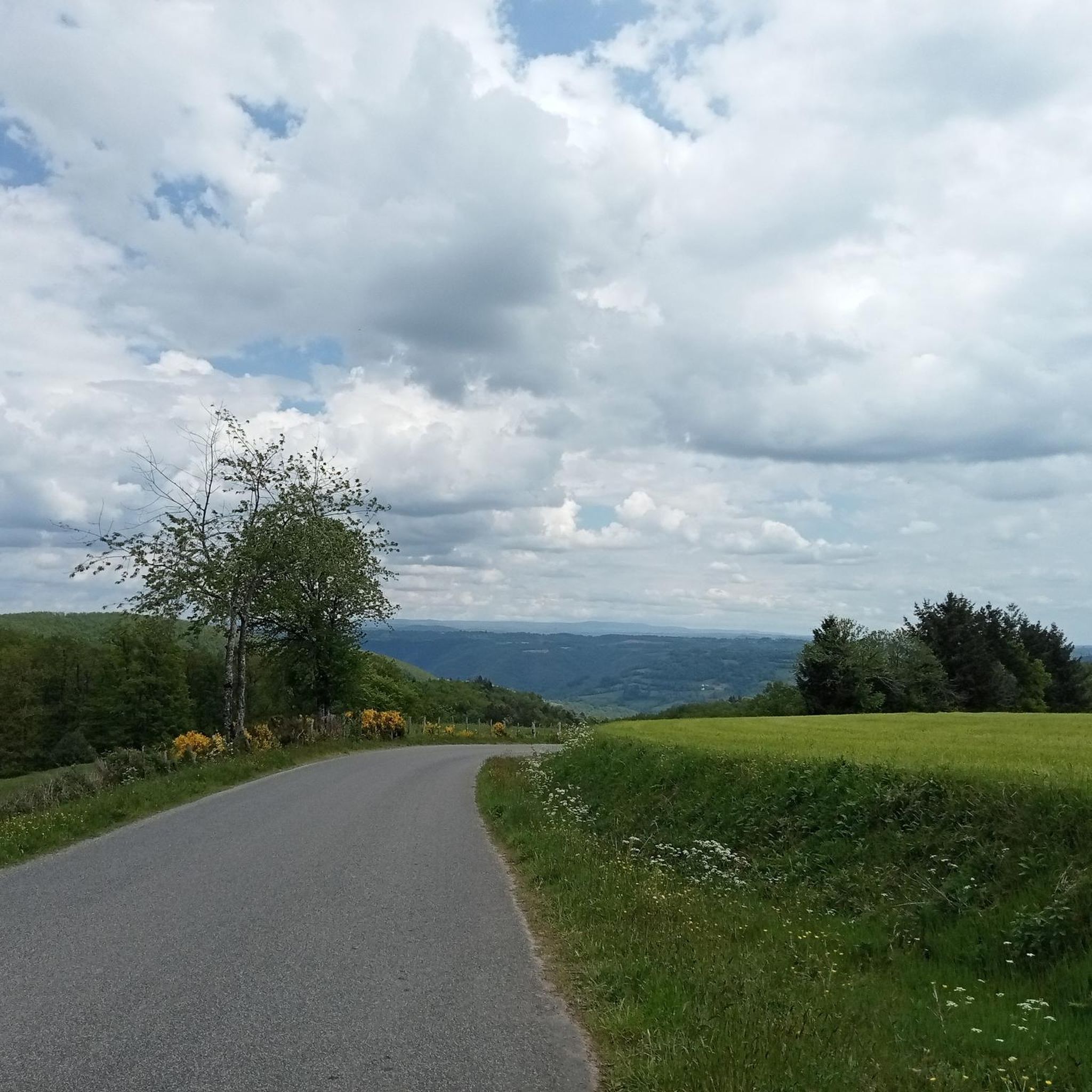
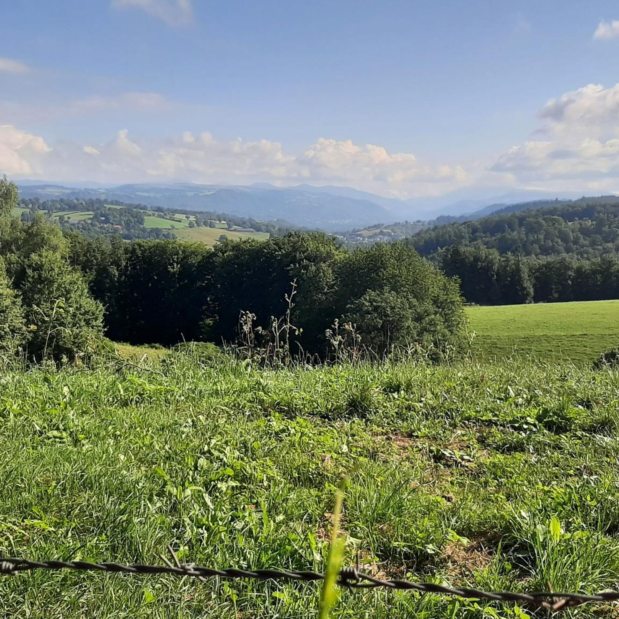

Tips from the Community

The international street theater festival which takes place every year in the last weeks of August has made this beautiful town in Cantal famous. Aurillac is also a museum of art and archeology, a very contemporary museum of volcanoes and an ideal horse center for horse riding enthusiasts.
1
0
Frequently Asked Questions
How many hiking trails are available around Arpajon-sur-Cère?
There are over 60 hiking routes available around Arpajon-sur-Cère. These trails cater to various skill levels, from easy strolls to more challenging treks, allowing you to explore the diverse landscapes of the Cantal department.
What types of landscapes can I expect to see while hiking in Arpajon-sur-Cère?
Hiking around Arpajon-sur-Cère offers a rich variety of landscapes. You'll encounter spectacular volcanic terrain, including views of the Monts du Cantal and the expansive Cantal Volcano. Trails often follow picturesque river valleys like the Cère and Mamou, pass through diverse forests, and cross calcareous grasslands. Many routes also lead to magnificent panoramic viewpoints.
Are there any easy or family-friendly hiking options?
Yes, Arpajon-sur-Cère offers many easy and family-friendly options. Approximately 26 of the trails are rated as easy. For a gentle walk, consider the trails within La Plantelière, a 7-hectare natural site in Arpajon-sur-Cère itself, which features signposted trails perfect for leisurely strolls.
Are there any circular hiking routes in the area?
Yes, many routes around Arpajon-sur-Cère are circular, offering convenient starting and ending points. A popular moderate circular route is the Carbonat Castle loop from Place de Carbonat, which is about 9.8 km long and takes nearly 3 hours to complete. Another option is the Puy Courny Cross loop from Arpajon-sur-Cère, a 12.7 km moderate path.
What are some notable landmarks or attractions I can see on a hike?
Beyond natural beauty, some paths lead to cultural points of interest. You might discover traditional 'burons' (stone shelters), the castle in Laroquebrou, or charming small villages like Fontanges. Closer to Arpajon-sur-Cère, you can explore the town of Aurillac or the historic village of Marcolès. The Fabrègues Castle is also a point of interest in the vicinity.
Are there any waterfalls along the hiking trails?
Yes, the region is home to beautiful waterfalls that can be refreshing stops during your hikes. Notable examples include the Cascade du Trou de la Conche and the Cascade du Luc, which add a picturesque element to the natural scenery.
What is the best time of year to go hiking in Arpajon-sur-Cère?
The best time to go hiking in Arpajon-sur-Cère is generally from spring through autumn. During these seasons, the weather is most favorable, and the diverse flora, including wild orchids and hyacinths, is in bloom, especially in areas with calcareous grasslands. The region's natural beauty is particularly vibrant during these months.
What do other hikers enjoy most about hiking in Arpajon-sur-Cère?
The area is highly rated by the komoot community, with an average score of 4.3 stars from over 50 reviews. Hikers often praise the diverse terrain, from volcanic hills to river valleys, and the well-maintained network of trails that offer options for all levels. The panoramic views and natural features like waterfalls are frequently highlighted.
Are there any challenging hikes for experienced trekkers?
Yes, for experienced trekkers seeking a challenge, there is at least one difficult-rated trail among the 68 routes. The volcanic terrain of the Massif Central, with prominent peaks like Puy Griou, Puy Mary, and Peyre Arse, offers opportunities for more demanding ascents and longer treks with significant elevation changes.
Is public transport available to reach hiking trailheads?
While specific public transport details for every trailhead are not readily available, Arpajon-sur-Cère is situated near Aurillac, a larger town that serves as a regional hub. It's advisable to check local transport options from Aurillac to smaller villages or specific starting points for trails. Many routes, especially local circuits, are accessible directly from Arpajon-sur-Cère or nearby villages.
Are dogs allowed on the hiking trails?
Generally, dogs are welcome on many hiking trails in the French countryside, especially if kept on a leash. However, it's always best to check specific regulations for nature reserves or protected areas you plan to visit, as rules can vary. For general walks, the diverse forests and open landscapes provide ample space for you and your dog to enjoy.
Where can I find more information about the natural heritage of the region?
For more detailed information about the natural heritage, including the diverse ecosystems and geological features of the Pays d'Aurillac, you can visit the official tourism website: paysaurillactourisme.com. This resource provides insights into the flora, fauna, and unique landscapes of the area.
Most popular routes around Arpajon-Sur-Cère
Most popular attractions around Arpajon-Sur-Cère

Get inspired with the komoot mobile app


Explore more
Browse the best Hikes in other regions.
