The best walks and hikes around Montanay
4.4
(1058)
5,533
hikers
25
hikes
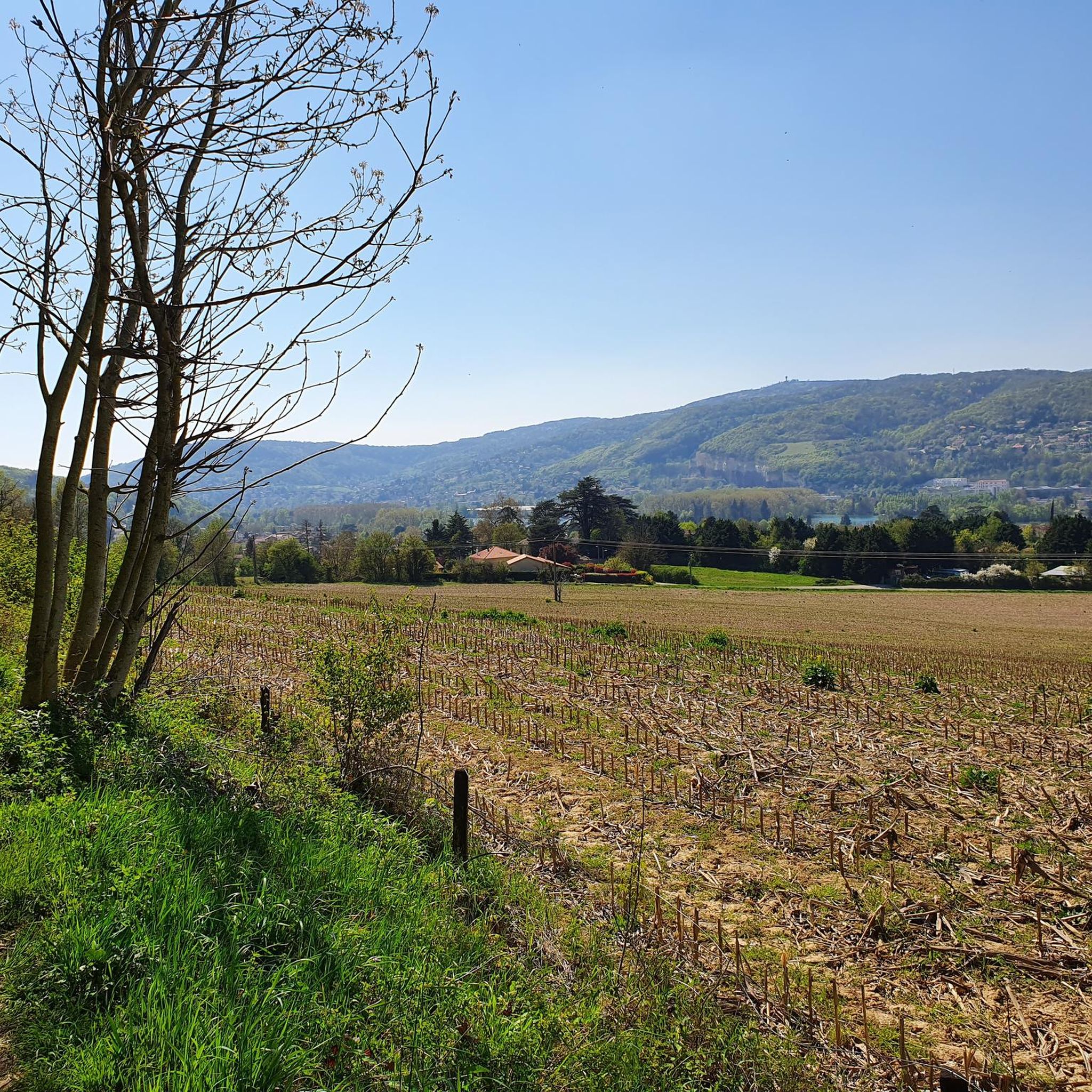
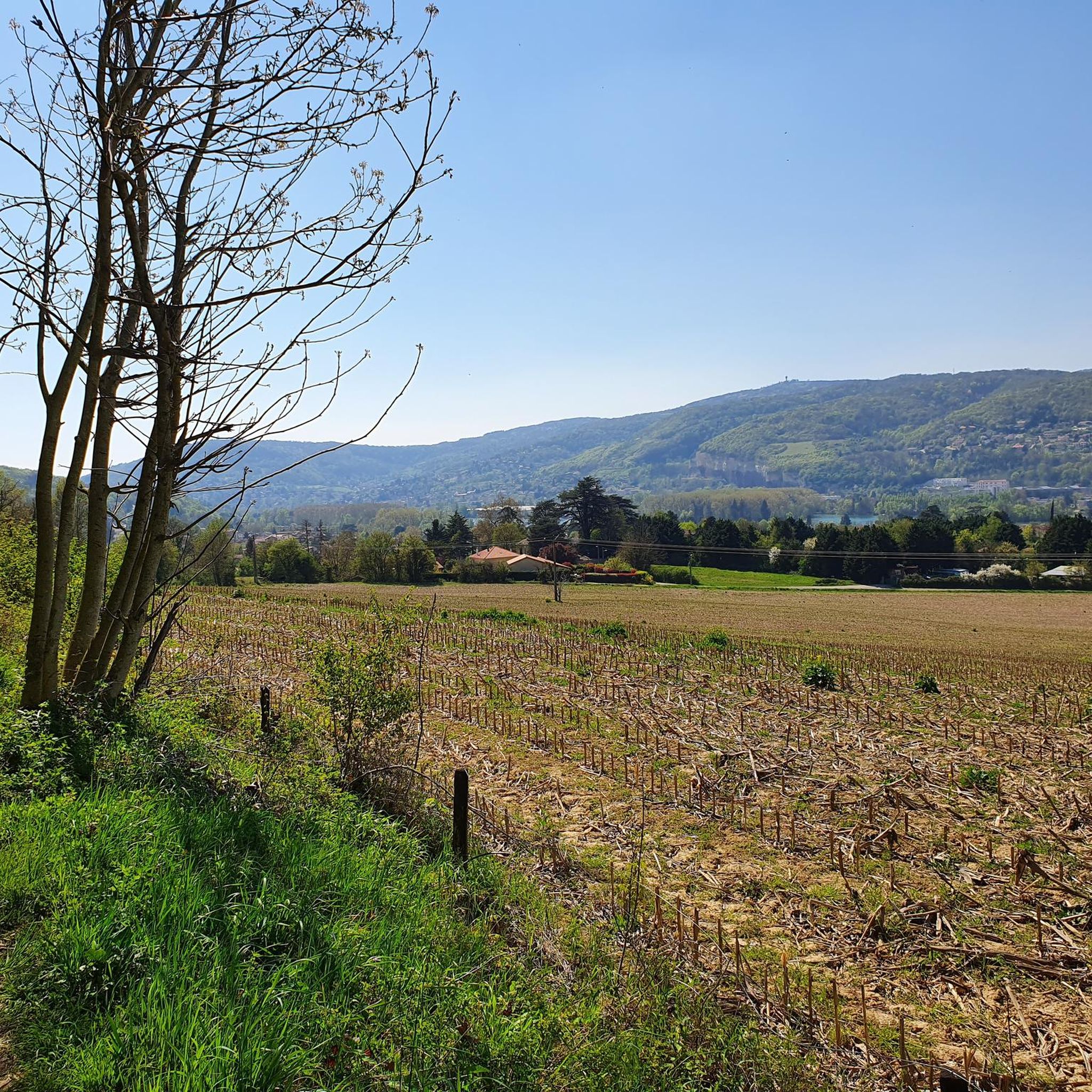
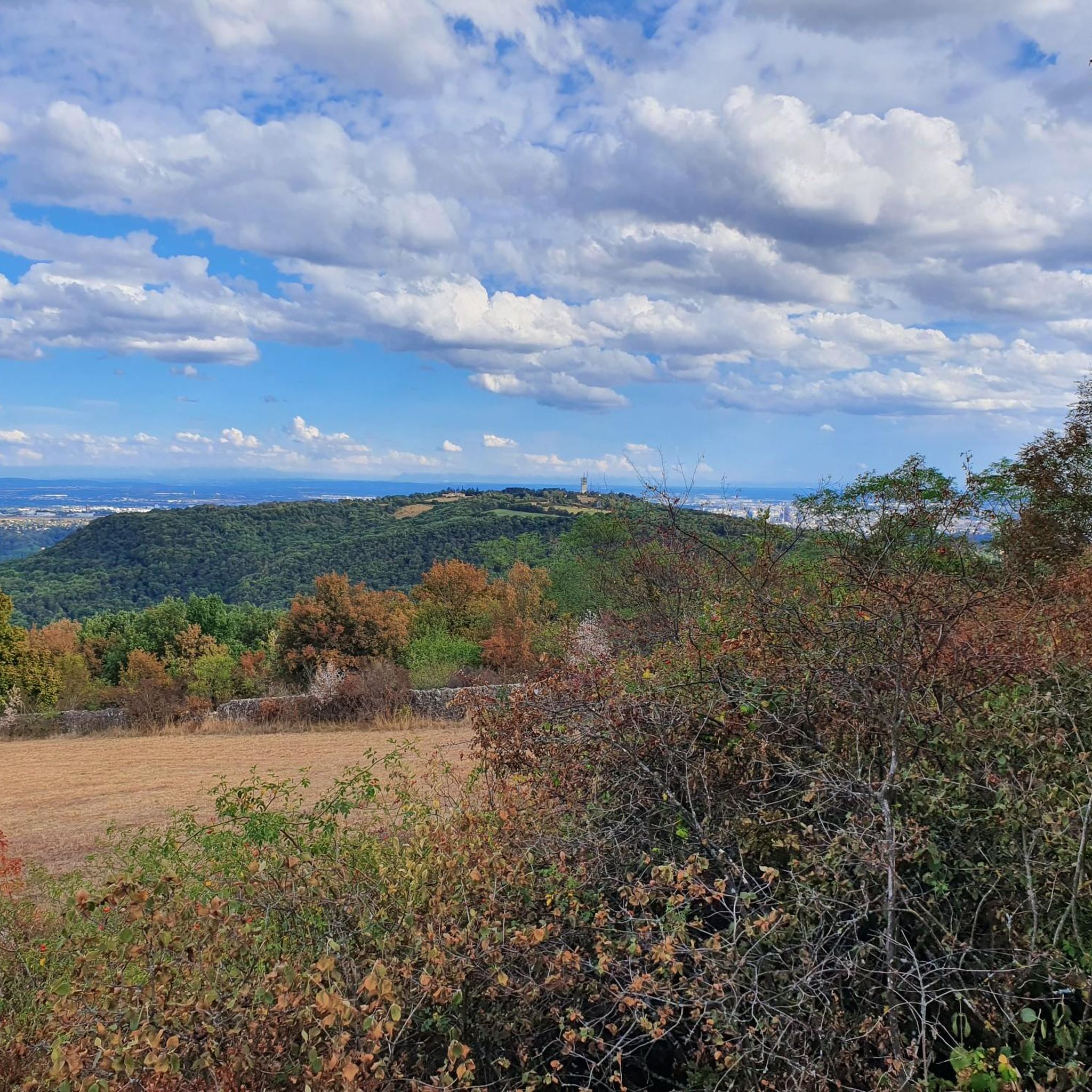
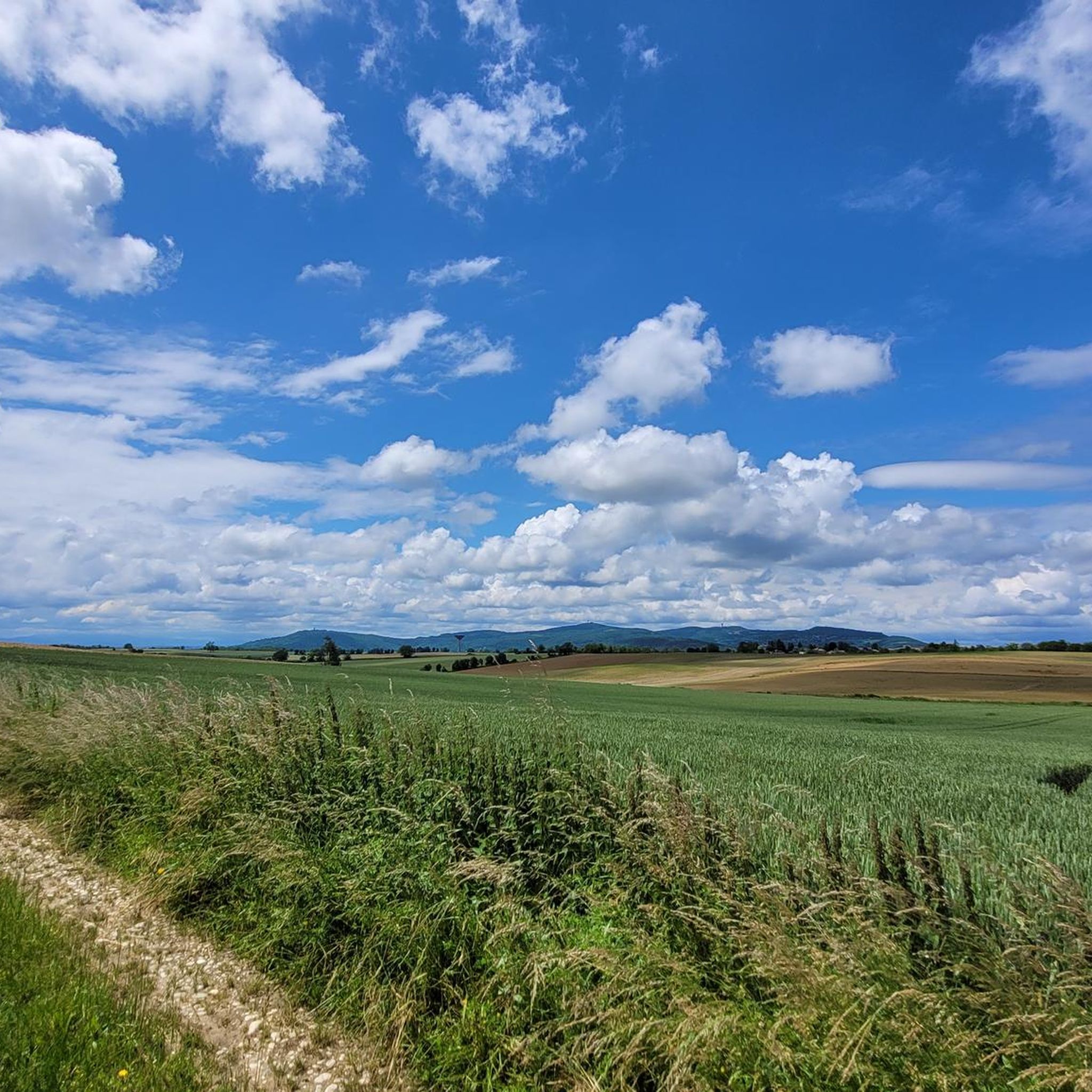
Hiking around Montanay offers a network of trails through a landscape characterized by rolling hills, agricultural areas, and sections of woodland. The region, situated near Lyon, France, features gentle elevation changes, making it accessible for various hiking abilities. Trails often connect small villages, offering views of the surrounding countryside and local landmarks. The terrain is generally well-defined, providing a mix of open paths and shaded forest sections.
Best hiking trails around Montanay
- The most popular hiking route is Madonna of…
Last updated: October 13, 2026
4.4
(10)
38
hikers
12.4km
03:33
280m
280m
Moderate hike. Good fitness required. Easily-accessible paths. Suitable for all skill levels.
3.0
(7)
32
hikers
8.36km
02:12
70m
70m
Moderate hike. Good fitness required. Easily-accessible paths. Suitable for all skill levels.

4.3
(3)
24
hikers
10.2km
02:49
160m
160m
Moderate hike. Good fitness required. Easily-accessible paths. Suitable for all skill levels.
6
hikers
9.78km
02:36
100m
100m
Moderate hike. Good fitness required. Easily-accessible paths. Suitable for all skill levels.
5.0
(1)
10
hikers
8.16km
02:17
150m
150m
Moderate hike. Good fitness required. Easily-accessible paths. Suitable for all skill levels.
Get access to more routes and recommendations from other explorers.
Already have an account?
Our route recommendations are based on thousands of hikes, rides, and runs completed by other people on komoot.
Start today with a free account
Your next adventure awaits.

Tips from the Community

The sculpture of the Virgin was created by Joseph-Hugues Fabisch and erected at Christmas 1899 on the elevation above the Rhône valley in the municipality of Fleurieu-sur-Saône. The text on the pedestal reads: "Show yourself as a mother. Erected in honor of Mary by the members of the community of Fleurieu-sur-Saône in memory of the first mission, preached by Fathers Martin and Saunier, missionaries of the Diocese of Lyon, from December 3 to 23, 1899. The perpetual right of use of the land was unanimously granted by the municipal council on December 18, 1899. Count Pierre (Mayor), J. Revérand (Parish Priest)". The place radiates peace and tranquility.
0
0

Currently the Échets stream is dry which allows you to cross to the other side without getting wet because the small footbridge is blocked by a fallen tree.
1
0

Unfortunately many trees have fallen since my photo in 2023. In July 2026, there is no more water and many trees are uprooted. Global warming no doubt... The place is becoming less charming.
0
0


Today, magnificent view of the Alps and Mont Blanc in good weather
0
0

The creek has been dry for almost a year now... we hope the water will come back.
0
0

On the heights of Fleurieu sits this Virgin Mary. It offers a beautiful view of the Saône and the Monts d’Or.
0
1
Frequently Asked Questions
What kind of terrain can I expect when hiking around Montanay?
Hiking around Montanay features a landscape of rolling hills, agricultural areas, and woodlands. The elevation changes are generally gentle, making the trails accessible for various abilities. You'll find a mix of open paths and shaded forest sections, often connecting small villages.
Are there many hiking trails available in Montanay?
Yes, there are over 20 hiking trails around Montanay. These routes offer options for different ability levels, from easy strolls to moderate excursions through varied rural scenery and dense forest sections.
Are there any easy hiking trails suitable for beginners in Montanay?
Absolutely. Montanay offers several easy routes. For example, the Water tower loop from Montanay is a 2.3-mile (3.7 km) trail that can be completed in about 58 minutes, leading through open countryside with minimal elevation gain.
What are some popular circular walks in Montanay?
Many trails in Montanay are designed as loops. A popular moderate option is the Madonna of Fleurieu – Chemin de la Ruelle Profonde loop from Montanay, which is 8.1 miles (13.0 km) long and takes around 3 hours 42 minutes. Another favorite is the Narrow Forest Trail loop from Montanay, a 6.4-mile (10.2 km) path through dense forest.
What do other hikers enjoy most about the trails in Montanay?
The hiking routes in Montanay are highly rated by the komoot community, with an average score of 4.4 stars from over 800 reviews. Hikers often praise the varied rural scenery, the well-defined paths, and the accessibility of the trails for different skill levels.
Are there any interesting landmarks or natural features to see along the hiking trails?
Yes, the trails often pass through or near interesting points. You can explore areas like Feyssine Park, or enjoy views from Mont Thou and Mount Cindre. There are also beautiful spots like the Mallard Promenade — Blue Waters Lake.
How long do hikes around Montanay typically take?
Hike durations vary depending on the route and your pace. Shorter, easy trails like the Water tower loop from Montanay can be completed in under an hour. Moderate routes, such as the Old railroad loop from Montanay, typically take around 2 hours 17 minutes for its 5.1 miles (8.2 km).
Are the hiking trails in Montanay suitable for families?
Yes, many trails in Montanay are suitable for families due to the gentle elevation changes and well-defined paths. The region offers a good mix of easy strolls and moderate excursions that can be enjoyed by various age groups.
What is the best time of year to go hiking in Montanay?
Montanay's climate, being near Lyon, France, generally offers pleasant hiking conditions from spring through autumn. Spring brings blooming landscapes, while autumn provides comfortable temperatures and colorful foliage. Summer can be warm, so early morning or late afternoon hikes are often preferred.
Is there parking available at the trailheads in Montanay?
While specific parking details vary by trailhead, Montanay is a rural area, and parking is generally available near village centers or designated starting points for popular routes. It's advisable to check individual route descriptions for precise parking information.
Can I reach hiking trailheads in Montanay using public transport?
Montanay is situated near Lyon, which has a comprehensive public transport network. While direct access to every trailhead might require some planning, local bus services often connect Montanay and surrounding villages, providing options to reach various starting points. Checking local transport schedules is recommended.
Are there any trails that offer views of lakes or water features?
Yes, the region includes access to beautiful water features. You can visit the Mallard Promenade — Blue Waters Lake or explore the Grand Brotteau Peninsula, Lac des Eaux Bleues, which are popular spots for walkers and nature enthusiasts.
Most popular attractions around Montanay

Get inspired with the komoot mobile app


Explore more
Browse the best Hikes in other regions.
