The best walks and hikes around La Petite-Marche
4.6
(173)
880
hikers
57
hikes
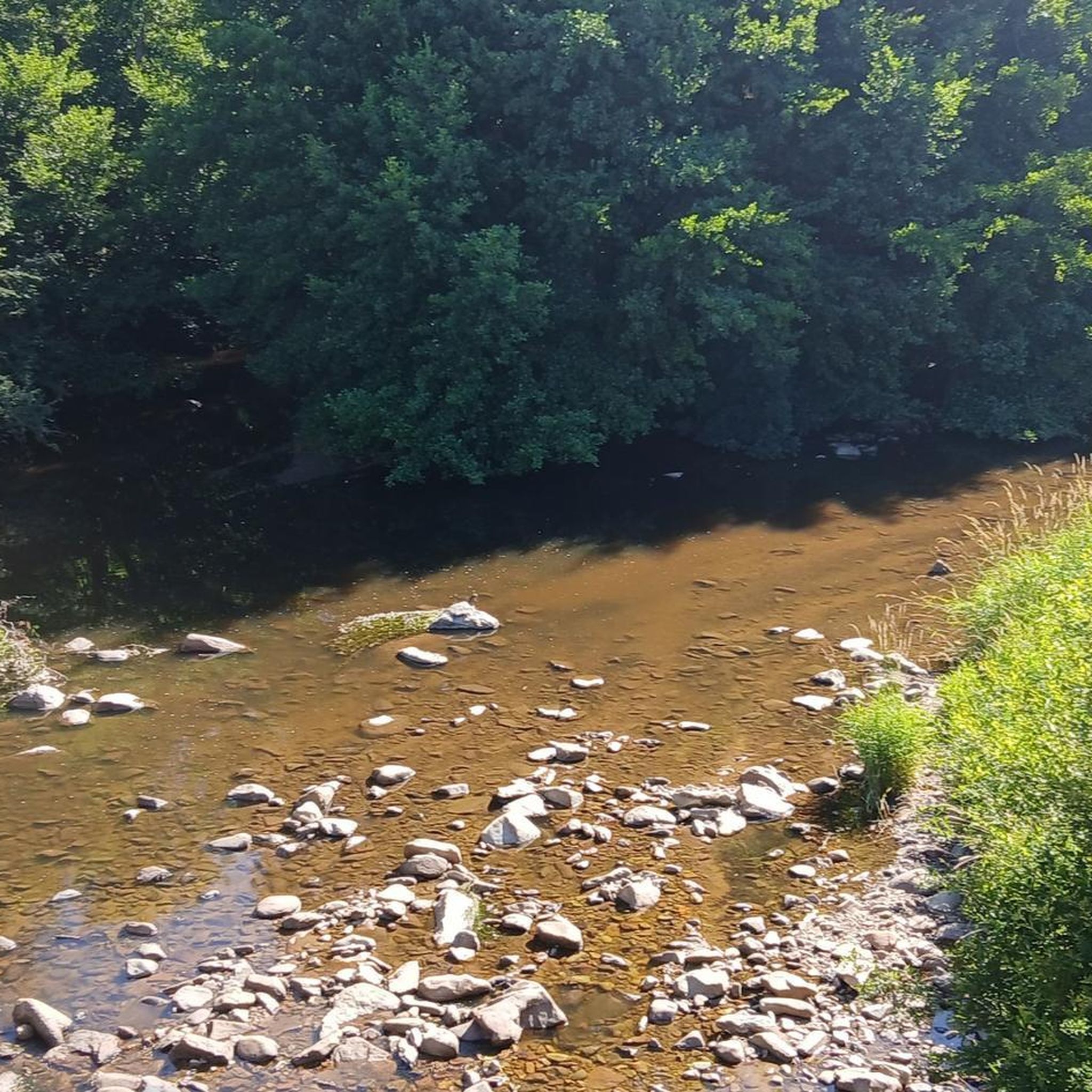
Hiking around La Petite-Marche offers diverse terrain within the Combrailles region of central France, characterized by elevations ranging from 310m to 505m. The landscape features the confluence of the Tartasse and Cher rivers, providing picturesque waterside views. Hikers can explore local forests, including the Forêt des Colettes, and experience varied terrain suitable for different skill levels. The area's natural beauty is shaped by its position near the departments of Puy-de-Dôme and Creuse.
Best hiking trails around La Petite-Marche
- The most…
Last updated: June 27, 2026
4.3
(8)
19
hikers
11.6km
03:09
170m
160m
Moderate hike. Good fitness required. Easily-accessible paths. Suitable for all skill levels.
4.6
(10)
57
hikers
8.24km
02:23
200m
200m
Moderate hike. Good fitness required. Easily-accessible paths. Suitable for all skill levels.

Sign up for free
5.0
(8)
43
hikers
5.62km
01:34
110m
110m
Easy hike. Great for any fitness level. Easily-accessible paths. Suitable for all skill levels.
5.0
(1)
17
hikers
21.4km
06:15
570m
570m
Hard hike. Very good fitness required. Easily-accessible paths. Suitable for all skill levels.
5.0
(3)
8
hikers
Moderate hike. Good fitness required. Easily-accessible paths. Suitable for all skill levels.
Get access to more routes and recommendations from other explorers.
Sign up for free
Already have an account?
Our route recommendations are based on thousands of hikes, rides, and runs completed by other people on komoot.
Start today with a free account
Your next adventure awaits.
Login or Signup



Tips from the Community

Beautiful, quiet place!
0
0

Very nice place with a beautiful panorama. Woody and entrenu! To do
2
0

Magnificent location, panoramic view, to be repeated several times!
2
0

Don't miss the Maison de la Combraille, a fun and interactive space dedicated to the territory of the same name. Beautiful abbey and imposing keep in the heart of the village.
2
0

After the construction of the Rochebut dam, this suspension bridge was built in 1921 to connect Budelière to Evaux-les-Bains.
4
0

To see: Sainte-Radegonde Chapel, Suspension bridge, Saint-Marien Chapel
0
0
Frequently Asked Questions
How many hiking trails are there around La Petite-Marche?
There are over 50 hiking routes available around La Petite-Marche, offering a wide range of options for exploring the region's natural beauty. These include trails of varying lengths and difficulty levels, from easy strolls to more challenging excursions.
What kind of terrain can I expect on hikes in La Petite-Marche?
The terrain around La Petite-Marche is diverse, characterized by river valleys, dense woodlands, and rolling hills. You'll find paths along the confluence of the Tartasse and Cher rivers, through forests like the Forêt des Colettes, and across varying altitudes ranging from 310m to 505m. This provides a varied landscape suitable for different hiking preferences.
Are there easy hiking trails suitable for beginners or casual walkers?
Yes, La Petite-Marche offers several easy hiking trails. For example, the Sainte-Radegonde Chapel – Suspension bridge loop from Entraigues is an easy 3.5-mile (5.6 km) trail that takes about 1 hour 34 minutes to complete, leading through peaceful countryside. In total, there are 14 easy routes to choose from.
What are some notable natural features or landmarks to see while hiking?
Hikers can explore several natural features and landmarks. The confluence of the Tartasse and Cher rivers offers picturesque waterside views. You might also encounter the Suspension bridge over the Cher River or walk Along the Cher, where the river forms gorges with high rocky cliffs. The Forêt des Colettes is also a significant natural area for shaded walks.
Are there any circular hiking routes in the area?
Yes, many of the trails around La Petite-Marche are circular, allowing you to start and end at the same point. A popular option is At the confluence of the Cher and the Tardes – loop, a moderate 7.2-mile (11.6 km) route. Another is the Le Chat-Cros loop from Évaux-les-Bains, which is 5.1 miles (8.2 km).
What do other hikers say about the trails in La Petite-Marche?
The hiking routes in La Petite-Marche are highly rated by the komoot community, with an average score of 4.6 stars from over 100 reviews. Hikers often praise the varied terrain, the scenic river valleys, and the peaceful atmosphere of the woodlands.
Is La Petite-Marche a good destination for family-friendly hikes?
Yes, the region offers several trails suitable for families. With 14 easy routes and many paths winding through gentle countryside and forests, you can find options that are manageable for children. The varied landscape provides engaging scenery without overly strenuous climbs.
Are dogs allowed on the hiking trails around La Petite-Marche?
Generally, dogs are welcome on most hiking trails in rural France, especially if kept on a leash. It's always a good idea to check local signage or specific route descriptions for any restrictions, particularly in nature reserves or protected areas. The numerous forest and riverside paths are typically dog-friendly.
Where can I find parking for hiking trails in La Petite-Marche?
While specific parking details for every trailhead are not always listed, La Petite-Marche and nearby villages typically offer public parking areas. For the 'Circuit de la Marche' which originates from the commune, you can expect designated parking within the village. For routes starting from other towns like Évaux-les-Bains or Entraigues, village centers or specific trailheads usually provide parking facilities.
Are there any places to eat or stay near the hiking routes?
While La Petite-Marche is a small commune, the surrounding region offers options. Nearby thermal villages like Néris-les-Bains (12 km away) and Évaux-les-Bains provide cafes, restaurants, and accommodation. Larger towns such as Montluçon (16 km away) also offer a wider range of services. These towns can be good bases for exploring the hiking trails.
What is the best time of year to go hiking in La Petite-Marche?
The region is enjoyable for hiking throughout much of the year. Spring and autumn offer pleasant temperatures and beautiful scenery with blooming flora or vibrant fall colors. Summer is also suitable, especially for shaded forest walks, though it can be warmer. Winter hiking is possible, but some paths might be muddy or require appropriate gear.
Are there any long-distance hiking options or more challenging routes?
While many routes are moderate, the region does offer longer options. For instance, the Sainte-Radegonde Chapel – Saint-Marien Suspension Bridge loop from Barrage de Rochebut is a moderate 7.9-mile (12.7 km) trail. There are 36 moderate and 2 difficult routes in total, providing opportunities for longer and more challenging excursions for experienced hikers.
Most popular attractions around La Petite-Marche

Get inspired with the komoot mobile app


Explore more
Browse the best Hikes in other regions.
