The best walks and hikes around Argiésans
4.5
(805)
5,699
hikers
364
hikes
Hiking around Argiésans offers a network of trails through varied terrain. The region is characterized by gently rolling landscapes, a mix of woodlands, and open agricultural areas. Elevation changes are generally moderate, making the area accessible for a range of hiking abilities. The trails often follow established paths through the countryside, connecting small villages and natural features.
Best hiking trails around Argiésans
- The most popular hiking route is La Savoureuse loop from Froideval, a 4.9 miles (7.9 km) trail…
Last updated: October 8, 2026
5.0
(3)
14
hikers
24.9km
06:51
390m
390m
Hard hike. Very good fitness required. Easily-accessible paths. Suitable for all skill levels.
5.0
(1)
12
hikers
7.87km
02:02
40m
40m
Moderate hike. Good fitness required. Easily-accessible paths. Suitable for all skill levels.

6
hikers
7.01km
01:50
50m
50m
Easy hike. Great for any fitness level. Easily-accessible paths. Suitable for all skill levels.
5.0
(2)
5
hikers
13.1km
03:27
120m
120m
Moderate hike. Good fitness required. Easily-accessible paths. Suitable for all skill levels.
5
hikers
15.0km
04:05
220m
220m
Moderate hike. Good fitness required. Easily-accessible paths. Suitable for all skill levels.
Get access to more routes and recommendations from other explorers.
Already have an account?
Our route recommendations are based on thousands of hikes, rides, and runs completed by other people on komoot.
Start today with a free account
Your next adventure awaits.
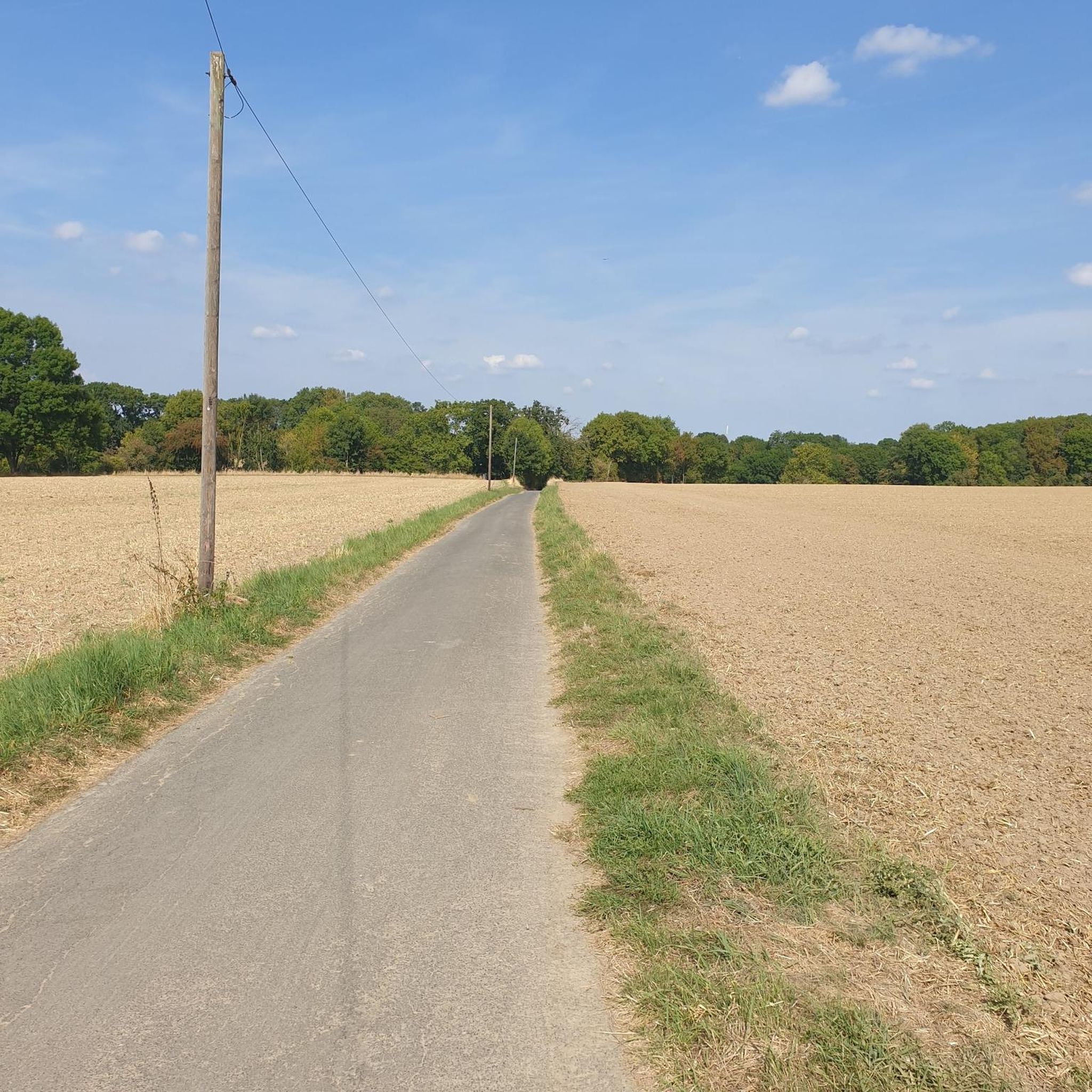
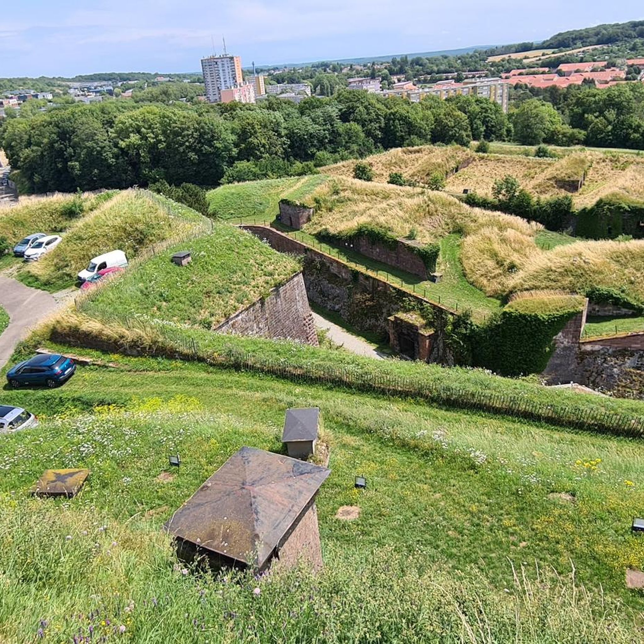
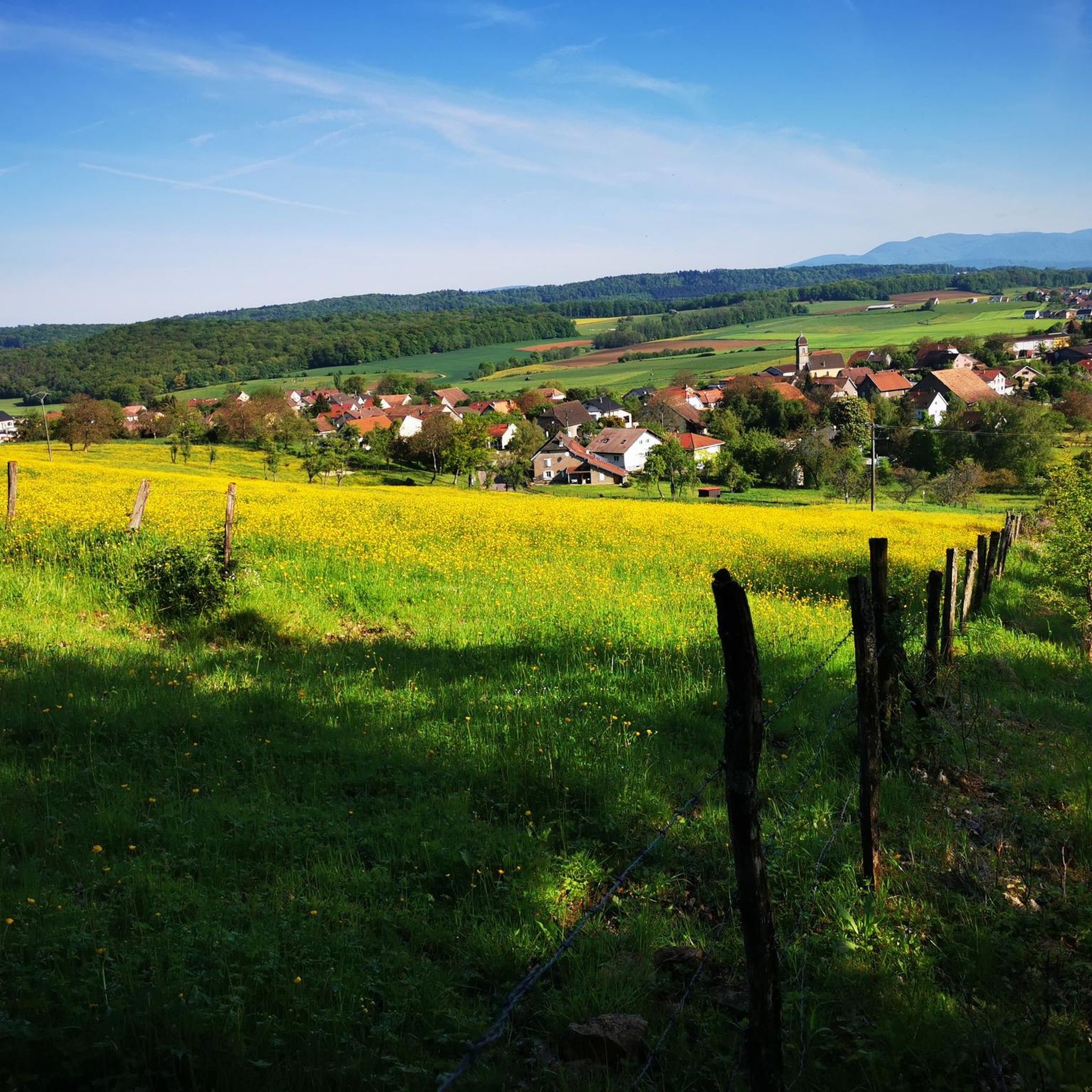
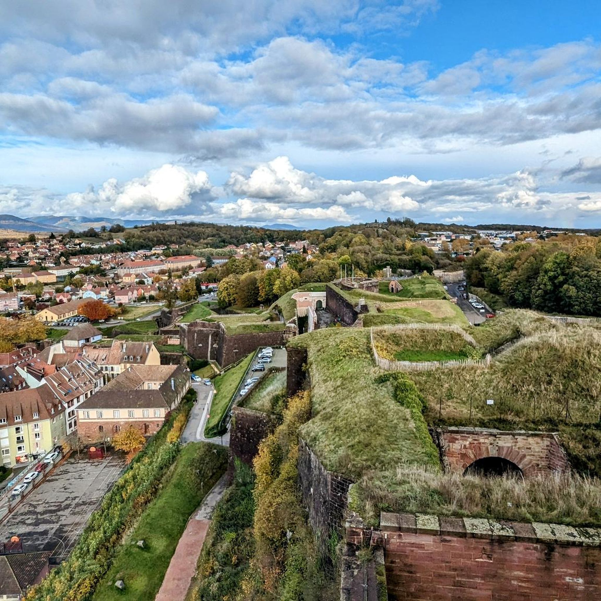

Tips from the Community

I noticed this highlight during my search. However, it is not on the Haute Saône Canal but on an independent river, the Savoureuse. According to Wikipedia: The Savoureuse is a right tributary of the Allan, around 41 kilometers long, in the French department of Territoire de Belfort in the Bourgogne-Franche-Comté region. It flows through the city of Belfort and drains the western part of the department to the Mediterranean via the Allan, Doubs, Saône and Rhône water system. The Savoureuse catchment area covers an area of around 225 km². The river name comes from the Patois expression savour (saw). https://de.m.wikipedia.org/wiki/Savoureuse
2
0

Memorial to the fallen of the two world wars 🕊️
0
0

Beautiful cycle route Coulée Verte along the canal. The name is a bit..., I suggested a change on Komoot.
1
1

The Haute-Saône canal, also called the Montbéliard to Haute-Saône canal, is a waterway which begins in the north of the Doubs department, crosses the south-western part of the Territoire de Belfort and of which an unfinished section, is located in the eastern part of Haute-Saône.
0
1

The walls are super interesting.
0
0

Velo route from Belfort to Montbeliard along the Haute Saone canal
5
1
Keep your eyes open while searching. Located directly on the forest path.
0
0
Frequently Asked Questions
How many hiking trails are available around Argiésans?
There are over 340 hiking routes available in the Argiésans area, catering to various skill levels. This includes approximately 150 easy routes, 180 moderate routes, and a smaller selection of more challenging trails.
Are there easy hiking trails suitable for beginners or families in Argiésans?
Yes, Argiésans offers many easy trails perfect for beginners or families. For instance, the Hiking loop from Botans is an easy 4.3-mile (7.0 km) path with minimal elevation gain, exploring the local countryside.
Can I find circular walks in the Argiésans area?
Many of the trails around Argiésans are designed as circular routes, allowing you to start and end at the same point. A popular option is the Hiking loop from Argiésans, an 8.1-mile (13.1 km) trail through woodlands and open fields.
Are there challenging hikes for experienced hikers near Argiésans?
While the region is generally characterized by moderate terrain, there are some longer routes that offer more of a challenge. The Côte d'Essert Fort loop from Urcerey, for example, is a moderate 9.3-mile (15.0 km) hike with over 200 meters of elevation gain, providing a more demanding experience.
What kind of natural attractions or landmarks can I see while hiking?
The trails often lead through varied landscapes, including woodlands and agricultural areas. You can explore highlights such as the Savoureuse Valley Nature Reserve or enjoy views over Lake Malsaucy. Historical sites like the Citadel of Belfort are also within reach.
Are dogs allowed on the hiking trails in Argiésans?
Generally, dogs are welcome on most hiking trails in the Argiésans region, especially on public footpaths through natural areas. However, it's always advisable to keep them on a leash, particularly in agricultural areas or near wildlife, and to check for any specific local restrictions.
What is the best time of year to hike in Argiésans?
The best time to hike in Argiésans is typically from spring through autumn (April to October). During these months, the weather is mild, and the landscapes are vibrant. Autumn offers particularly beautiful scenery with changing foliage. Winter hiking is possible, but some trails might be muddy or require appropriate gear.
Where can I find parking for hiking trails in Argiésans?
Many trailheads in and around Argiésans, especially those starting from villages like Froideval, Botans, or Argiésans itself, offer designated parking areas. It's common to find parking near local community centers or church squares, which often serve as starting points for popular loops.
Are there any opportunities for wild swimming after a hike?
While direct wild swimming spots on hiking trails are not explicitly highlighted, the region features several lakes and ponds. You might consider visiting Véronne Pond or Étang du Malsaucy, which are popular for water activities and could offer a refreshing dip after a hike, though always check local regulations for swimming.
What do other hikers enjoy most about hiking in Argiésans?
The hiking experience in Argiésans is highly rated by the komoot community, with an average score of 4.5 stars from over 600 reviews. Hikers often praise the region's diverse landscapes, which include a pleasant mix of woodlands and open fields, and the well-maintained paths that make for enjoyable walks.
How long do hikes typically take in Argiésans?
Hikes in Argiésans vary in length and duration. Shorter, easy routes like the Hiking loop from Dorans can be completed in under 2 hours, while moderate trails such as La Savoureuse loop from Froideval typically take around 2 hours. Longer routes can extend to 3-4 hours or more, depending on your pace and the trail's difficulty.
What should I wear for autumn hikes in Argiésans?
For autumn hikes in Argiésans, it's best to dress in layers. Mornings can be cool, but temperatures often rise during the day. Waterproof or water-resistant outerwear is recommended due to potential rain or damp conditions, along with comfortable, sturdy hiking boots suitable for varied terrain.
Most popular routes around Argiésans
Most popular attractions around Argiésans

Get inspired with the komoot mobile app


Explore more
Browse the best Hikes in other regions.
