The best road cycling routes around Birr
4.6
(466)
17,459
riders
406
rides
Road cycling around Birr, located in County Offaly, Ireland, offers diverse landscapes for cyclists. The region features a mix of flat terrain and more challenging ascents, particularly towards the Slieve Bloom mountains. Cyclists can explore areas characterized by natural parklands, such as Lough Boora, and historic sites like Birr Castle. The topography provides varied experiences, from gentle rides along river valleys to routes with significant elevation gains.
Best road cycling routes around Birr
- The most popular road cycling route is…
Last updated: October 16, 2026
4.5
(2)
44
riders
41.7km
01:55
380m
380m
Moderate road ride. Good fitness required. Some segments of this route may be unpaved and difficult to ride.
41
riders
29.3km
01:34
480m
480m
Moderate road ride. Good fitness required. Some segments of this route may be unpaved and difficult to ride.

5.0
(6)
203
riders
72.8km
03:40
1,110m
1,110m
Hard road ride. Very good fitness required. Some segments of this route may be unpaved and difficult to ride.
4.5
(2)
39
riders
63.8km
03:03
810m
810m
Moderate road ride. Good fitness required. Mostly well-paved surfaces and easy to ride.
32
riders
87.9km
03:57
910m
900m
Hard road ride. Very good fitness required. Mostly well-paved surfaces and easy to ride.
Get access to more routes and recommendations from other explorers.
Already have an account?
Our route recommendations are based on thousands of hikes, rides, and runs completed by other people on komoot.
Start today with a free account
Your next adventure awaits.

Tips from the Community

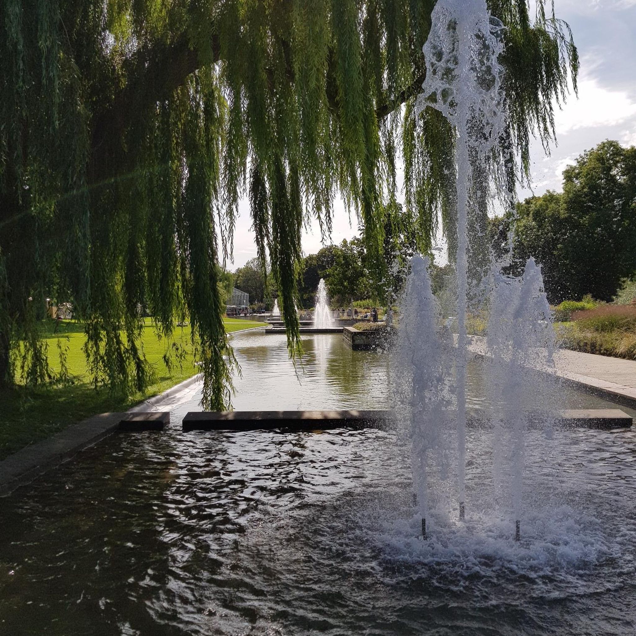
The Bassin de Champagney (or Champagney Reservoir) is an impressive artificial reservoir with a surface area of 107 hectares, located in the French department of Haute-Saône (Bourgogne-Franche-Comté region). The reservoir is situated in the southern foothills of the Vosges and was built between 1882 and 1905 to supply water to the never fully completed Canal de la Haute-Saône. Today, the lake has a capacity of 13 million m³ and is a popular destination for nature lovers, hikers, and fishermen.
6
0
This large lake is a popular stop along the cycling routes around Belfort, with beautiful views over the water and the surrounding nature.
6
0
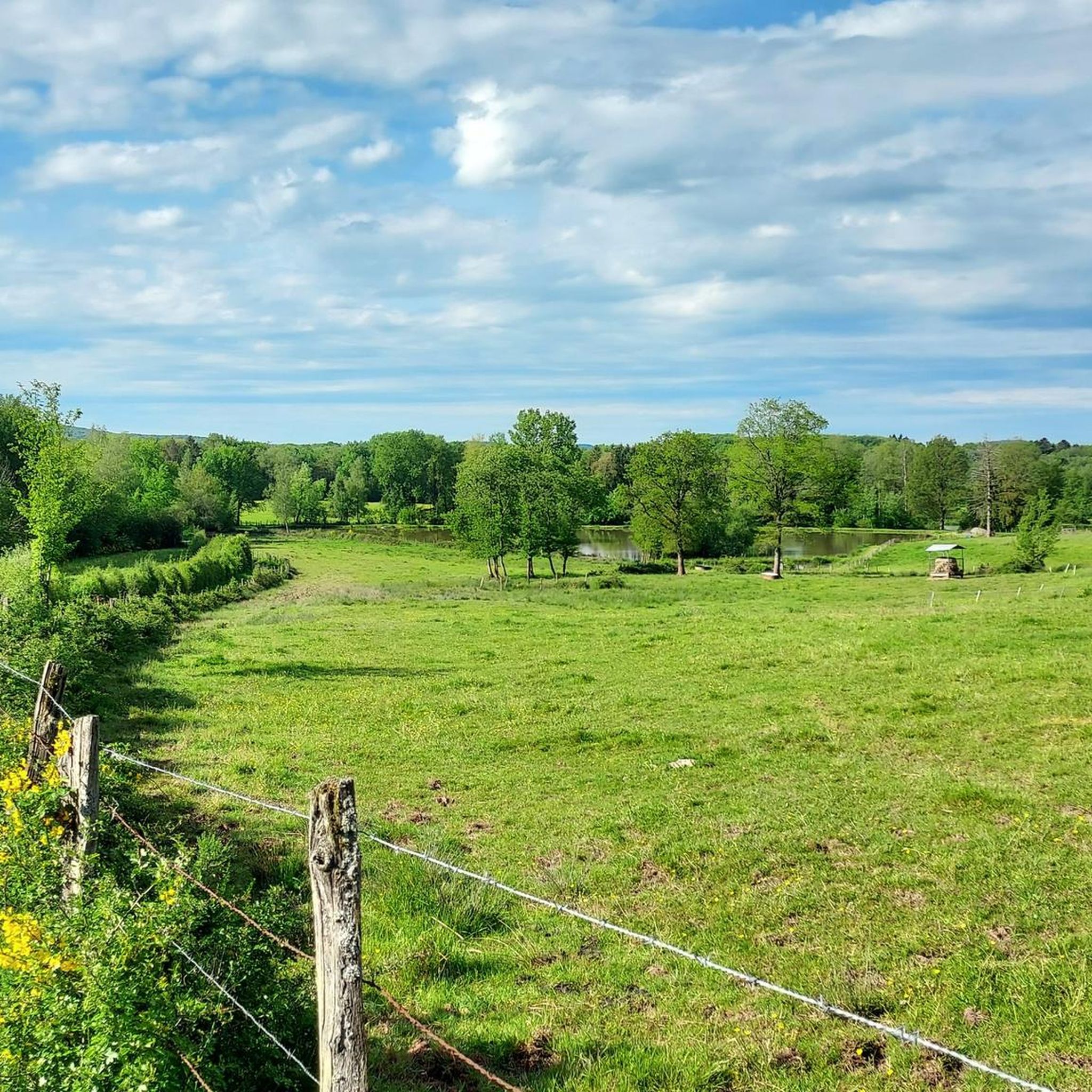
The Étang du Malsaucy (often also called Lac du Malsaucy) is, with an area of 55 hectares, the largest lake in the French department of Territoire de Belfort. It is nestled in the Parc naturel régional des Ballons des Vosges, spread across the municipalities of Évette-Salbert, Lachapelle-sous-Chaux, and Sermamagny. Originally built at the end of the 15th century for fish farming, it is now one of the most important recreational and natural areas in the region.
6
0
La Planche des Belles Filles is a 5.8 kilometer climb. It is a category 1 climb. It is located in Plancher Les Mines, Franche-Comté, France. The average gradient of this climb is 8.6% with a maximum of 13.6%. La Planche des Belles Filles climbs from 527 meters at the start to 1,033 meters at the summit, for a total elevation gain of 506 meters.
7
0
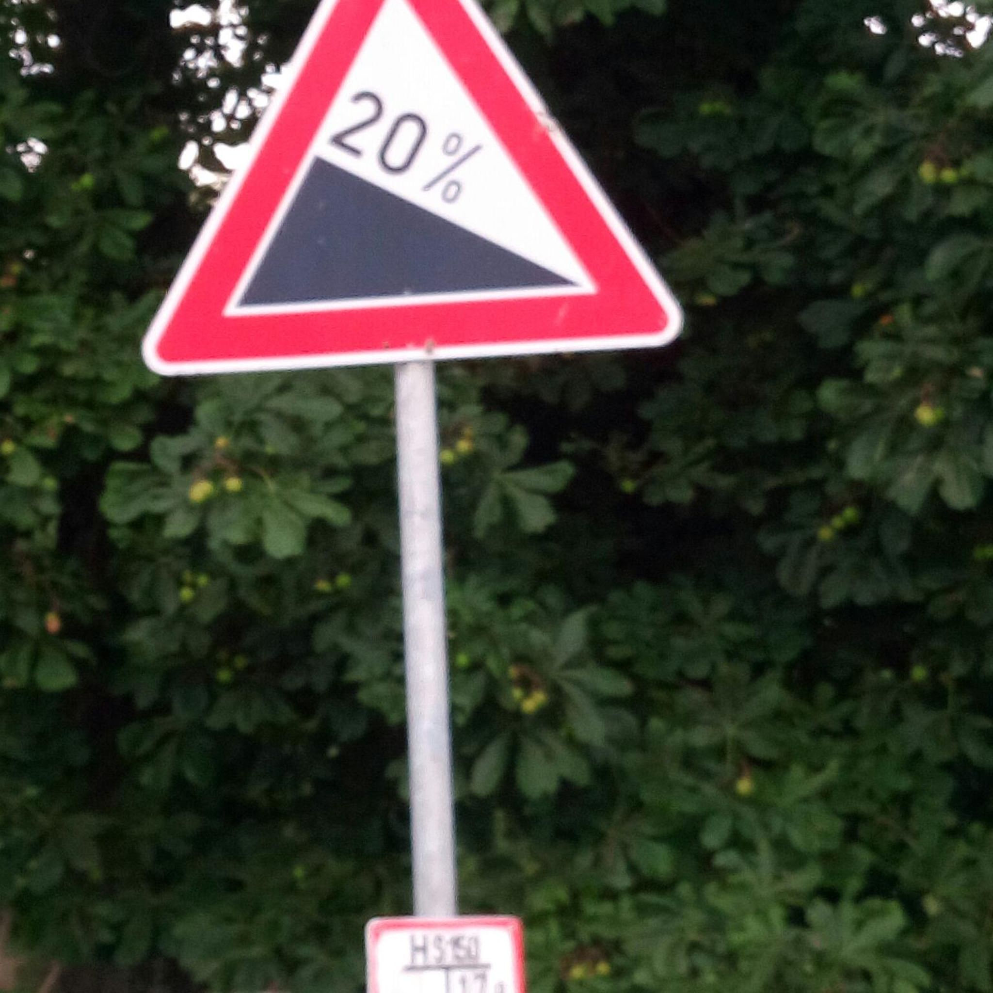
This 5.9-kilometer climb from the village of Plancher-les-Mines in Haute-Saône is one of the most difficult in the Vosges. Indeed, cyclists who want to try it will need to be at least somewhat trained. With a gradient of 24% towards the end of the route, it's better to be well-attached. The gradient never seems to ease, with its hairpin bends and, upon reaching the resort, the last 2 kilometers rise like a wall. However, you'll be able to say that you've done it, so come and try the climb of La Planche too!
8
0
At the foot of the climb to La Planche des Belles Filles stands this modest water tower — a wooden reservoir on a steel frame, built in the mid-20th century to provide the mountain village with water pressure. Today, it forms a quiet industrial accent between fir and pine trees, overlooking the Ballon de Servance. For cyclists, it marks the last flat stretch before the climb.
7
0

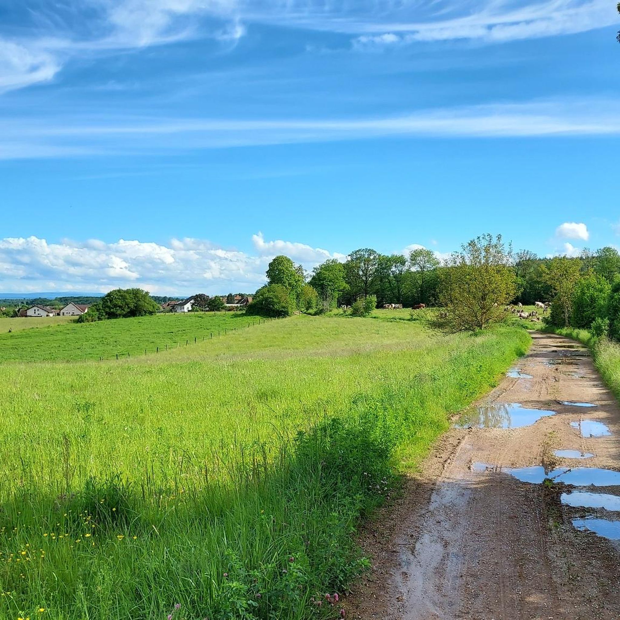
Beautiful pass to ride. Not many cars are out here.
0
0

It starts gently... but that's just the beginning.
1
0
Frequently Asked Questions
How many road cycling routes are available around Birr?
Birr and its surrounding areas offer a wide selection of road cycling routes, with over 400 tours available. These routes cater to various skill levels, ensuring there's something for everyone.
What types of terrain can I expect on road cycling routes in Birr?
Road cycling around Birr features diverse landscapes. You'll find a mix of flat terrain, particularly along river valleys and through natural parklands like Lough Boora, alongside more challenging ascents as routes approach the Slieve Bloom mountains. The topography provides varied experiences, from gentle rides to routes with significant elevation gains.
Are there routes suitable for beginners or families in Birr?
Yes, Birr offers routes suitable for various abilities. The Birr Cycle Hub includes easier options like Loop 3A, an 11.4-mile ride exploring Birr Castle and the Camcor River, which is ideal for a more relaxed pace or family outings. There are approximately 77 easy routes in the area.
What are some notable landmarks or attractions I can see while cycling in Birr?
Many routes in Birr incorporate scenic and historic points of interest. You can cycle past the historic Birr Castle and its gardens, explore the unique landscapes of Lough Boora Parklands, or enjoy views of the Slieve Bloom mountains. These features add cultural and natural beauty to your ride.
What is the best time of year for road cycling in Birr?
The best time for road cycling in Birr generally aligns with milder weather conditions, typically from spring through early autumn. During these seasons, you can expect more favorable temperatures and less rainfall, making for more enjoyable rides through the diverse landscapes.
Are there challenging road cycling routes for experienced cyclists?
Absolutely. For experienced cyclists seeking more demanding rides, the Birr area offers routes with significant elevation changes, especially those that venture towards the Slieve Bloom mountains. Approximately 89 routes are classified as difficult, providing a good challenge.
What do other cyclists say about road cycling in Birr?
The road cycling routes around Birr are highly regarded by the komoot community, holding an average rating of 4.6 stars from over 300 reviews. Cyclists often praise the varied terrain, scenic views, and the mix of cultural and natural attractions along the routes.
Are there any circular road cycling routes in Birr?
Yes, the Birr Cycle Hub is specifically designed with several circular loops. Options like Loop 3 (28.2 miles) and Loop 3B (31.1 or 39.7 miles) allow cyclists to start and finish in the same location while exploring diverse landscapes, including views of the Slieve Bloom mountains and Lough Boora Parklands.
Can I find places to eat or stay that are cyclist-friendly in Birr?
Birr, being a destination for outdoor activities, generally offers amenities that cater to visitors. While specific cyclist-friendly cafes, pubs, or accommodations with bike storage aren't detailed in the route information, the town's focus on outdoor tourism suggests you'll find welcoming establishments for refreshments and overnight stays.
What is the general difficulty level of road cycling routes in Birr?
The road cycling routes in Birr cater to a broad spectrum of abilities. While there are easy options for beginners, the majority of routes, around 242, are classified as moderate, offering a balanced challenge with some elevation changes and varied terrain. There are also difficult routes for those seeking a greater test.
Are there specific Birr Cycle Hub routes I should consider?
The Birr Cycle Hub features several popular loops. Loop 3A is an easy 11.4-mile ride, while Loop 3 (28.2 miles) and Loop 3B (31.1 or 39.7 miles) offer more moderate options to explore the diverse landscapes, including views of the Slieve Bloom mountains and Lough Boora Parklands.
Is public transport available to access cycling routes in Birr?
Birr is a well-established town in County Offaly, and while specific public transport links directly to trailheads are not detailed, the town itself is accessible. Cyclists can typically reach Birr via regional bus services, and from there, many routes are accessible directly from the town or a short ride away.
Most popular attractions around Birr

Get inspired with the komoot mobile app


Explore more
Browse the best Road cycling routes in other regions.
